
Anderson Regional Airport
 Anderson · Estados Unidos· Anderson Regional Airport
Anderson Regional Airport (IATA: AND, OACI KAND) es un aeropuerto mediano que da servicio a Anderson, Estados Unidos.
Anderson Regional Airport is a medium-sized airport, at an elevation of about 782 ft. This page gathers its location map, airport codes and travel information.
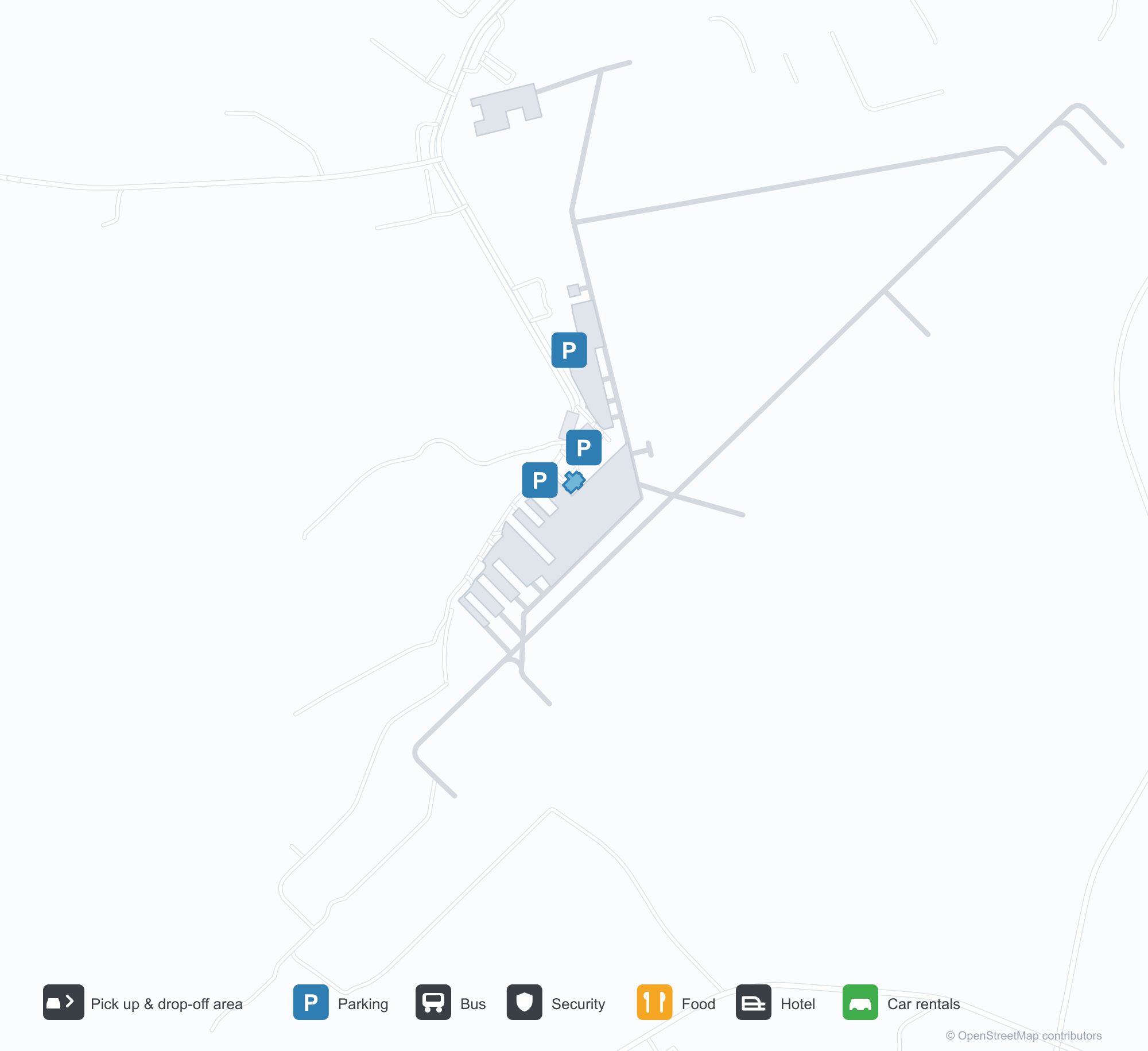
Descargar mapas de aeropuertosDescargas
Fotos del aeropuertoFotos del aeropuerto
Fotos reales de este aeropuerto, cada una con la referencia de la página web pública donde se encontró; los derechos de autor siguen siendo de los fotógrafos originales. Haz clic en una foto para ampliarla o en la línea de crédito para abrir su página de origen.
Vista satelital: dos pistas se cruzan en una campiña verde, con la terminal y la plataforma cerca de la intersección.
Bajo un cielo azul despejado, una pequeña terminal revestida de piedra con tejado metálico verde y pórtico de entrada de madera tiene una bandera estadounidense ondeando junto a sus puertas.
Desde el aire, dos pistas se cruzan entre bosques y tierras agrícolas, con algunos edificios blancos dispersos cerca de los extremos de las franjas.
Un letrero de entrada de base de piedra da la bienvenida al Aeropuerto Regional de Anderson con grandes letras blancas, con una camioneta aparcada detrás.
A través de una valla metálica, un letrero amarillo junto a la pista marca 17 y 35, con una pequeña torre blanca y un avión rojo más allá.
Un parque infantil junto al aeródromo pinta marcas de pista en su superficie azul, con toboganes y estructuras de trepa bajo marquesinas verdes de sombra.
Información y datos del aeropuertoDatos del aeropuerto
Mapa interactivo — ubicación de Anderson Regional AirportMapa interactivo
Consulta este aeropuerto en otros servicios de mapas:
Anderson Regional Airport (AND): Two Runways and a Blank Route TableGuía del aeropuerto
From above, two runways cross in green countryside, with the terminal and apron near the intersection and woods, fields and town around them. The field serves Anderson, South Carolina, at an elevation of about 238 m, with runways of 1,829 m and 1,523 m; the 2014 snapshot records no scheduled routes, and OurAirports lists it for general aviation and charters.
Satellite view
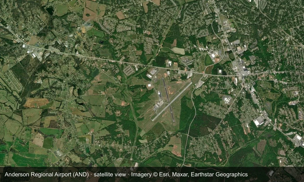
Satellite view: two runways cross in green countryside, with the terminal and apron near the intersection.
The satellite image comes from Esri World Imagery (© Esri, Maxar, Earthstar Geographics); the field and attribution are labelled in the image. This is a satellite view, not a ground-level photograph.
Airport at a glance
| Item | Detail |
|---|---|
| IATA / ICAO | AND / KAND |
| Role | Medium-sized airport |
| Elevation | about 238 m |
| Coordinates | 34.4946, -82.7094 |
| Runways | 2, longest 1,829 m |
| Non-stop destinations | 0 in the 2014 snapshot |
Runways
| Runway | Length | Width | Surface |
|---|---|---|---|
| 05/23 | 1,829 m | 45 m | asphalt |
| 17/35 | 1,523 m | 45 m | asphalt |
2 runways, the longest 1,829 m.
Non-stop routes
The route dataset carries no scheduled non-stop services for this airport. Regional schedules change often — confirm with the airline or airport before booking.
Nearby airports to compare
If the fares are close, these are the nearest airports of the same class (medium-sized airport) — straight-line distance, with their own non-stop counts from the same dataset:
| Airport | Distance | Non-stop destinations |
|---|---|---|
| Athens Ben Epps Airport (AHN) | ~83 km | — |
| Asheville Regional Airport (AVL) | ~106 km | 8 |
Before you fly
- No scheduled routes are recorded; contact the airport or operator directly about movements and fuel before planning a trip.
- For scheduled passenger service, compare nearby airports with the search box before arranging ground transport.
About the data
Runways, elevation and coordinates come from OurAirports open data. Routes and carriers come from the June 2014 OpenFlights snapshot and include codeshares and interline services; they indicate network shape and scale, not current schedules.
History
The field has grown steadily since opening — one runway gained 300 m in 2007, clearing the way for larger regional jets. It has no scheduled airline service and no control tower, yet ranks among the busiest airports in upstate South Carolina.
Source: Anderson Rgnl Airport.
Comentarios de los lectoresDebate
Las preguntas, los relatos de viaje y las correcciones son bienvenidos. Los comentarios son públicos.
Cargando…
Cargando comentarios…