
Anderson Regional Airport
 Anderson · США· Anderson Regional Airport
Anderson Regional Airport (IATA: AND, ICAO KAND) — аэропорт среднего размера в городе Anderson, США.
Anderson Regional Airport is a medium-sized airport, at an elevation of about 782 ft. This page gathers its location map, airport codes and travel information.
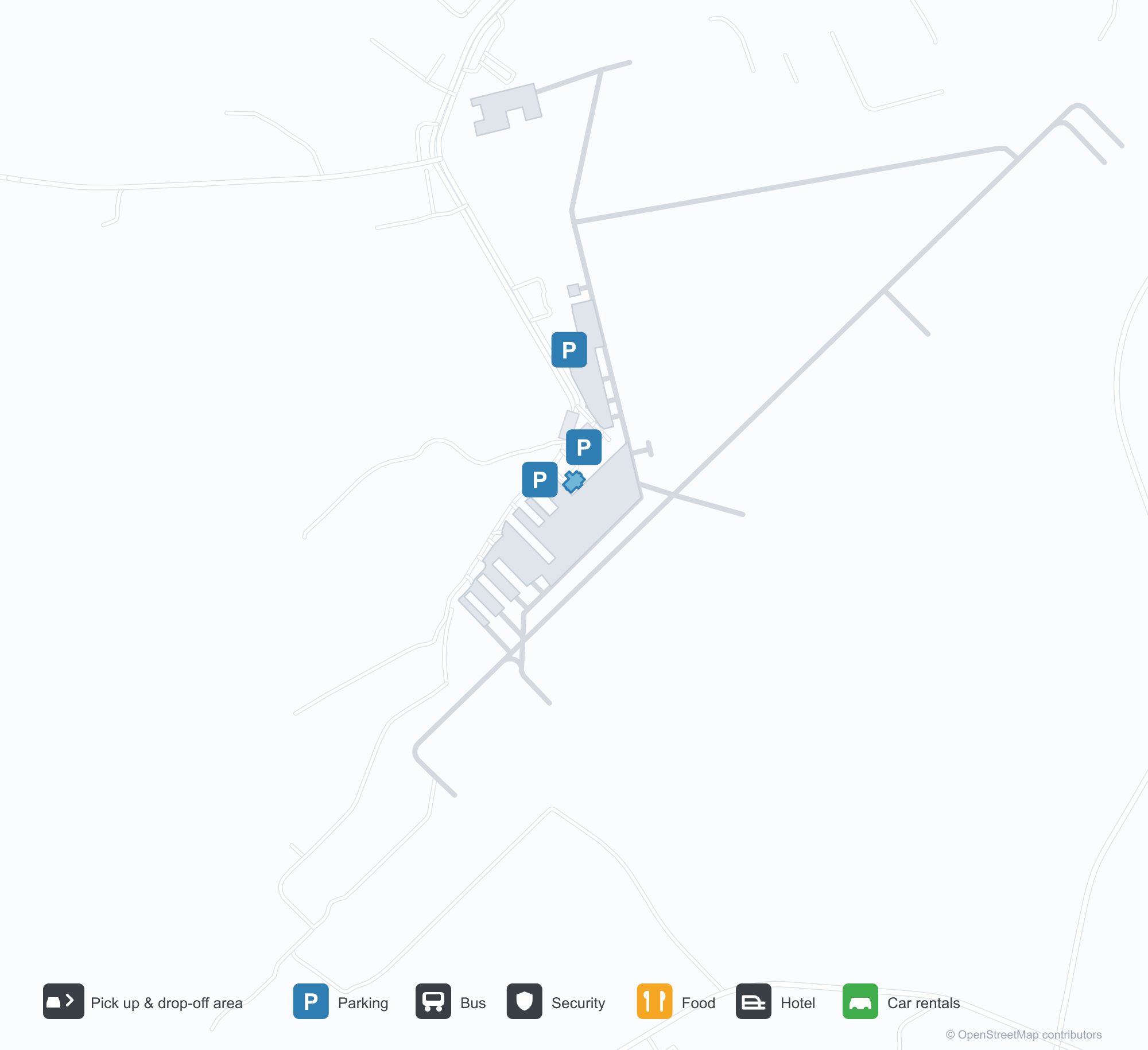
Скачать карты аэропортаЗагрузки
Фотографии аэропортаФото аэропорта
Реальные фотографии этого аэропорта; у каждой указан источник — общедоступная веб-страница. Авторские права принадлежат фотографам. Нажмите на фото, чтобы увеличить, или на подпись, чтобы открыть источник.
Вид со спутника: две полосы пересекаются в зелёной сельской местности, терминал и перрон — у перекрестья.
Под ясным синим небом небольшой терминал с каменной облицовкой, зелёной металлической крышей и деревянным входным портиком; у дверей развевается американский флаг.
С воздуха две полосы пересекаются между лесом и сельхозугодьями, у концов полос разбросано несколько белых зданий.
Входная вывеска на каменном основании крупными белыми буквами приветствует посетителей регионального аэропорта Андерсона, позади припаркован пикап.
Через сетчатый забор видна жёлтая табличка у полосы с обозначениями 17 и 35, дальше — небольшая белая вышка и красный самолёт.
Детская площадка у аэродрома раскрашена разметкой полосы на синей поверхности, под зелёными навесами стоят горки и лазалки.
Информация об аэропортеСведения об аэропорте
Интерактивная карта: Anderson Regional AirportИнтерактивная карта
Посмотреть этот аэропорт на других картографических сервисах:
Anderson Regional Airport (AND): Two Runways and a Blank Route TableПутеводитель по аэропорту
From above, two runways cross in green countryside, with the terminal and apron near the intersection and woods, fields and town around them. The field serves Anderson, South Carolina, at an elevation of about 238 m, with runways of 1,829 m and 1,523 m; the 2014 snapshot records no scheduled routes, and OurAirports lists it for general aviation and charters.
Satellite view
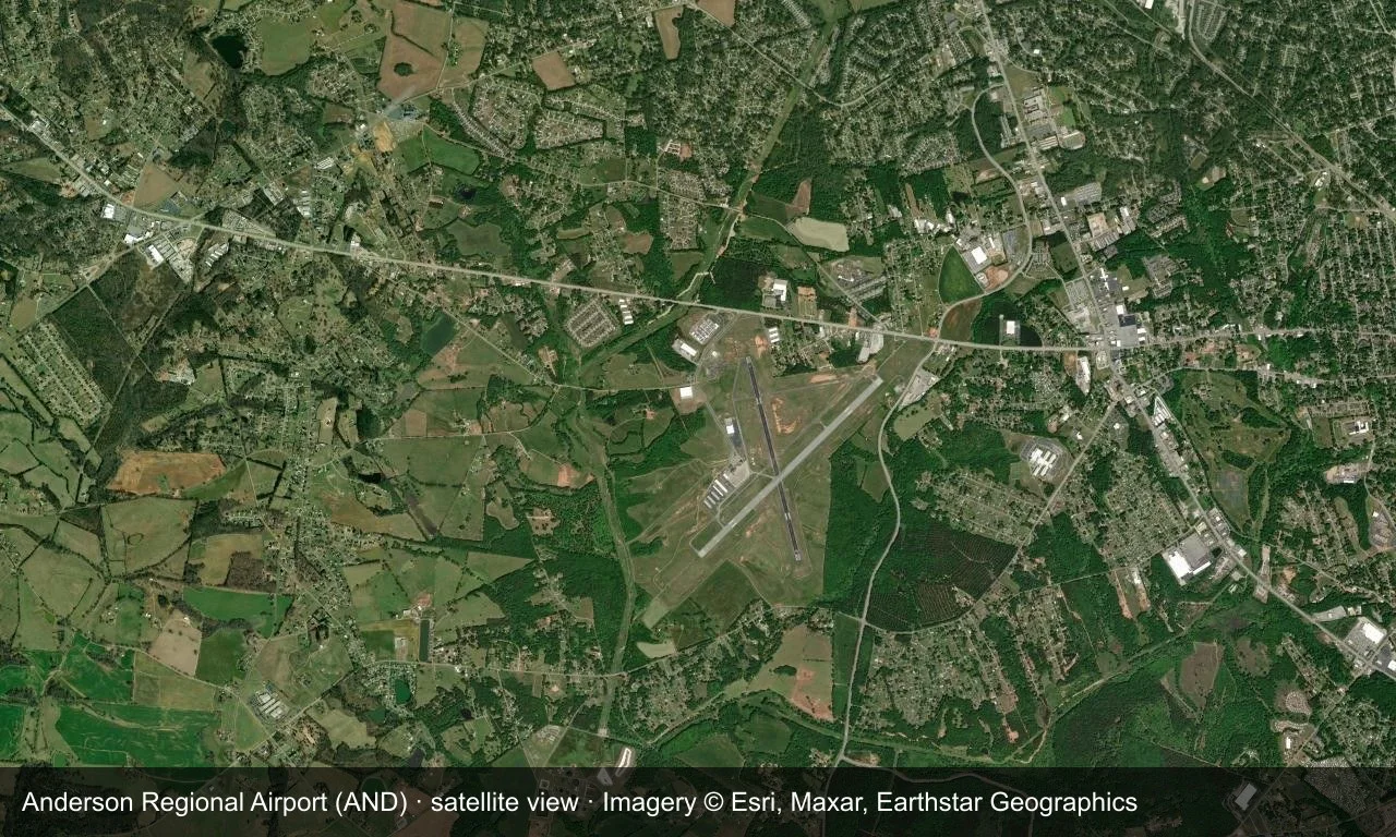
Satellite view: two runways cross in green countryside, with the terminal and apron near the intersection.
The satellite image comes from Esri World Imagery (© Esri, Maxar, Earthstar Geographics); the field and attribution are labelled in the image. This is a satellite view, not a ground-level photograph.
Airport at a glance
| Item | Detail |
|---|---|
| IATA / ICAO | AND / KAND |
| Role | Medium-sized airport |
| Elevation | about 238 m |
| Coordinates | 34.4946, -82.7094 |
| Runways | 2, longest 1,829 m |
| Non-stop destinations | 0 in the 2014 snapshot |
Runways
| Runway | Length | Width | Surface |
|---|---|---|---|
| 05/23 | 1,829 m | 45 m | asphalt |
| 17/35 | 1,523 m | 45 m | asphalt |
2 runways, the longest 1,829 m.
Non-stop routes
The route dataset carries no scheduled non-stop services for this airport. Regional schedules change often — confirm with the airline or airport before booking.
Nearby airports to compare
If the fares are close, these are the nearest airports of the same class (medium-sized airport) — straight-line distance, with their own non-stop counts from the same dataset:
| Airport | Distance | Non-stop destinations |
|---|---|---|
| Athens Ben Epps Airport (AHN) | ~83 km | — |
| Asheville Regional Airport (AVL) | ~106 km | 8 |
Before you fly
- No scheduled routes are recorded; contact the airport or operator directly about movements and fuel before planning a trip.
- For scheduled passenger service, compare nearby airports with the search box before arranging ground transport.
About the data
Runways, elevation and coordinates come from OurAirports open data. Routes and carriers come from the June 2014 OpenFlights snapshot and include codeshares and interline services; they indicate network shape and scale, not current schedules.
History
The field has grown steadily since opening — one runway gained 300 m in 2007, clearing the way for larger regional jets. It has no scheduled airline service and no control tower, yet ranks among the busiest airports in upstate South Carolina.
Source: Anderson Rgnl Airport.
Комментарии читателейОбсуждение
Вопросы, отчёты о поездках и исправления приветствуются. Комментарии видны всем.
Загрузка…
Загрузка комментариев…