
Anderson Regional Airport
 Anderson · ABD· Anderson Regional Airport
Anderson Regional Airport (IATA: AND, ICAO KAND), Anderson, ABD kentine hizmet veren bir orta büyüklükte havalimanıdır.
Anderson Regional Airport is a medium-sized airport, at an elevation of about 782 ft. This page gathers its location map, airport codes and travel information.
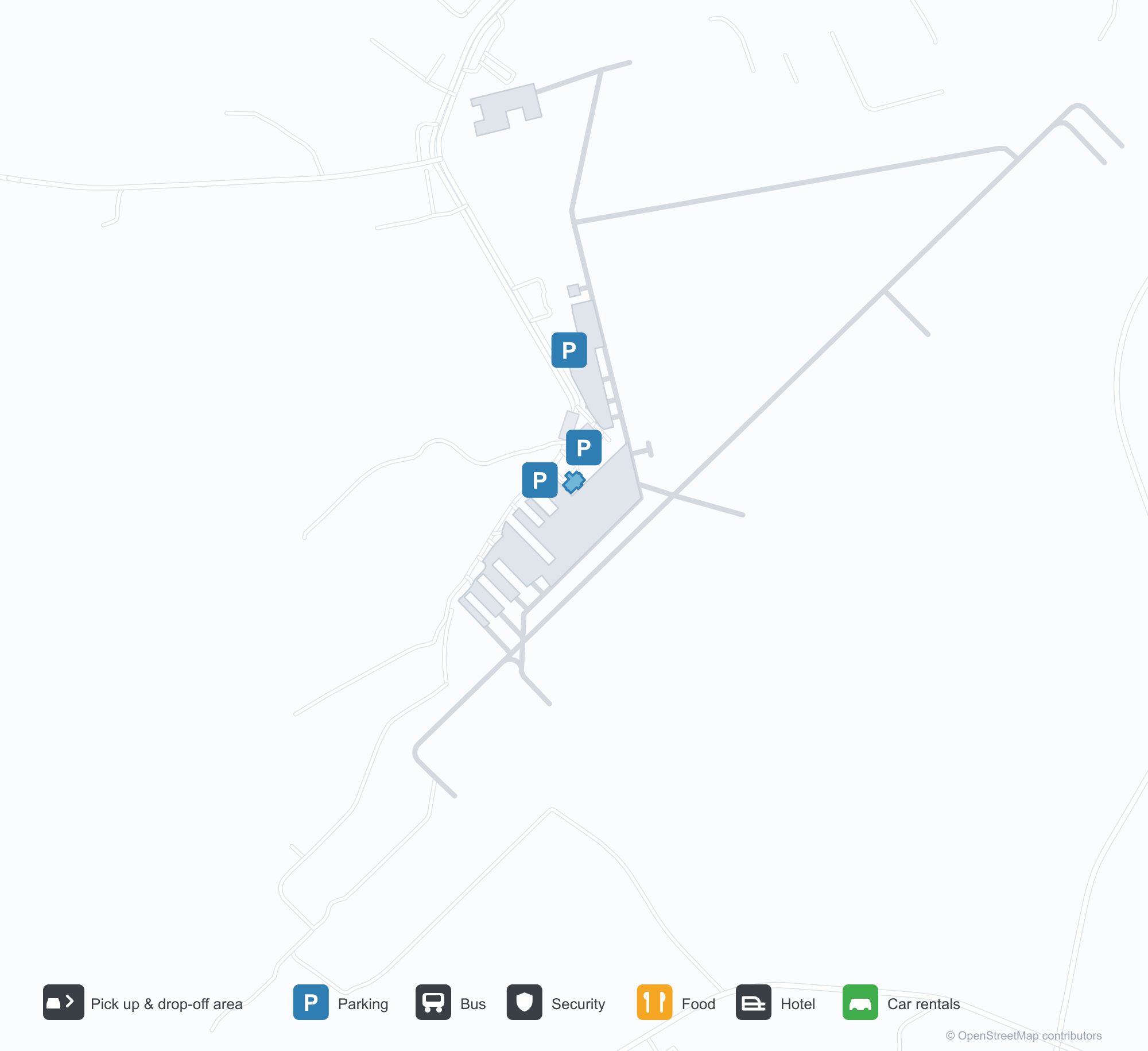
Havalimanı Haritalarını İndirinİndirmeler
Havalimanı fotoğraflarıHavalimanı Fotoğrafları
Bu havalimanının gerçek fotoğrafları; her fotoğrafın altında, fotoğrafın bulunduğu kamuya açık web sayfasına bir atıf yer alır ve telif hakkı özgün fotoğrafçılarda kalır. Yakınlaştırmak için bir fotoğrafa, kaynak sayfasını açmak için bir atıf satırına tıklayın.
Uydu görüntüsü: yeşil kırlar arasında iki pist kesişiyor; terminal ve apron kesişme noktasının yakınında.
Açık mavi gökyüzü altında yeşil metal çatılı ve ahşap giriş portikolu küçük taş kaplama terminalin kapılarında bir Amerikan bayrağı dalgalanıyor.
Havadan bakıldığında iki pist ormanlık alan ile tarım arazileri arasında kesişiyor; pist uçlarının yakınında birkaç beyaz bina dağılmış.
Taş kaideli bir giriş tabelası, büyük beyaz harflerle Anderson Bölge Havalimanı'na hoş geldiniz yazıyor; arkasında bir pickup kamyonu park etmiş.
Tel örgü çitin ötesinden bakınca pistin yanındaki sarı tabelada 17 ve 35 yazıyor; ileride küçük beyaz bir kule ve kırmızı bir uçak var.
Havaalanının yanındaki bir oyun parkı, mavi zeminine pist işaretleri çizmiş; yeşil gölgelik tentelerin altında kaydıraklar ve tırmanma çerçeveleri var.
Havalimanı bilgileri ve ayrıntılarıHavalimanı Ayrıntıları
Etkileşimli harita — Anderson Regional Airport konumuEtkileşimli Harita
Bu havalimanını diğer harita hizmetlerinde görüntüleyin:
Anderson Regional Airport (AND): Two Runways and a Blank Route TableHavalimanı Rehberi
From above, two runways cross in green countryside, with the terminal and apron near the intersection and woods, fields and town around them. The field serves Anderson, South Carolina, at an elevation of about 238 m, with runways of 1,829 m and 1,523 m; the 2014 snapshot records no scheduled routes, and OurAirports lists it for general aviation and charters.
Satellite view
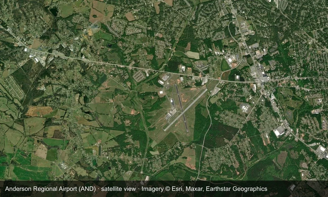
Satellite view: two runways cross in green countryside, with the terminal and apron near the intersection.
The satellite image comes from Esri World Imagery (© Esri, Maxar, Earthstar Geographics); the field and attribution are labelled in the image. This is a satellite view, not a ground-level photograph.
Airport at a glance
| Item | Detail |
|---|---|
| IATA / ICAO | AND / KAND |
| Role | Medium-sized airport |
| Elevation | about 238 m |
| Coordinates | 34.4946, -82.7094 |
| Runways | 2, longest 1,829 m |
| Non-stop destinations | 0 in the 2014 snapshot |
Runways
| Runway | Length | Width | Surface |
|---|---|---|---|
| 05/23 | 1,829 m | 45 m | asphalt |
| 17/35 | 1,523 m | 45 m | asphalt |
2 runways, the longest 1,829 m.
Non-stop routes
The route dataset carries no scheduled non-stop services for this airport. Regional schedules change often — confirm with the airline or airport before booking.
Nearby airports to compare
If the fares are close, these are the nearest airports of the same class (medium-sized airport) — straight-line distance, with their own non-stop counts from the same dataset:
| Airport | Distance | Non-stop destinations |
|---|---|---|
| Athens Ben Epps Airport (AHN) | ~83 km | — |
| Asheville Regional Airport (AVL) | ~106 km | 8 |
Before you fly
- No scheduled routes are recorded; contact the airport or operator directly about movements and fuel before planning a trip.
- For scheduled passenger service, compare nearby airports with the search box before arranging ground transport.
About the data
Runways, elevation and coordinates come from OurAirports open data. Routes and carriers come from the June 2014 OpenFlights snapshot and include codeshares and interline services; they indicate network shape and scale, not current schedules.
History
The field has grown steadily since opening — one runway gained 300 m in 2007, clearing the way for larger regional jets. It has no scheduled airline service and no control tower, yet ranks among the busiest airports in upstate South Carolina.
Source: Anderson Rgnl Airport.
Okuyucu yorumlarıTartışma
Sorular, seyahat deneyimleri ve düzeltmeler memnuniyetle karşılanır. Yorumlar herkese açıktır.
Yükleniyor…
Yorumlar yükleniyor…