
Anderson Regional Airport
 Anderson · Hoa Kỳ· Anderson Regional Airport
Anderson Regional Airport (IATA: AND, ICAO KAND) là một sân bay trung bình phục vụ Anderson, Hoa Kỳ.
Anderson Regional Airport is a medium-sized airport, at an elevation of about 782 ft. This page gathers its location map, airport codes and travel information.
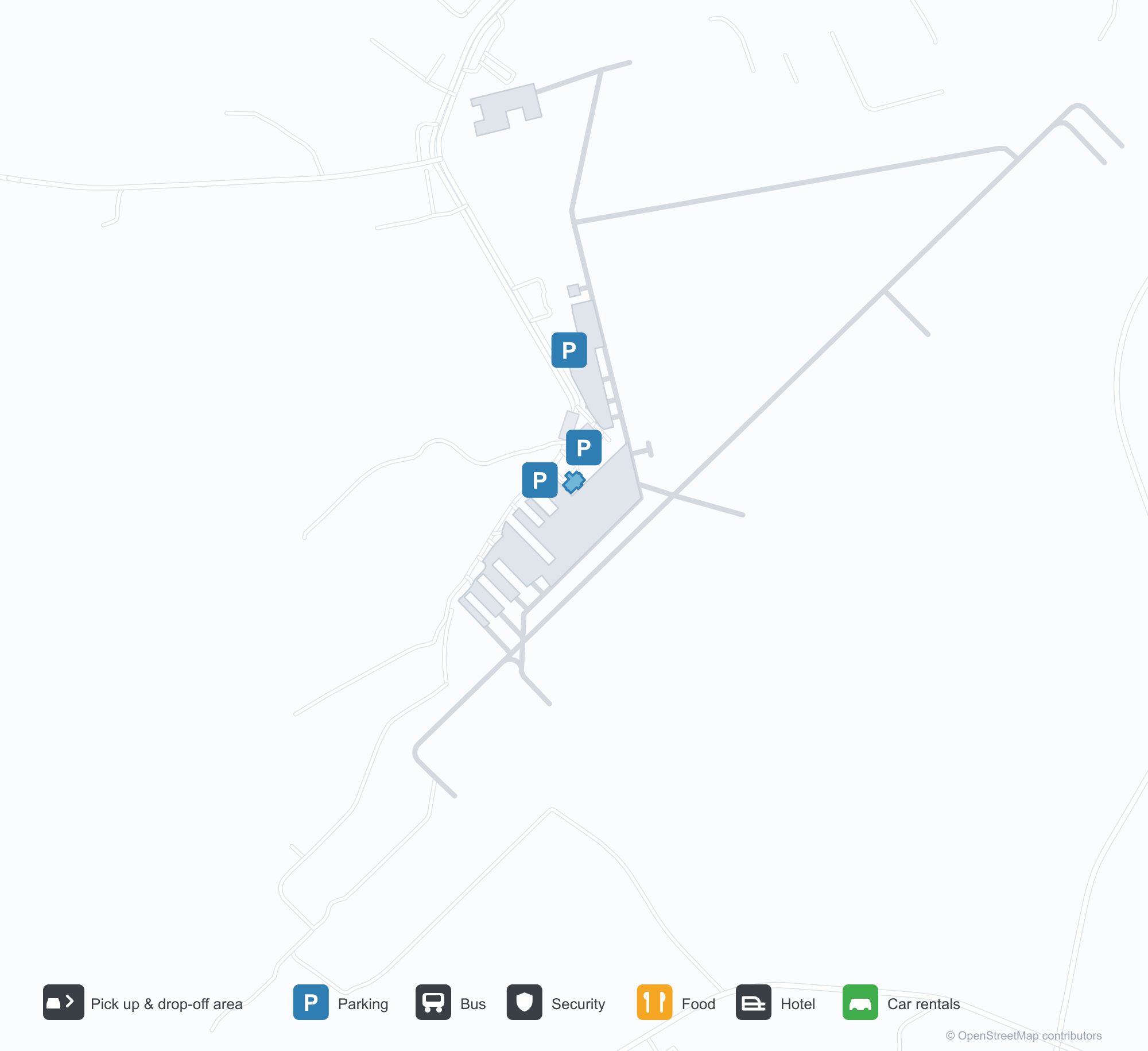
Tải bản đồ sân bayTải xuống
Ảnh sân bayẢnh sân bay
Ảnh thực tế của sân bay này, mỗi ảnh đều ghi nguồn từ trang web công khai nơi tìm thấy ảnh; bản quyền thuộc về nhiếp ảnh gia gốc. Nhấp vào ảnh để phóng to, hoặc nhấp vào dòng ghi nguồn để mở trang nguồn.
Ảnh vệ tinh: hai đường băng cắt nhau giữa vùng nông thôn xanh, nhà ga và sân đỗ gần điểm giao.
Dưới bầu trời xanh trong, một nhà ga nhỏ ốp đá với mái kim loại xanh và cổng vào bằng gỗ có lá cờ Hoa Kỳ bay bên cửa.
Từ trên không, hai đường băng cắt nhau giữa rừng và đồng ruộng, vài tòa nhà trắng rải rác gần các đầu đường băng.
Một biển hiệu lối vào ốp đá ghi lời chào mừng đến Sân bay Khu vực Anderson bằng chữ trắng lớn, phía sau đỗ một xe bán tải.
Nhìn qua hàng rào lưới, một biển vàng bên đường băng đánh dấu 17 và 35, phía xa có một tháp trắng nhỏ và một máy bay đỏ.
Một sân chơi bên sân bay vẽ các vạch đường băng trên mặt sân xanh, với cầu trượt và khung leo dưới mái che xanh.
Thông tin & chi tiết sân bayChi tiết sân bay
Bản đồ tương tác — vị trí Anderson Regional AirportBản đồ tương tác
Xem sân bay này trên các dịch vụ bản đồ khác:
Anderson Regional Airport (AND): Two Runways and a Blank Route TableHướng dẫn sân bay
From above, two runways cross in green countryside, with the terminal and apron near the intersection and woods, fields and town around them. The field serves Anderson, South Carolina, at an elevation of about 238 m, with runways of 1,829 m and 1,523 m; the 2014 snapshot records no scheduled routes, and OurAirports lists it for general aviation and charters.
Satellite view
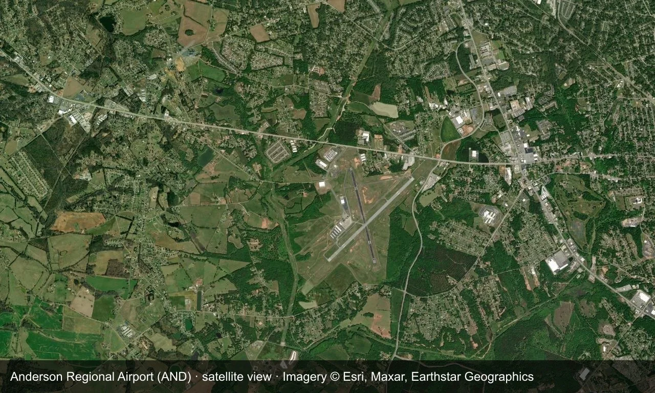
Satellite view: two runways cross in green countryside, with the terminal and apron near the intersection.
The satellite image comes from Esri World Imagery (© Esri, Maxar, Earthstar Geographics); the field and attribution are labelled in the image. This is a satellite view, not a ground-level photograph.
Airport at a glance
| Item | Detail |
|---|---|
| IATA / ICAO | AND / KAND |
| Role | Medium-sized airport |
| Elevation | about 238 m |
| Coordinates | 34.4946, -82.7094 |
| Runways | 2, longest 1,829 m |
| Non-stop destinations | 0 in the 2014 snapshot |
Runways
| Runway | Length | Width | Surface |
|---|---|---|---|
| 05/23 | 1,829 m | 45 m | asphalt |
| 17/35 | 1,523 m | 45 m | asphalt |
2 runways, the longest 1,829 m.
Non-stop routes
The route dataset carries no scheduled non-stop services for this airport. Regional schedules change often — confirm with the airline or airport before booking.
Nearby airports to compare
If the fares are close, these are the nearest airports of the same class (medium-sized airport) — straight-line distance, with their own non-stop counts from the same dataset:
| Airport | Distance | Non-stop destinations |
|---|---|---|
| Athens Ben Epps Airport (AHN) | ~83 km | — |
| Asheville Regional Airport (AVL) | ~106 km | 8 |
Before you fly
- No scheduled routes are recorded; contact the airport or operator directly about movements and fuel before planning a trip.
- For scheduled passenger service, compare nearby airports with the search box before arranging ground transport.
About the data
Runways, elevation and coordinates come from OurAirports open data. Routes and carriers come from the June 2014 OpenFlights snapshot and include codeshares and interline services; they indicate network shape and scale, not current schedules.
History
The field has grown steadily since opening — one runway gained 300 m in 2007, clearing the way for larger regional jets. It has no scheduled airline service and no control tower, yet ranks among the busiest airports in upstate South Carolina.
Source: Anderson Rgnl Airport.
Bình luận của độc giảThảo luận
Hoan nghênh mọi câu hỏi, báo cáo chuyến đi và góp ý chỉnh sửa. Bình luận được công khai.
Đang tải…
Đang tải bình luận…