
Anderson Regional Airport
 Anderson · สหรัฐอเมริกา· Anderson Regional Airport
Anderson Regional Airport (IATA: AND, ICAO KAND) เป็นสนามบินขนาดกลางที่ให้บริการAnderson, สหรัฐอเมริกา
Anderson Regional Airport is a medium-sized airport, at an elevation of about 782 ft. This page gathers its location map, airport codes and travel information.
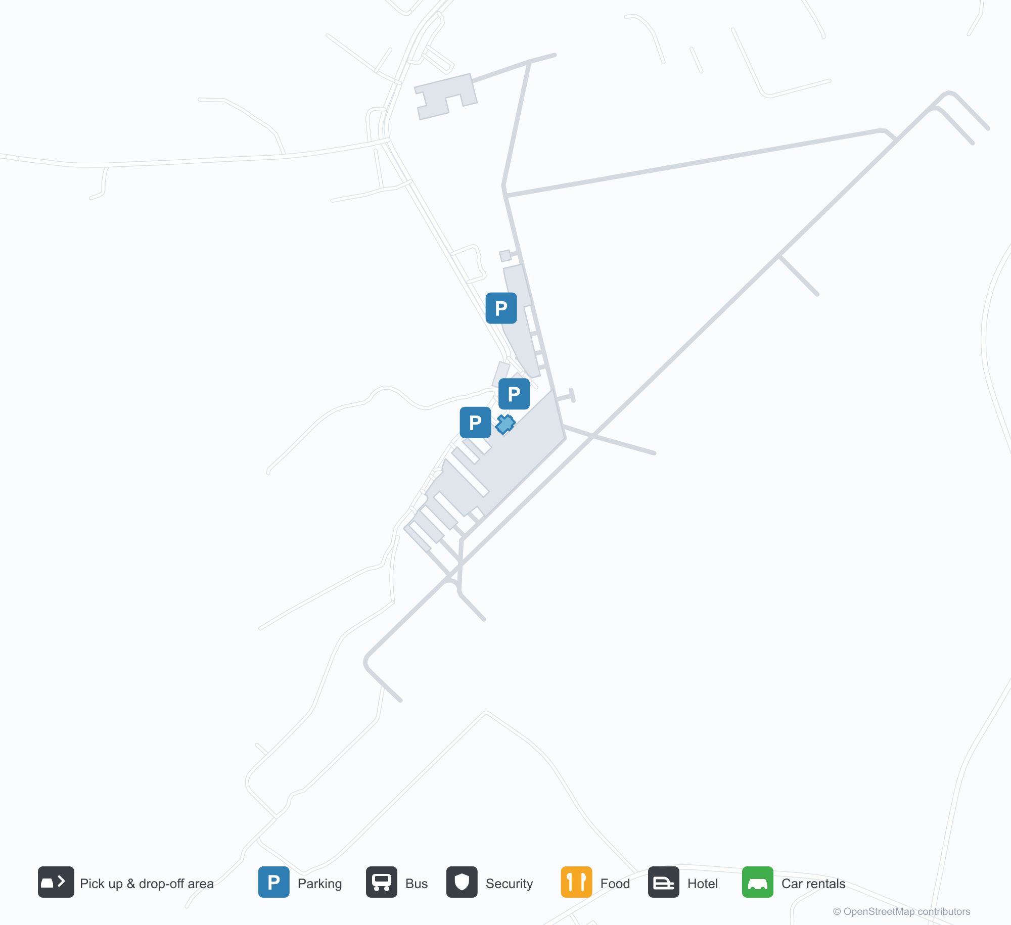
ดาวน์โหลดแผนที่สนามบินดาวน์โหลด
ภาพสนามบินภาพสนามบิน
ภาพจริงของสนามบินแห่งนี้ พร้อมเครดิตของหน้าเว็บสาธารณะที่พบภาพ; ลิขสิทธิ์ยังเป็นของผู้ถ่ายภาพต้นฉบับ คลิกที่ภาพเพื่อขยาย หรือคลิกบรรทัดเครดิตเพื่อเปิดหน้าแหล่งที่มา
ภาพถ่ายดาวเทียม: ทางวิ่งสองเส้นตัดกันในชนบทสีเขียว โดยมีอาคารผู้โดยสารและลานจอดอยู่ใกล้จุดตัด
ภายใต้ท้องฟ้าสีฟ้าใส อาคารผู้โดยสารเล็ก ๆ ที่กรุหิน หลังคาโลหะสีเขียว และเฉลียงทางเข้าทำจากไม้ มีธงอเมริกันโบกอยู่ข้างประตู
มองจากอากาศ ทางวิ่งสองเส้นตัดกันระหว่างป่าไม้และพื้นที่เกษตรกรรม โดยมีอาคารสีขาวไม่กี่หลังกระจัดกระจายใกล้ปลายทางวิ่ง
ป้ายทางเข้าฐานหินเขียนคำต้อนรับสู่ท่าอากาศยานภูมิภาคแอนเดอร์สันด้วยตัวอักษรสีขาวขนาดใหญ่ โดยมีรถกระบะจอดอยู่ด้านหลัง
มองข้ามรั้วลวดตาข่าย ป้ายสีเหลืองข้างทางวิ่งระบุ 17 และ 35 พร้อมหอสีขาวเล็ก ๆ และอากาศยานสีแดงอยู่ไกลออกไป
สนามเด็กเล่นข้างสนามบินทาสีเครื่องหมายทางวิ่งบนพื้นสีฟ้า พร้อมสไลเดอร์และโครงปีนป่ายใต้หลังคากันแดดสีเขียว
ข้อมูลและรายละเอียดสนามบินรายละเอียดสนามบิน
แผนที่อินเทอร์แอกทีฟ — ตำแหน่ง Anderson Regional Airportแผนที่อินเทอร์แอกทีฟ
ดูสนามบินนี้บนบริการแผนที่อื่น:
Anderson Regional Airport (AND): Two Runways and a Blank Route Tableคู่มือสนามบิน
From above, two runways cross in green countryside, with the terminal and apron near the intersection and woods, fields and town around them. The field serves Anderson, South Carolina, at an elevation of about 238 m, with runways of 1,829 m and 1,523 m; the 2014 snapshot records no scheduled routes, and OurAirports lists it for general aviation and charters.
Satellite view
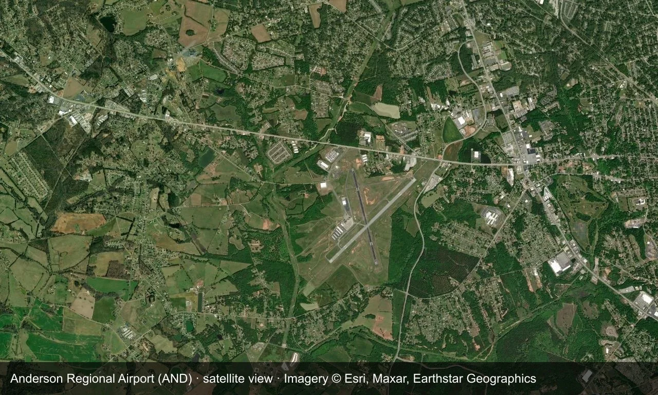
Satellite view: two runways cross in green countryside, with the terminal and apron near the intersection.
The satellite image comes from Esri World Imagery (© Esri, Maxar, Earthstar Geographics); the field and attribution are labelled in the image. This is a satellite view, not a ground-level photograph.
Airport at a glance
| Item | Detail |
|---|---|
| IATA / ICAO | AND / KAND |
| Role | Medium-sized airport |
| Elevation | about 238 m |
| Coordinates | 34.4946, -82.7094 |
| Runways | 2, longest 1,829 m |
| Non-stop destinations | 0 in the 2014 snapshot |
Runways
| Runway | Length | Width | Surface |
|---|---|---|---|
| 05/23 | 1,829 m | 45 m | asphalt |
| 17/35 | 1,523 m | 45 m | asphalt |
2 runways, the longest 1,829 m.
Non-stop routes
The route dataset carries no scheduled non-stop services for this airport. Regional schedules change often — confirm with the airline or airport before booking.
Nearby airports to compare
If the fares are close, these are the nearest airports of the same class (medium-sized airport) — straight-line distance, with their own non-stop counts from the same dataset:
| Airport | Distance | Non-stop destinations |
|---|---|---|
| Athens Ben Epps Airport (AHN) | ~83 km | — |
| Asheville Regional Airport (AVL) | ~106 km | 8 |
Before you fly
- No scheduled routes are recorded; contact the airport or operator directly about movements and fuel before planning a trip.
- For scheduled passenger service, compare nearby airports with the search box before arranging ground transport.
About the data
Runways, elevation and coordinates come from OurAirports open data. Routes and carriers come from the June 2014 OpenFlights snapshot and include codeshares and interline services; they indicate network shape and scale, not current schedules.
History
The field has grown steadily since opening — one runway gained 300 m in 2007, clearing the way for larger regional jets. It has no scheduled airline service and no control tower, yet ranks among the busiest airports in upstate South Carolina.
Source: Anderson Rgnl Airport.
ความคิดเห็นจากผู้อ่านการสนทนา
ยินดีรับคำถาม รายงานการเดินทาง และการแก้ไข ความคิดเห็นเป็นสาธารณะ
กำลังโหลด…
กำลังโหลดความคิดเห็น…