
Anderson Regional Airport
 Anderson · アメリカ合衆国· Anderson Regional Airport
Anderson Regional Airport(IATA: AND、ICAO: KAND)はAnderson、アメリカ合衆国にある中型空港です。
Anderson Regional Airport is a medium-sized airport, at an elevation of about 782 ft. This page gathers its location map, airport codes and travel information.
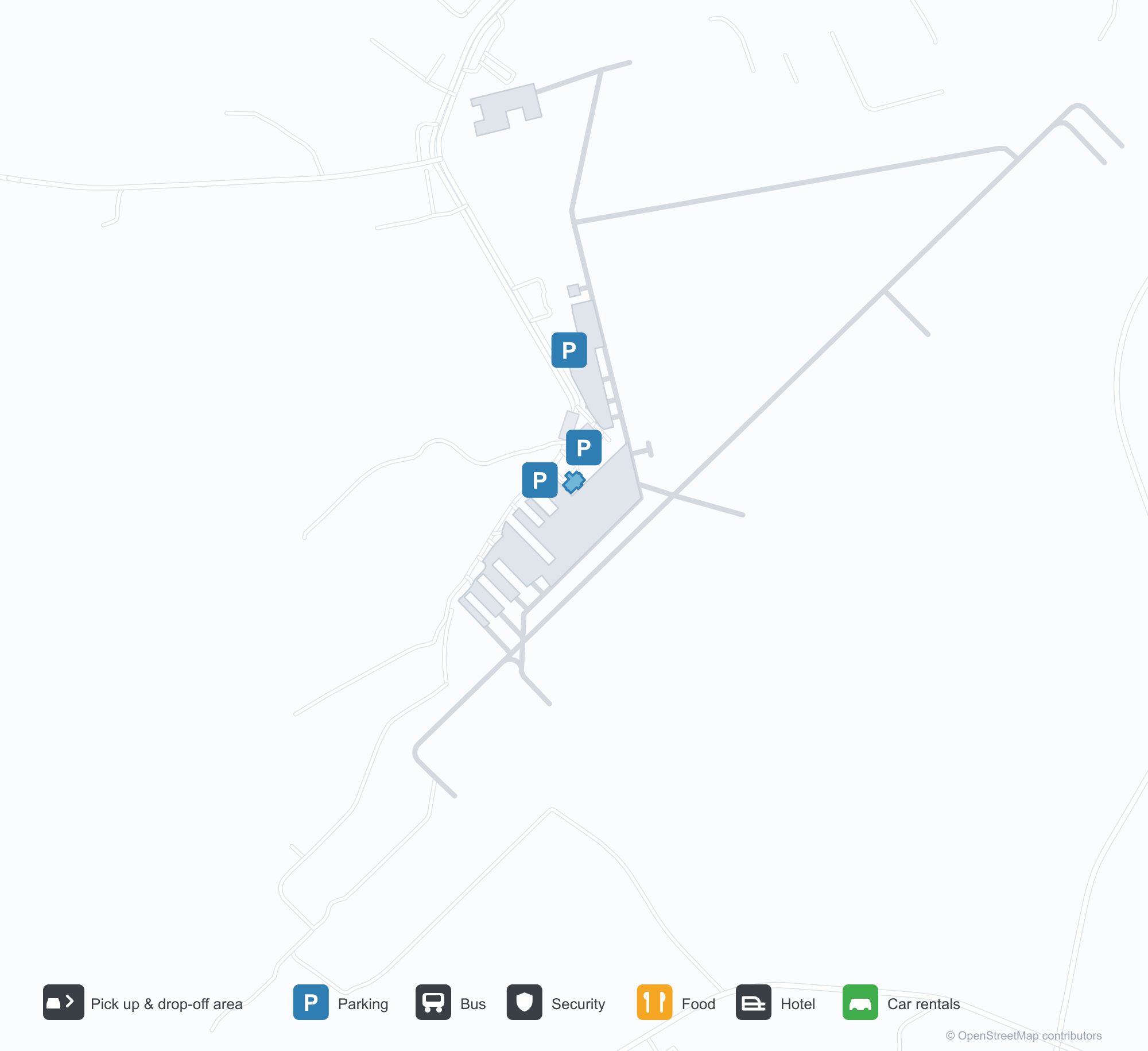
空港マップをダウンロードダウンロード
空港写真空港写真
この空港の実際の写真です。いずれも公開ウェブページを出典として明記しており、著作権は撮影者に帰属します。写真をクリックすると拡大表示され、クレジットをクリックすると元のページが開きます。
衛星画像:緑の田園地帯で2本の滑走路が交差し、交差部の近くにターミナルとエプロン。
澄んだ青空の下、緑の金属屋根と木造の入口ポルチコを持つ小さな石張りターミナル、扉のそばには米国旗がはためく。
空から見ると、森林と農地の間で2本の滑走路が交差し、滑走路の端近くに白い建物が点在する。
石の台座の入口看板に大きな白い文字でアンダーソン地域空港への歓迎が記され、背後にピックアップトラックが停まる。
金網フェンス越しに、滑走路脇の黄色い看板が17と35を示し、その先に小さな白い塔と赤い航空機。
飛行場脇の遊び場は青い地面に滑走路標示を描き、緑の日よけキャノピーの下に滑り台と登り棒が並ぶ。
空港情報と詳細空港の詳細
インタラクティブマップ — Anderson Regional Airportの位置インタラクティブマップ
他の地図サービスでこの空港を見る:
Anderson Regional Airport (AND): Two Runways and a Blank Route Table空港ガイド
From above, two runways cross in green countryside, with the terminal and apron near the intersection and woods, fields and town around them. The field serves Anderson, South Carolina, at an elevation of about 238 m, with runways of 1,829 m and 1,523 m; the 2014 snapshot records no scheduled routes, and OurAirports lists it for general aviation and charters.
Satellite view
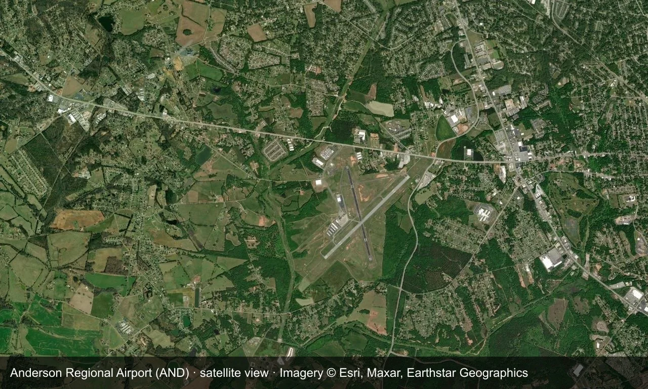
Satellite view: two runways cross in green countryside, with the terminal and apron near the intersection.
The satellite image comes from Esri World Imagery (© Esri, Maxar, Earthstar Geographics); the field and attribution are labelled in the image. This is a satellite view, not a ground-level photograph.
Airport at a glance
| Item | Detail |
|---|---|
| IATA / ICAO | AND / KAND |
| Role | Medium-sized airport |
| Elevation | about 238 m |
| Coordinates | 34.4946, -82.7094 |
| Runways | 2, longest 1,829 m |
| Non-stop destinations | 0 in the 2014 snapshot |
Runways
| Runway | Length | Width | Surface |
|---|---|---|---|
| 05/23 | 1,829 m | 45 m | asphalt |
| 17/35 | 1,523 m | 45 m | asphalt |
2 runways, the longest 1,829 m.
Non-stop routes
The route dataset carries no scheduled non-stop services for this airport. Regional schedules change often — confirm with the airline or airport before booking.
Nearby airports to compare
If the fares are close, these are the nearest airports of the same class (medium-sized airport) — straight-line distance, with their own non-stop counts from the same dataset:
| Airport | Distance | Non-stop destinations |
|---|---|---|
| Athens Ben Epps Airport (AHN) | ~83 km | — |
| Asheville Regional Airport (AVL) | ~106 km | 8 |
Before you fly
- No scheduled routes are recorded; contact the airport or operator directly about movements and fuel before planning a trip.
- For scheduled passenger service, compare nearby airports with the search box before arranging ground transport.
About the data
Runways, elevation and coordinates come from OurAirports open data. Routes and carriers come from the June 2014 OpenFlights snapshot and include codeshares and interline services; they indicate network shape and scale, not current schedules.
History
The field has grown steadily since opening — one runway gained 300 m in 2007, clearing the way for larger regional jets. It has no scheduled airline service and no control tower, yet ranks among the busiest airports in upstate South Carolina.
Source: Anderson Rgnl Airport.
読者コメントディスカッション
質問、旅行記、訂正など、お気軽にお寄せください。コメントは公開されます。
読み込み中…
コメントを読み込み中…