
Alamogordo White Sands Regional Airport
 Alamogordo · สหรัฐอเมริกา· Alamogordo White Sands Regional Airport
Alamogordo White Sands Regional Airport (IATA: ALM, ICAO KALM) เป็นสนามบินขนาดกลางที่ให้บริการAlamogordo, สหรัฐอเมริกา
Alamogordo White Sands Regional Airport is a medium-sized airport, at an elevation of about 4,200 ft. This page gathers its location map, airport codes and travel information.
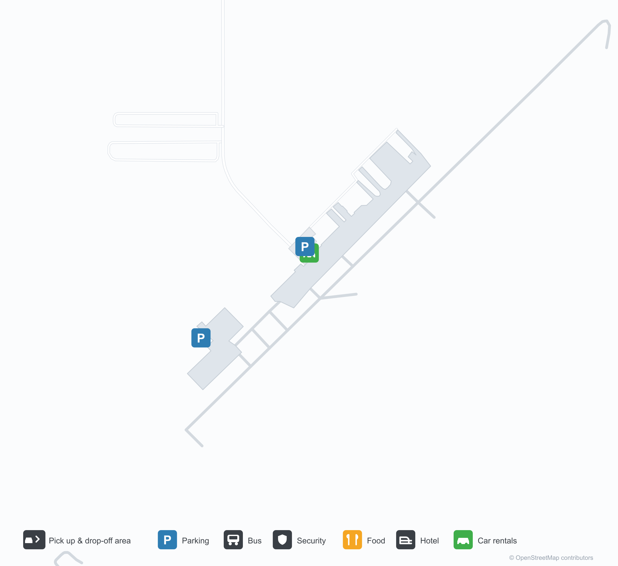
ดาวน์โหลดแผนที่สนามบินดาวน์โหลด
ภาพสนามบินภาพสนามบิน
ภาพจริงของสนามบินแห่งนี้ พร้อมเครดิตของหน้าเว็บสาธารณะที่พบภาพ; ลิขสิทธิ์ยังเป็นของผู้ถ่ายภาพต้นฉบับ คลิกที่ภาพเพื่อขยาย หรือคลิกบรรทัดเครดิตเพื่อเปิดหน้าแหล่งที่มา
เครื่องบิน Lockheed P-2H Neptune (N14447) ที่อนุรักษ์ไว้ที่ท่าอากาศยานภูมิภาคแอลาโมกอร์โด-ไวต์แซนส์ โดยมีโรงเก็บอากาศยานและลานปูพื้นอยู่ด้านหลัง (ภาพ: silverhawkauthor.com)
ทางเข้าหลักของท่าอากาศยานภูมิภาคแอลาโมกอร์โด-ไวต์แซนส์มีชื่อสนามบินอยู่เหนือประตู เปิดออกสู่ทางเดินคอนกรีตภายใต้ท้องฟ้าสีฟ้าใส
ภาพถ่ายทางอากาศของทางวิ่ง 21 ที่ท่าอากาศยานภูมิภาคแอลาโมกอร์โด-ไวต์แซนส์ มีไม้พุ่มทะเลทรายทั้งสองด้านและแถบทรายสีอ่อนตามขอบฟ้า
เครื่องบินเบาสามลำจอดอยู่บนลานจอดที่แตกร้าวของแอลาโมกอร์โด มีโรงเก็บโลหะอยู่ทางซ้ายและเมฆคิวมูลัสสูงตระหง่านเหนือสันเขาไกล ๆ
ภาพจากโดรนของเครื่องหมายหัวทางวิ่ง 4 ของสนามบินแอลาโมกอร์โด โดยมีแถบข้อมูลการบินพิมพ์อยู่ตามขอบล่าง
หน้าอาคารผู้โดยสารของท่าอากาศยานภูมิภาคแอลาโมกอร์โด-ไวต์แซนส์ ธง Stars and Stripes และธงรัฐนิวเม็กซิโกโบกอยู่บนเสาเหนือต้นไม้ที่ไร้ใบ
ข้อมูลและรายละเอียดสนามบินรายละเอียดสนามบิน
แผนที่อินเทอร์แอกทีฟ — ตำแหน่ง Alamogordo White Sands Regional Airportแผนที่อินเทอร์แอกทีฟ
ดูสนามบินนี้บนบริการแผนที่อื่น:
Alamogordo Airport (ALM): A P-2H Neptune Beside White Sandsคู่มือสนามบิน
A Lockheed P-2H Neptune preserved at Alamogordo–White Sands Regional Airport stands before the hangars, registration N14447, with the hangars and apron behind it. The field serves Alamogordo, New Mexico, at an elevation of about 1,280 m, with a 2,806 m runway; the 2014 snapshot records no scheduled routes, and OurAirports lists it for general aviation and charters.
Airport photos

A Lockheed P-2H Neptune (N14447) preserved at Alamogordo-White Sands Regional Airport, the field's hangars and tarmac behind it (photo: silverhawkauthor.com).
The photos come from public web sources and remain the copyright of their photographers; full credits and source links sit in the photo gallery on this page.
Airport at a glance
| Item | Detail |
|---|---|
| IATA / ICAO | ALM / KALM |
| Role | Medium-sized airport |
| Elevation | about 1,280 m |
| Coordinates | 32.8378, -105.9931 |
| Runways | 1, 2,806 m |
| Non-stop destinations | 0 in the 2014 snapshot |
Runways
| Runway | Length | Width | Surface |
|---|---|---|---|
| 04/22 | 2,806 m | 46 m | asphalt |
1 runway, the longest 2,806 m.
Non-stop routes
The route dataset carries no scheduled non-stop services for this airport. Regional schedules change often — confirm with the airline or airport before booking.
Nearby airports to compare
If the fares are close, these are the nearest airports of the same class (medium-sized airport) — straight-line distance, with their own non-stop counts from the same dataset:
| Airport | Distance | Non-stop destinations |
|---|---|---|
| Abilene Regional Airport (ABI) | ~593 km | 1 |
| Altus Air Force Base (LTS) | ~654 km | — |
Before you fly
- General aviation, charters and aviation displays dominate; confirm any scheduled service with the operator.
- At about 1,280 m, summer heat reduces aircraft performance, so light aircraft should check payload before take-off.
About the data
Runways, elevation and coordinates come from OurAirports open data. Routes and carriers come from the June 2014 OpenFlights snapshot and include codeshares and interline services; they indicate network shape and scale, not current schedules.
History
Formerly Alamogordo Municipal Airport, the city-owned field keeps scheduled service alive through the Essential Air Service subsidy, flown by New Mexico Airlines to El Paso and Albuquerque. In November 2008 it installed an 8 kW solar array with a $100,000 state grant; its second runway, 16/34, is dirt.
Source: Alamogordo-white Sands Rgnl Airport.
ความคิดเห็นจากผู้อ่านการสนทนา
ยินดีรับคำถาม รายงานการเดินทาง และการแก้ไข ความคิดเห็นเป็นสาธารณะ
กำลังโหลด…
กำลังโหลดความคิดเห็น…