
Alamogordo White Sands Regional Airport
 Alamogordo · アメリカ合衆国· Alamogordo White Sands Regional Airport
Alamogordo White Sands Regional Airport(IATA: ALM、ICAO: KALM)はAlamogordo、アメリカ合衆国にある中型空港です。
Alamogordo White Sands Regional Airport is a medium-sized airport, at an elevation of about 4,200 ft. This page gathers its location map, airport codes and travel information.
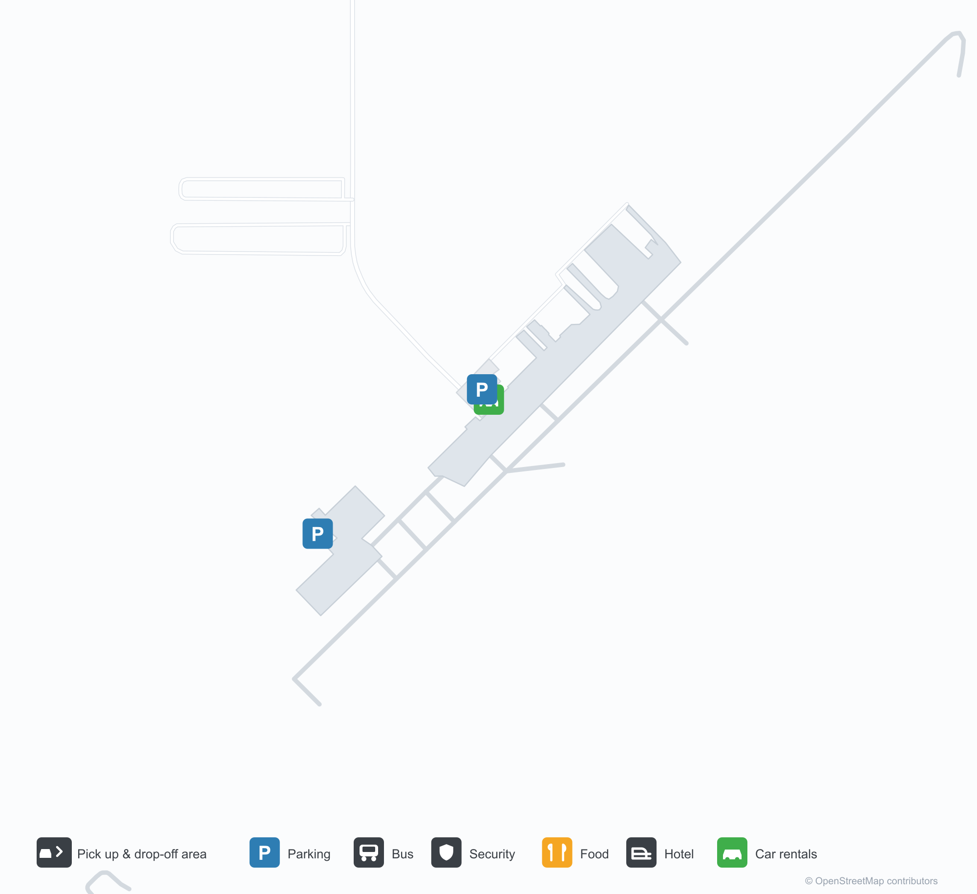
空港マップをダウンロードダウンロード
空港写真空港写真
この空港の実際の写真です。いずれも公開ウェブページを出典として明記しており、著作権は撮影者に帰属します。写真をクリックすると拡大表示され、クレジットをクリックすると元のページが開きます。
アラモゴルド=ホワイトサンズ地域空港に保存されたロッキードP-2Hネプチューン(N14447)、背後に飛行場の格納庫と舗装(写真:silverhawkauthor.com)。
アラモゴルド=ホワイトサンズ地域空港の正面入口、扉の上に空港名。澄んだ青空の下、コンクリートの歩道へ開く。
アラモゴルド=ホワイトサンズ地域空港の滑走路21の空撮。両側に砂漠の低木、地平線沿いに淡い砂の帯。
アラモゴルドのひび割れたエプロンに軽飛行機3機が停まり、左に金属製格納庫、遠い尾根の上には積乱雲がそびえる。
ドローンで撮影したアラモゴルド空港の滑走路4の進入端標示。下端には飛行データの帯が印刷されている。
アラモゴルド=ホワイトサンズ地域空港のターミナル前、裸の木々の上に星条旗とニューメキシコ州旗が旗竿からはためく。
空港情報と詳細空港の詳細
インタラクティブマップ — Alamogordo White Sands Regional Airportの位置インタラクティブマップ
他の地図サービスでこの空港を見る:
Alamogordo Airport (ALM): A P-2H Neptune Beside White Sands空港ガイド
A Lockheed P-2H Neptune preserved at Alamogordo–White Sands Regional Airport stands before the hangars, registration N14447, with the hangars and apron behind it. The field serves Alamogordo, New Mexico, at an elevation of about 1,280 m, with a 2,806 m runway; the 2014 snapshot records no scheduled routes, and OurAirports lists it for general aviation and charters.
Airport photos

A Lockheed P-2H Neptune (N14447) preserved at Alamogordo-White Sands Regional Airport, the field's hangars and tarmac behind it (photo: silverhawkauthor.com).
The photos come from public web sources and remain the copyright of their photographers; full credits and source links sit in the photo gallery on this page.
Airport at a glance
| Item | Detail |
|---|---|
| IATA / ICAO | ALM / KALM |
| Role | Medium-sized airport |
| Elevation | about 1,280 m |
| Coordinates | 32.8378, -105.9931 |
| Runways | 1, 2,806 m |
| Non-stop destinations | 0 in the 2014 snapshot |
Runways
| Runway | Length | Width | Surface |
|---|---|---|---|
| 04/22 | 2,806 m | 46 m | asphalt |
1 runway, the longest 2,806 m.
Non-stop routes
The route dataset carries no scheduled non-stop services for this airport. Regional schedules change often — confirm with the airline or airport before booking.
Nearby airports to compare
If the fares are close, these are the nearest airports of the same class (medium-sized airport) — straight-line distance, with their own non-stop counts from the same dataset:
| Airport | Distance | Non-stop destinations |
|---|---|---|
| Abilene Regional Airport (ABI) | ~593 km | 1 |
| Altus Air Force Base (LTS) | ~654 km | — |
Before you fly
- General aviation, charters and aviation displays dominate; confirm any scheduled service with the operator.
- At about 1,280 m, summer heat reduces aircraft performance, so light aircraft should check payload before take-off.
About the data
Runways, elevation and coordinates come from OurAirports open data. Routes and carriers come from the June 2014 OpenFlights snapshot and include codeshares and interline services; they indicate network shape and scale, not current schedules.
History
Formerly Alamogordo Municipal Airport, the city-owned field keeps scheduled service alive through the Essential Air Service subsidy, flown by New Mexico Airlines to El Paso and Albuquerque. In November 2008 it installed an 8 kW solar array with a $100,000 state grant; its second runway, 16/34, is dirt.
Source: Alamogordo-white Sands Rgnl Airport.
読者コメントディスカッション
質問、旅行記、訂正など、お気軽にお寄せください。コメントは公開されます。
読み込み中…
コメントを読み込み中…