
Alamogordo White Sands Regional Airport
 Alamogordo · Amerika Serikat· Alamogordo White Sands Regional Airport
Alamogordo White Sands Regional Airport (IATA: ALM, ICAO KALM) adalah bandara sedang yang melayani Alamogordo, Amerika Serikat.
Alamogordo White Sands Regional Airport is a medium-sized airport, at an elevation of about 4,200 ft. This page gathers its location map, airport codes and travel information.
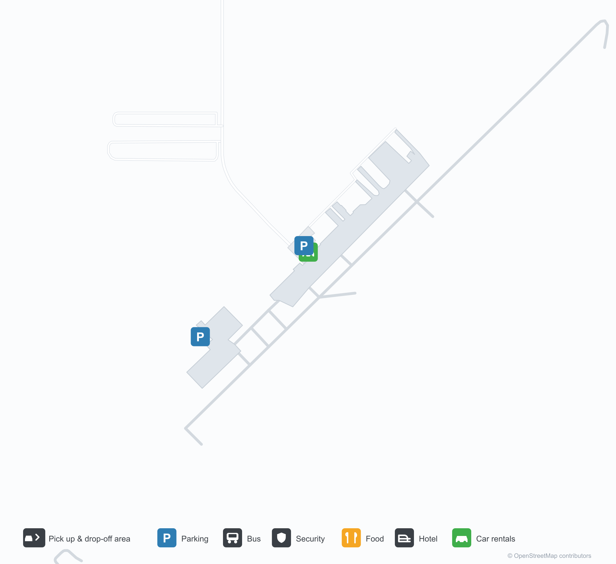
Unduh Peta BandaraUnduhan
Foto bandaraFoto Bandara
Foto asli bandara ini, masing-masing dikreditkan ke halaman web publik tempat foto ditemukan; hak cipta tetap milik fotografer aslinya. Klik foto untuk memperbesar, atau baris kredit untuk membuka halaman sumbernya.
Lockheed P-2H Neptune (N14447) yang dilestarikan di Bandara Regional Alamogordo-White Sands, dengan hanggar dan apron lapangan di belakangnya (foto: silverhawkauthor.com).
Pintu masuk utama Bandara Regional Alamogordo-White Sands memuat nama lapangan di atas pintunya, membuka ke jalur beton di bawah langit biru cerah.
Pemandangan udara landasan pacu 21 di Bandara Regional Alamogordo-White Sands, semak gurun di kedua sisi dan pita pasir pucat di sepanjang cakrawala.
Tiga pesawat ringan terparkir di apron retak di Alamogordo, hanggar logam di sebelah kiri dan awan kumulus menjulang di atas pegunungan jauh.
Pemandangan drone atas marka ambang landasan pacu 4 Bandara Alamogordo, dengan pita data penerbangan tercetak di sepanjang tepi bawah.
Di depan terminal Bandara Regional Alamogordo-White Sands, bendera Amerika Serikat dan bendera negara bagian New Mexico berkibar di tiang di atas pepohonan gundul.
Informasi & detail bandaraDetail Bandara
Peta interaktif — lokasi Alamogordo White Sands Regional AirportPeta Interaktif
Lihat bandara ini di layanan peta lain:
Alamogordo Airport (ALM): A P-2H Neptune Beside White SandsPanduan Bandara
A Lockheed P-2H Neptune preserved at Alamogordo–White Sands Regional Airport stands before the hangars, registration N14447, with the hangars and apron behind it. The field serves Alamogordo, New Mexico, at an elevation of about 1,280 m, with a 2,806 m runway; the 2014 snapshot records no scheduled routes, and OurAirports lists it for general aviation and charters.
Airport photos

A Lockheed P-2H Neptune (N14447) preserved at Alamogordo-White Sands Regional Airport, the field's hangars and tarmac behind it (photo: silverhawkauthor.com).
The photos come from public web sources and remain the copyright of their photographers; full credits and source links sit in the photo gallery on this page.
Airport at a glance
| Item | Detail |
|---|---|
| IATA / ICAO | ALM / KALM |
| Role | Medium-sized airport |
| Elevation | about 1,280 m |
| Coordinates | 32.8378, -105.9931 |
| Runways | 1, 2,806 m |
| Non-stop destinations | 0 in the 2014 snapshot |
Runways
| Runway | Length | Width | Surface |
|---|---|---|---|
| 04/22 | 2,806 m | 46 m | asphalt |
1 runway, the longest 2,806 m.
Non-stop routes
The route dataset carries no scheduled non-stop services for this airport. Regional schedules change often — confirm with the airline or airport before booking.
Nearby airports to compare
If the fares are close, these are the nearest airports of the same class (medium-sized airport) — straight-line distance, with their own non-stop counts from the same dataset:
| Airport | Distance | Non-stop destinations |
|---|---|---|
| Abilene Regional Airport (ABI) | ~593 km | 1 |
| Altus Air Force Base (LTS) | ~654 km | — |
Before you fly
- General aviation, charters and aviation displays dominate; confirm any scheduled service with the operator.
- At about 1,280 m, summer heat reduces aircraft performance, so light aircraft should check payload before take-off.
About the data
Runways, elevation and coordinates come from OurAirports open data. Routes and carriers come from the June 2014 OpenFlights snapshot and include codeshares and interline services; they indicate network shape and scale, not current schedules.
History
Formerly Alamogordo Municipal Airport, the city-owned field keeps scheduled service alive through the Essential Air Service subsidy, flown by New Mexico Airlines to El Paso and Albuquerque. In November 2008 it installed an 8 kW solar array with a $100,000 state grant; its second runway, 16/34, is dirt.
Source: Alamogordo-white Sands Rgnl Airport.
Komentar pembacaDiskusi
Pertanyaan, laporan perjalanan, dan koreksi sangat kami harapkan. Komentar bersifat publik.
Memuat…
Memuat komentar…