
Alamogordo White Sands Regional Airport
 Alamogordo · Estados Unidos· Alamogordo White Sands Regional Airport
Alamogordo White Sands Regional Airport (IATA: ALM, OACI KALM) es un aeropuerto mediano que da servicio a Alamogordo, Estados Unidos.
Alamogordo White Sands Regional Airport is a medium-sized airport, at an elevation of about 4,200 ft. This page gathers its location map, airport codes and travel information.
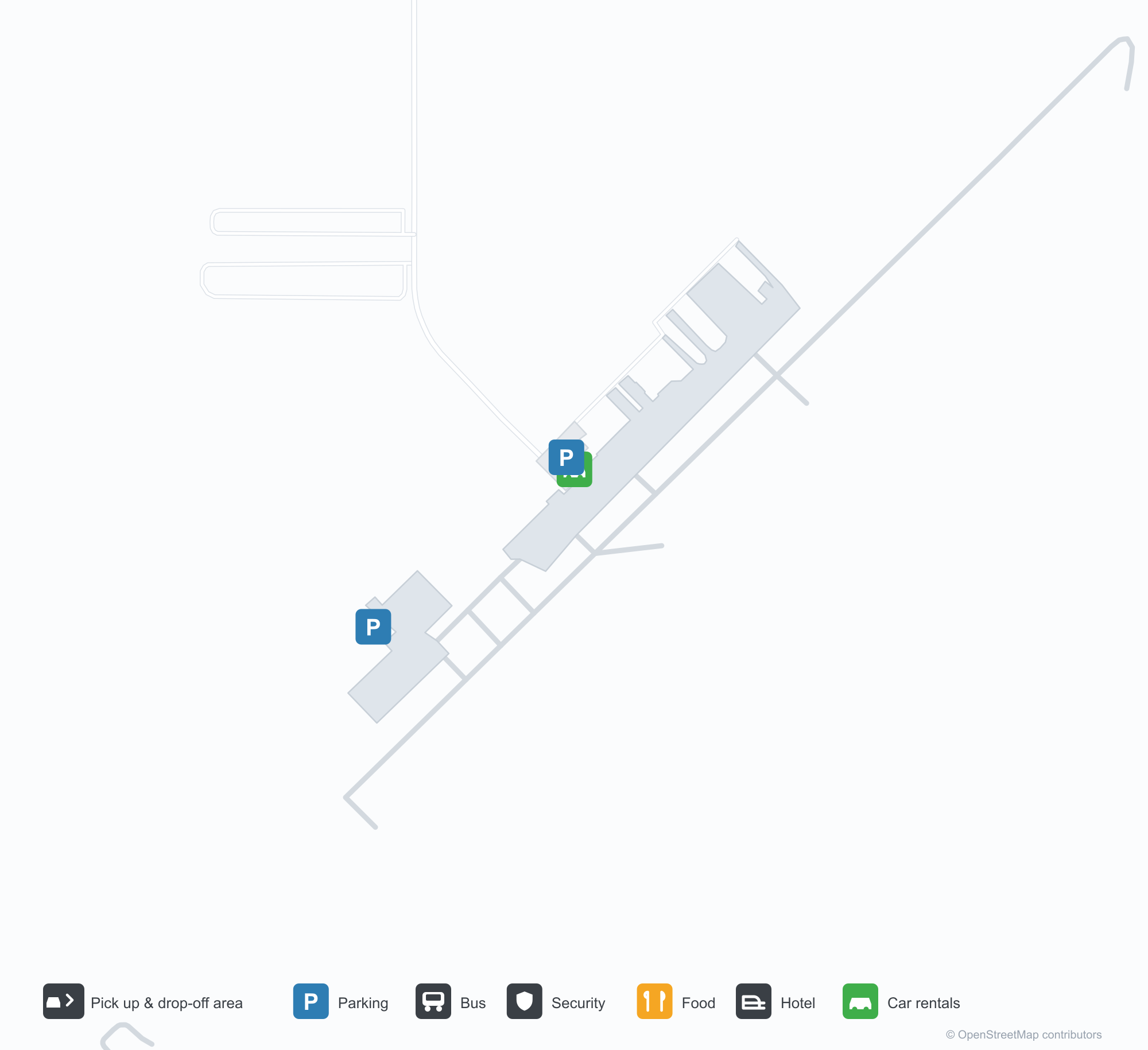
Descargar mapas de aeropuertosDescargas
Fotos del aeropuertoFotos del aeropuerto
Fotos reales de este aeropuerto, cada una con la referencia de la página web pública donde se encontró; los derechos de autor siguen siendo de los fotógrafos originales. Haz clic en una foto para ampliarla o en la línea de crédito para abrir su página de origen.
Un Lockheed P-2H Neptune (N14447) conservado en el Aeropuerto Regional de Alamogordo-White Sands, con los hangares y la plataforma del aeródromo detrás (foto: silverhawkauthor.com).
La entrada principal del Aeropuerto Regional de Alamogordo-White Sands luce el nombre del aeródromo sobre sus puertas, que dan a una pasarela de hormigón bajo un cielo azul despejado.
Vista aérea de la pista 21 del Aeropuerto Regional de Alamogordo-White Sands, con matorral desértico a ambos lados y una franja pálida de arena en el horizonte.
Tres avionetas están aparcadas en la plataforma agrietada de Alamogordo, con un hangar metálico a la izquierda y imponentes cúmulos sobre la cresta lejana.
Vista de dron de las marcas de umbral de la pista 4 del aeropuerto de Alamogordo, con una franja de datos de vuelo impresa en el borde inferior.
Ante la terminal del Aeropuerto Regional de Alamogordo-White Sands, la bandera de las barras y estrellas y la del estado de Nuevo México ondean en un mástil sobre árboles desnudos.
Información y datos del aeropuertoDatos del aeropuerto
Mapa interactivo — ubicación de Alamogordo White Sands Regional AirportMapa interactivo
Consulta este aeropuerto en otros servicios de mapas:
Alamogordo Airport (ALM): A P-2H Neptune Beside White SandsGuía del aeropuerto
A Lockheed P-2H Neptune preserved at Alamogordo–White Sands Regional Airport stands before the hangars, registration N14447, with the hangars and apron behind it. The field serves Alamogordo, New Mexico, at an elevation of about 1,280 m, with a 2,806 m runway; the 2014 snapshot records no scheduled routes, and OurAirports lists it for general aviation and charters.
Airport photos

A Lockheed P-2H Neptune (N14447) preserved at Alamogordo-White Sands Regional Airport, the field's hangars and tarmac behind it (photo: silverhawkauthor.com).
The photos come from public web sources and remain the copyright of their photographers; full credits and source links sit in the photo gallery on this page.
Airport at a glance
| Item | Detail |
|---|---|
| IATA / ICAO | ALM / KALM |
| Role | Medium-sized airport |
| Elevation | about 1,280 m |
| Coordinates | 32.8378, -105.9931 |
| Runways | 1, 2,806 m |
| Non-stop destinations | 0 in the 2014 snapshot |
Runways
| Runway | Length | Width | Surface |
|---|---|---|---|
| 04/22 | 2,806 m | 46 m | asphalt |
1 runway, the longest 2,806 m.
Non-stop routes
The route dataset carries no scheduled non-stop services for this airport. Regional schedules change often — confirm with the airline or airport before booking.
Nearby airports to compare
If the fares are close, these are the nearest airports of the same class (medium-sized airport) — straight-line distance, with their own non-stop counts from the same dataset:
| Airport | Distance | Non-stop destinations |
|---|---|---|
| Abilene Regional Airport (ABI) | ~593 km | 1 |
| Altus Air Force Base (LTS) | ~654 km | — |
Before you fly
- General aviation, charters and aviation displays dominate; confirm any scheduled service with the operator.
- At about 1,280 m, summer heat reduces aircraft performance, so light aircraft should check payload before take-off.
About the data
Runways, elevation and coordinates come from OurAirports open data. Routes and carriers come from the June 2014 OpenFlights snapshot and include codeshares and interline services; they indicate network shape and scale, not current schedules.
History
Formerly Alamogordo Municipal Airport, the city-owned field keeps scheduled service alive through the Essential Air Service subsidy, flown by New Mexico Airlines to El Paso and Albuquerque. In November 2008 it installed an 8 kW solar array with a $100,000 state grant; its second runway, 16/34, is dirt.
Source: Alamogordo-white Sands Rgnl Airport.
Comentarios de los lectoresDebate
Las preguntas, los relatos de viaje y las correcciones son bienvenidos. Los comentarios son públicos.
Cargando…
Cargando comentarios…