
Armidale Airport
 Armidale · Australia· Armidale Airport
Armidale Airport (IATA: ARM, OACI YARM) es un aeropuerto mediano que da servicio a Armidale, Australia.
Armidale Airport is a medium-sized airport, at an elevation of about 3,556 ft, with scheduled passenger service. This page gathers its location map, airport codes and travel information.
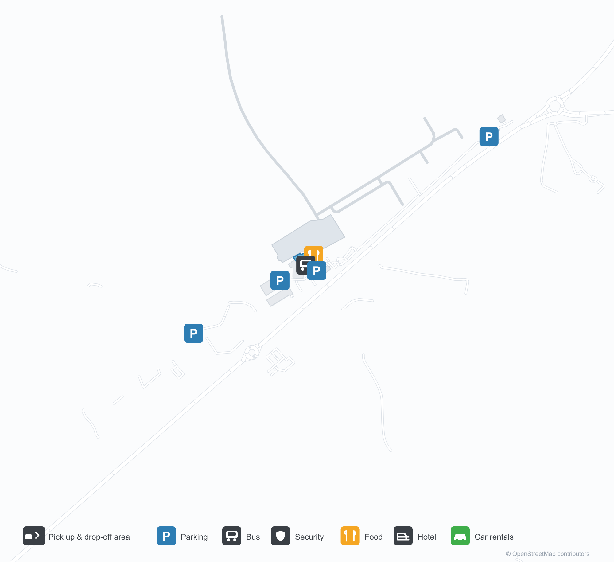
Descargar mapas de aeropuertosDescargas
Fotos del aeropuertoFotos del aeropuerto
Fotos reales de este aeropuerto, cada una con la referencia de la página web pública donde se encontró; los derechos de autor siguen siendo de los fotógrafos originales. Haz clic en una foto para ampliarla o en la línea de crédito para abrir su página de origen.
Vista satelital: las pistas de Armidale se extienden entre colinas y tierras agrícolas de la meseta de New England, con la terminal y la plataforma junto al aeródromo.
Bajo un cielo cubierto, dos viajeros pasan con maletas junto a la entrada acristalada de la baja terminal gris del Aeropuerto Regional de Armidale.
Desde el aire, la pista corre recta junto a potreros verdes mientras una calle de rodaje en bucle recién pavimentada curvea alrededor de la plataforma y sus hangares.
Al atardecer, un turbohélice bimotor descansa en la plataforma junto a la terminal de paredes acristaladas, con su sombra extendiéndose por el asfalto oscuro.
El extremo oscuro a dos aguas de la terminal está acristalado de alero a suelo, con paneles artísticos de color óxido junto a un sendero de ladrillo rojo.
Cálidas lámparas brillan bajo la marquesina de la terminal al caer la noche, mientras la cola de un avión en la plataforma lejana capta la última luz.
Dentro de la sala de facturación vacía, un empleado uniformado se apoya en un mostrador bajo pantallas marcadas para Qantas y Link Airways.
Bajo un cielo azul despejado, los pasajeros bajan de un turbohélice de QantasLink a la plataforma mientras el personal de tierra espera junto al ala.
Mapa de rutas de Armidale Airport — destinos directosMapa de rutas
1 destinos directos: mapa, aerolíneas que operan y distancias.
Vuelos de Armidale Airport — salidas y llegadasPanel de vuelos
52 números de vuelo de 6 aerolíneas y 3 destinos, divididos por dirección. Se incluyen los números de código compartido.
| Vuelo | Aerolínea | Destino | País/región |
|---|---|---|---|
| EK5118 | Emirates | Aeropuerto Kingsford Smith de Sídney | Australia |
| EK5154 | Emirates | Aeropuerto Kingsford Smith de Sídney | Australia |
| EK5170 | Emirates | Aeropuerto Kingsford Smith de Sídney | Australia |
| EK5190 | Emirates | Aeropuerto Kingsford Smith de Sídney | Australia |
| EK5194 | Emirates | Aeropuerto Kingsford Smith de Sídney | Australia |
| FC884 | Link Airways | Brisbane International Airport | Australia |
| FC5184 | Link Airways | Brisbane International Airport | Australia |
| FC8154 | Link Airways | Coffs Harbour (CFS) Coffs Harbour Airport | Australia |
| MU4056 | China Eastern Airlines | Aeropuerto Kingsford Smith de Sídney | Australia |
| NZ7015 | Air New Zealand | Aeropuerto Kingsford Smith de Sídney | Australia |
| NZ7017 | Air New Zealand | Aeropuerto Kingsford Smith de Sídney | Australia |
| NZ7222 | Air New Zealand | Aeropuerto Kingsford Smith de Sídney | Australia |
| NZ7265 | Air New Zealand | Aeropuerto Kingsford Smith de Sídney | Australia |
| NZ7448 | Air New Zealand | Aeropuerto Kingsford Smith de Sídney | Australia |
| NZ7478 | Air New Zealand | Aeropuerto Kingsford Smith de Sídney | Australia |
| QF2019 | Qantas | Aeropuerto Kingsford Smith de Sídney | Australia |
| QF2021 | Qantas | Aeropuerto Kingsford Smith de Sídney | Australia |
| QF2023 | Qantas | Aeropuerto Kingsford Smith de Sídney | Australia |
| QF2025 | Qantas | Aeropuerto Kingsford Smith de Sídney | Australia |
| QF2031 | Qantas | Aeropuerto Kingsford Smith de Sídney | Australia |
Números de vuelo y rutas del índice de vuelos de aviability.com (instantánea de 26 de octubre de 2026); se incluyen los números de código compartido y no se muestran horarios de salida. Fuente: aviability.com ↗
Información y datos del aeropuertoDatos del aeropuerto
Mapa interactivo — ubicación de Armidale AirportMapa interactivo
Consulta este aeropuerto en otros servicios de mapas:
Armidale Airport (ARM): One Domestic Route on the New England TablelandsGuía del aeropuerto
Seen from above, Armidale's runways lie among hills and farmland on the New England tablelands, with the terminal and apron alongside the field. The airport serves Armidale in New South Wales, Australia, at an elevation of about 1,084 m, with runways up to 1,738 m; Armidale is a university and farming town on the New England tablelands, and its route map is short — only Sydney (382 km), the link to the national network.
Satellite view
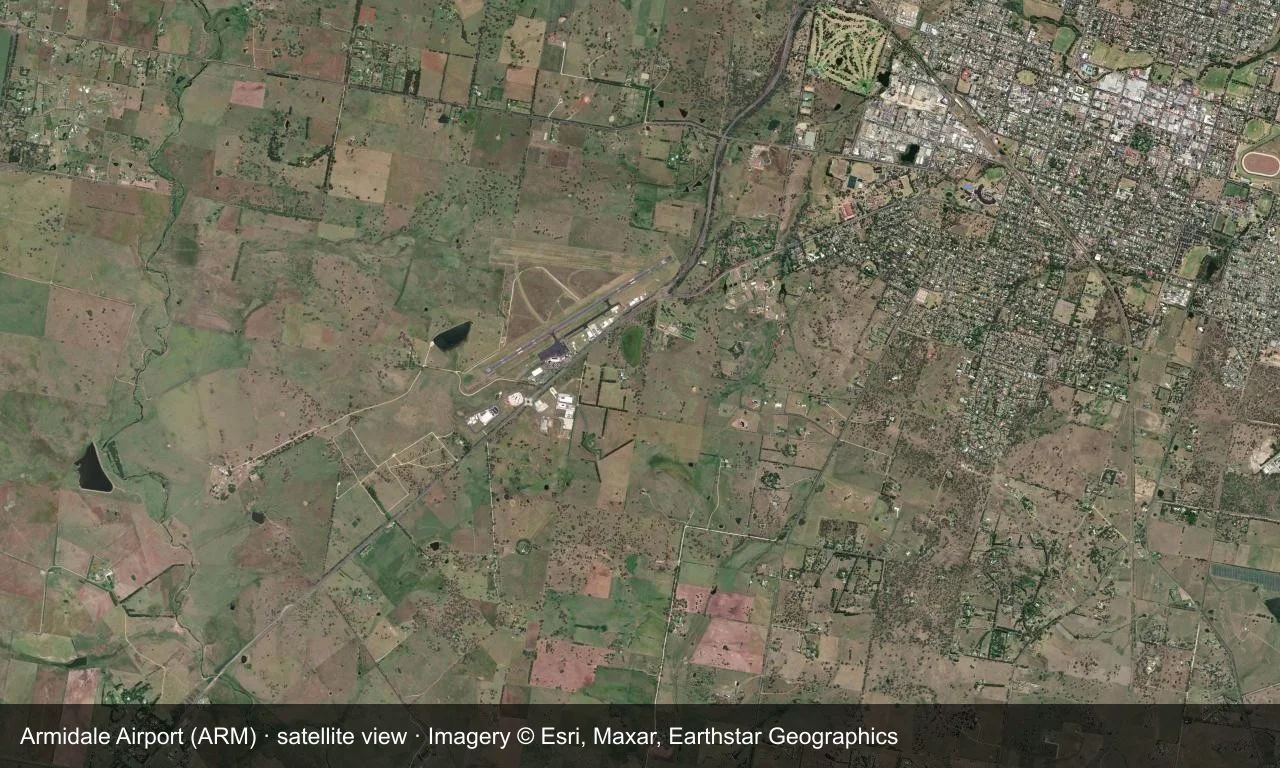
Satellite view: Armidale's runways lie among hills and farmland on the New England tablelands, with the terminal and apron alongside the field.
The satellite image comes from Esri World Imagery (© Esri, Maxar, Earthstar Geographics); the field and attribution are labelled in the image. This is a satellite view, not a ground-level photograph.
Airport at a glance
| Item | Detail |
|---|---|
| IATA / ICAO | ARM / YARM |
| Role | Medium-sized airport |
| Elevation | about 1,084 m |
| Coordinates | -30.5281, 151.6170 |
| Runways | 2, longest 1,738 m |
| Non-stop destinations | 1 (Sydney; 2014 snapshot) |
Runways
| Runway | Length | Width | Surface |
|---|---|---|---|
| 05/23 | 1,738 m | 30 m | asphalt |
| 09/27 | 1,116 m | 30 m | GVL |
2 runways, the longest 1,738 m.
Non-stop routes
1 non-stop destinations, nearest first (OpenFlights route snapshot compiled in 2014 — confirm with the airline or airport):
| Destination | Distance | Carriers |
|---|---|---|
| Sydney Kingsford Smith International Airport (SYD) | ~382 km | Qantas, Regional Express |
The carrier column comes from the same snapshot and includes codeshare and interline services; treat it as an indication of how busy the route is and check the airline for who actually flies it.
Nearby airports to compare
If the fares are close, these are the nearest airports of the same class (medium-sized airport) — straight-line distance, with their own non-stop counts from the same dataset:
| Airport | Distance | Non-stop destinations |
|---|---|---|
| Albury Airport (ABX) | ~753 km | 2 |
Before you fly
- With only Sydney, confirm the flight is operating after booking.
- Tableland winters are cold, with morning frost and low cloud possible.
About the data
Runways, elevation and coordinates come from OurAirports open data. Routes and carriers come from the June 2014 OpenFlights snapshot and include codeshares and interline services; they indicate network shape and scale, not current schedules.
Comentarios de los lectoresDebate
Las preguntas, los relatos de viaje y las correcciones son bienvenidos. Los comentarios son públicos.
Cargando…
Cargando comentarios…