
Agartala - Maharaja Bir Bikram Airport
 Agartala · Hindistan· Agartala - Maharaja Bir Bikram Airport
Agartala - Maharaja Bir Bikram Airport (IATA: IXA, ICAO VEAT), Agartala, Hindistan kentine hizmet veren bir orta büyüklükte havalimanıdır.
Agartala - Maharaja Bir Bikram Airport is a medium-sized airport, at an elevation of about 46 ft, with scheduled passenger service. This page gathers its location map, airport codes and travel information.
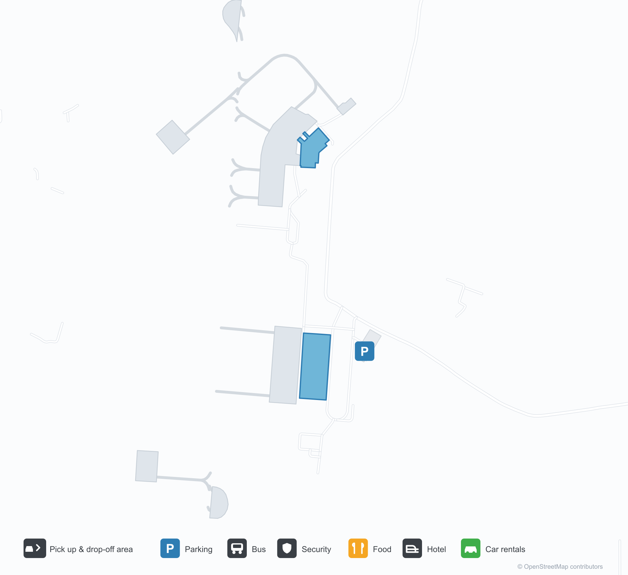
Havalimanı Haritalarını İndirinİndirmeler
Havalimanı fotoğraflarıHavalimanı Fotoğrafları
Bu havalimanının gerçek fotoğrafları; her fotoğrafın altında, fotoğrafın bulunduğu kamuya açık web sayfasına bir atıf yer alır ve telif hakkı özgün fotoğrafçılarda kalır. Yakınlaştırmak için bir fotoğrafa, kaynak sayfasını açmak için bir atıf satırına tıklayın.
Agartala apronsunda kameraya bakan çift turboprop; havaalanının ötesinde Tripura'nın alçak tepeleri var.
Terminalin beyaz tentesi havalimanının adını mavi harflerle taşıyor; kapalı gökyüzü altında kaplı yol boyunca palmiyeler ve çiçek tarhları var.
Gidiş salonunda koyu bir tabela check-in gişelerine ve e-biletlemeye yönlendiriyor; üstteki duvara bir sıra pişmiş toprak parça yerleştirilmiş.
IndiGo boyalı dar gövdeli bir uçak körükte duruyor; yer ekibi gövdesinin ve motorunun çevresinde çalışıyor.
Geceleyin terminalin mavi Devanagari havalimanı tabelası, bir dizi beyaz çekme tente üzerinde parlıyor.
Dikenli tel çitin ötesinden bakınca kırmızı kuyruklu bir jet, puslu ağaç sırasına karşı pist boyunca ilerliyor.
Apronun arkasında soluk yeşil çatılı alçak beyaz bir terminal duruyor; önünde kafes biçimli bir projektör direği, en sağda kontrol kulesi var.
Yüksek kümülüs bulutlarının altında bir IndiGo jetinin ön kapısına biniş merdiveni dayanmış.
Agartala - Maharaja Bir Bikram Airport rota haritası — doğrudan varış noktalarıRota Haritası
3 doğrudan varış noktası: harita, sefer yapan havayolu şirketleri ve mesafeler.
Agartala - Maharaja Bir Bikram Airport uçuşları — kalkışlar ve varışlarUçuş Panosu
53 uçuş numarası, 4 havayolu şirketi ve 5 varış noktası, yönlere göre ayrılmıştır. Ortak uçuş numaraları dahildir.
| Uçuş | Havayolu şirketi | Varış noktası | Ülke/bölge |
|---|---|---|---|
| 6E114 | IndiGo | Netaji Subhash Chandra Bose International Airport | Hindistan |
| 6E213 | IndiGo | Netaji Subhash Chandra Bose International Airport | Hindistan |
| 6E292 | IndiGo | Netaji Subhash Chandra Bose International Airport | Hindistan |
| 6E394 | IndiGo | Netaji Subhash Chandra Bose International Airport | Hindistan |
| 6E491 | IndiGo | Netaji Subhash Chandra Bose International Airport | Hindistan |
| 6E525 | IndiGo | Kempegowda International Airport Bengaluru | Hindistan |
| 6E572 | IndiGo | Guwahati (GAU) Lokpriya Gopinath Bordoloi International Airport | Hindistan |
| 6E2181 | IndiGo | Indira Gandhi Uluslararası Havalimanı | Hindistan |
| 6E6069 | IndiGo | Netaji Subhash Chandra Bose International Airport | Hindistan |
| 6E6097 | IndiGo | Netaji Subhash Chandra Bose International Airport | Hindistan |
| 6E6204 | IndiGo | Dibrugarh (DIB) Dibrugarh Airport | Hindistan |
| 6E6383 | IndiGo | Indira Gandhi Uluslararası Havalimanı | Hindistan |
| 6E6504 | IndiGo | Indira Gandhi Uluslararası Havalimanı | Hindistan |
| 6E6552 | IndiGo | Guwahati (GAU) Lokpriya Gopinath Bordoloi International Airport | Hindistan |
| 6E6705 | IndiGo | Netaji Subhash Chandra Bose International Airport | Hindistan |
| 6E6724 | IndiGo | Guwahati (GAU) Lokpriya Gopinath Bordoloi International Airport | Hindistan |
| 6E7419 | IndiGo | Netaji Subhash Chandra Bose International Airport | Hindistan |
| AI9588 | Air India | Netaji Subhash Chandra Bose International Airport | Hindistan |
| AI9610 | Air India | Netaji Subhash Chandra Bose International Airport | Hindistan |
| AI9624 | Air India | Netaji Subhash Chandra Bose International Airport | Hindistan |
Uçuş numaraları ve rotalar aviability.com uçuş dizininden (anlık görüntü: 26 Ekim 2026); ortak uçuş numaraları dahildir ve kalkış saatleri gösterilmez. Kaynak: aviability.com ↗
Havalimanı bilgileri ve ayrıntılarıHavalimanı Ayrıntıları
Etkileşimli harita — Agartala - Maharaja Bir Bikram Airport konumuEtkileşimli Harita
Bu havalimanını diğer harita hizmetlerinde görüntüleyin:
Agartala Airport (IXA): Low Hills and Three Domestic Routes in TripuraHavalimanı Rehberi
A twin-turboprop faces the camera on Agartala's apron, with the low hills of Tripura beyond. The airport serves Agartala in Tripura, India, at an elevation of about 14 m, with a 2,286 m runway; the 2014 snapshot records three domestic destinations, Guwahati at 249 km, Imphal at 286 km and Kolkata at 316 km.
Airport photos

A twin turboprop facing the camera on Agartala's apron, the low hills of Tripura beyond the airfield.
The photos come from public web sources and remain the copyright of their photographers; full credits and source links sit in the photo gallery on this page.
Airport at a glance
| Item | Detail |
|---|---|
| IATA / ICAO | IXA / VEAT |
| Role | Medium-sized airport |
| Elevation | about 14 m |
| Coordinates | 23.8870, 91.2404 |
| Runways | 1, 2,286 m |
| Non-stop destinations | 3 (2014 snapshot, all domestic) |
Runways
| Runway | Length | Width | Surface |
|---|---|---|---|
| 18/36 | 2,286 m | 45 m | asphalt |
1 runway, the longest 2,286 m.
Non-stop routes
3 non-stop destinations, nearest first (OpenFlights route snapshot compiled in 2014 — confirm with the airline or airport):
| Destination | Distance | Carriers |
|---|---|---|
| Lokpriya Gopinath Bordoloi International Airport (GAU) | ~249 km | IndiGo Airlines, Spicejet |
| Bir Tikendrajit International Airport (IMF) | ~286 km | IndiGo Airlines |
| Netaji Subhash Chandra Bose International Airport (CCU) | ~316 km | IndiGo Airlines, Jet Airways, Air India Limited |
The carrier column comes from the same snapshot and includes codeshare and interline services; treat it as an indication of how busy the route is and check the airline for who actually flies it.
Nearby airports to compare
If the fares are close, these are the nearest airports of the same class (medium-sized airport) — straight-line distance, with their own non-stop counts from the same dataset:
| Airport | Distance | Non-stop destinations |
|---|---|---|
| Lengpui Airport (AJL) | ~140 km | 3 |
Before you fly
- With three domestic routes, 90–120 minutes is usually enough; land border crossings towards Bangladesh are separate from air travel.
- The 2014 snapshot records three destinations and the north-east Indian network has changed; check current information.
About the data
Runways, elevation and coordinates come from OurAirports open data. Routes and carriers come from the June 2014 OpenFlights snapshot and include codeshares and interline services; they indicate network shape and scale, not current schedules.
History
Administered by the Airports Authority of India about 9 km from Agartala, the field is the second busiest in Northeast India after Guwahati — 22nd among India's 50 major airports in 2010–11.
Source: Agartala Airport.
Okuyucu yorumlarıTartışma
Sorular, seyahat deneyimleri ve düzeltmeler memnuniyetle karşılanır. Yorumlar herkese açıktır.
Yükleniyor…
Yorumlar yükleniyor…