
Ardmore Municipal Airport
 Ardmore · ABD· Ardmore Municipal Airport
Ardmore Municipal Airport (IATA: ADM, ICAO KADM), Ardmore, ABD kentine hizmet veren bir küçük havalimanıdır.
Ardmore Municipal Airport is a small airport, at an elevation of about 777 ft. This page gathers its location map, airport codes and travel information.
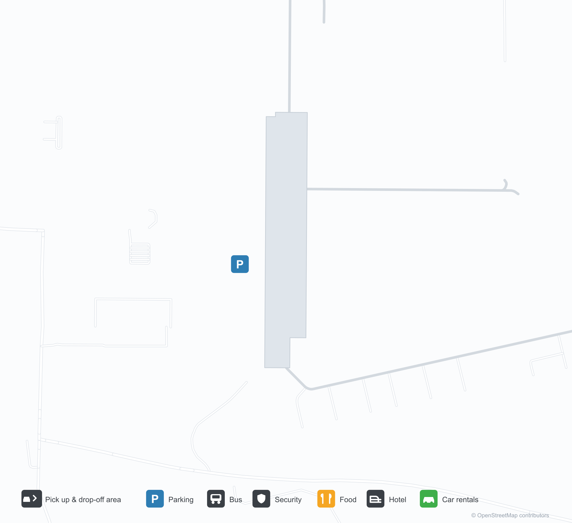
Havalimanı Haritalarını İndirinİndirmeler
Havalimanı fotoğraflarıHavalimanı Fotoğrafları
Bu havalimanının gerçek fotoğrafları; her fotoğrafın altında, fotoğrafın bulunduğu kamuya açık web sayfasına bir atıf yer alır ve telif hakkı özgün fotoğrafçılarda kalır. Yakınlaştırmak için bir fotoğrafa, kaynak sayfasını açmak için bir atıf satırına tıklayın.
Ardmore Belediye Havalimanı'na havadan bakış — yeşil tarlalar üzerinde kesişen iki pist; terminal ve hangarlar güneybatı tarafında toplanmış.
Ardmore Belediye Havalimanı'nın giriş tabelası — havalimanı işletmelerinin rehberinin yanındaki taş kaide üzerinde adı yazıyor.
Hafif bir uçağın kanat direğinin ötesinden görünen Ardmore Belediye pistleri yeşil tarlaları kesiyor; bir nehir ağaçların arasından kıvrılıyor.
Eski bir siyah-beyaz hava fotoğrafı, sahanın kesişen pistlerini gösteriyor; sıralar halindeki hangarlar ve destek binaları açık tarım arazisine yayılmış.
Bir Federal Havacılık Dairesi (FAA) havalimanı diyagramı, Ardmore Belediye'nin iki pistini, taksi yollarını, yükseltilerini ve manyetik istikametlerini gösteriyor.
Bir Google Haritalar ekran görüntüsü, Springer ile Gene Autry arasındaki otoyollar ve tarım arazileri arasında havalimanının yaklaşık konumunu kırmızı bir iğneyle işaretliyor.
Havalimanı bilgileri ve ayrıntılarıHavalimanı Ayrıntıları
Etkileşimli harita — Ardmore Municipal Airport konumuEtkileşimli Harita
Bu havalimanını diğer harita hizmetlerinde görüntüleyin:
Ardmore Municipal Airport (ADM): Two Crossing Runways and a General-Aviation FieldHavalimanı Rehberi
From the air, two runways cross in grassland, with the terminal and hangars clustered in the south-west corner; the stone entrance wall reads "ARDMORE MUNICIPAL AIRPORT", with a directory of based businesses beside it. The field serves Ardmore, Oklahoma, at an elevation of about 237 m, with two runways up to 2,744 m; the 2014 snapshot records no scheduled routes, and OurAirports lists it for general aviation and charters.
Airport photos
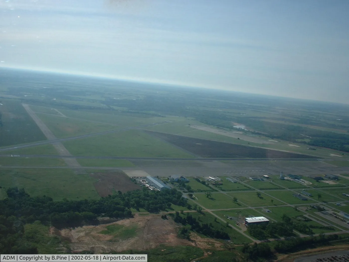
Airborne view of Ardmore Municipal Airport — two runways crossing over green fields, the terminal and hangars clustered on the south-west side.
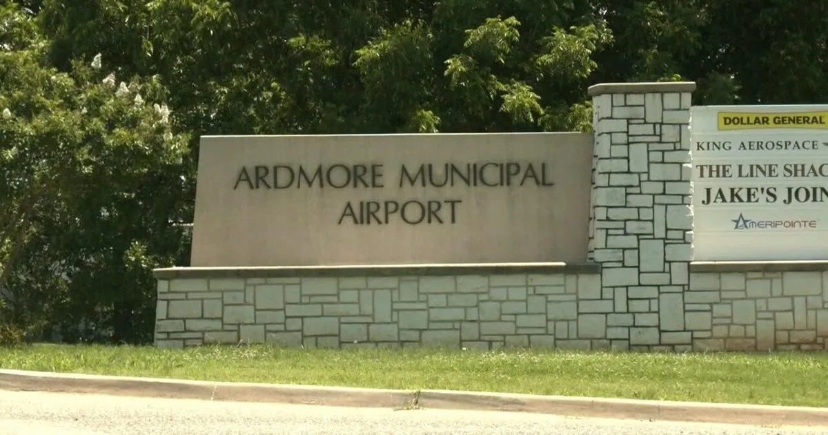
The entrance sign at Ardmore Municipal Airport — the name on a stone base beside a directory of airport businesses.
The photos come from public web sources and remain the copyright of their photographers; full credits and source links sit in the photo gallery on this page.
Airport at a glance
| Item | Detail |
|---|---|
| IATA / ICAO | ADM / KADM |
| Role | Small airport |
| Elevation | about 237 m |
| Coordinates | 34.3030, -97.0196 |
| Runways | 2, longest 2,744 m |
| Non-stop destinations | 0 in the 2014 snapshot |
Runways
| Runway | Length | Width | Surface |
|---|---|---|---|
| 13/31 | 2,744 m | 46 m | concrete |
| 17/35 | 1,647 m | 30 m | asphalt |
2 runways, the longest 2,744 m.
Non-stop routes
The route dataset carries no scheduled non-stop services for this airport. Regional schedules change often — confirm with the airline or airport before booking.
Nearby airports to compare
If the fares are close, these are the nearest airports of the same class (small airport) — straight-line distance, with their own non-stop counts from the same dataset:
| Airport | Distance | Non-stop destinations |
|---|---|---|
| Addison Airport (ADS) | ~149 km | — |
Before you fly
- General aviation and charters dominate; confirm runway, fuel and parking with the operator before departure.
- No scheduled routes are recorded; for longer trips, the usual pattern is to connect via Oklahoma City or Dallas.
About the data
Runways, elevation and coordinates come from OurAirports open data. Routes and carriers come from the June 2014 OpenFlights snapshot and include codeshares and interline services; they indicate network shape and scale, not current schedules.
History
Also known as Ardmore Industrial Airpark, the general-aviation field traces back to the 1945 Army airfield (Ardmore AAF). It spreads over 2,503 acres north-east of Ardmore with two runways and an FAA-staffed tower.
Source: Ardmore Muni Airport.
Okuyucu yorumlarıTartışma
Sorular, seyahat deneyimleri ve düzeltmeler memnuniyetle karşılanır. Yorumlar herkese açıktır.
Yükleniyor…
Yorumlar yükleniyor…