
Ardmore Municipal Airport
 Ardmore · สหรัฐอเมริกา· Ardmore Municipal Airport
Ardmore Municipal Airport (IATA: ADM, ICAO KADM) เป็นสนามบินขนาดเล็กที่ให้บริการArdmore, สหรัฐอเมริกา
Ardmore Municipal Airport is a small airport, at an elevation of about 777 ft. This page gathers its location map, airport codes and travel information.
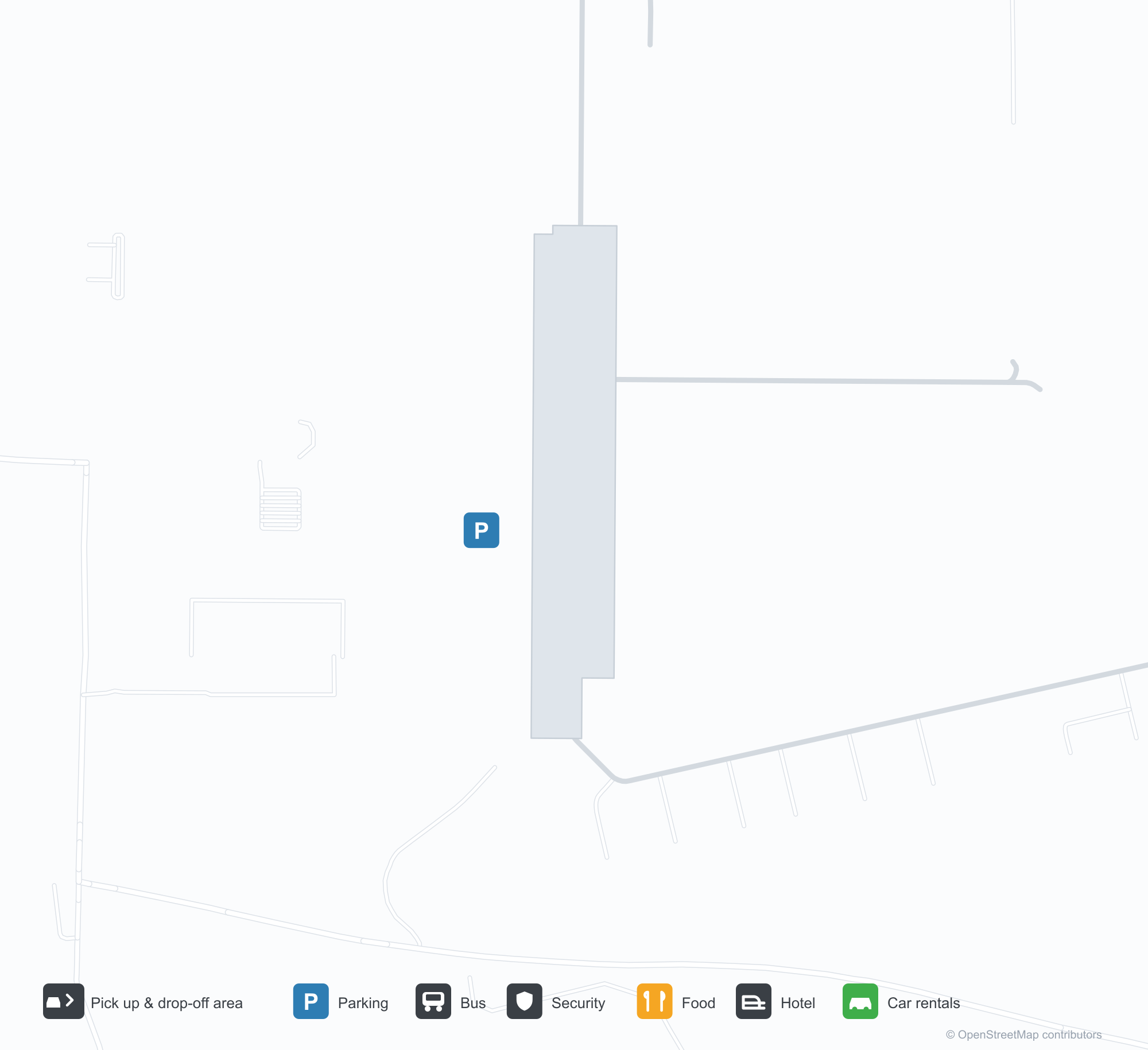
ดาวน์โหลดแผนที่สนามบินดาวน์โหลด
ภาพสนามบินภาพสนามบิน
ภาพจริงของสนามบินแห่งนี้ พร้อมเครดิตของหน้าเว็บสาธารณะที่พบภาพ; ลิขสิทธิ์ยังเป็นของผู้ถ่ายภาพต้นฉบับ คลิกที่ภาพเพื่อขยาย หรือคลิกบรรทัดเครดิตเพื่อเปิดหน้าแหล่งที่มา
ภาพจากอากาศของท่าอากาศยานเทศบาลอาร์ดมอร์ — ทางวิ่งสองเส้นตัดกันเหนือทุ่งสีเขียว อาคารผู้โดยสารและโรงเก็บอากาศยานรวมกลุ่มอยู่ทางตะวันตกเฉียงใต้
ป้ายทางเข้าท่าอากาศยานเทศบาลอาร์ดมอร์ — ชื่อสนามบินบนฐานหินข้างป้ายรายชื่อธุรกิจในสนามบิน
มองผ่านเสาปีกของเครื่องบินเบาลำหนึ่ง ทางวิ่งของอาร์ดมอร์ตัดกันเหนือทุ่งสีเขียว ขณะที่แม่น้ำโค้งผ่านต้นไม้
ภาพถ่ายทางอากาศขาวดำเก่าแสดงทางวิ่งตัดกันของสนามบิน พร้อมแถวโรงเก็บอากาศยานและอาคารสนับสนุนกระจายอยู่ทั่วพื้นที่เกษตรเปิดโล่ง
แผนผังสนามบินขององค์การบริหารการบินแห่งสหพันธ์ (FAA) แสดงทางวิ่งสองเส้น ทางขับ ระดับความสูง และทิศทางแม่เหล็กของอาร์ดมอร์
ภาพหน้าจอ Google Maps ทำเครื่องหมายตำแหน่งโดยประมาณของสนามบินด้วยหมุดสีแดงท่ามกลางทางหลวงและพื้นที่เกษตรระหว่างสปริงเกอร์กับยีนออทรี
ข้อมูลและรายละเอียดสนามบินรายละเอียดสนามบิน
แผนที่อินเทอร์แอกทีฟ — ตำแหน่ง Ardmore Municipal Airportแผนที่อินเทอร์แอกทีฟ
ดูสนามบินนี้บนบริการแผนที่อื่น:
Ardmore Municipal Airport (ADM): Two Crossing Runways and a General-Aviation Fieldคู่มือสนามบิน
From the air, two runways cross in grassland, with the terminal and hangars clustered in the south-west corner; the stone entrance wall reads "ARDMORE MUNICIPAL AIRPORT", with a directory of based businesses beside it. The field serves Ardmore, Oklahoma, at an elevation of about 237 m, with two runways up to 2,744 m; the 2014 snapshot records no scheduled routes, and OurAirports lists it for general aviation and charters.
Airport photos
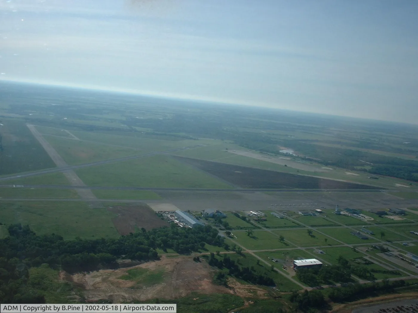
Airborne view of Ardmore Municipal Airport — two runways crossing over green fields, the terminal and hangars clustered on the south-west side.
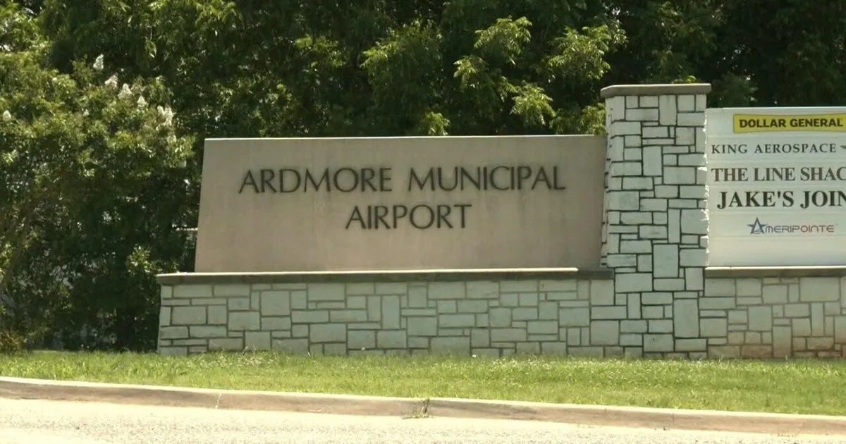
The entrance sign at Ardmore Municipal Airport — the name on a stone base beside a directory of airport businesses.
The photos come from public web sources and remain the copyright of their photographers; full credits and source links sit in the photo gallery on this page.
Airport at a glance
| Item | Detail |
|---|---|
| IATA / ICAO | ADM / KADM |
| Role | Small airport |
| Elevation | about 237 m |
| Coordinates | 34.3030, -97.0196 |
| Runways | 2, longest 2,744 m |
| Non-stop destinations | 0 in the 2014 snapshot |
Runways
| Runway | Length | Width | Surface |
|---|---|---|---|
| 13/31 | 2,744 m | 46 m | concrete |
| 17/35 | 1,647 m | 30 m | asphalt |
2 runways, the longest 2,744 m.
Non-stop routes
The route dataset carries no scheduled non-stop services for this airport. Regional schedules change often — confirm with the airline or airport before booking.
Nearby airports to compare
If the fares are close, these are the nearest airports of the same class (small airport) — straight-line distance, with their own non-stop counts from the same dataset:
| Airport | Distance | Non-stop destinations |
|---|---|---|
| Addison Airport (ADS) | ~149 km | — |
Before you fly
- General aviation and charters dominate; confirm runway, fuel and parking with the operator before departure.
- No scheduled routes are recorded; for longer trips, the usual pattern is to connect via Oklahoma City or Dallas.
About the data
Runways, elevation and coordinates come from OurAirports open data. Routes and carriers come from the June 2014 OpenFlights snapshot and include codeshares and interline services; they indicate network shape and scale, not current schedules.
History
Also known as Ardmore Industrial Airpark, the general-aviation field traces back to the 1945 Army airfield (Ardmore AAF). It spreads over 2,503 acres north-east of Ardmore with two runways and an FAA-staffed tower.
Source: Ardmore Muni Airport.
ความคิดเห็นจากผู้อ่านการสนทนา
ยินดีรับคำถาม รายงานการเดินทาง และการแก้ไข ความคิดเห็นเป็นสาธารณะ
กำลังโหลด…
กำลังโหลดความคิดเห็น…