
Ardmore Municipal Airport
 Ardmore · Estados Unidos· Ardmore Municipal Airport
O Ardmore Municipal Airport (IATA: ADM, ICAO KADM) é um aeroporto pequeno que atende Ardmore, Estados Unidos.
Ardmore Municipal Airport is a small airport, at an elevation of about 777 ft. This page gathers its location map, airport codes and travel information.
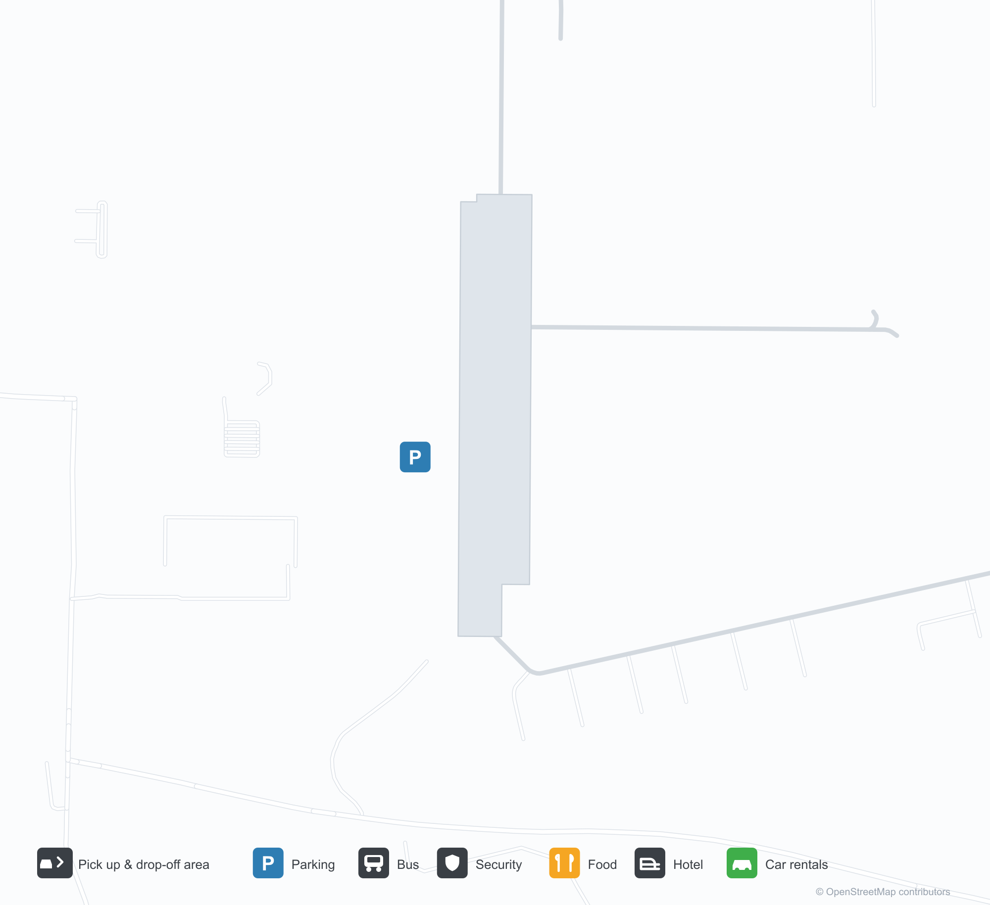
Baixar mapas do aeroportoDownloads
Fotos do aeroportoFotos do aeroporto
Fotos reais deste aeroporto, cada uma creditada à página pública da web onde foi encontrada; os direitos autorais continuam com os fotógrafos originais. Clique em uma foto para ampliar ou em uma linha de crédito para abrir a página de origem.
Vista aérea do Aeroporto Municipal de Ardmore — duas pistas se cruzando sobre campos verdes, com o terminal e os hangares agrupados no lado sudoeste.
A placa de entrada do Aeroporto Municipal de Ardmore — o nome sobre uma base de pedra ao lado de um diretório de empresas do aeroporto.
Visto além do montante da asa de um avião leve, as pistas do Municipal de Ardmore cruzam campos verdes enquanto um rio serpenteia entre as árvores.
Uma antiga fotografia aérea em preto e branco mostra as pistas cruzadas do campo, com fileiras de hangares e edifícios de apoio espalhados por terras agrícolas abertas.
Um diagrama aeroportuário da Administração Federal de Aviação (FAA) mostra as duas pistas, pistas de táxi, elevações e rumos magnéticos do Municipal de Ardmore.
Uma captura do Google Maps marca a localização aproximada do aeroporto com um alfinete vermelho entre rodovias e terras agrícolas, entre Springer e Gene Autry.
Informações e detalhes do aeroportoDetalhes do aeroporto
Mapa interativo — localização do Ardmore Municipal AirportMapa interativo
Veja este aeroporto em outros serviços de mapas:
Ardmore Municipal Airport (ADM): Two Crossing Runways and a General-Aviation FieldGuia do aeroporto
From the air, two runways cross in grassland, with the terminal and hangars clustered in the south-west corner; the stone entrance wall reads "ARDMORE MUNICIPAL AIRPORT", with a directory of based businesses beside it. The field serves Ardmore, Oklahoma, at an elevation of about 237 m, with two runways up to 2,744 m; the 2014 snapshot records no scheduled routes, and OurAirports lists it for general aviation and charters.
Airport photos
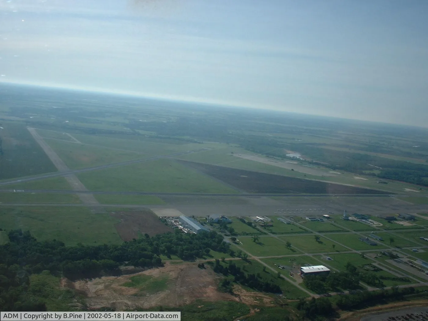
Airborne view of Ardmore Municipal Airport — two runways crossing over green fields, the terminal and hangars clustered on the south-west side.
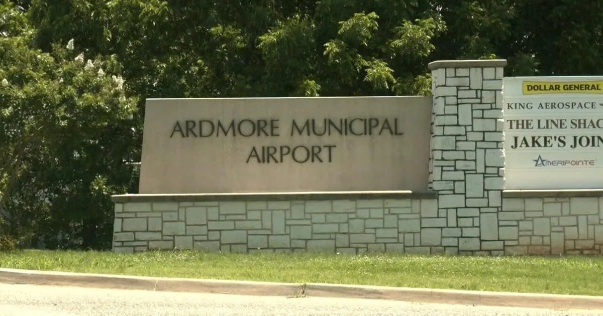
The entrance sign at Ardmore Municipal Airport — the name on a stone base beside a directory of airport businesses.
The photos come from public web sources and remain the copyright of their photographers; full credits and source links sit in the photo gallery on this page.
Airport at a glance
| Item | Detail |
|---|---|
| IATA / ICAO | ADM / KADM |
| Role | Small airport |
| Elevation | about 237 m |
| Coordinates | 34.3030, -97.0196 |
| Runways | 2, longest 2,744 m |
| Non-stop destinations | 0 in the 2014 snapshot |
Runways
| Runway | Length | Width | Surface |
|---|---|---|---|
| 13/31 | 2,744 m | 46 m | concrete |
| 17/35 | 1,647 m | 30 m | asphalt |
2 runways, the longest 2,744 m.
Non-stop routes
The route dataset carries no scheduled non-stop services for this airport. Regional schedules change often — confirm with the airline or airport before booking.
Nearby airports to compare
If the fares are close, these are the nearest airports of the same class (small airport) — straight-line distance, with their own non-stop counts from the same dataset:
| Airport | Distance | Non-stop destinations |
|---|---|---|
| Addison Airport (ADS) | ~149 km | — |
Before you fly
- General aviation and charters dominate; confirm runway, fuel and parking with the operator before departure.
- No scheduled routes are recorded; for longer trips, the usual pattern is to connect via Oklahoma City or Dallas.
About the data
Runways, elevation and coordinates come from OurAirports open data. Routes and carriers come from the June 2014 OpenFlights snapshot and include codeshares and interline services; they indicate network shape and scale, not current schedules.
History
Also known as Ardmore Industrial Airpark, the general-aviation field traces back to the 1945 Army airfield (Ardmore AAF). It spreads over 2,503 acres north-east of Ardmore with two runways and an FAA-staffed tower.
Source: Ardmore Muni Airport.
Comentários dos leitoresDiscussão
Perguntas, relatos de viagem e correções são bem-vindos. Os comentários são públicos.
Carregando…
Carregando comentários…