
Ardmore Municipal Airport
 Ardmore · 미국· Ardmore Municipal Airport
Ardmore Municipal Airport(IATA: ADM, ICAO: KADM)은 미국 Ardmore에 위치한 소형 공항입니다.
Ardmore Municipal Airport is a small airport, at an elevation of about 777 ft. This page gathers its location map, airport codes and travel information.
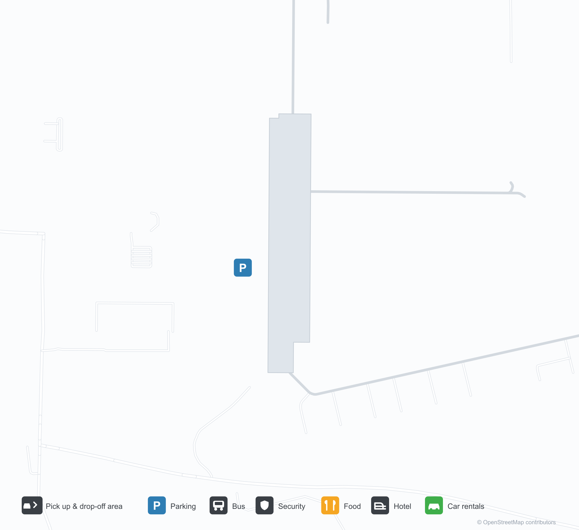
공항 지도 다운로드다운로드
공항 실제 사진공항 사진
다음은 이 공항의 실제 사진으로, 모두 공개된 인터넷 출처에서 가져왔으며 사진마다 출처를 표시했습니다. 저작권은 원저작자에게 있습니다. 사진을 클릭하면 크게 볼 수 있고, 출처를 클릭하면 원본 페이지가 열립니다.
공중에서 본 아드모어 시립공항 — 초록 들판 위로 교차하는 두 활주로, 남서쪽에 모여 있는 터미널과 격납고.
아드모어 시립공항 입구 표지판 — 공항 입주 업체 안내판 옆 석재 기단에 새겨진 이름.
공항 정보 및 상세공항 상세
Ardmore Municipal Airport 인터랙티브 지도 — 공항 위치인터랙티브 지도
다른 지도 서비스에서 이 공항 보기:
Ardmore Municipal Airport (ADM): Two Crossing Runways and a General-Aviation Field공항 안내
From the air, two runways cross in grassland, with the terminal and hangars clustered in the south-west corner; the stone entrance wall reads "ARDMORE MUNICIPAL AIRPORT", with a directory of based businesses beside it. The field serves Ardmore, Oklahoma, at an elevation of about 237 m, with two runways up to 2,744 m; the 2014 snapshot records no scheduled routes, and OurAirports lists it for general aviation and charters.
Airport photos
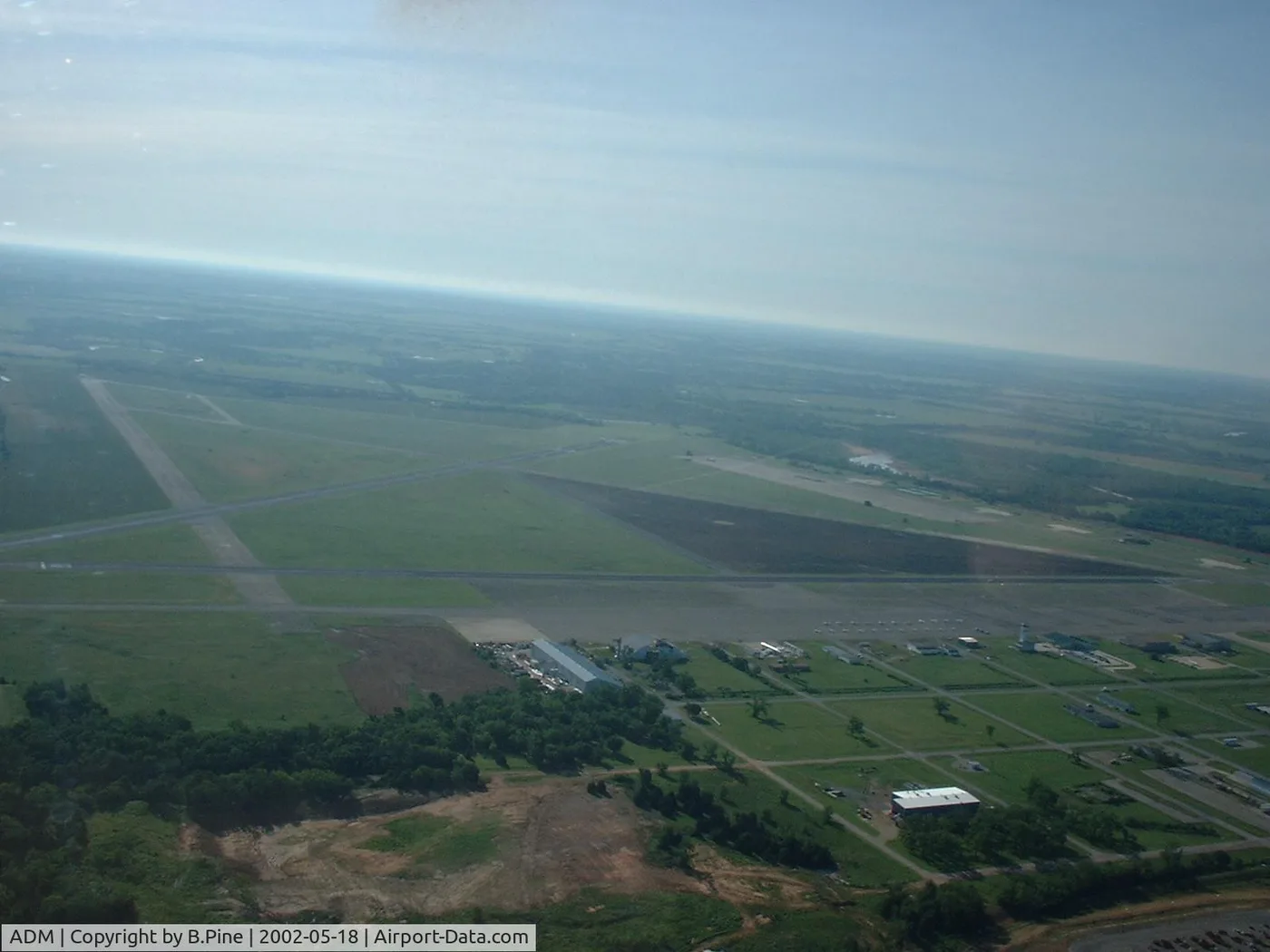
Airborne view of Ardmore Municipal Airport — two runways crossing over green fields, the terminal and hangars clustered on the south-west side.
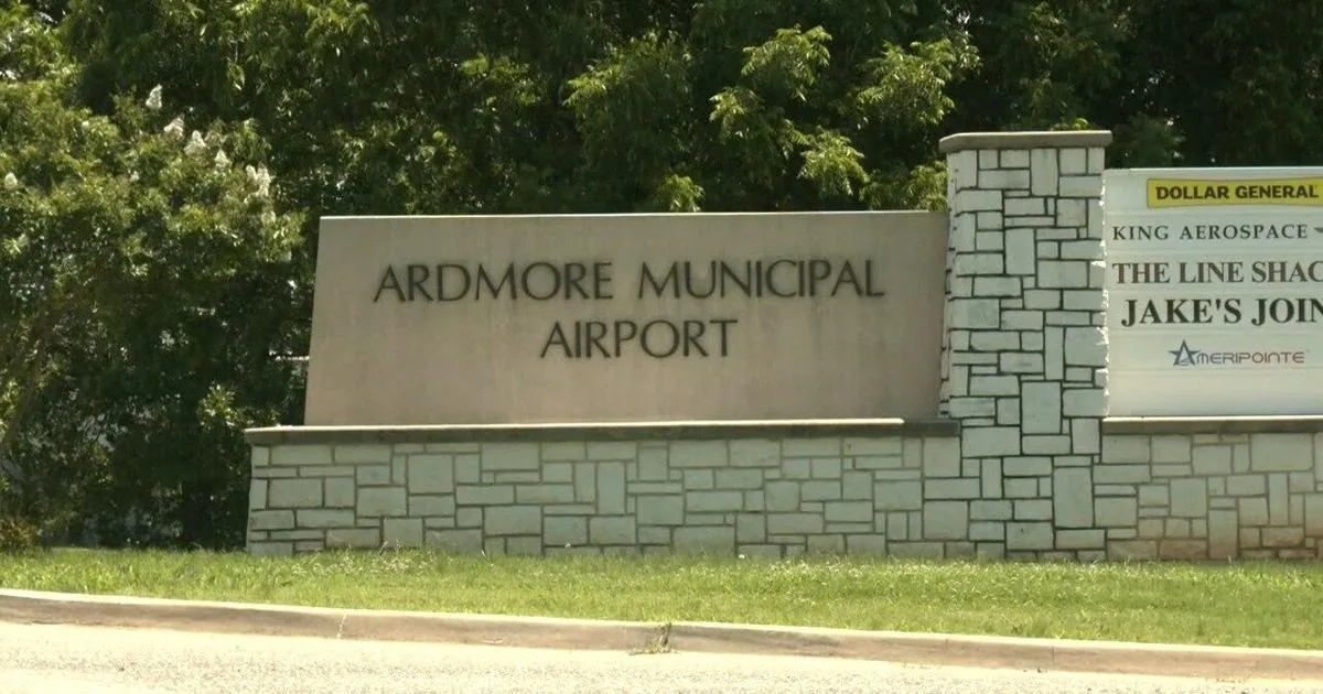
The entrance sign at Ardmore Municipal Airport — the name on a stone base beside a directory of airport businesses.
The photos come from public web sources and remain the copyright of their photographers; full credits and source links sit in the photo gallery on this page.
Airport at a glance
| Item | Detail |
|---|---|
| IATA / ICAO | ADM / KADM |
| Role | Small airport |
| Elevation | about 237 m |
| Coordinates | 34.3030, -97.0196 |
| Runways | 2, longest 2,744 m |
| Non-stop destinations | 0 in the 2014 snapshot |
Runways
| Runway | Length | Width | Surface |
|---|---|---|---|
| 13/31 | 2,744 m | 46 m | concrete |
| 17/35 | 1,647 m | 30 m | asphalt |
2 runways, the longest 2,744 m.
Non-stop routes
The route dataset carries no scheduled non-stop services for this airport. Regional schedules change often — confirm with the airline or airport before booking.
Nearby airports to compare
If the fares are close, these are the nearest airports of the same class (small airport) — straight-line distance, with their own non-stop counts from the same dataset:
| Airport | Distance | Non-stop destinations |
|---|---|---|
| Addison Airport (ADS) | ~149 km | — |
Before you fly
- General aviation and charters dominate; confirm runway, fuel and parking with the operator before departure.
- No scheduled routes are recorded; for longer trips, the usual pattern is to connect via Oklahoma City or Dallas.
About the data
Runways, elevation and coordinates come from OurAirports open data. Routes and carriers come from the June 2014 OpenFlights snapshot and include codeshares and interline services; they indicate network shape and scale, not current schedules.
History
Also known as Ardmore Industrial Airpark, the general-aviation field traces back to the 1945 Army airfield (Ardmore AAF). It spreads over 2,503 acres north-east of Ardmore with two runways and an FAA-staffed tower.
Source: Ardmore Muni Airport.