
Ardmore Municipal Airport
 Ardmore · アメリカ合衆国· Ardmore Municipal Airport
Ardmore Municipal Airport(IATA: ADM、ICAO: KADM)はArdmore、アメリカ合衆国にある小型空港です。
Ardmore Municipal Airport is a small airport, at an elevation of about 777 ft. This page gathers its location map, airport codes and travel information.
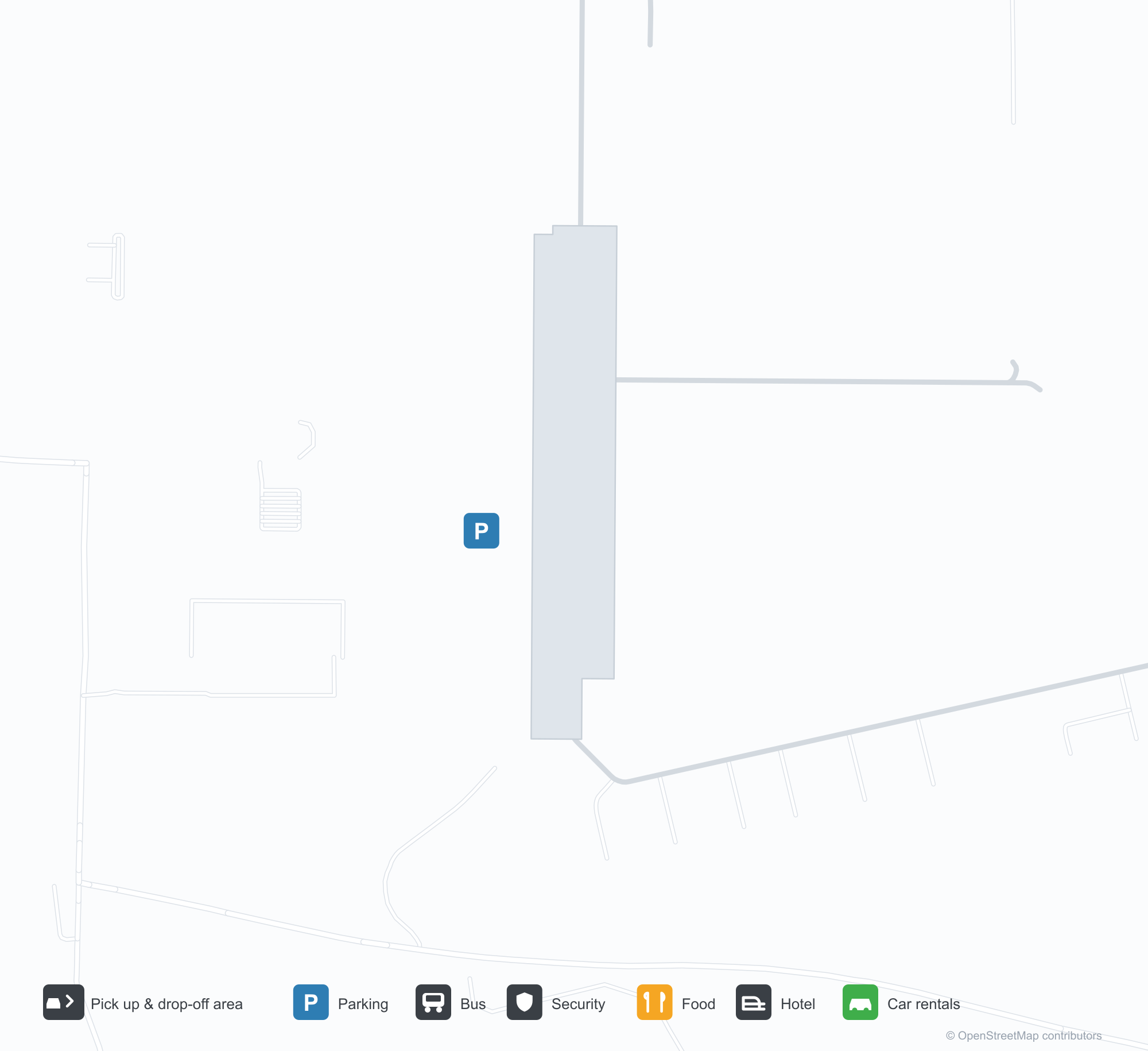
空港マップをダウンロードダウンロード
空港写真空港写真
この空港の実際の写真です。いずれも公開ウェブページを出典として明記しており、著作権は撮影者に帰属します。写真をクリックすると拡大表示され、クレジットをクリックすると元のページが開きます。
アードモア市営空港の空撮——緑の畑の上で2本の滑走路が交差し、南西側にターミナルと格納庫が集まる。
アードモア市営空港の入口看板——石の台座に空港名が記され、そばに空港内事業者の案内板が立つ。
軽飛行機の翼の支柱越しに、アードモア市営空港の滑走路が緑の畑を交差し、川が木々の間を曲がって流れる。
古い白黒の空撮写真:飛行場の交差する滑走路、開けた農地に広がる格納庫と付属建物の列。
米連邦航空局(FAA)の空港図に、アードモア市営空港の2本の滑走路、誘導路、標高、磁方位が示されている。
Googleマップのスクリーンショットで、スプリンガーとジーン・オートリーの間の高速道路と農地の中に、空港のおおよその位置が赤いピンで示されている。
空港情報と詳細空港の詳細
インタラクティブマップ — Ardmore Municipal Airportの位置インタラクティブマップ
他の地図サービスでこの空港を見る:
Ardmore Municipal Airport (ADM): Two Crossing Runways and a General-Aviation Field空港ガイド
From the air, two runways cross in grassland, with the terminal and hangars clustered in the south-west corner; the stone entrance wall reads "ARDMORE MUNICIPAL AIRPORT", with a directory of based businesses beside it. The field serves Ardmore, Oklahoma, at an elevation of about 237 m, with two runways up to 2,744 m; the 2014 snapshot records no scheduled routes, and OurAirports lists it for general aviation and charters.
Airport photos
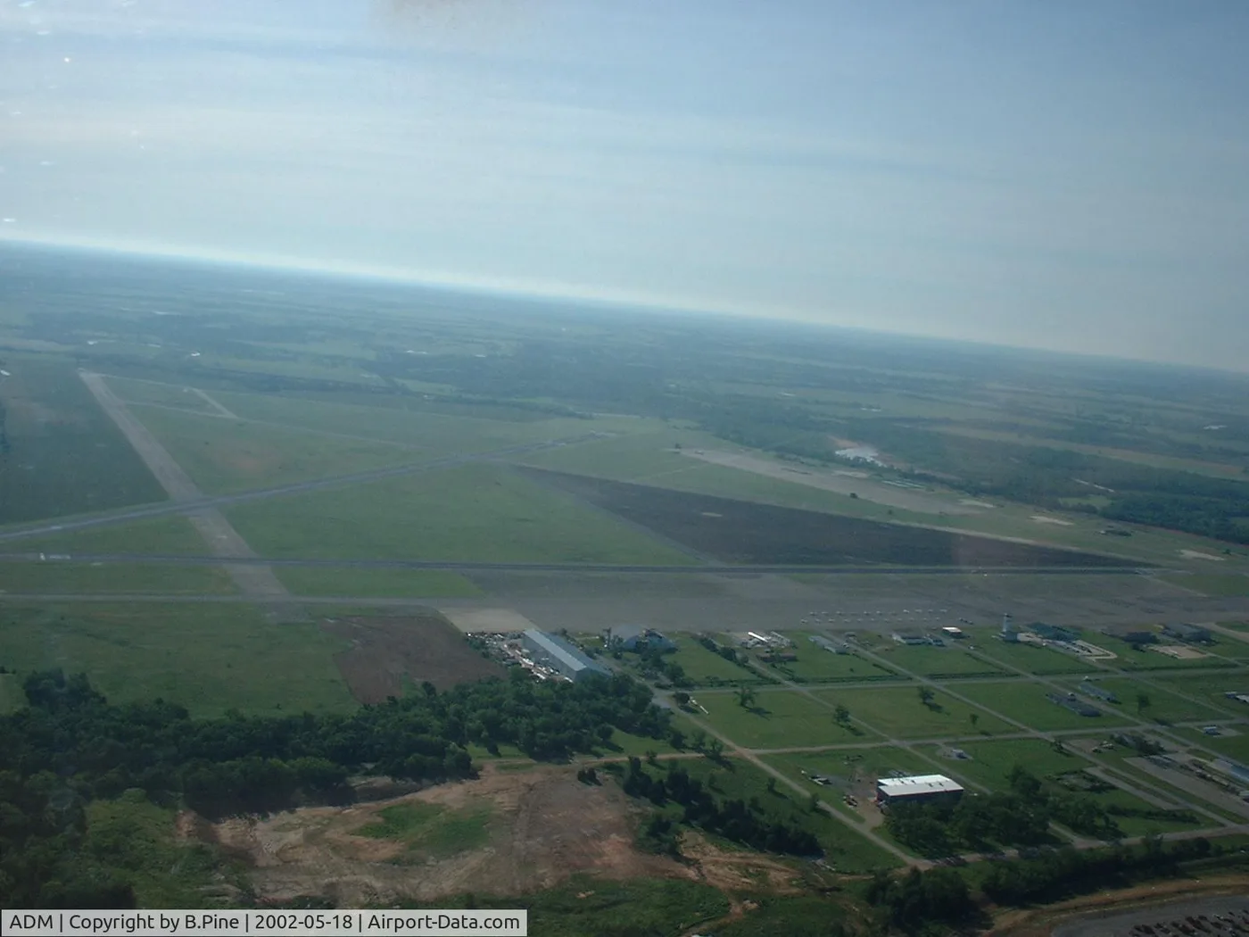
Airborne view of Ardmore Municipal Airport — two runways crossing over green fields, the terminal and hangars clustered on the south-west side.
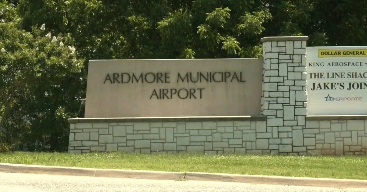
The entrance sign at Ardmore Municipal Airport — the name on a stone base beside a directory of airport businesses.
The photos come from public web sources and remain the copyright of their photographers; full credits and source links sit in the photo gallery on this page.
Airport at a glance
| Item | Detail |
|---|---|
| IATA / ICAO | ADM / KADM |
| Role | Small airport |
| Elevation | about 237 m |
| Coordinates | 34.3030, -97.0196 |
| Runways | 2, longest 2,744 m |
| Non-stop destinations | 0 in the 2014 snapshot |
Runways
| Runway | Length | Width | Surface |
|---|---|---|---|
| 13/31 | 2,744 m | 46 m | concrete |
| 17/35 | 1,647 m | 30 m | asphalt |
2 runways, the longest 2,744 m.
Non-stop routes
The route dataset carries no scheduled non-stop services for this airport. Regional schedules change often — confirm with the airline or airport before booking.
Nearby airports to compare
If the fares are close, these are the nearest airports of the same class (small airport) — straight-line distance, with their own non-stop counts from the same dataset:
| Airport | Distance | Non-stop destinations |
|---|---|---|
| Addison Airport (ADS) | ~149 km | — |
Before you fly
- General aviation and charters dominate; confirm runway, fuel and parking with the operator before departure.
- No scheduled routes are recorded; for longer trips, the usual pattern is to connect via Oklahoma City or Dallas.
About the data
Runways, elevation and coordinates come from OurAirports open data. Routes and carriers come from the June 2014 OpenFlights snapshot and include codeshares and interline services; they indicate network shape and scale, not current schedules.
History
Also known as Ardmore Industrial Airpark, the general-aviation field traces back to the 1945 Army airfield (Ardmore AAF). It spreads over 2,503 acres north-east of Ardmore with two runways and an FAA-staffed tower.
Source: Ardmore Muni Airport.
読者コメントディスカッション
質問、旅行記、訂正など、お気軽にお寄せください。コメントは公開されます。
読み込み中…
コメントを読み込み中…