
Bill & Hillary Clinton National Airport/Adams Field
 Little Rock · United States· Bill & Hillary Clinton National Airport/Adams Field
Bill & Hillary Clinton National Airport/Adams Field (IATA: LIT, ICAO KLIT) is a medium-sized airport serving Little Rock, United States.
Bill & Hillary Clinton National Airport/Adams Field is a medium-sized airport, at an elevation of about 262 ft, with scheduled passenger service. This page gathers its location map, airport codes and travel information.
Download Airport MapsDownloads
Bill & Hillary Clinton National Airport/Adams Field route map — direct destinationsRoute Map
17 direct destinations: map, operating airlines and distances.
Airport information & detailsAirport Details
Interactive map — Bill & Hillary Clinton National Airport/Adams Field locationInteractive Map
View this airport on other map services:
Bill & Hillary Clinton National Airport/Adams Field GuideAirport Guide
Bill & Hillary Clinton National Airport/Adams Field (IATA LIT, ICAO KLIT) serves Little Rock, United States, North America, and is classified as a medium-sized airport. This page gathers what the site's database, maps and route dataset say about it in one place.
Facts at a glance
| IATA / ICAO | LIT / KLIT |
| Airport class | medium-sized airport |
| Location | Little Rock, United States (North America) |
| Coordinates | 34.7292, -92.2236 |
| Direct destinations | 17 (see below) |
Airport map
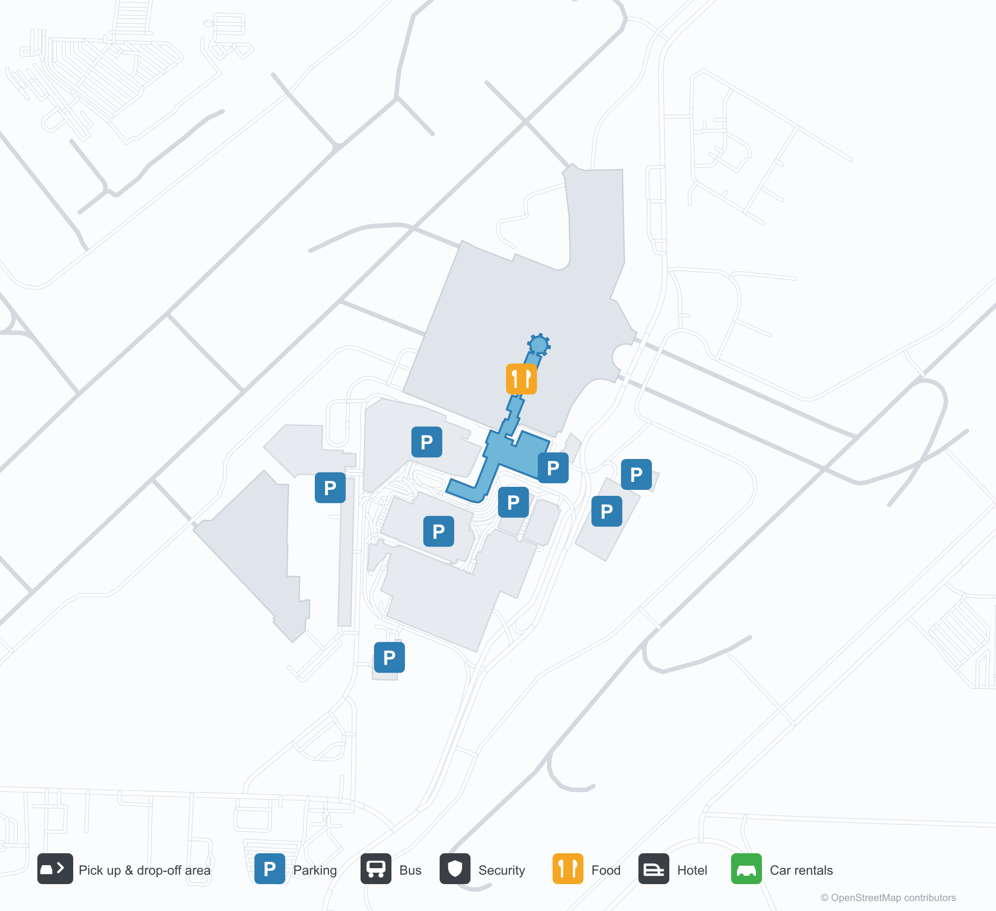
The map on this page is rendered from OpenStreetMap data: airports with terminal polygons show the terminal buildings, aprons and access roads, while small fields show the airfield outline and runway. Icons for parking, buses, food, hotels and car rentals follow whatever OSM has mapped.
- Full-size view — open the map card on this page to zoom in; the 2000 px original can be downloaded.
- Location map — the interactive map lets you pan and zoom to see the field against the city and road network.
- Schematic — the page also draws a size-based schematic to indicate the airport's scale; it is not the actual layout.
Direct routes
Non-stop destinations, nearest first (OpenFlights route dataset, compiled 2014 — treat as indicative and confirm with the airline):
| Destination | Distance | Main carriers |
|---|---|---|
| Dallas Love Field (DAL) | ~476 km | AirTran Airways, Southwest Airlines |
| St. Louis Lambert International Airport (STL) | ~476 km | AirTran Airways |
| Dallas Fort Worth International Airport (DFW) | ~489 km | American Airlines, US Airways |
| George Bush Intercontinental Airport (IAH) | ~603 km | United Airlines |
| William P. Hobby Airport (HOU) | ~634 km | Southwest Airlines |
| Hartsfield–Jackson Atlanta International Airport (ATL) | ~727 km | Air France, Alitalia |
| Chicago Midway International Airport (MDW) | ~876 km | Southwest Airlines |
| O'Hare International Airport (ORD) | ~889 km | American Airlines, United Airlines |
See the Bill & Hillary Clinton National Airport/Adams Field route map for the full list of 17 non-stop destinations.
Nearby airports
If nothing fits, these nearby fields are worth comparing:
| Airport | Distance |
|---|---|
| Arkansas International Airport (BYH) | 248 km |
| Alexandria International Airport (AEX) | 380 km |
| Ardmore Municipal Airport (ADM) | 442 km |
Size and facilities
Medium-sized airports are regional hubs: one compact terminal, walkable distances and usually faster check-in than a major hub — but with fewer frequencies, so rebooking after a missed flight is harder. Aim for 90–120 minutes before departure.
Terminal plans, check-in locations and ground-transport timetables are published by the airport itself; for detail that must be right on the day, rely on the airport's own information. If something here looks wrong, please tell us via the Contact page and we will check it.
Tips
- If your destination is not in the table above, you will usually connect via Dallas Love Field (DAL) or another larger airport.
- Use the search box at the top of the page to compare alternatives: type a city name or IATA code.
- In peak season parking and rental cars run short at small fields too — book ahead if you are driving.