
Astypalaia Airport
 Astypalaia · Hy Lạp· Astypalaia Airport
Astypalaia Airport (IATA: JTY, ICAO LGPL) là một sân bay nhỏ phục vụ Astypalaia, Hy Lạp.
Astypalaia Airport is a small airport, at an elevation of about 165 ft, with scheduled passenger service. This page gathers its location map, airport codes and travel information.
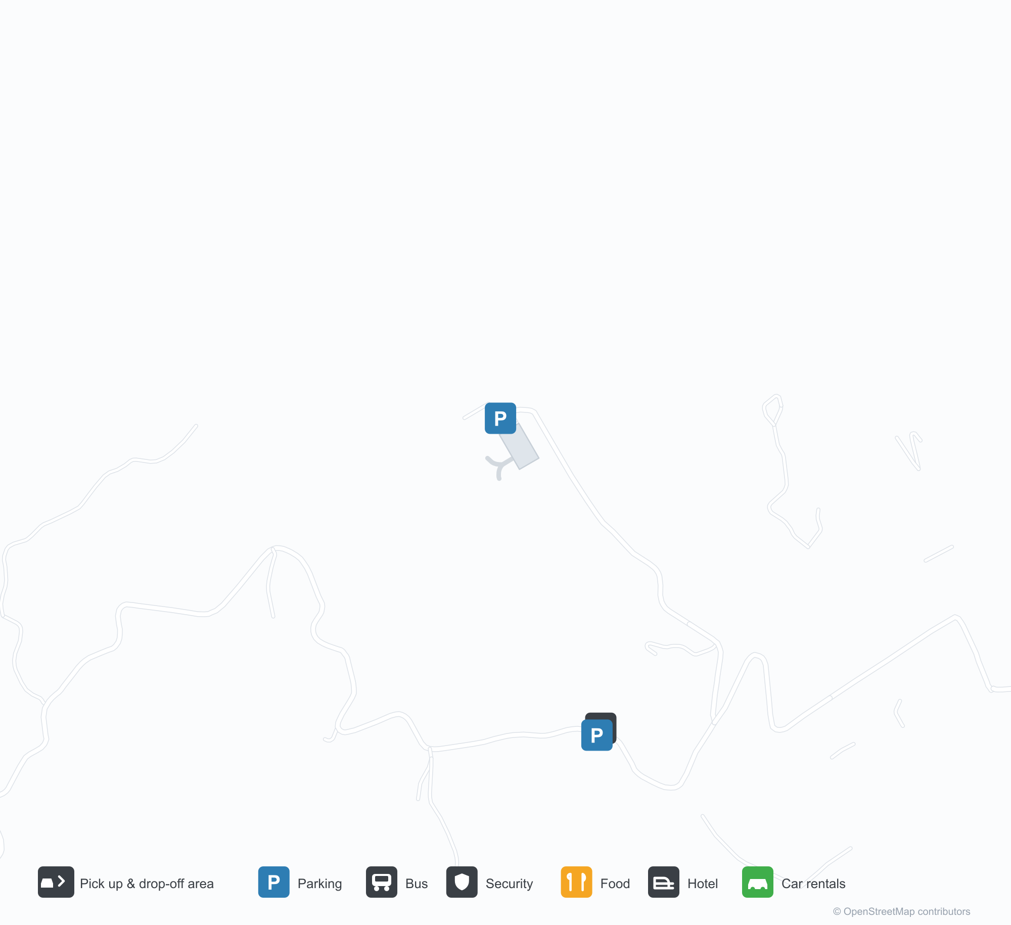
Tải bản đồ sân bayTải xuống
Ảnh sân bayẢnh sân bay
Ảnh thực tế của sân bay này, mỗi ảnh đều ghi nguồn từ trang web công khai nơi tìm thấy ảnh; bản quyền thuộc về nhiếp ảnh gia gốc. Nhấp vào ảnh để phóng to, hoặc nhấp vào dòng ghi nguồn để mở trang nguồn.
Trong ảnh vệ tinh, Sân bay Astypalaia (JTY) hòa vào nước và bờ biển xung quanh.
Một nhà ga trắng mái bằng chạy dọc sân trước sỏi, một khối tháp tròn ở đầu bên phải và xe đẩy hành lý đỗ phía trước.
Lúc chạng vạng, đường băng và đường lăn uốn cong qua một nhà ga trắng thấp, phía xa là biển lặng và mũi đất tối.
Một du khách giơ thẻ lên máy bay và hộ chiếu trên sân đỗ, phía sau là một chiếc máy bay cánh quạt hai động cơ đỗ trong nắng thấp.
Một vòng cung vàng uốn qua sân đỗ trống về phía nhà ga trắng nhỏ, cabin tháp không lưu đặt ở góc dưới bầu trời quang đãng.
Từ trên không, một đường băng đơn nằm dọc bán đảo nhô ra vùng nước xanh thẳm, nhà ga chen chúc bên cạnh điểm giữa.
Chuyến bay tại Astypalaia Airport — khởi hành & đếnBảng chuyến bay
6 số hiệu chuyến bay của 2 hãng hàng không, kết nối 2 điểm đến, phân theo chiều bay. Bao gồm số hiệu liên danh.
| Chuyến bay | Hãng hàng không | Điểm đến | Quốc gia/khu vực |
|---|---|---|---|
| EY6726 | Etihad Airways | Sân bay Quốc tế Athens | Hy Lạp |
| GQ11 | Sky Express | Sân bay Quốc tế Athens | Hy Lạp |
| GQ71 | Sky Express | LRS |
Số hiệu chuyến bay và tuyến bay từ chỉ mục chuyến bay aviability.com (ảnh chụp 26 tháng 10, 2026); bao gồm số hiệu liên danh và không hiển thị giờ khởi hành. Nguồn: aviability.com ↗
Thông tin & chi tiết sân bayChi tiết sân bay
Bản đồ tương tác — vị trí Astypalaia AirportBản đồ tương tác
Xem sân bay này trên các dịch vụ bản đồ khác:
Astypalaia Airport (JTY) Guide: No scheduled services on recordHướng dẫn sân bay
From above, Astypalaia Airport (JTY) sits among a patchwork of vegetation and open ground in Greece. The airport is about 50 m above sea level and has a single 989 m runway; its 2014 route table is empty. The nearest airport is Kos International Airport "Ippokratis" (68.1 km).
Satellite view
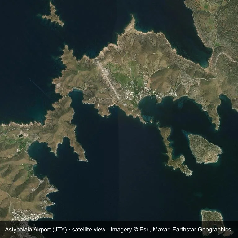
Satellite view: the airfield at Astypalaia Airport (JTY) surrounded by a patchwork of vegetation and open ground.
Source: Esri World Imagery (© Esri, Maxar, Earthstar Geographics); attribution is in the image. This is an overhead view, not a ground-level photograph.
Airport at a glance
| Item | Detail |
|---|---|
| IATA / ICAO | JTY / LGPL |
| Role | small airport |
| Elevation | about 50 m |
| Coordinates | 36.5799, 26.3758 |
| Runways | 1, longest 989 m |
| Non-stop destinations | 0 in the 2014 snapshot |
Runways
| Runway | Length | Surface |
|---|---|---|
| 15/33 | 989 m | ASP |
Why there is no route table
JTY has an empty route table in the 2014 snapshot. The dataset only covers services it recorded, so treat the blank as a gap rather than a closure notice.
Nearby airports
| Airport | Distance | Non-stop destinations |
|---|---|---|
| Kos International Airport "Ippokratis" (KGS) | ~68.1 km | 24 |
| Santorini International Airport (JTR) | ~82.7 km | 10 |
| Mykonos Island National Airport (JMK) | ~132 km | 9 |
Getting there and navigating
- Coordinates: 36.5799, 26.3758
- Open in a map: Google Maps | Amap | Baidu Maps
The map shows the field in its local road context. This page does not cover terminal links or local transport; confirm those with the operator.
Using this airport
Astypalaia Airport sits in Greece, where a patchwork of vegetation and open ground surrounds the field. Runway 15/33 runs northwest–southeast, with 989 m of asphalt at an elevation of about 50 m.
Operationally, 989 m of asphalt places the field in the turboprop and light-jet bracket. The paved surface supports regular operations, though it does not imply scheduled service. Kos International Airport "Ippokratis" is the closest alternative, 68.1 km away, with 24 destinations in the same snapshot.
The 2014 route record is empty. For a planned trip, begin with Kos International Airport "Ippokratis" or another airport with a recorded schedule, then check locally whether a charter can use this field.
Before you fly
- The 989 m runway limits operations to small aircraft; baggage and payload limits are usually strict.
- The runway is paved, which supports year-round operations, but scheduled service is still not guaranteed.
- Kos International Airport "Ippokratis" is 68.1 km away with 24 destinations in the 2014 snapshot, making it the nearest alternative for a scheduled flight.
- Ask the operator about customs, fuel and handling before booking; services at fields this size are not always available on demand.
- Treat this as a general-aviation or charter field rather than a large terminal; confirm handling and opening hours in advance.
About the data
OurAirports supplies the runway, elevation and coordinate figures. The 2014 OpenFlights snapshot supplies the route list; both are reference data, not live operational information.
Bình luận của độc giảThảo luận
Hoan nghênh mọi câu hỏi, báo cáo chuyến đi và góp ý chỉnh sửa. Bình luận được công khai.
Đang tải…
Đang tải bình luận…