
Astypalaia Airport
 Astypalaia · Grécia· Astypalaia Airport
O Astypalaia Airport (IATA: JTY, ICAO LGPL) é um aeroporto pequeno que atende Astypalaia, Grécia.
Astypalaia Airport is a small airport, at an elevation of about 165 ft, with scheduled passenger service. This page gathers its location map, airport codes and travel information.
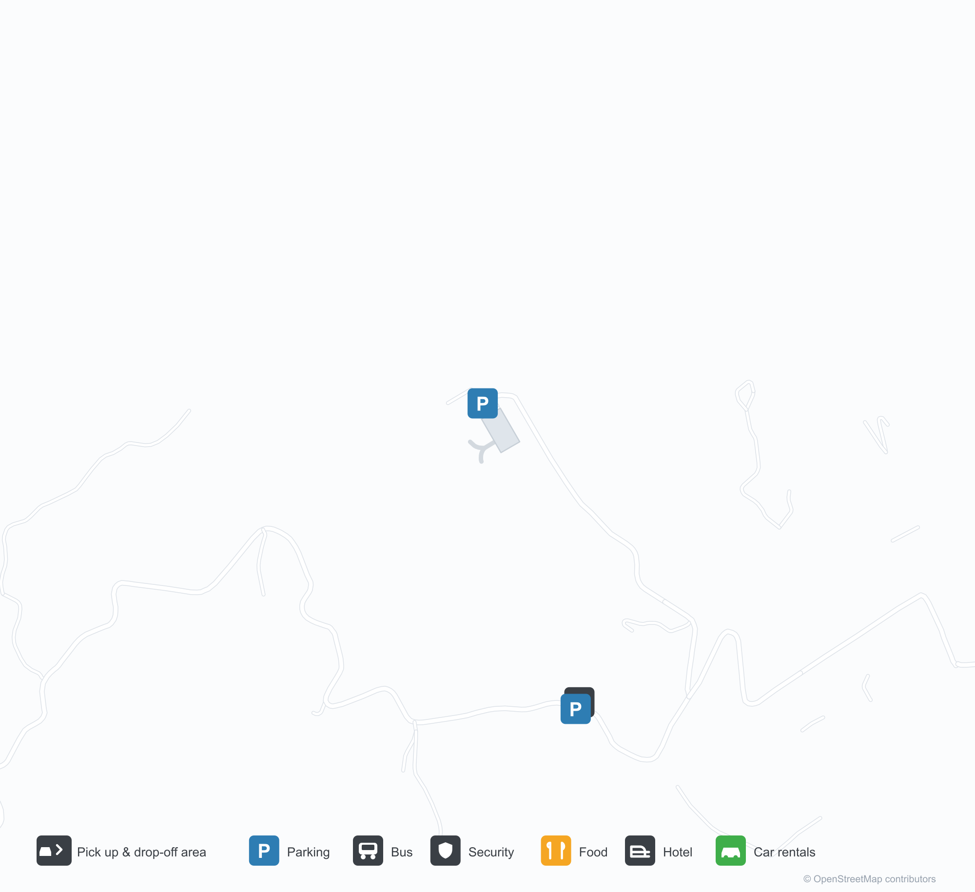
Baixar mapas do aeroportoDownloads
Fotos do aeroportoFotos do aeroporto
Fotos reais deste aeroporto, cada uma creditada à página pública da web onde foi encontrada; os direitos autorais continuam com os fotógrafos originais. Clique em uma foto para ampliar ou em uma linha de crédito para abrir a página de origem.
Na imagem de satélite, o Aeroporto de Astypalaia (JTY) se confunde com a água e o litoral ao redor.
Um terminal branco de telhado plano corre ao longo do pátio frontal de cascalho, com um bloco de torre arredondado em sua extremidade direita e carrinhos de bagagem estacionados à frente.
Ao anoitecer, as curvas da pista e da pista de táxi passam por um baixo terminal branco, com mar calmo e um promontório escuro além.
Um viajante segura cartões de embarque e um passaporte no pátio, com um bimotor turboélice estacionado atrás sob o sol baixo.
Um arco amarelo se curva pelo pátio vazio em direção a um pequeno terminal branco, com sua cabine de controle no canto sob um céu claro.
Visto do ar, uma única pista fica ao longo de uma península que avança em águas azul-profundo, com o terminal espremido ao lado de seu meio.
Astypalaia Airport: voos — partidas e chegadasPainel de voos
6 números de voo de 2 companhias aéreas para 2 destinos, separados por direção. Números de codeshare estão incluídos.
| Voo | Companhia aérea | Destino | País/região |
|---|---|---|---|
| EY6726 | Etihad Airways | Aeroporto Internacional de Atenas | Grécia |
| GQ11 | Sky Express | Aeroporto Internacional de Atenas | Grécia |
| GQ71 | Sky Express | LRS |
Números de voo e rotas do índice de voos da aviability.com (instantâneo de 26 de outubro de 2026); números de codeshare estão incluídos e nenhum horário de partida é exibido. Fonte: aviability.com ↗
Informações e detalhes do aeroportoDetalhes do aeroporto
Mapa interativo — localização do Astypalaia AirportMapa interativo
Veja este aeroporto em outros serviços de mapas:
Astypalaia Airport (JTY) Guide: No scheduled services on recordGuia do aeroporto
From above, Astypalaia Airport (JTY) sits among a patchwork of vegetation and open ground in Greece. The airport is about 50 m above sea level and has a single 989 m runway; its 2014 route table is empty. The nearest airport is Kos International Airport "Ippokratis" (68.1 km).
Satellite view
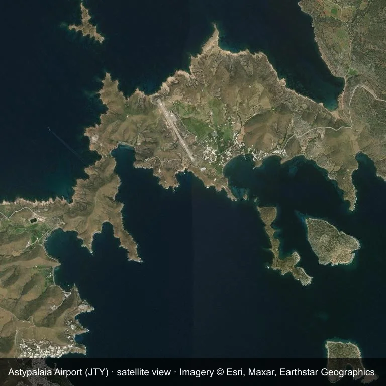
Satellite view: the airfield at Astypalaia Airport (JTY) surrounded by a patchwork of vegetation and open ground.
Source: Esri World Imagery (© Esri, Maxar, Earthstar Geographics); attribution is in the image. This is an overhead view, not a ground-level photograph.
Airport at a glance
| Item | Detail |
|---|---|
| IATA / ICAO | JTY / LGPL |
| Role | small airport |
| Elevation | about 50 m |
| Coordinates | 36.5799, 26.3758 |
| Runways | 1, longest 989 m |
| Non-stop destinations | 0 in the 2014 snapshot |
Runways
| Runway | Length | Surface |
|---|---|---|
| 15/33 | 989 m | ASP |
Why there is no route table
JTY has an empty route table in the 2014 snapshot. The dataset only covers services it recorded, so treat the blank as a gap rather than a closure notice.
Nearby airports
| Airport | Distance | Non-stop destinations |
|---|---|---|
| Kos International Airport "Ippokratis" (KGS) | ~68.1 km | 24 |
| Santorini International Airport (JTR) | ~82.7 km | 10 |
| Mykonos Island National Airport (JMK) | ~132 km | 9 |
Getting there and navigating
- Coordinates: 36.5799, 26.3758
- Open in a map: Google Maps | Amap | Baidu Maps
The map shows the field in its local road context. This page does not cover terminal links or local transport; confirm those with the operator.
Using this airport
Astypalaia Airport sits in Greece, where a patchwork of vegetation and open ground surrounds the field. Runway 15/33 runs northwest–southeast, with 989 m of asphalt at an elevation of about 50 m.
Operationally, 989 m of asphalt places the field in the turboprop and light-jet bracket. The paved surface supports regular operations, though it does not imply scheduled service. Kos International Airport "Ippokratis" is the closest alternative, 68.1 km away, with 24 destinations in the same snapshot.
The 2014 route record is empty. For a planned trip, begin with Kos International Airport "Ippokratis" or another airport with a recorded schedule, then check locally whether a charter can use this field.
Before you fly
- The 989 m runway limits operations to small aircraft; baggage and payload limits are usually strict.
- The runway is paved, which supports year-round operations, but scheduled service is still not guaranteed.
- Kos International Airport "Ippokratis" is 68.1 km away with 24 destinations in the 2014 snapshot, making it the nearest alternative for a scheduled flight.
- Ask the operator about customs, fuel and handling before booking; services at fields this size are not always available on demand.
- Treat this as a general-aviation or charter field rather than a large terminal; confirm handling and opening hours in advance.
About the data
OurAirports supplies the runway, elevation and coordinate figures. The 2014 OpenFlights snapshot supplies the route list; both are reference data, not live operational information.
Comentários dos leitoresDiscussão
Perguntas, relatos de viagem e correções são bem-vindos. Os comentários são públicos.
Carregando…
Carregando comentários…