
Astypalaia Airport
 Astypalaia · ギリシャ· Astypalaia Airport
Astypalaia Airport(IATA: JTY、ICAO: LGPL)はAstypalaia、ギリシャにある小型空港です。
Astypalaia Airport is a small airport, at an elevation of about 165 ft, with scheduled passenger service. This page gathers its location map, airport codes and travel information.
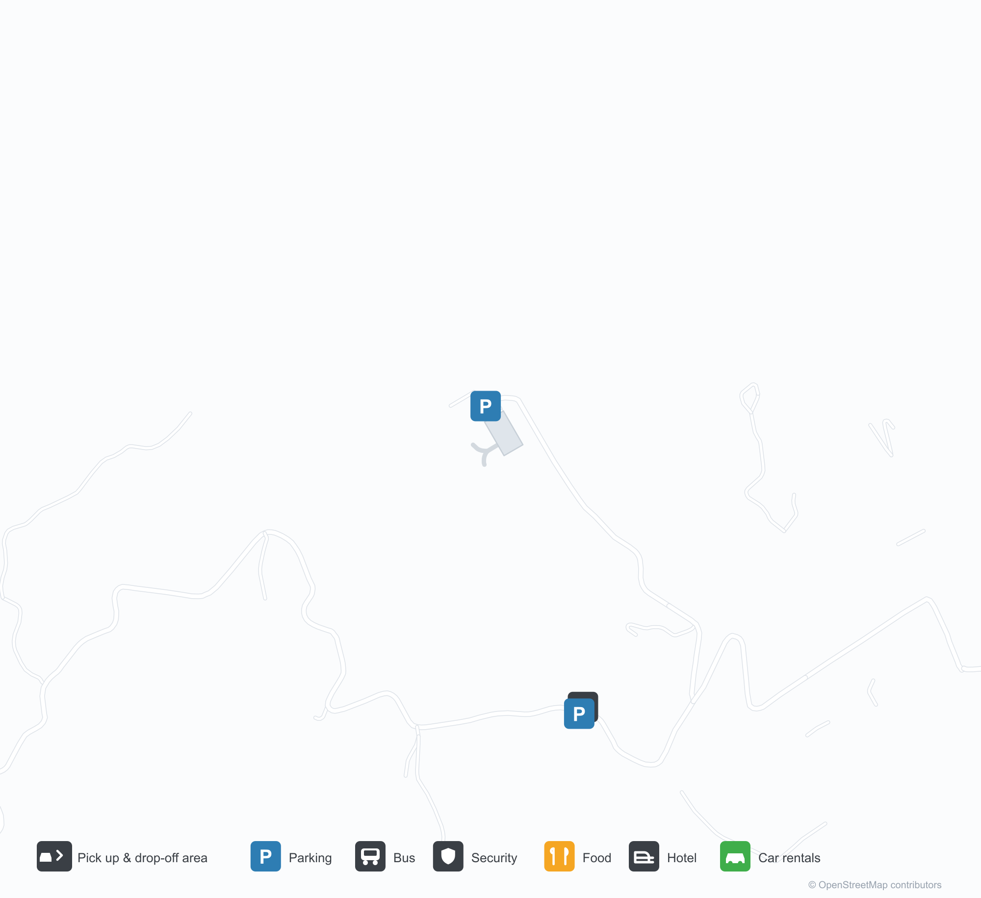
空港マップをダウンロードダウンロード
空港写真空港写真
この空港の実際の写真です。いずれも公開ウェブページを出典として明記しており、著作権は撮影者に帰属します。写真をクリックすると拡大表示され、クレジットをクリックすると元のページが開きます。
衛星画像では、アスティパレア空港(JTY)が周囲の海と海岸線に溶け込んでいる。
白い平屋根のターミナルが砂利の前庭に沿って延び、右端に丸い塔棟、手前には手荷物カート。
夕暮れ、滑走路と誘導路のカーブが低い白いターミナルの脇を流れ、その先に静かな海と暗い岬。
旅行者がエプロンで搭乗券とパスポートを掲げ、背後に双発ターボプロップ機が低い日差しの中に停まる。
空のエプロンに黄色い弧が小さな白いターミナルへ向かって描かれ、澄んだ空の下、角には管制室。
空から見ると、1本の滑走路が深い青の海へ突き出た半島に沿って延び、中ほどにターミナルが寄り添う。
Astypalaia Airport発着便 — 出発と到着フライトボード
便名6件、2社の航空会社、2か所の目的地を出発・到着別に掲載しています。コードシェア便も含みます。
便名と路線はaviability.comのフライトインデックス(スナップショット:2026年10月26日)に基づきます。コードシェア便を含み、出発時刻は掲載していません。出典:aviability.com ↗
空港情報と詳細空港の詳細
インタラクティブマップ — Astypalaia Airportの位置インタラクティブマップ
他の地図サービスでこの空港を見る:
Astypalaia Airport (JTY) Guide: No scheduled services on record空港ガイド
From above, Astypalaia Airport (JTY) sits among a patchwork of vegetation and open ground in Greece. The airport is about 50 m above sea level and has a single 989 m runway; its 2014 route table is empty. The nearest airport is Kos International Airport "Ippokratis" (68.1 km).
Satellite view
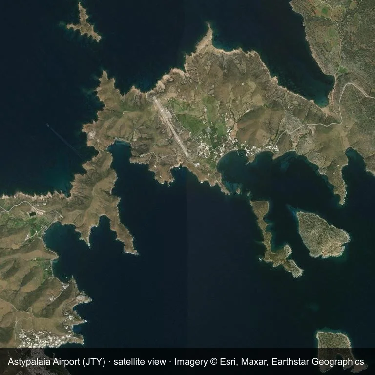
Satellite view: the airfield at Astypalaia Airport (JTY) surrounded by a patchwork of vegetation and open ground.
Source: Esri World Imagery (© Esri, Maxar, Earthstar Geographics); attribution is in the image. This is an overhead view, not a ground-level photograph.
Airport at a glance
| Item | Detail |
|---|---|
| IATA / ICAO | JTY / LGPL |
| Role | small airport |
| Elevation | about 50 m |
| Coordinates | 36.5799, 26.3758 |
| Runways | 1, longest 989 m |
| Non-stop destinations | 0 in the 2014 snapshot |
Runways
| Runway | Length | Surface |
|---|---|---|
| 15/33 | 989 m | ASP |
Why there is no route table
JTY has an empty route table in the 2014 snapshot. The dataset only covers services it recorded, so treat the blank as a gap rather than a closure notice.
Nearby airports
| Airport | Distance | Non-stop destinations |
|---|---|---|
| Kos International Airport "Ippokratis" (KGS) | ~68.1 km | 24 |
| Santorini International Airport (JTR) | ~82.7 km | 10 |
| Mykonos Island National Airport (JMK) | ~132 km | 9 |
Getting there and navigating
- Coordinates: 36.5799, 26.3758
- Open in a map: Google Maps | Amap | Baidu Maps
The map shows the field in its local road context. This page does not cover terminal links or local transport; confirm those with the operator.
Using this airport
Astypalaia Airport sits in Greece, where a patchwork of vegetation and open ground surrounds the field. Runway 15/33 runs northwest–southeast, with 989 m of asphalt at an elevation of about 50 m.
Operationally, 989 m of asphalt places the field in the turboprop and light-jet bracket. The paved surface supports regular operations, though it does not imply scheduled service. Kos International Airport "Ippokratis" is the closest alternative, 68.1 km away, with 24 destinations in the same snapshot.
The 2014 route record is empty. For a planned trip, begin with Kos International Airport "Ippokratis" or another airport with a recorded schedule, then check locally whether a charter can use this field.
Before you fly
- The 989 m runway limits operations to small aircraft; baggage and payload limits are usually strict.
- The runway is paved, which supports year-round operations, but scheduled service is still not guaranteed.
- Kos International Airport "Ippokratis" is 68.1 km away with 24 destinations in the 2014 snapshot, making it the nearest alternative for a scheduled flight.
- Ask the operator about customs, fuel and handling before booking; services at fields this size are not always available on demand.
- Treat this as a general-aviation or charter field rather than a large terminal; confirm handling and opening hours in advance.
About the data
OurAirports supplies the runway, elevation and coordinate figures. The 2014 OpenFlights snapshot supplies the route list; both are reference data, not live operational information.
読者コメントディスカッション
質問、旅行記、訂正など、お気軽にお寄せください。コメントは公開されます。
読み込み中…
コメントを読み込み中…