
Astypalaia Airport
 Astypalaia · Греция· Astypalaia Airport
Astypalaia Airport (IATA: JTY, ICAO LGPL) — малый аэропорт в городе Astypalaia, Греция.
Astypalaia Airport is a small airport, at an elevation of about 165 ft, with scheduled passenger service. This page gathers its location map, airport codes and travel information.
Скачать карты аэропортаЗагрузки
Фотографии аэропортаФото аэропорта
Реальные фотографии этого аэропорта; у каждой указан источник — общедоступная веб-страница. Авторские права принадлежат фотографам. Нажмите на фото, чтобы увеличить, или на подпись, чтобы открыть источник.
На спутниковом снимке аэропорт Астипалея (JTY) сливается с окружающей водой и береговой линией.
Белый терминал с плоской крышей тянется вдоль гравийной площадки, в его правом конце — округлый башенный блок, впереди припаркованы багажные тележки.
В сумерках полоса и изгибы рулёжной дорожки огибают низкий белый терминал, дальше спокойное море и тёмный мыс.
Путешественник поднимает посадочные талоны и паспорт на перроне, позади в низком солнце стоит двухмоторный турбовинтовой самолёт.
Жёлтая дуга изгибается по пустому перрону к небольшому белому терминалу, кабина диспетчерской вышки встроена в его угол под ясным небом.
С воздуха единственная полоса лежит вдоль полуострова, вдающегося в глубокую синюю воду, терминал прижат к её середине.
Astypalaia Airport: рейсы — вылеты и прилётыТабло рейсов
6 номеров рейсов у 2 авиакомпаний по 2 направлениям, с разбивкой по направлению. Номера код-шеринга также включены.
| Рейс | Авиакомпания | Направление | Страна/регион |
|---|---|---|---|
| EY6726 | Etihad Airways | Международный аэропорт Афин | Греция |
| GQ11 | Sky Express | Международный аэропорт Афин | Греция |
| GQ71 | Sky Express | LRS |
Номера рейсов и маршруты из индекса рейсов aviability.com (снимок 26 октября 2026 г.); номера код-шеринга включены, время вылета не указано. Источник: aviability.com ↗
Информация об аэропортеСведения об аэропорте
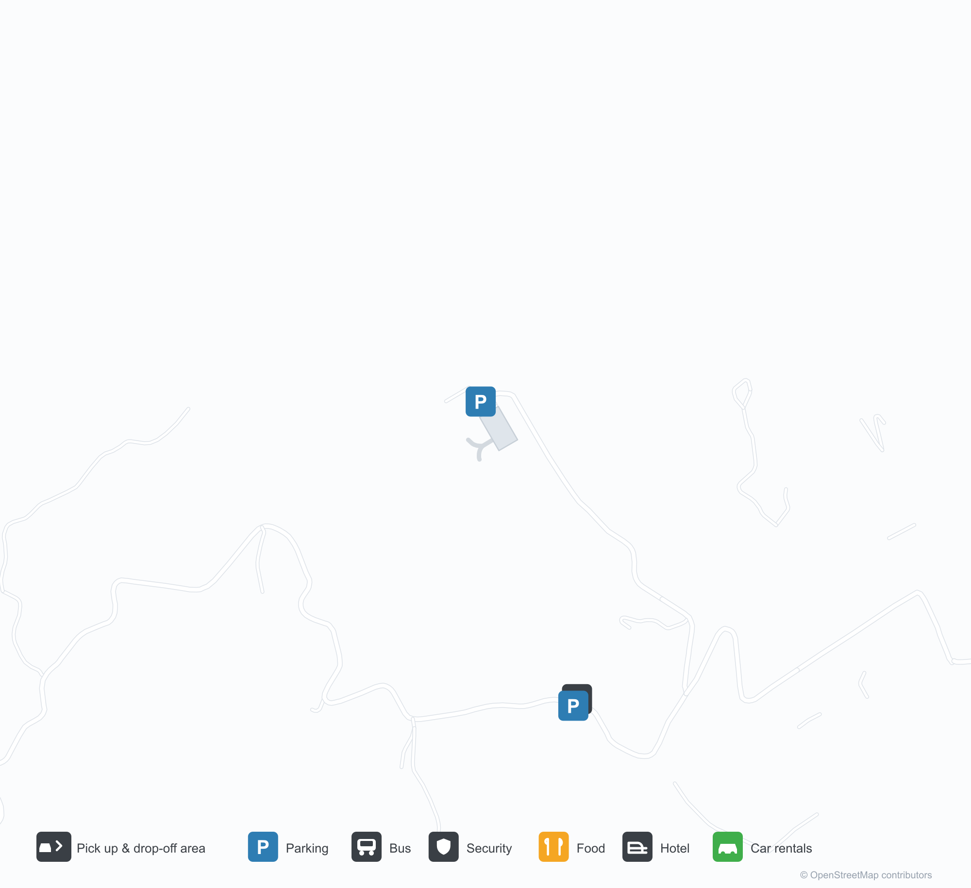
Интерактивная карта: Astypalaia AirportИнтерактивная карта
Посмотреть этот аэропорт на других картографических сервисах:
Astypalaia Airport (JTY) Guide: No scheduled services on recordПутеводитель по аэропорту
From above, Astypalaia Airport (JTY) sits among a patchwork of vegetation and open ground in Greece. The airport is about 50 m above sea level and has a single 989 m runway; its 2014 route table is empty. The nearest airport is Kos International Airport "Ippokratis" (68.1 km).
Satellite view
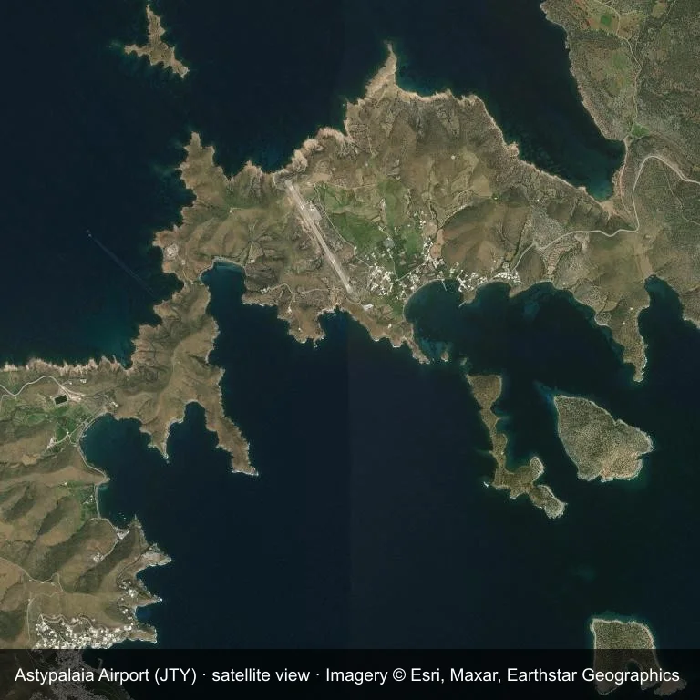
Satellite view: the airfield at Astypalaia Airport (JTY) surrounded by a patchwork of vegetation and open ground.
Source: Esri World Imagery (© Esri, Maxar, Earthstar Geographics); attribution is in the image. This is an overhead view, not a ground-level photograph.
Airport at a glance
| Item | Detail |
|---|---|
| IATA / ICAO | JTY / LGPL |
| Role | small airport |
| Elevation | about 50 m |
| Coordinates | 36.5799, 26.3758 |
| Runways | 1, longest 989 m |
| Non-stop destinations | 0 in the 2014 snapshot |
Runways
| Runway | Length | Surface |
|---|---|---|
| 15/33 | 989 m | ASP |
Why there is no route table
JTY has an empty route table in the 2014 snapshot. The dataset only covers services it recorded, so treat the blank as a gap rather than a closure notice.
Nearby airports
| Airport | Distance | Non-stop destinations |
|---|---|---|
| Kos International Airport "Ippokratis" (KGS) | ~68.1 km | 24 |
| Santorini International Airport (JTR) | ~82.7 km | 10 |
| Mykonos Island National Airport (JMK) | ~132 km | 9 |
Getting there and navigating
- Coordinates: 36.5799, 26.3758
- Open in a map: Google Maps | Amap | Baidu Maps
The map shows the field in its local road context. This page does not cover terminal links or local transport; confirm those with the operator.
Using this airport
Astypalaia Airport sits in Greece, where a patchwork of vegetation and open ground surrounds the field. Runway 15/33 runs northwest–southeast, with 989 m of asphalt at an elevation of about 50 m.
Operationally, 989 m of asphalt places the field in the turboprop and light-jet bracket. The paved surface supports regular operations, though it does not imply scheduled service. Kos International Airport "Ippokratis" is the closest alternative, 68.1 km away, with 24 destinations in the same snapshot.
The 2014 route record is empty. For a planned trip, begin with Kos International Airport "Ippokratis" or another airport with a recorded schedule, then check locally whether a charter can use this field.
Before you fly
- The 989 m runway limits operations to small aircraft; baggage and payload limits are usually strict.
- The runway is paved, which supports year-round operations, but scheduled service is still not guaranteed.
- Kos International Airport "Ippokratis" is 68.1 km away with 24 destinations in the 2014 snapshot, making it the nearest alternative for a scheduled flight.
- Ask the operator about customs, fuel and handling before booking; services at fields this size are not always available on demand.
- Treat this as a general-aviation or charter field rather than a large terminal; confirm handling and opening hours in advance.
About the data
OurAirports supplies the runway, elevation and coordinate figures. The 2014 OpenFlights snapshot supplies the route list; both are reference data, not live operational information.
Комментарии читателейОбсуждение
Вопросы, отчёты о поездках и исправления приветствуются. Комментарии видны всем.
Загрузка…
Загрузка комментариев…