
California Redwood Coast-Humboldt County Airport
 Arcata · ABD· California Redwood Coast-Humboldt County Airport
California Redwood Coast-Humboldt County Airport (IATA: ACV, ICAO KACV), Arcata, ABD kentine hizmet veren bir orta büyüklükte havalimanıdır.
California Redwood Coast-Humboldt County Airport is a medium-sized airport, at an elevation of about 221 ft, with scheduled passenger service. This page gathers its location map, airport codes and travel information.
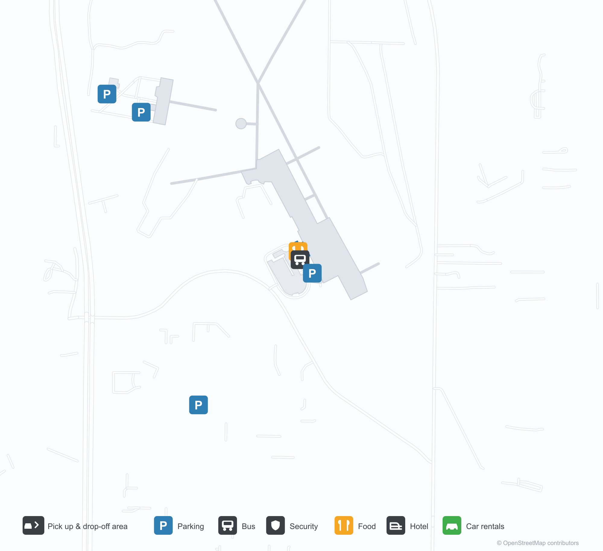
Havalimanı Haritalarını İndirinİndirmeler
Havalimanı fotoğraflarıHavalimanı Fotoğrafları
Bu havalimanının gerçek fotoğrafları; her fotoğrafın altında, fotoğrafın bulunduğu kamuya açık web sayfasına bir atıf yer alır ve telif hakkı özgün fotoğrafçılarda kalır. Yakınlaştırmak için bir fotoğrafa, kaynak sayfasını açmak için bir atıf satırına tıklayın.
Terminalin dış duvarındaki 'ARCATA – EUREKA AIRPORT' yazısı, havalimanının hizmet ettiği iki şehri adlandırıyor.
Havaalanının yanında: trafik hangarların önünden geçerken hafif bir pervaneli uçak pistin üzerinden tırmanıyor.
California Redwood Coast-Humboldt County Airport rota haritası — doğrudan varış noktalarıRota Haritası
3 doğrudan varış noktası: harita, sefer yapan havayolu şirketleri ve mesafeler.
California Redwood Coast-Humboldt County Airport uçuşları — kalkışlar ve varışlarUçuş Panosu
80 uçuş numarası, 7 havayolu şirketi ve 6 varış noktası, yönlere göre ayrılmıştır. Ortak uçuş numaraları dahildir.
| Uçuş | Havayolu şirketi | Varış noktası | Ülke/bölge |
|---|---|---|---|
| AS3033 | Alaska Airlines | Seattle-Tacoma Uluslararası Havalimanı | ABD |
| AS3117 | Alaska Airlines | Seattle-Tacoma Uluslararası Havalimanı | ABD |
| AS3412 | Alaska Airlines | Seattle-Tacoma Uluslararası Havalimanı | ABD |
| AV2046 | Avianca | San Francisco Uluslararası Havalimanı | ABD |
| CM1049 | Copa Airlines | San Francisco Uluslararası Havalimanı | ABD |
| CM2469 | Copa Airlines | San Francisco Uluslararası Havalimanı | ABD |
| CM2470 | Copa Airlines | San Francisco Uluslararası Havalimanı | ABD |
| MX651 | Breeze Airways | Burbank (BUR) Hollywood Burbank/Bob Hope Airport | ABD |
| MX653 | Breeze Airways | Harry Reid International Airport | ABD |
| NZ2784 | Air New Zealand | Los Angeles Uluslararası Havalimanı | ABD |
| NZ9318 | Air New Zealand | San Francisco Uluslararası Havalimanı | ABD |
| NZ9338 | Air New Zealand | San Francisco Uluslararası Havalimanı | ABD |
| NZ9363 | Air New Zealand | San Francisco Uluslararası Havalimanı | ABD |
| UA214 | United Airlines | Los Angeles Uluslararası Havalimanı | ABD |
| UA217 | United Airlines | San Francisco Uluslararası Havalimanı | ABD |
| UA293 | United Airlines | San Francisco Uluslararası Havalimanı | ABD |
| UA298 | United Airlines | San Francisco Uluslararası Havalimanı | ABD |
| UA324 | United Airlines | Los Angeles Uluslararası Havalimanı | ABD |
| UA733 | United Airlines | San Francisco Uluslararası Havalimanı | ABD |
| UA1578 | United Airlines | San Francisco Uluslararası Havalimanı | ABD |
Uçuş numaraları ve rotalar aviability.com uçuş dizininden (anlık görüntü: 26 Ekim 2026); ortak uçuş numaraları dahildir ve kalkış saatleri gösterilmez. Kaynak: aviability.com ↗
Havalimanı bilgileri ve ayrıntılarıHavalimanı Ayrıntıları
Etkileşimli harita — California Redwood Coast-Humboldt County Airport konumuEtkileşimli Harita
Bu havalimanını diğer harita hizmetlerinde görüntüleyin:
California Redwood Coast Airport (ACV): One Airport for Two CitiesHavalimanı Rehberi
The airport writes the two cities it serves on the wall: "ARCATA – EUREKA AIRPORT". Another photo shows traffic on the road past the hangars as a small prop aircraft climbs away from the runway. The field serves Arcata, California, at an elevation of about 67 m, with two runways up to 1,843 m; the 2014 snapshot records three domestic destinations, from Crescent City at 90 km to San Francisco at 402 km, all listed for United Airlines.
Airport photos
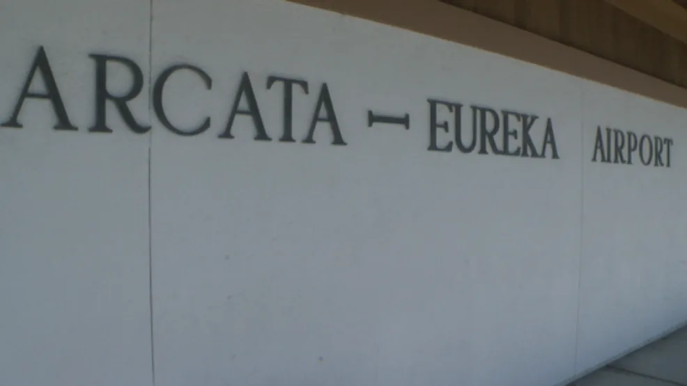
The 'ARCATA – EUREKA AIRPORT' lettering on the terminal's outer wall, naming both cities the airport serves.
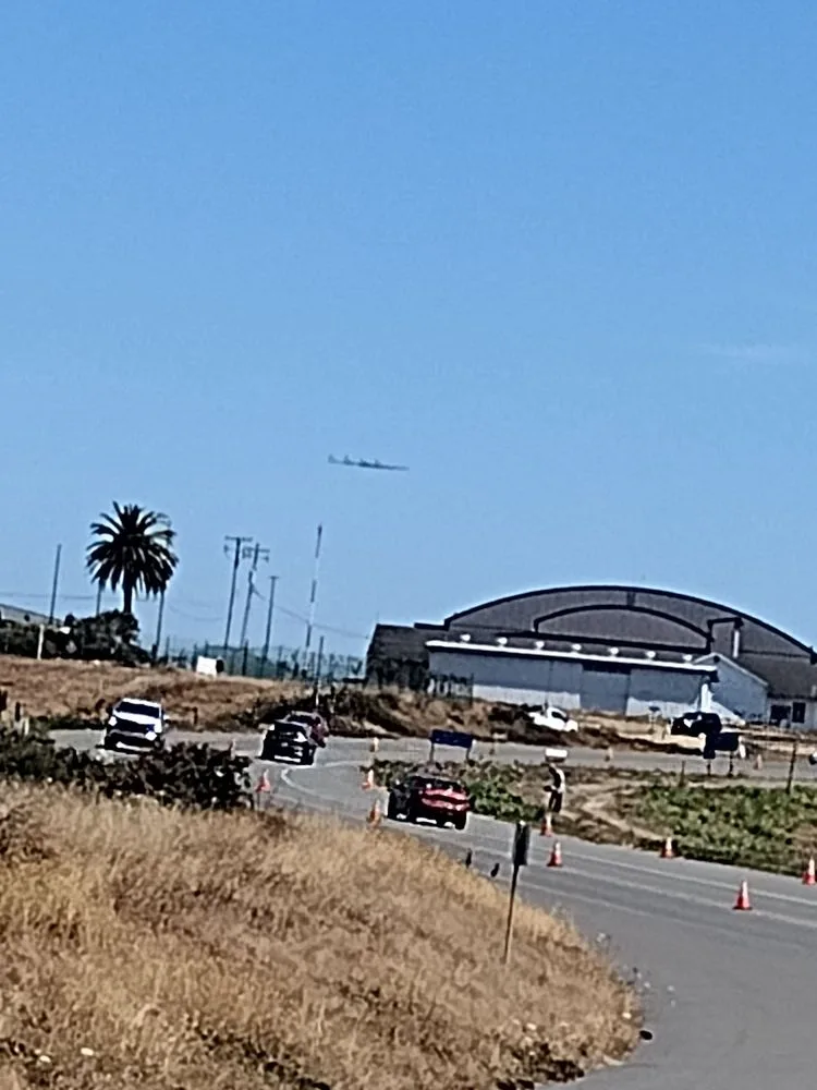
Beside the airfield: traffic passing the hangars while a light propeller plane climbs out over the runway.
The photos come from public web sources and remain the copyright of their photographers; full credits and source links sit in the photo gallery on this page.
Airport at a glance
| Item | Detail |
|---|---|
| IATA / ICAO | ACV / KACV |
| Role | Medium-sized airport |
| Elevation | about 67 m |
| Coordinates | 40.9781, -124.1090 |
| Runways | 2, longest 1,843 m |
| Non-stop destinations | 3 (2014 snapshot, all domestic US) |
| Official site | flyacv.com |
Runways
| Runway | Length | Width | Surface |
|---|---|---|---|
| 14/32 | 1,843 m | 46 m | asphalt |
| 01/19 | 1,372 m | 46 m | asphalt |
2 runways, the longest 1,843 m.
Non-stop routes
3 non-stop destinations, nearest first (OpenFlights route snapshot compiled in 2014 — confirm with the airline or airport):
| Destination | Distance | Carriers |
|---|---|---|
| Jack Mc Namara Field Airport (CEC) | ~90 km | United Airlines |
| Sacramento International Airport (SMF) | ~333 km | United Airlines |
| San Francisco International Airport (SFO) | ~402 km | United Airlines |
The carrier column comes from the same snapshot and includes codeshare and interline services; treat it as an indication of how busy the route is and check the airline for who actually flies it.
Nearby airports to compare
If the fares are close, these are the nearest airports of the same class (medium-sized airport) — straight-line distance, with their own non-stop counts from the same dataset:
| Airport | Distance | Non-stop destinations |
|---|---|---|
| Abbotsford International Airport (YXX) | ~905 km | 2 |
| Anahim Lake Airport (YAA) | ~1,279 km | 1 |
Before you fly
- With three domestic routes, 90–120 minutes is usually enough; coastal fog can affect early flights.
- The airport serves both Arcata and Eureka, so check the destination code and ground connections when booking.
About the data
Runways, elevation and coordinates come from OurAirports open data. Routes and carriers come from the June 2014 OpenFlights snapshot and include codeshares and interline services; they indicate network shape and scale, not current schedules.
History
Built by the U.S. Navy during World War II to test aircraft de-fogging systems, the field saw a Southwest Airways DC-3 make an early landmark blind landing in December 1947. It sits in McKinleyville, 24 km north of Eureka, and is a federally designated port of entry.
Source: Arcata Airport.
Okuyucu yorumlarıTartışma
Sorular, seyahat deneyimleri ve düzeltmeler memnuniyetle karşılanır. Yorumlar herkese açıktır.
Yükleniyor…
Yorumlar yükleniyor…