
California Redwood Coast-Humboldt County Airport
 Arcata · สหรัฐอเมริกา· California Redwood Coast-Humboldt County Airport
California Redwood Coast-Humboldt County Airport (IATA: ACV, ICAO KACV) เป็นสนามบินขนาดกลางที่ให้บริการArcata, สหรัฐอเมริกา
California Redwood Coast-Humboldt County Airport is a medium-sized airport, at an elevation of about 221 ft, with scheduled passenger service. This page gathers its location map, airport codes and travel information.
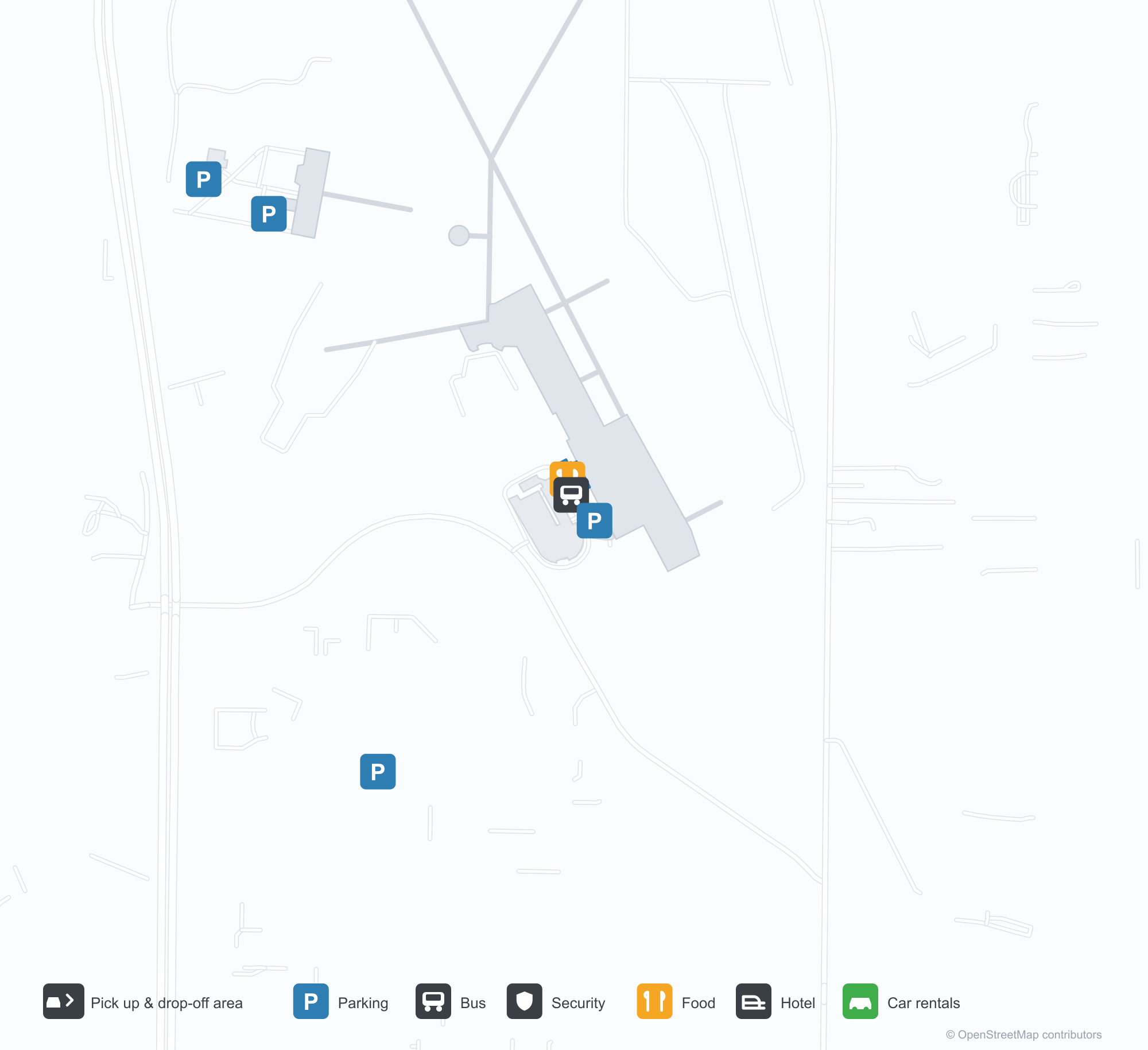
ดาวน์โหลดแผนที่สนามบินดาวน์โหลด
ภาพสนามบินภาพสนามบิน
ภาพจริงของสนามบินแห่งนี้ พร้อมเครดิตของหน้าเว็บสาธารณะที่พบภาพ; ลิขสิทธิ์ยังเป็นของผู้ถ่ายภาพต้นฉบับ คลิกที่ภาพเพื่อขยาย หรือคลิกบรรทัดเครดิตเพื่อเปิดหน้าแหล่งที่มา
ตัวอักษร 'ARCATA – EUREKA AIRPORT' บนผนังด้านนอกอาคารผู้โดยสาร ระบุชื่อทั้งสองเมืองที่สนามบินให้บริการ
ข้างสนามบิน: การจราจรผ่านหน้าโรงเก็บอากาศยาน ขณะที่เครื่องบินใบพัดเบาไต่ขึ้นเหนือทางวิ่ง
แผนที่เส้นทาง California Redwood Coast-Humboldt County Airport — จุดหมายบินตรงแผนที่เส้นทาง
3 จุดหมายบินตรง: แผนที่ สายการบินที่ให้บริการ และระยะทาง
เที่ยวบินของCalifornia Redwood Coast-Humboldt County Airport — ขาออกและขาเข้าป้ายเที่ยวบิน
80 หมายเลขเที่ยวบิน ครอบคลุม 7 สายการบิน และ 6 จุดหมายปลายทาง แยกตามทิศทาง หมายเลขเที่ยวบินร่วม (codeshare) รวมอยู่ด้วย
| เที่ยวบิน | สายการบิน | จุดหมายปลายทาง | ประเทศ/ภูมิภาค |
|---|---|---|---|
| AS3033 | Alaska Airlines | ท่าอากาศยานนานาชาติซีแอตเทิล-ทาโคมา | สหรัฐอเมริกา |
| AS3117 | Alaska Airlines | ท่าอากาศยานนานาชาติซีแอตเทิล-ทาโคมา | สหรัฐอเมริกา |
| AS3412 | Alaska Airlines | ท่าอากาศยานนานาชาติซีแอตเทิล-ทาโคมา | สหรัฐอเมริกา |
| AV2046 | Avianca | ท่าอากาศยานนานาชาติซานฟรานซิสโก | สหรัฐอเมริกา |
| CM1049 | Copa Airlines | ท่าอากาศยานนานาชาติซานฟรานซิสโก | สหรัฐอเมริกา |
| CM2469 | Copa Airlines | ท่าอากาศยานนานาชาติซานฟรานซิสโก | สหรัฐอเมริกา |
| CM2470 | Copa Airlines | ท่าอากาศยานนานาชาติซานฟรานซิสโก | สหรัฐอเมริกา |
| MX651 | Breeze Airways | Burbank (BUR) Hollywood Burbank/Bob Hope Airport | สหรัฐอเมริกา |
| MX653 | Breeze Airways | Harry Reid International Airport | สหรัฐอเมริกา |
| NZ2784 | Air New Zealand | ท่าอากาศยานนานาชาติลอสแอนเจลิส | สหรัฐอเมริกา |
| NZ9318 | Air New Zealand | ท่าอากาศยานนานาชาติซานฟรานซิสโก | สหรัฐอเมริกา |
| NZ9338 | Air New Zealand | ท่าอากาศยานนานาชาติซานฟรานซิสโก | สหรัฐอเมริกา |
| NZ9363 | Air New Zealand | ท่าอากาศยานนานาชาติซานฟรานซิสโก | สหรัฐอเมริกา |
| UA214 | United Airlines | ท่าอากาศยานนานาชาติลอสแอนเจลิส | สหรัฐอเมริกา |
| UA217 | United Airlines | ท่าอากาศยานนานาชาติซานฟรานซิสโก | สหรัฐอเมริกา |
| UA293 | United Airlines | ท่าอากาศยานนานาชาติซานฟรานซิสโก | สหรัฐอเมริกา |
| UA298 | United Airlines | ท่าอากาศยานนานาชาติซานฟรานซิสโก | สหรัฐอเมริกา |
| UA324 | United Airlines | ท่าอากาศยานนานาชาติลอสแอนเจลิส | สหรัฐอเมริกา |
| UA733 | United Airlines | ท่าอากาศยานนานาชาติซานฟรานซิสโก | สหรัฐอเมริกา |
| UA1578 | United Airlines | ท่าอากาศยานนานาชาติซานฟรานซิสโก | สหรัฐอเมริกา |
หมายเลขเที่ยวบินและเส้นทางจากดัชนีเที่ยวบิน aviability.com (ข้อมูล ณ วันที่ 26 ตุลาคม 2569); รวมหมายเลขเที่ยวบินร่วมและไม่แสดงเวลาเดินทาง ที่มา: aviability.com ↗
ข้อมูลและรายละเอียดสนามบินรายละเอียดสนามบิน
แผนที่อินเทอร์แอกทีฟ — ตำแหน่ง California Redwood Coast-Humboldt County Airportแผนที่อินเทอร์แอกทีฟ
ดูสนามบินนี้บนบริการแผนที่อื่น:
California Redwood Coast Airport (ACV): One Airport for Two Citiesคู่มือสนามบิน
The airport writes the two cities it serves on the wall: "ARCATA – EUREKA AIRPORT". Another photo shows traffic on the road past the hangars as a small prop aircraft climbs away from the runway. The field serves Arcata, California, at an elevation of about 67 m, with two runways up to 1,843 m; the 2014 snapshot records three domestic destinations, from Crescent City at 90 km to San Francisco at 402 km, all listed for United Airlines.
Airport photos
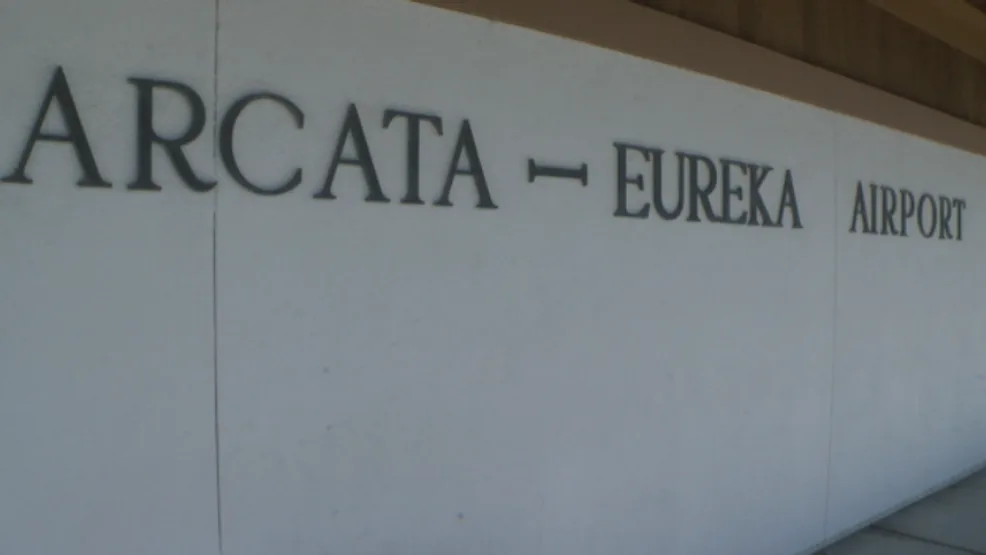
The 'ARCATA – EUREKA AIRPORT' lettering on the terminal's outer wall, naming both cities the airport serves.
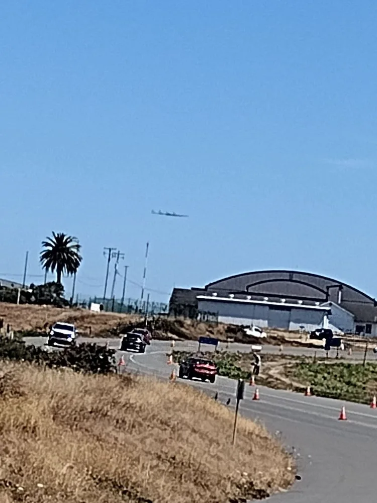
Beside the airfield: traffic passing the hangars while a light propeller plane climbs out over the runway.
The photos come from public web sources and remain the copyright of their photographers; full credits and source links sit in the photo gallery on this page.
Airport at a glance
| Item | Detail |
|---|---|
| IATA / ICAO | ACV / KACV |
| Role | Medium-sized airport |
| Elevation | about 67 m |
| Coordinates | 40.9781, -124.1090 |
| Runways | 2, longest 1,843 m |
| Non-stop destinations | 3 (2014 snapshot, all domestic US) |
| Official site | flyacv.com |
Runways
| Runway | Length | Width | Surface |
|---|---|---|---|
| 14/32 | 1,843 m | 46 m | asphalt |
| 01/19 | 1,372 m | 46 m | asphalt |
2 runways, the longest 1,843 m.
Non-stop routes
3 non-stop destinations, nearest first (OpenFlights route snapshot compiled in 2014 — confirm with the airline or airport):
| Destination | Distance | Carriers |
|---|---|---|
| Jack Mc Namara Field Airport (CEC) | ~90 km | United Airlines |
| Sacramento International Airport (SMF) | ~333 km | United Airlines |
| San Francisco International Airport (SFO) | ~402 km | United Airlines |
The carrier column comes from the same snapshot and includes codeshare and interline services; treat it as an indication of how busy the route is and check the airline for who actually flies it.
Nearby airports to compare
If the fares are close, these are the nearest airports of the same class (medium-sized airport) — straight-line distance, with their own non-stop counts from the same dataset:
| Airport | Distance | Non-stop destinations |
|---|---|---|
| Abbotsford International Airport (YXX) | ~905 km | 2 |
| Anahim Lake Airport (YAA) | ~1,279 km | 1 |
Before you fly
- With three domestic routes, 90–120 minutes is usually enough; coastal fog can affect early flights.
- The airport serves both Arcata and Eureka, so check the destination code and ground connections when booking.
About the data
Runways, elevation and coordinates come from OurAirports open data. Routes and carriers come from the June 2014 OpenFlights snapshot and include codeshares and interline services; they indicate network shape and scale, not current schedules.
History
Built by the U.S. Navy during World War II to test aircraft de-fogging systems, the field saw a Southwest Airways DC-3 make an early landmark blind landing in December 1947. It sits in McKinleyville, 24 km north of Eureka, and is a federally designated port of entry.
Source: Arcata Airport.
ความคิดเห็นจากผู้อ่านการสนทนา
ยินดีรับคำถาม รายงานการเดินทาง และการแก้ไข ความคิดเห็นเป็นสาธารณะ
กำลังโหลด…
กำลังโหลดความคิดเห็น…