
California Redwood Coast-Humboldt County Airport
 Arcata · 미국· California Redwood Coast-Humboldt County Airport
California Redwood Coast-Humboldt County Airport(IATA: ACV, ICAO: KACV)은 미국 Arcata에 위치한 중형 공항입니다.
California Redwood Coast-Humboldt County Airport is a medium-sized airport, at an elevation of about 221 ft, with scheduled passenger service. This page gathers its location map, airport codes and travel information.
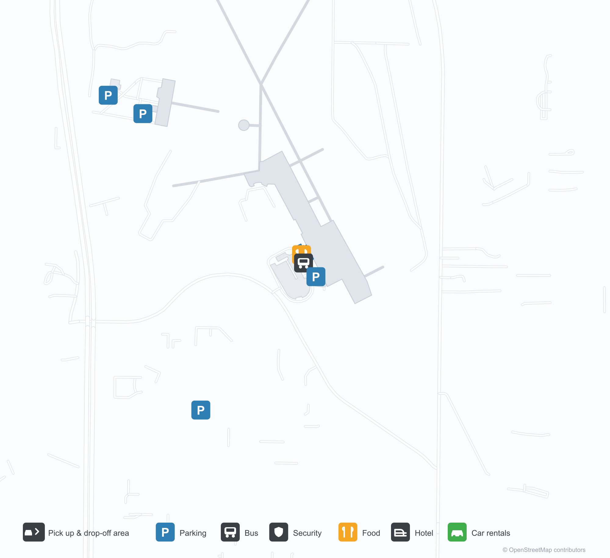
공항 지도 다운로드다운로드
공항 실제 사진공항 사진
다음은 이 공항의 실제 사진으로, 모두 공개된 인터넷 출처에서 가져왔으며 사진마다 출처를 표시했습니다. 저작권은 원저작자에게 있습니다. 사진을 클릭하면 크게 볼 수 있고, 출처를 클릭하면 원본 페이지가 열립니다.
터미널 외벽의 'ARCATA – EUREKA AIRPORT' 글자, 공항이 취항하는 두 도시의 이름.
비행장 옆: 격납고를 지나는 차량들, 활주로 위로 상승해 나가는 경비행기.
California Redwood Coast-Humboldt County Airport 노선도 · 직항 목적지노선도
직항 목적지 3개: 노선도, 운항 항공사, 비행 거리.
공항 정보 및 상세공항 상세
California Redwood Coast-Humboldt County Airport 인터랙티브 지도 — 공항 위치인터랙티브 지도
다른 지도 서비스에서 이 공항 보기:
California Redwood Coast Airport (ACV): One Airport for Two Cities공항 안내
The airport writes the two cities it serves on the wall: "ARCATA – EUREKA AIRPORT". Another photo shows traffic on the road past the hangars as a small prop aircraft climbs away from the runway. The field serves Arcata, California, at an elevation of about 67 m, with two runways up to 1,843 m; the 2014 snapshot records three domestic destinations, from Crescent City at 90 km to San Francisco at 402 km, all listed for United Airlines.
Airport photos
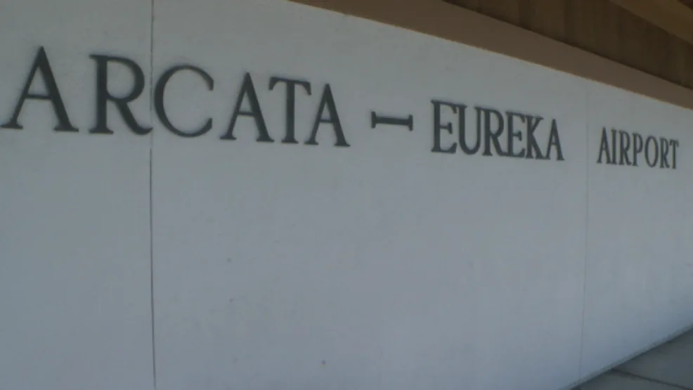
The 'ARCATA – EUREKA AIRPORT' lettering on the terminal's outer wall, naming both cities the airport serves.
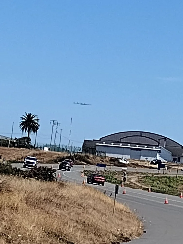
Beside the airfield: traffic passing the hangars while a light propeller plane climbs out over the runway.
The photos come from public web sources and remain the copyright of their photographers; full credits and source links sit in the photo gallery on this page.
Airport at a glance
| Item | Detail |
|---|---|
| IATA / ICAO | ACV / KACV |
| Role | Medium-sized airport |
| Elevation | about 67 m |
| Coordinates | 40.9781, -124.1090 |
| Runways | 2, longest 1,843 m |
| Non-stop destinations | 3 (2014 snapshot, all domestic US) |
| Official site | flyacv.com |
Runways
| Runway | Length | Width | Surface |
|---|---|---|---|
| 14/32 | 1,843 m | 46 m | asphalt |
| 01/19 | 1,372 m | 46 m | asphalt |
2 runways, the longest 1,843 m.
Non-stop routes
3 non-stop destinations, nearest first (OpenFlights route snapshot compiled in 2014 — confirm with the airline or airport):
| Destination | Distance | Carriers |
|---|---|---|
| Jack Mc Namara Field Airport (CEC) | ~90 km | United Airlines |
| Sacramento International Airport (SMF) | ~333 km | United Airlines |
| San Francisco International Airport (SFO) | ~402 km | United Airlines |
The carrier column comes from the same snapshot and includes codeshare and interline services; treat it as an indication of how busy the route is and check the airline for who actually flies it.
Nearby airports to compare
If the fares are close, these are the nearest airports of the same class (medium-sized airport) — straight-line distance, with their own non-stop counts from the same dataset:
| Airport | Distance | Non-stop destinations |
|---|---|---|
| Abbotsford International Airport (YXX) | ~905 km | 2 |
| Anahim Lake Airport (YAA) | ~1,279 km | 1 |
Before you fly
- With three domestic routes, 90–120 minutes is usually enough; coastal fog can affect early flights.
- The airport serves both Arcata and Eureka, so check the destination code and ground connections when booking.
About the data
Runways, elevation and coordinates come from OurAirports open data. Routes and carriers come from the June 2014 OpenFlights snapshot and include codeshares and interline services; they indicate network shape and scale, not current schedules.
History
Built by the U.S. Navy during World War II to test aircraft de-fogging systems, the field saw a Southwest Airways DC-3 make an early landmark blind landing in December 1947. It sits in McKinleyville, 24 km north of Eureka, and is a federally designated port of entry.
Source: Arcata Airport.