
California Redwood Coast-Humboldt County Airport
 Arcata · アメリカ合衆国· California Redwood Coast-Humboldt County Airport
California Redwood Coast-Humboldt County Airport(IATA: ACV、ICAO: KACV)はArcata、アメリカ合衆国にある中型空港です。
California Redwood Coast-Humboldt County Airport is a medium-sized airport, at an elevation of about 221 ft, with scheduled passenger service. This page gathers its location map, airport codes and travel information.
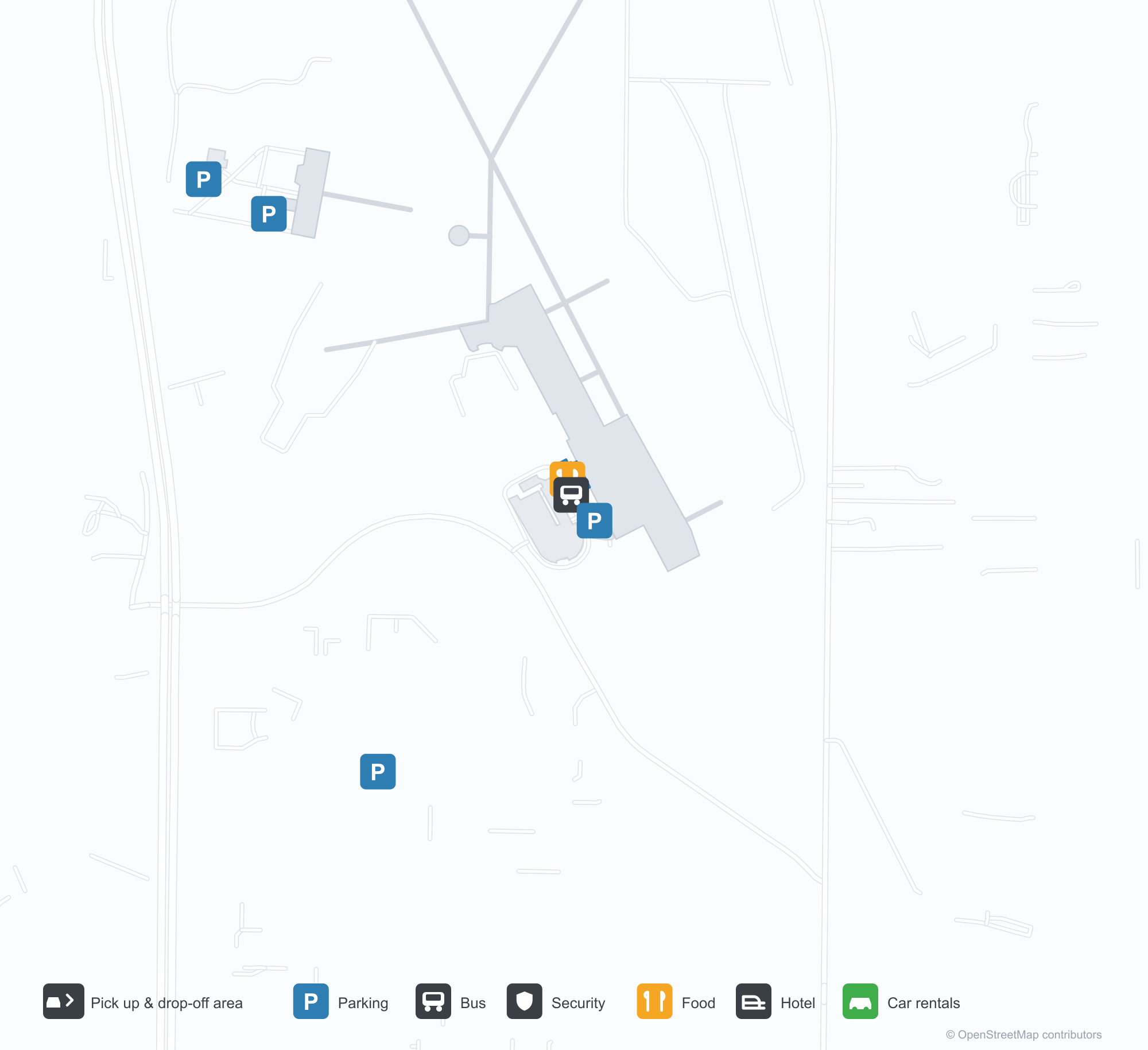
空港マップをダウンロードダウンロード
空港写真空港写真
この空港の実際の写真です。いずれも公開ウェブページを出典として明記しており、著作権は撮影者に帰属します。写真をクリックすると拡大表示され、クレジットをクリックすると元のページが開きます。
ターミナル外壁の「ARCATA – EUREKA AIRPORT」の文字。空港がサービスする両市の名が記されている。
飛行場のそば:格納庫の前を車が通り過ぎ、軽飛行機が滑走路の上へ上昇していく。
California Redwood Coast-Humboldt County Airportの路線マップ — 直行便の目的地路線マップ
直行目的地3か所。地図、就航航空会社、距離を掲載しています。
California Redwood Coast-Humboldt County Airport発着便 — 出発と到着フライトボード
便名80件、7社の航空会社、6か所の目的地を出発・到着別に掲載しています。コードシェア便も含みます。
| 便 | 航空会社 | 目的地 | 国・地域 |
|---|---|---|---|
| AS3033 | Alaska Airlines | シアトル=タコマ国際空港 | アメリカ合衆国 |
| AS3117 | Alaska Airlines | シアトル=タコマ国際空港 | アメリカ合衆国 |
| AS3412 | Alaska Airlines | シアトル=タコマ国際空港 | アメリカ合衆国 |
| AV2046 | Avianca | サンフランシスコ国際空港 | アメリカ合衆国 |
| CM1049 | Copa Airlines | サンフランシスコ国際空港 | アメリカ合衆国 |
| CM2469 | Copa Airlines | サンフランシスコ国際空港 | アメリカ合衆国 |
| CM2470 | Copa Airlines | サンフランシスコ国際空港 | アメリカ合衆国 |
| MX651 | Breeze Airways | Burbank (BUR) Hollywood Burbank/Bob Hope Airport | アメリカ合衆国 |
| MX653 | Breeze Airways | Harry Reid International Airport | アメリカ合衆国 |
| NZ2784 | Air New Zealand | ロサンゼルス国際空港 | アメリカ合衆国 |
| NZ9318 | Air New Zealand | サンフランシスコ国際空港 | アメリカ合衆国 |
| NZ9338 | Air New Zealand | サンフランシスコ国際空港 | アメリカ合衆国 |
| NZ9363 | Air New Zealand | サンフランシスコ国際空港 | アメリカ合衆国 |
| UA214 | United Airlines | ロサンゼルス国際空港 | アメリカ合衆国 |
| UA217 | United Airlines | サンフランシスコ国際空港 | アメリカ合衆国 |
| UA293 | United Airlines | サンフランシスコ国際空港 | アメリカ合衆国 |
| UA298 | United Airlines | サンフランシスコ国際空港 | アメリカ合衆国 |
| UA324 | United Airlines | ロサンゼルス国際空港 | アメリカ合衆国 |
| UA733 | United Airlines | サンフランシスコ国際空港 | アメリカ合衆国 |
| UA1578 | United Airlines | サンフランシスコ国際空港 | アメリカ合衆国 |
便名と路線はaviability.comのフライトインデックス(スナップショット:2026年10月26日)に基づきます。コードシェア便を含み、出発時刻は掲載していません。出典:aviability.com ↗
空港情報と詳細空港の詳細
インタラクティブマップ — California Redwood Coast-Humboldt County Airportの位置インタラクティブマップ
他の地図サービスでこの空港を見る:
California Redwood Coast Airport (ACV): One Airport for Two Cities空港ガイド
The airport writes the two cities it serves on the wall: "ARCATA – EUREKA AIRPORT". Another photo shows traffic on the road past the hangars as a small prop aircraft climbs away from the runway. The field serves Arcata, California, at an elevation of about 67 m, with two runways up to 1,843 m; the 2014 snapshot records three domestic destinations, from Crescent City at 90 km to San Francisco at 402 km, all listed for United Airlines.
Airport photos
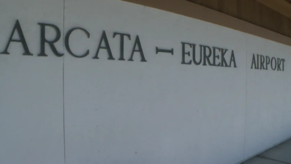
The 'ARCATA – EUREKA AIRPORT' lettering on the terminal's outer wall, naming both cities the airport serves.
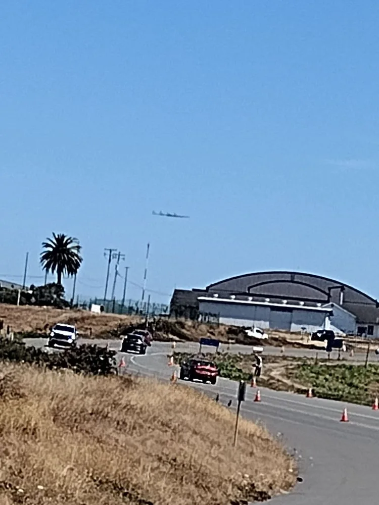
Beside the airfield: traffic passing the hangars while a light propeller plane climbs out over the runway.
The photos come from public web sources and remain the copyright of their photographers; full credits and source links sit in the photo gallery on this page.
Airport at a glance
| Item | Detail |
|---|---|
| IATA / ICAO | ACV / KACV |
| Role | Medium-sized airport |
| Elevation | about 67 m |
| Coordinates | 40.9781, -124.1090 |
| Runways | 2, longest 1,843 m |
| Non-stop destinations | 3 (2014 snapshot, all domestic US) |
| Official site | flyacv.com |
Runways
| Runway | Length | Width | Surface |
|---|---|---|---|
| 14/32 | 1,843 m | 46 m | asphalt |
| 01/19 | 1,372 m | 46 m | asphalt |
2 runways, the longest 1,843 m.
Non-stop routes
3 non-stop destinations, nearest first (OpenFlights route snapshot compiled in 2014 — confirm with the airline or airport):
| Destination | Distance | Carriers |
|---|---|---|
| Jack Mc Namara Field Airport (CEC) | ~90 km | United Airlines |
| Sacramento International Airport (SMF) | ~333 km | United Airlines |
| San Francisco International Airport (SFO) | ~402 km | United Airlines |
The carrier column comes from the same snapshot and includes codeshare and interline services; treat it as an indication of how busy the route is and check the airline for who actually flies it.
Nearby airports to compare
If the fares are close, these are the nearest airports of the same class (medium-sized airport) — straight-line distance, with their own non-stop counts from the same dataset:
| Airport | Distance | Non-stop destinations |
|---|---|---|
| Abbotsford International Airport (YXX) | ~905 km | 2 |
| Anahim Lake Airport (YAA) | ~1,279 km | 1 |
Before you fly
- With three domestic routes, 90–120 minutes is usually enough; coastal fog can affect early flights.
- The airport serves both Arcata and Eureka, so check the destination code and ground connections when booking.
About the data
Runways, elevation and coordinates come from OurAirports open data. Routes and carriers come from the June 2014 OpenFlights snapshot and include codeshares and interline services; they indicate network shape and scale, not current schedules.
History
Built by the U.S. Navy during World War II to test aircraft de-fogging systems, the field saw a Southwest Airways DC-3 make an early landmark blind landing in December 1947. It sits in McKinleyville, 24 km north of Eureka, and is a federally designated port of entry.
Source: Arcata Airport.
読者コメントディスカッション
質問、旅行記、訂正など、お気軽にお寄せください。コメントは公開されます。
読み込み中…
コメントを読み込み中…