
Alcides Fernández Airport
 Acandí · โคลอมเบีย· Alcides Fernández Airport
Alcides Fernández Airport (IATA: ACD, ICAO SKAD) เป็นสนามบินขนาดเล็กที่ให้บริการAcandí, โคลอมเบีย
Alcides Fernández Airport is a small airport, at an elevation of about 50 ft. This page gathers its location map, airport codes and travel information.
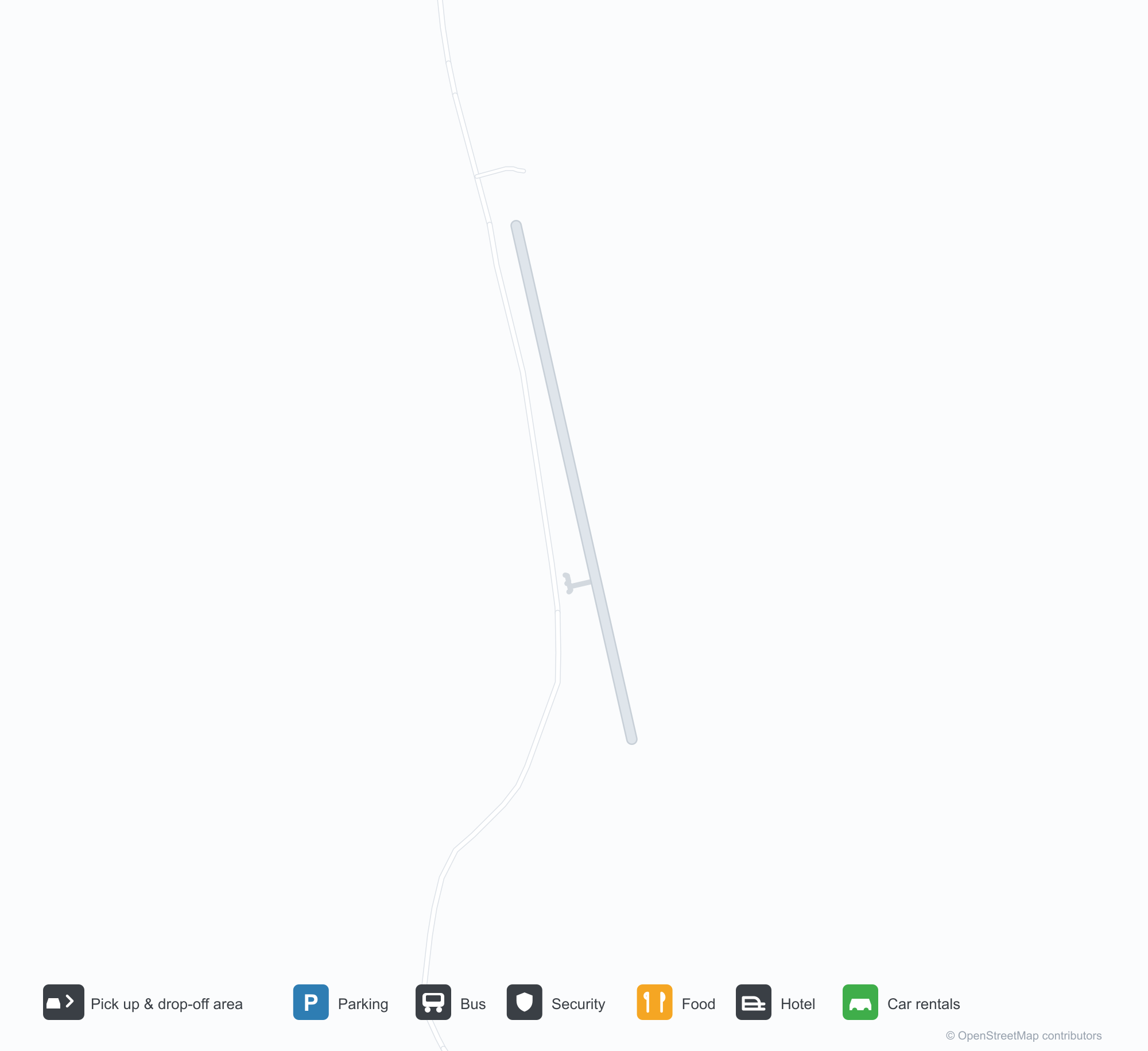
ดาวน์โหลดแผนที่สนามบินดาวน์โหลด
ภาพสนามบินภาพสนามบิน
ภาพจริงของสนามบินแห่งนี้ พร้อมเครดิตของหน้าเว็บสาธารณะที่พบภาพ; ลิขสิทธิ์ยังเป็นของผู้ถ่ายภาพต้นฉบับ คลิกที่ภาพเพื่อขยาย หรือคลิกบรรทัดเครดิตเพื่อเปิดหน้าแหล่งที่มา
สนามบินหญ้าของอากันดี (Acandí) — เครื่องบินเซสนาเล็ก ๆ บนลานกรวด อากาศยานอีกลำจอดอยู่บนหญ้า ล้อมรอบด้วยป่าฝนเขตร้อนและเนินเขาเตี้ย ๆ
เที่ยวบินของAlcides Fernández Airport — ขาออกและขาเข้าป้ายเที่ยวบิน
2 หมายเลขเที่ยวบิน ครอบคลุม 1 สายการบิน และ 1 จุดหมายปลายทาง แยกตามทิศทาง หมายเลขเที่ยวบินร่วม (codeshare) รวมอยู่ด้วย
| เที่ยวบิน | สายการบิน | จุดหมายปลายทาง | ประเทศ/ภูมิภาค |
|---|---|---|---|
| 9R8855 | Satena | Medellín (EOH) Enrique Olaya Herrera Airport | โคลอมเบีย |
หมายเลขเที่ยวบินและเส้นทางจากดัชนีเที่ยวบิน aviability.com (ข้อมูล ณ วันที่ 26 ตุลาคม 2569); รวมหมายเลขเที่ยวบินร่วมและไม่แสดงเวลาเดินทาง ที่มา: aviability.com ↗
ข้อมูลและรายละเอียดสนามบินรายละเอียดสนามบิน
แผนที่อินเทอร์แอกทีฟ — ตำแหน่ง Alcides Fernández Airportแผนที่อินเทอร์แอกทีฟ
ดูสนามบินนี้บนบริการแผนที่อื่น:
Acandí Airport (ACD): A Grass Strip in the Chocó Rainforestคู่มือสนามบิน
There is no terminal in the photo, only a grass-and-gravel strip: a Cessna parked on the gravel apron, another at the edge of the grass, tropical forest and distant hills around them. The field serves Acandí in Chocó, Colombia, at an elevation of about 15 m; OurAirports does not list its runway dimensions, and the 2014 snapshot records no scheduled routes.
Airport photos

Acandí's grass airfield — a small Cessna on the gravel apron, another aircraft parked in the grass, ringed by tropical forest and low hills.
The photos come from public web sources and remain the copyright of their photographers; full credits and source links sit in the photo gallery on this page.
Airport at a glance
| Item | Detail |
|---|---|
| IATA / ICAO | ACD / SKAD |
| Role | Small airport |
| Elevation | about 15 m |
| Coordinates | 8.4978, -77.2741 |
| Runways | Not listed in OurAirports |
| Non-stop destinations | 0 in the 2014 snapshot |
Runways
OurAirports does not list runway dimensions for this airport.
Non-stop routes
The route dataset carries no scheduled non-stop services for this airport. Regional schedules change often — confirm with the airline or airport before booking.
Nearby airports to compare
If the fares are close, these are the nearest airports of the same class (small airport) — straight-line distance, with their own non-stop counts from the same dataset:
| Airport | Distance | Non-stop destinations |
|---|---|---|
| Ahuas Airport (AHS) | ~1,092 km | — |
| Araracuara Airport (ACR) | ~1,147 km | — |
Before you fly
- Small aircraft and charters dominate; runway conditions and weather matter, so contact the operator directly.
- The Chocó is very wet; pack for rain and have a backup plan for disrupted flights.
About the data
Runways, elevation and coordinates come from OurAirports open data. Routes and carriers come from the June 2014 OpenFlights snapshot and include codeshares and interline services; they indicate network shape and scale, not current schedules.
ความคิดเห็นจากผู้อ่านการสนทนา
ยินดีรับคำถาม รายงานการเดินทาง และการแก้ไข ความคิดเห็นเป็นสาธารณะ
กำลังโหลด…
กำลังโหลดความคิดเห็น…