
Alcides Fernández Airport
 Acandí · Kolombiya· Alcides Fernández Airport
Alcides Fernández Airport (IATA: ACD, ICAO SKAD), Acandí, Kolombiya kentine hizmet veren bir küçük havalimanıdır.
Alcides Fernández Airport is a small airport, at an elevation of about 50 ft. This page gathers its location map, airport codes and travel information.
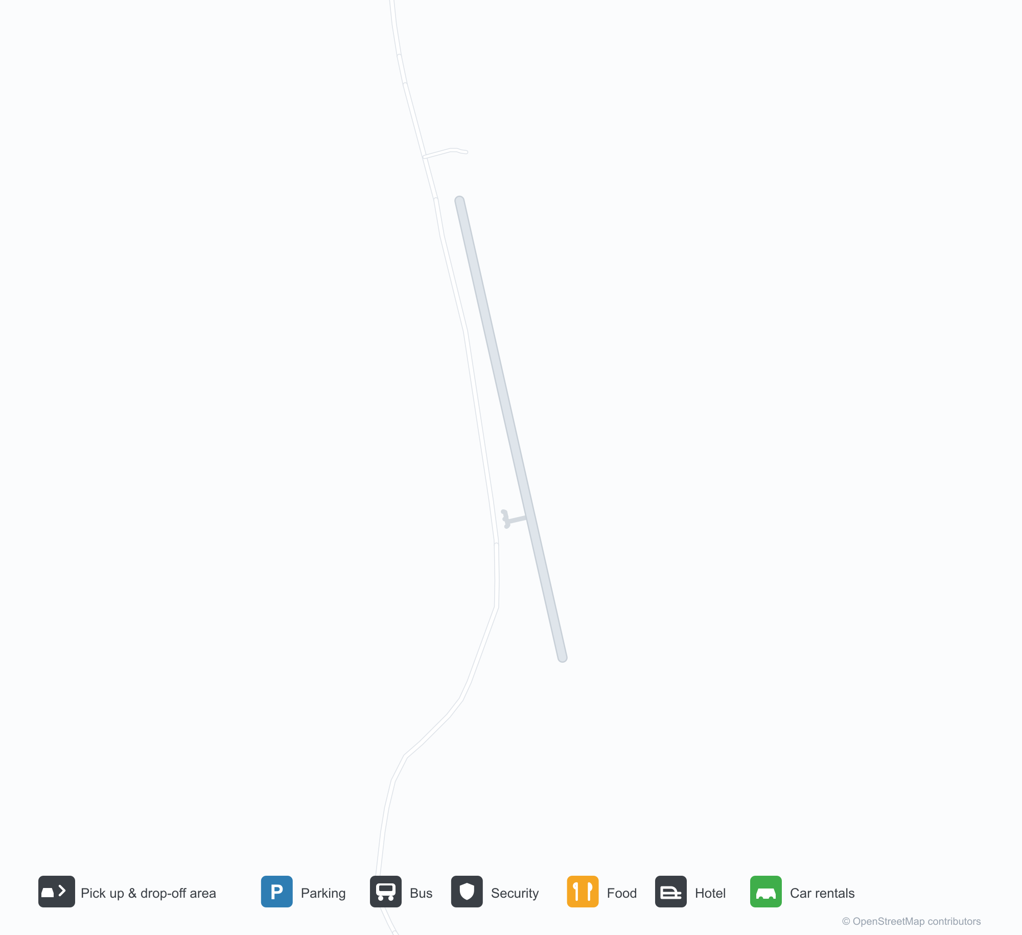
Havalimanı Haritalarını İndirinİndirmeler
Havalimanı fotoğraflarıHavalimanı Fotoğrafları
Bu havalimanının gerçek fotoğrafları; her fotoğrafın altında, fotoğrafın bulunduğu kamuya açık web sayfasına bir atıf yer alır ve telif hakkı özgün fotoğrafçılarda kalır. Yakınlaştırmak için bir fotoğrafa, kaynak sayfasını açmak için bir atıf satırına tıklayın.
Acandí'nin çim havaalanı — çakıl apronda küçük bir Cessna, çimende park etmiş bir başka uçak; çevresi tropikal orman ve alçak tepelerle sarılı.
Alcides Fernández Airport uçuşları — kalkışlar ve varışlarUçuş Panosu
2 uçuş numarası, 1 havayolu şirketi ve 1 varış noktası, yönlere göre ayrılmıştır. Ortak uçuş numaraları dahildir.
| Uçuş | Havayolu şirketi | Varış noktası | Ülke/bölge |
|---|---|---|---|
| 9R8855 | Satena | Medellín (EOH) Enrique Olaya Herrera Airport | Kolombiya |
Uçuş numaraları ve rotalar aviability.com uçuş dizininden (anlık görüntü: 26 Ekim 2026); ortak uçuş numaraları dahildir ve kalkış saatleri gösterilmez. Kaynak: aviability.com ↗
Havalimanı bilgileri ve ayrıntılarıHavalimanı Ayrıntıları
Etkileşimli harita — Alcides Fernández Airport konumuEtkileşimli Harita
Bu havalimanını diğer harita hizmetlerinde görüntüleyin:
Acandí Airport (ACD): A Grass Strip in the Chocó RainforestHavalimanı Rehberi
There is no terminal in the photo, only a grass-and-gravel strip: a Cessna parked on the gravel apron, another at the edge of the grass, tropical forest and distant hills around them. The field serves Acandí in Chocó, Colombia, at an elevation of about 15 m; OurAirports does not list its runway dimensions, and the 2014 snapshot records no scheduled routes.
Airport photos

Acandí's grass airfield — a small Cessna on the gravel apron, another aircraft parked in the grass, ringed by tropical forest and low hills.
The photos come from public web sources and remain the copyright of their photographers; full credits and source links sit in the photo gallery on this page.
Airport at a glance
| Item | Detail |
|---|---|
| IATA / ICAO | ACD / SKAD |
| Role | Small airport |
| Elevation | about 15 m |
| Coordinates | 8.4978, -77.2741 |
| Runways | Not listed in OurAirports |
| Non-stop destinations | 0 in the 2014 snapshot |
Runways
OurAirports does not list runway dimensions for this airport.
Non-stop routes
The route dataset carries no scheduled non-stop services for this airport. Regional schedules change often — confirm with the airline or airport before booking.
Nearby airports to compare
If the fares are close, these are the nearest airports of the same class (small airport) — straight-line distance, with their own non-stop counts from the same dataset:
| Airport | Distance | Non-stop destinations |
|---|---|---|
| Ahuas Airport (AHS) | ~1,092 km | — |
| Araracuara Airport (ACR) | ~1,147 km | — |
Before you fly
- Small aircraft and charters dominate; runway conditions and weather matter, so contact the operator directly.
- The Chocó is very wet; pack for rain and have a backup plan for disrupted flights.
About the data
Runways, elevation and coordinates come from OurAirports open data. Routes and carriers come from the June 2014 OpenFlights snapshot and include codeshares and interline services; they indicate network shape and scale, not current schedules.
Okuyucu yorumlarıTartışma
Sorular, seyahat deneyimleri ve düzeltmeler memnuniyetle karşılanır. Yorumlar herkese açıktır.
Yükleniyor…
Yorumlar yükleniyor…