
Alcides Fernández Airport
 Acandí · コロンビア· Alcides Fernández Airport
Alcides Fernández Airport(IATA: ACD、ICAO: SKAD)はAcandí、コロンビアにある小型空港です。
Alcides Fernández Airport is a small airport, at an elevation of about 50 ft. This page gathers its location map, airport codes and travel information.
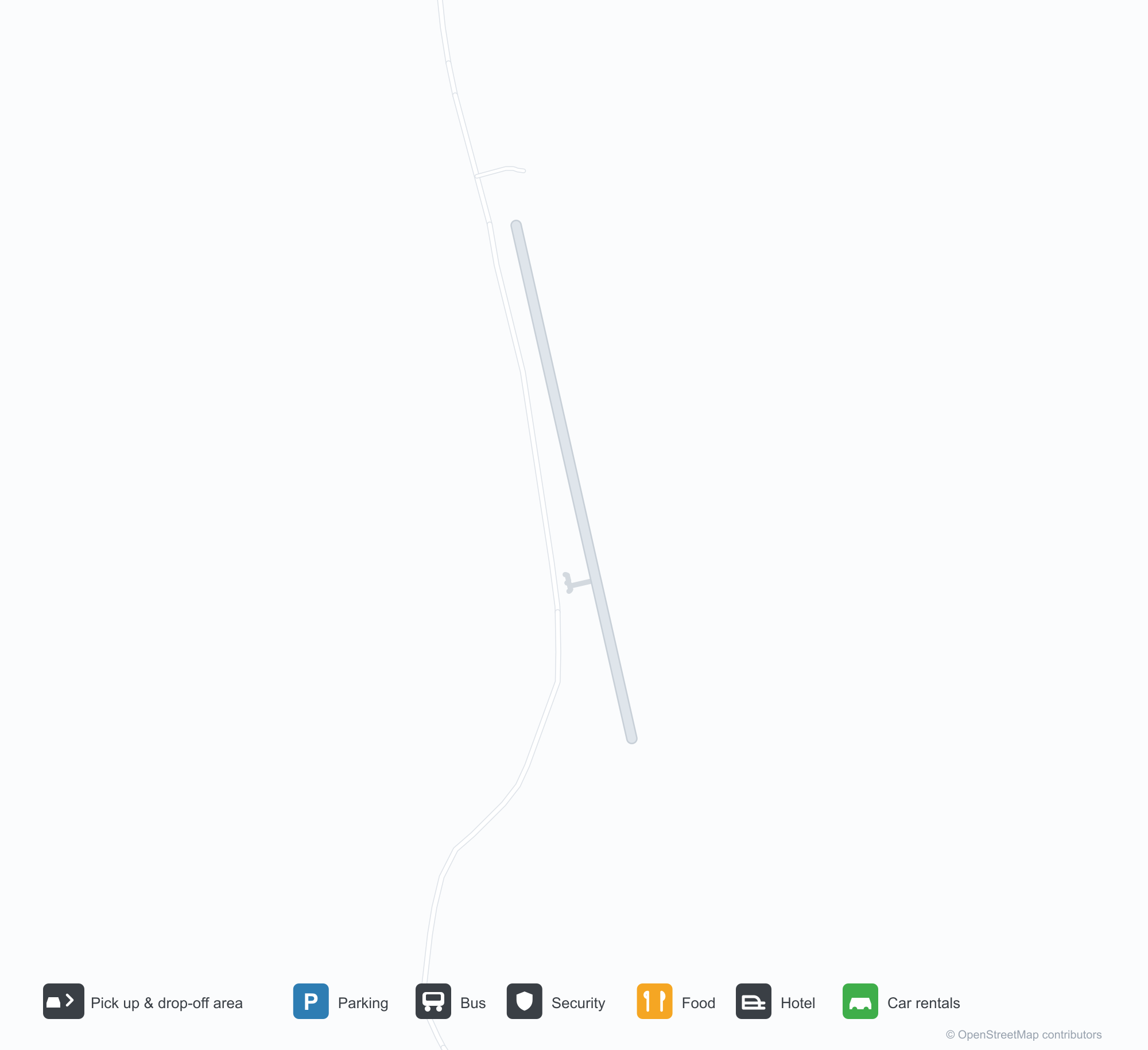
空港マップをダウンロードダウンロード
空港写真空港写真
この空港の実際の写真です。いずれも公開ウェブページを出典として明記しており、著作権は撮影者に帰属します。写真をクリックすると拡大表示され、クレジットをクリックすると元のページが開きます。
アカンディの草地飛行場——砂利のエプロンに小さなセスナ、草地にもう1機が停まり、周囲を熱帯林と低い丘が囲む。
Alcides Fernández Airport発着便 — 出発と到着フライトボード
便名2件、1社の航空会社、1か所の目的地を出発・到着別に掲載しています。コードシェア便も含みます。
便名と路線はaviability.comのフライトインデックス(スナップショット:2026年10月26日)に基づきます。コードシェア便を含み、出発時刻は掲載していません。出典:aviability.com ↗
空港情報と詳細空港の詳細
インタラクティブマップ — Alcides Fernández Airportの位置インタラクティブマップ
他の地図サービスでこの空港を見る:
Acandí Airport (ACD): A Grass Strip in the Chocó Rainforest空港ガイド
There is no terminal in the photo, only a grass-and-gravel strip: a Cessna parked on the gravel apron, another at the edge of the grass, tropical forest and distant hills around them. The field serves Acandí in Chocó, Colombia, at an elevation of about 15 m; OurAirports does not list its runway dimensions, and the 2014 snapshot records no scheduled routes.
Airport photos

Acandí's grass airfield — a small Cessna on the gravel apron, another aircraft parked in the grass, ringed by tropical forest and low hills.
The photos come from public web sources and remain the copyright of their photographers; full credits and source links sit in the photo gallery on this page.
Airport at a glance
| Item | Detail |
|---|---|
| IATA / ICAO | ACD / SKAD |
| Role | Small airport |
| Elevation | about 15 m |
| Coordinates | 8.4978, -77.2741 |
| Runways | Not listed in OurAirports |
| Non-stop destinations | 0 in the 2014 snapshot |
Runways
OurAirports does not list runway dimensions for this airport.
Non-stop routes
The route dataset carries no scheduled non-stop services for this airport. Regional schedules change often — confirm with the airline or airport before booking.
Nearby airports to compare
If the fares are close, these are the nearest airports of the same class (small airport) — straight-line distance, with their own non-stop counts from the same dataset:
| Airport | Distance | Non-stop destinations |
|---|---|---|
| Ahuas Airport (AHS) | ~1,092 km | — |
| Araracuara Airport (ACR) | ~1,147 km | — |
Before you fly
- Small aircraft and charters dominate; runway conditions and weather matter, so contact the operator directly.
- The Chocó is very wet; pack for rain and have a backup plan for disrupted flights.
About the data
Runways, elevation and coordinates come from OurAirports open data. Routes and carriers come from the June 2014 OpenFlights snapshot and include codeshares and interline services; they indicate network shape and scale, not current schedules.
読者コメントディスカッション
質問、旅行記、訂正など、お気軽にお寄せください。コメントは公開されます。
読み込み中…
コメントを読み込み中…