
Ann Airport
 Ann · Мьянма· Ann Airport
Ann Airport (IATA: VBA, ICAO VYAN) — малый аэропорт в городе Ann, Мьянма.
Ann Airport is a small airport, at an elevation of about 74 ft. This page gathers its location map, airport codes and travel information.
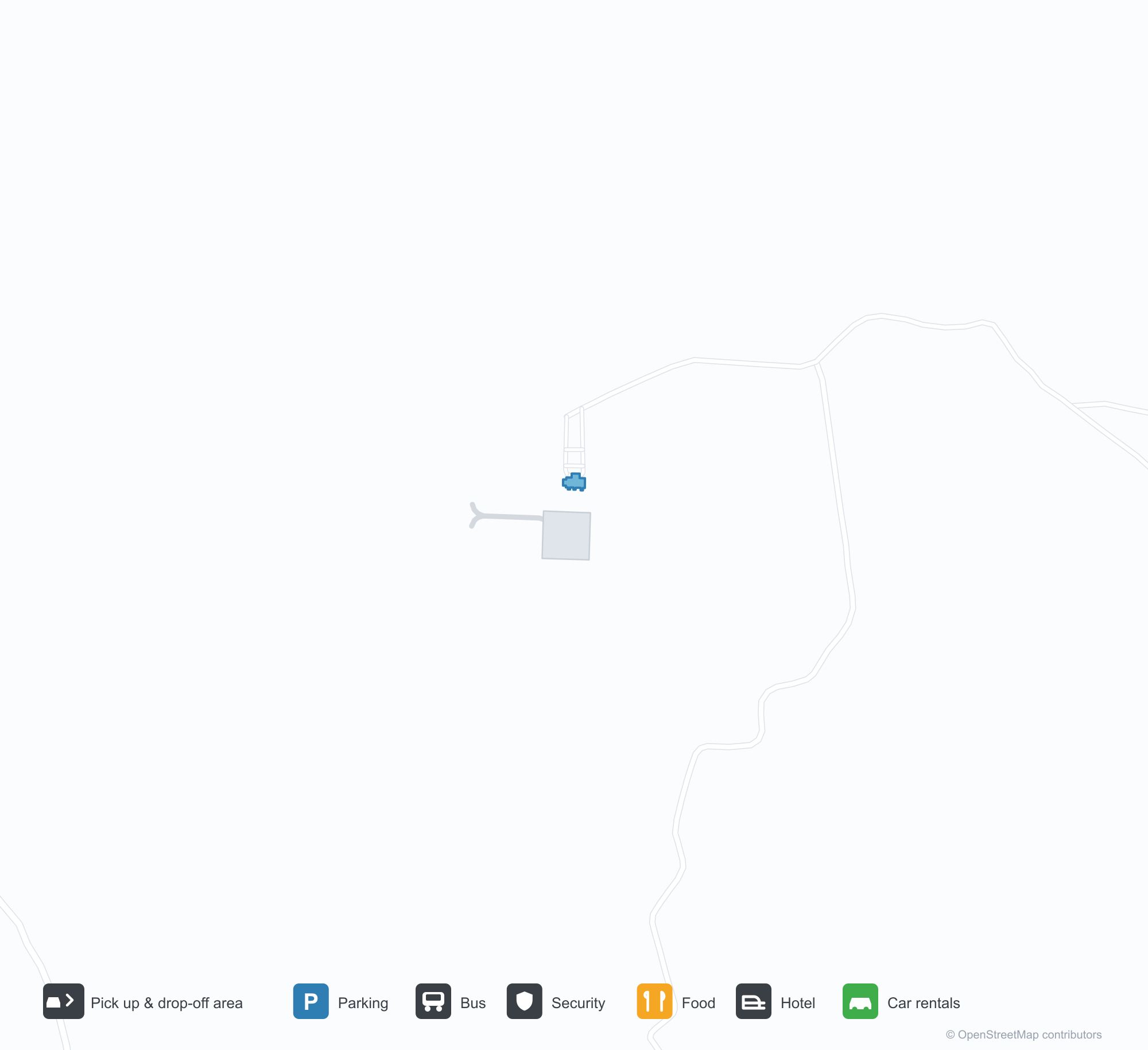
Скачать карты аэропортаЗагрузки
Фотографии аэропортаФото аэропорта
Реальные фотографии этого аэропорта; у каждой указан источник — общедоступная веб-страница. Авторские права принадлежат фотографам. Нажмите на фото, чтобы увеличить, или на подпись, чтобы открыть источник.
Вид со спутника: полоса идёт через зелёные холмы в центральной Мьянме, рядом — небольшой перрон и терминал.
Тёмная каменная входная арка несёт золотые буквы над бирманской письменностью, позади под плоским серым небом поднимается красная крыша терминала.
Информация об аэропортеСведения об аэропорте
Интерактивная карта: Ann AirportИнтерактивная карта
Посмотреть этот аэропорт на других картографических сервисах:
Ann Airport (VBA): A 2,591 m Runway in Central MyanmarПутеводитель по аэропорту
From above, a runway runs through green hills in central Myanmar, with a small apron and terminal alongside it and woods and fields around. The field serves Ann in Myanmar at an elevation of about 23 m, with a 2,591 m runway; the 2014 snapshot records no scheduled routes.
Satellite view
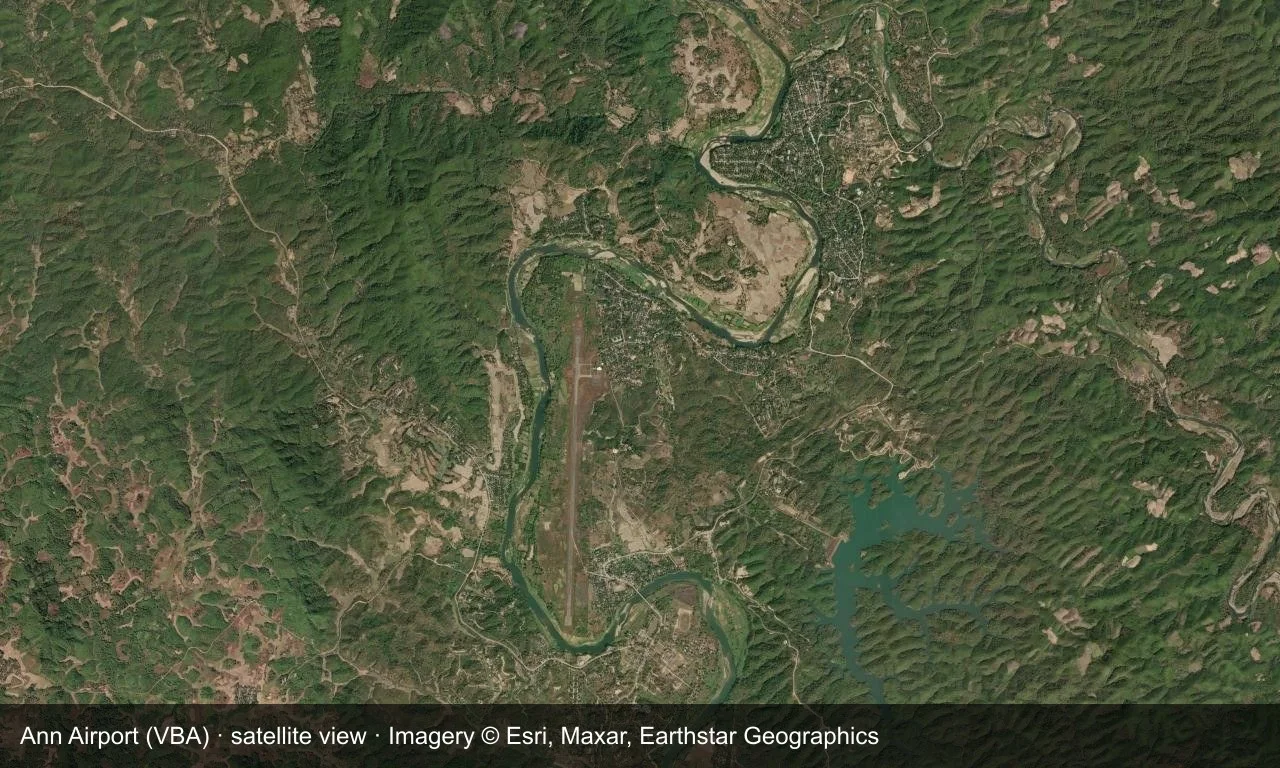
Satellite view: a runway runs through green hills in central Myanmar, with a small apron and terminal alongside it.
The satellite image comes from Esri World Imagery (© Esri, Maxar, Earthstar Geographics); the field and attribution are labelled in the image. This is a satellite view, not a ground-level photograph.
Airport at a glance
| Item | Detail |
|---|---|
| IATA / ICAO | VBA / VYAN |
| Role | Small airport |
| Elevation | about 23 m |
| Coordinates | 19.7692, 94.0261 |
| Runways | 1, 2,591 m |
| Non-stop destinations | 0 in the 2014 snapshot |
Runways
| Runway | Length | Width | Surface |
|---|---|---|---|
| 18/36 | 2,591 m | 30 m | concrete |
1 runway, the longest 2,591 m.
Non-stop routes
The route dataset carries no scheduled non-stop services for this airport. Regional schedules change often — confirm with the airline or airport before booking.
Nearby airports to compare
If the fares are close, these are the nearest airports of the same class (small airport) — straight-line distance, with their own non-stop counts from the same dataset:
| Airport | Distance | Non-stop destinations |
|---|---|---|
| Azamgarh Airport (AZH) | ~1,322 km | — |
| Aligarh Airport (HRH) | ~1,847 km | — |
Before you fly
- No scheduled routes are recorded; arrange charters or general-aviation flights directly with the operator.
- Ground transport and weather in central Myanmar can affect the trip, so leave a buffer.
About the data
Runways, elevation and coordinates come from OurAirports open data. Routes and carriers come from the June 2014 OpenFlights snapshot and include codeshares and interline services; they indicate network shape and scale, not current schedules.
Комментарии читателейОбсуждение
Вопросы, отчёты о поездках и исправления приветствуются. Комментарии видны всем.
Загрузка…
Загрузка комментариев…