
Ann Airport
 Ann · Myanmar· Ann Airport
Ann Airport (IATA: VBA, ICAO VYAN) adalah bandara kecil yang melayani Ann, Myanmar.
Ann Airport is a small airport, at an elevation of about 74 ft. This page gathers its location map, airport codes and travel information.
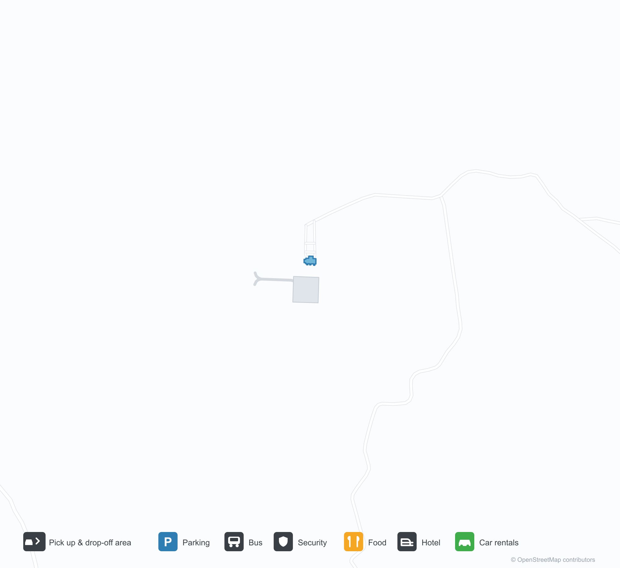
Unduh Peta BandaraUnduhan
Foto bandaraFoto Bandara
Foto asli bandara ini, masing-masing dikreditkan ke halaman web publik tempat foto ditemukan; hak cipta tetap milik fotografer aslinya. Klik foto untuk memperbesar, atau baris kredit untuk membuka halaman sumbernya.
Citra satelit: landasan pacu membentang melalui perbukitan hijau di Myanmar tengah, dengan apron dan terminal kecil di sampingnya.
Papan gerbang batu gelap memuat huruf emas di atas aksara Burma, dengan atap merah terminal menjulang di belakang di bawah langit kelabu rata.
Informasi & detail bandaraDetail Bandara
Peta interaktif — lokasi Ann AirportPeta Interaktif
Lihat bandara ini di layanan peta lain:
Ann Airport (VBA): A 2,591 m Runway in Central MyanmarPanduan Bandara
From above, a runway runs through green hills in central Myanmar, with a small apron and terminal alongside it and woods and fields around. The field serves Ann in Myanmar at an elevation of about 23 m, with a 2,591 m runway; the 2014 snapshot records no scheduled routes.
Satellite view
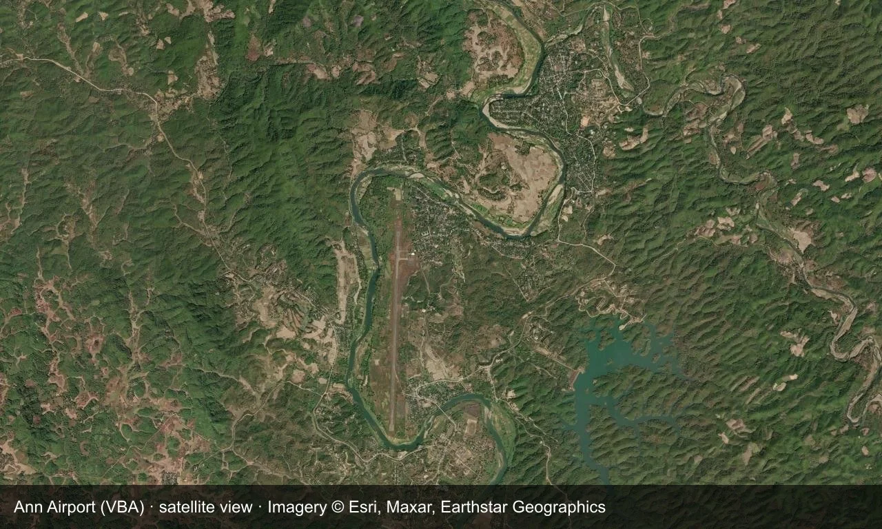
Satellite view: a runway runs through green hills in central Myanmar, with a small apron and terminal alongside it.
The satellite image comes from Esri World Imagery (© Esri, Maxar, Earthstar Geographics); the field and attribution are labelled in the image. This is a satellite view, not a ground-level photograph.
Airport at a glance
| Item | Detail |
|---|---|
| IATA / ICAO | VBA / VYAN |
| Role | Small airport |
| Elevation | about 23 m |
| Coordinates | 19.7692, 94.0261 |
| Runways | 1, 2,591 m |
| Non-stop destinations | 0 in the 2014 snapshot |
Runways
| Runway | Length | Width | Surface |
|---|---|---|---|
| 18/36 | 2,591 m | 30 m | concrete |
1 runway, the longest 2,591 m.
Non-stop routes
The route dataset carries no scheduled non-stop services for this airport. Regional schedules change often — confirm with the airline or airport before booking.
Nearby airports to compare
If the fares are close, these are the nearest airports of the same class (small airport) — straight-line distance, with their own non-stop counts from the same dataset:
| Airport | Distance | Non-stop destinations |
|---|---|---|
| Azamgarh Airport (AZH) | ~1,322 km | — |
| Aligarh Airport (HRH) | ~1,847 km | — |
Before you fly
- No scheduled routes are recorded; arrange charters or general-aviation flights directly with the operator.
- Ground transport and weather in central Myanmar can affect the trip, so leave a buffer.
About the data
Runways, elevation and coordinates come from OurAirports open data. Routes and carriers come from the June 2014 OpenFlights snapshot and include codeshares and interline services; they indicate network shape and scale, not current schedules.
Komentar pembacaDiskusi
Pertanyaan, laporan perjalanan, dan koreksi sangat kami harapkan. Komentar bersifat publik.
Memuat…
Memuat komentar…