
Ann Airport
 Ann · 미얀마· Ann Airport
Ann Airport(IATA: VBA, ICAO: VYAN)은 미얀마 Ann에 위치한 소형 공항입니다.
Ann Airport is a small airport, at an elevation of about 74 ft. This page gathers its location map, airport codes and travel information.
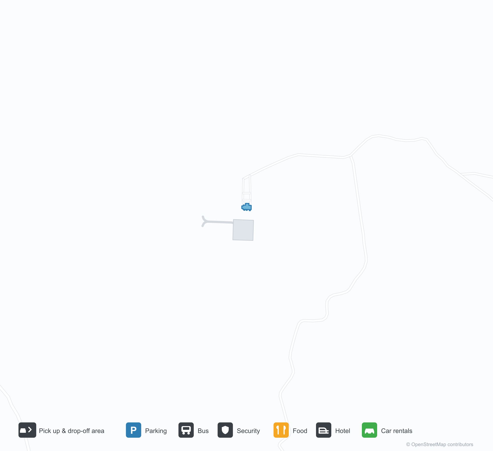
공항 지도 다운로드다운로드
공항 실제 사진공항 사진
다음은 이 공항의 실제 사진으로, 모두 공개된 인터넷 출처에서 가져왔으며 사진마다 출처를 표시했습니다. 저작권은 원저작자에게 있습니다. 사진을 클릭하면 크게 볼 수 있고, 출처를 클릭하면 원본 페이지가 열립니다.
위성 사진: 미얀마 중부의 푸른 구릉을 가로지르는 활주로 — 옆에 작은 계류장과 터미널.
공항 정보 및 상세공항 상세
Ann Airport 인터랙티브 지도 — 공항 위치인터랙티브 지도
다른 지도 서비스에서 이 공항 보기:
Ann Airport (VBA): A 2,591 m Runway in Central Myanmar공항 안내
From above, a runway runs through green hills in central Myanmar, with a small apron and terminal alongside it and woods and fields around. The field serves Ann in Myanmar at an elevation of about 23 m, with a 2,591 m runway; the 2014 snapshot records no scheduled routes.
Satellite view
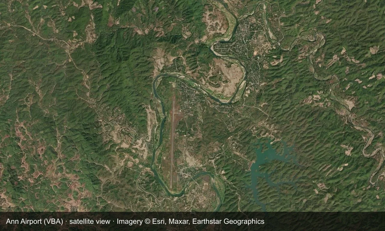
Satellite view: a runway runs through green hills in central Myanmar, with a small apron and terminal alongside it.
The satellite image comes from Esri World Imagery (© Esri, Maxar, Earthstar Geographics); the field and attribution are labelled in the image. This is a satellite view, not a ground-level photograph.
Airport at a glance
| Item | Detail |
|---|---|
| IATA / ICAO | VBA / VYAN |
| Role | Small airport |
| Elevation | about 23 m |
| Coordinates | 19.7692, 94.0261 |
| Runways | 1, 2,591 m |
| Non-stop destinations | 0 in the 2014 snapshot |
Runways
| Runway | Length | Width | Surface |
|---|---|---|---|
| 18/36 | 2,591 m | 30 m | concrete |
1 runway, the longest 2,591 m.
Non-stop routes
The route dataset carries no scheduled non-stop services for this airport. Regional schedules change often — confirm with the airline or airport before booking.
Nearby airports to compare
If the fares are close, these are the nearest airports of the same class (small airport) — straight-line distance, with their own non-stop counts from the same dataset:
| Airport | Distance | Non-stop destinations |
|---|---|---|
| Azamgarh Airport (AZH) | ~1,322 km | — |
| Aligarh Airport (HRH) | ~1,847 km | — |
Before you fly
- No scheduled routes are recorded; arrange charters or general-aviation flights directly with the operator.
- Ground transport and weather in central Myanmar can affect the trip, so leave a buffer.
About the data
Runways, elevation and coordinates come from OurAirports open data. Routes and carriers come from the June 2014 OpenFlights snapshot and include codeshares and interline services; they indicate network shape and scale, not current schedules.