
Ann Airport
 Ann · Mianmar· Ann Airport
O Ann Airport (IATA: VBA, ICAO VYAN) é um aeroporto pequeno que atende Ann, Mianmar.
Ann Airport is a small airport, at an elevation of about 74 ft. This page gathers its location map, airport codes and travel information.
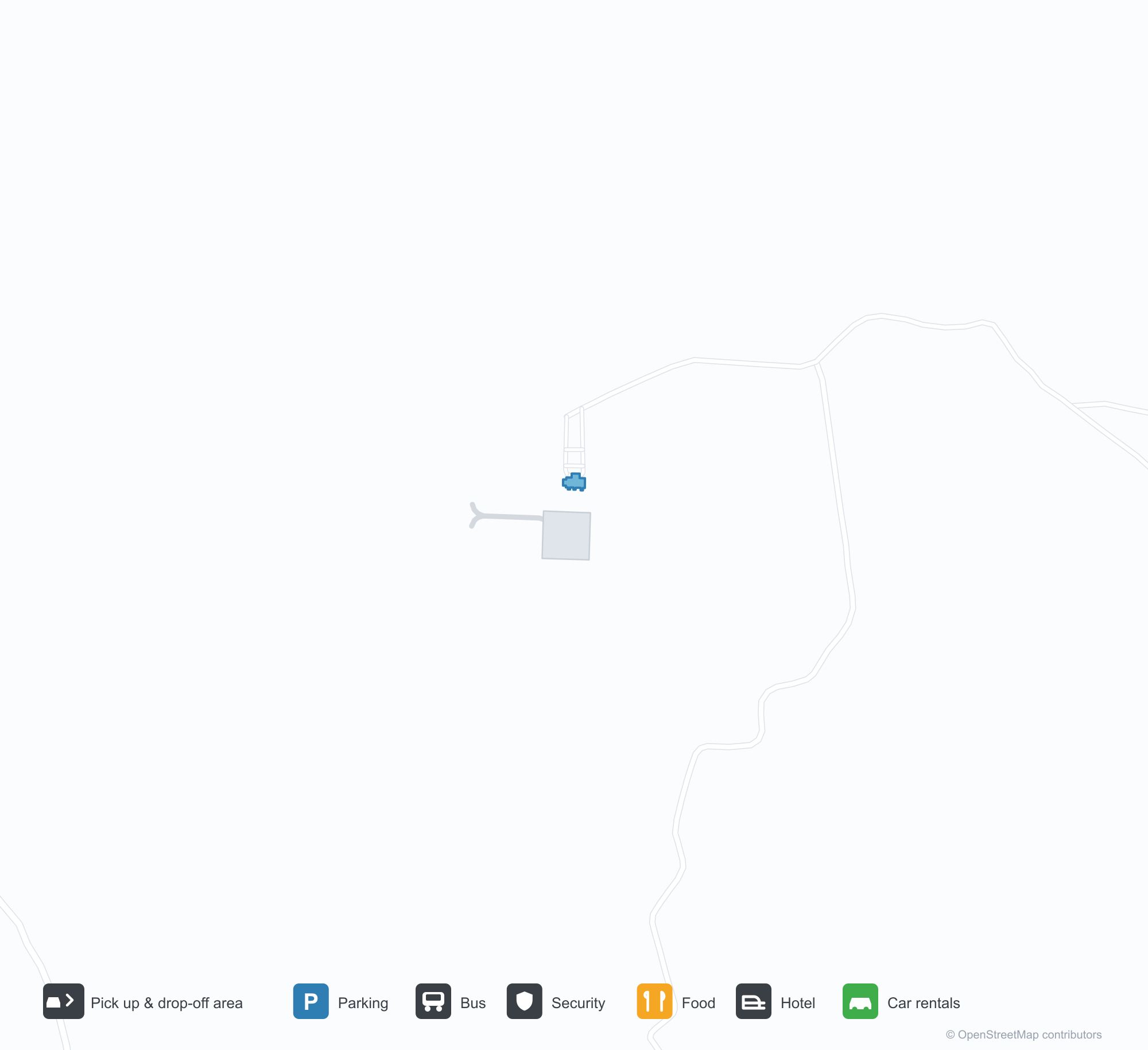
Baixar mapas do aeroportoDownloads
Fotos do aeroportoFotos do aeroporto
Fotos reais deste aeroporto, cada uma creditada à página pública da web onde foi encontrada; os direitos autorais continuam com os fotógrafos originais. Clique em uma foto para ampliar ou em uma linha de crédito para abrir a página de origem.
Vista de satélite: uma pista corre entre colinas verdes no centro de Mianmar, com um pequeno pátio e terminal ao lado.
Uma placa de portal de pedra escura traz letras douradas sobre a escrita birmanesa, com o telhado vermelho do terminal se erguendo atrás sob um céu cinzento uniforme.
Informações e detalhes do aeroportoDetalhes do aeroporto
Mapa interativo — localização do Ann AirportMapa interativo
Veja este aeroporto em outros serviços de mapas:
Ann Airport (VBA): A 2,591 m Runway in Central MyanmarGuia do aeroporto
From above, a runway runs through green hills in central Myanmar, with a small apron and terminal alongside it and woods and fields around. The field serves Ann in Myanmar at an elevation of about 23 m, with a 2,591 m runway; the 2014 snapshot records no scheduled routes.
Satellite view
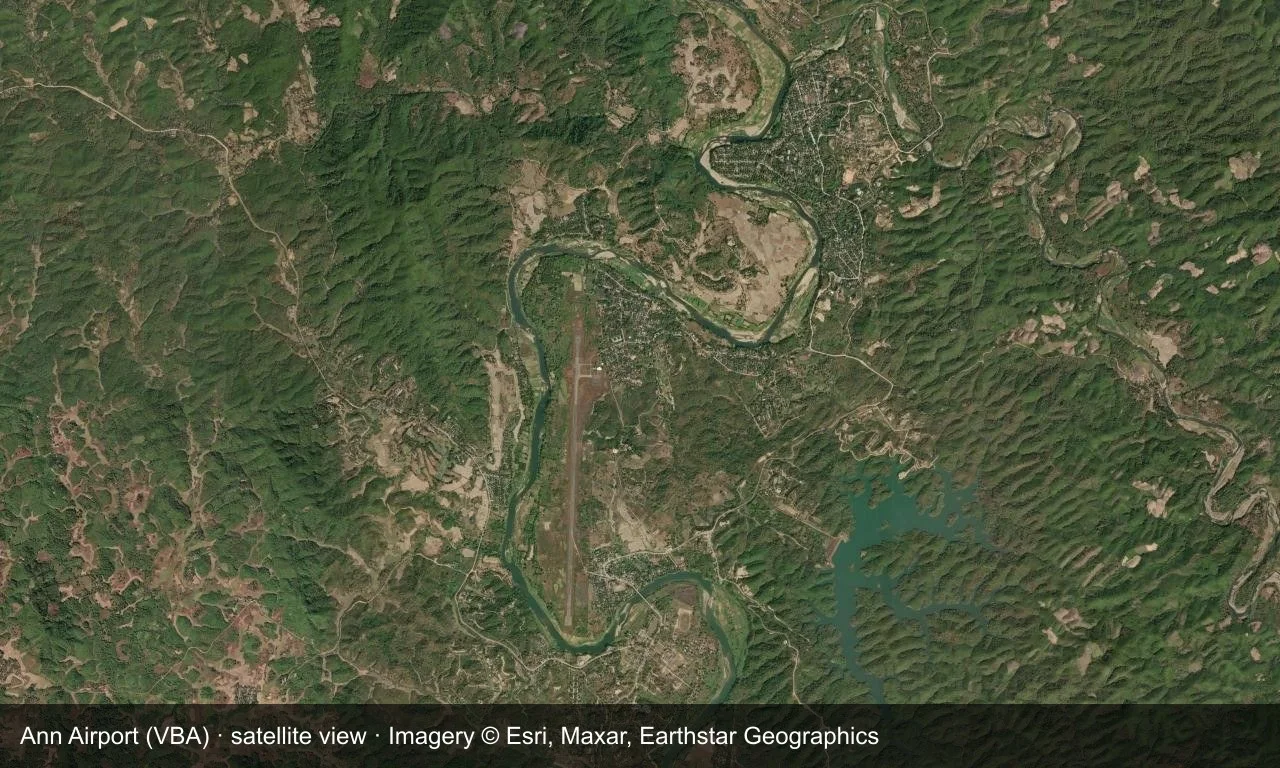
Satellite view: a runway runs through green hills in central Myanmar, with a small apron and terminal alongside it.
The satellite image comes from Esri World Imagery (© Esri, Maxar, Earthstar Geographics); the field and attribution are labelled in the image. This is a satellite view, not a ground-level photograph.
Airport at a glance
| Item | Detail |
|---|---|
| IATA / ICAO | VBA / VYAN |
| Role | Small airport |
| Elevation | about 23 m |
| Coordinates | 19.7692, 94.0261 |
| Runways | 1, 2,591 m |
| Non-stop destinations | 0 in the 2014 snapshot |
Runways
| Runway | Length | Width | Surface |
|---|---|---|---|
| 18/36 | 2,591 m | 30 m | concrete |
1 runway, the longest 2,591 m.
Non-stop routes
The route dataset carries no scheduled non-stop services for this airport. Regional schedules change often — confirm with the airline or airport before booking.
Nearby airports to compare
If the fares are close, these are the nearest airports of the same class (small airport) — straight-line distance, with their own non-stop counts from the same dataset:
| Airport | Distance | Non-stop destinations |
|---|---|---|
| Azamgarh Airport (AZH) | ~1,322 km | — |
| Aligarh Airport (HRH) | ~1,847 km | — |
Before you fly
- No scheduled routes are recorded; arrange charters or general-aviation flights directly with the operator.
- Ground transport and weather in central Myanmar can affect the trip, so leave a buffer.
About the data
Runways, elevation and coordinates come from OurAirports open data. Routes and carriers come from the June 2014 OpenFlights snapshot and include codeshares and interline services; they indicate network shape and scale, not current schedules.
Comentários dos leitoresDiscussão
Perguntas, relatos de viagem e correções são bem-vindos. Os comentários são públicos.
Carregando…
Carregando comentários…