
Ambatondrazaka Airport
 Ambatondrazaka · Мадагаскар· Ambatondrazaka Airport
Ambatondrazaka Airport (IATA: WAM, ICAO FMMZ) — малый аэропорт в городе Ambatondrazaka, Мадагаскар.
Ambatondrazaka Airport is a small airport, at an elevation of about 2,513 ft. This page gathers its location map, airport codes and travel information.
Скачать карты аэропортаЗагрузки
Фотографии аэропортаФото аэропорта
Реальные фотографии этого аэропорта; у каждой указан источник — общедоступная веб-страница. Авторские права принадлежат фотографам. Нажмите на фото, чтобы увеличить, или на подпись, чтобы открыть источник.
На спутниковом снимке полоса аэропорта Амбатундразака (WAM) лежит между сухой землёй и пустошами.
Информация об аэропортеСведения об аэропорте
Интерактивная карта: Ambatondrazaka AirportИнтерактивная карта
Посмотреть этот аэропорт на других картографических сервисах:
Ambatondrazaka Airport (WAM) Guide: A quiet field with no scheduled routesПутеводитель по аэропорту
Satellite imagery of Ambatondrazaka Airport (WAM) in Madagascar shows a field surrounded by a patchwork of vegetation and open ground. At about 766 m above sea level, it has a single 1,200 m runway. The 2014 snapshot lists no scheduled destinations; Toamasina Ambalamanasy Airport is 107 km away.
Satellite view
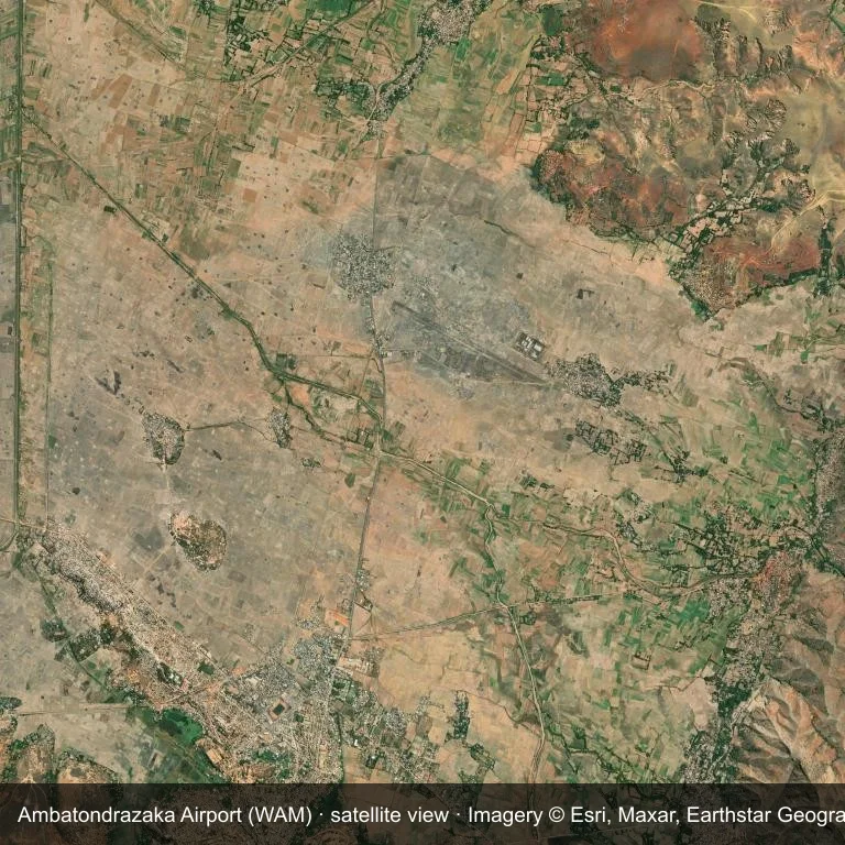
Satellite view of Ambatondrazaka Airport (WAM), with the airfield visible among a patchwork of vegetation and open ground.
Imagery: Esri World Imagery (© Esri, Maxar, Earthstar Geographics), with attribution in the image. It shows the field from orbit, not from the ground.
Airport at a glance
| Item | Detail |
|---|---|
| IATA / ICAO | WAM / FMMZ |
| Role | small airport |
| Elevation | about 766 m |
| Coordinates | -17.7954, 48.4426 |
| Runways | 1, longest 1,200 m |
| Non-stop destinations | 0 in the 2014 snapshot |
Runways
| Runway | Length | Surface |
|---|---|---|
| 12/30 | 1,200 m | grass |
Why there is no route table
This airport's route list is blank in the 2014 snapshot. That may reflect a small or seasonal operation, or simply missing data; confirm before planning a flight.
Nearby airports
| Airport | Distance | Non-stop destinations |
|---|---|---|
| Toamasina Ambalamanasy Airport (TMM) | ~107 km | 4 |
| Ivato International Airport (TNR) | ~151 km | 20 |
| Sainte Marie Airport (SMS) | ~165 km | 3 |
Getting there and navigating
- Coordinates: -17.7954, 48.4426
- Open in a map: Google Maps | Amap | Baidu Maps
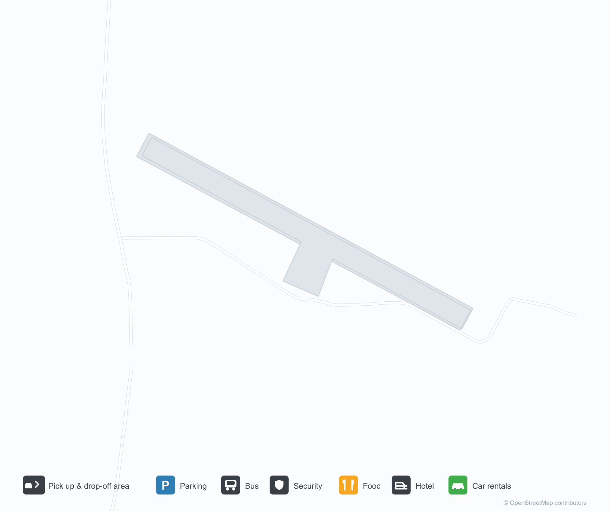
The map shows the field in its local road context. This page does not cover terminal links or local transport; confirm those with the operator.
Airport sketch
Ambatondrazaka Airport occupies ground in Madagascar surrounded by a patchwork of vegetation and open ground. The 12/30 runway runs northwest–southeast and offers 1,200 m of grass; elevation is about 766 m.
The runway gives 1,200 m of grass, a turboprop and light-jet profile. The grass surface makes operations weather-dependent. Toamasina Ambalamanasy Airport is 107 km away, with 4 destinations in the same snapshot.
With no routes in the 2014 data, this is not a reliable scheduled destination. Use Toamasina Ambalamanasy Airport as the nearest back-up and verify access with the airport operator.
Before you fly
- At 1,200 m, the runway suits turboprops and smaller jets rather than widebodies; confirm the aircraft type with the operator.
- The runway surface is grass, so rain and soft ground can affect operations; confirm conditions with the operator.
- Toamasina Ambalamanasy Airport is 107 km away with 4 destinations in the 2014 snapshot, making it the nearest alternative for a scheduled flight.
- The site has no terminal guide on this page, so allow extra time for local arrangements and onward transport.
- Treat this as a general-aviation or charter field rather than a large terminal; confirm handling and opening hours in advance.
About the data
Runways, elevation and coordinates come from OurAirports open data; routes come from the June 2014 OpenFlights snapshot. That snapshot describes network shape and scale, not current schedules.
Комментарии читателейОбсуждение
Вопросы, отчёты о поездках и исправления приветствуются. Комментарии видны всем.
Загрузка…
Загрузка комментариев…