
Ambatondrazaka Airport
 Ambatondrazaka · Madagascar· Ambatondrazaka Airport
O Ambatondrazaka Airport (IATA: WAM, ICAO FMMZ) é um aeroporto pequeno que atende Ambatondrazaka, Madagascar.
Ambatondrazaka Airport is a small airport, at an elevation of about 2,513 ft. This page gathers its location map, airport codes and travel information.
Baixar mapas do aeroportoDownloads
Fotos do aeroportoFotos do aeroporto
Fotos reais deste aeroporto, cada uma creditada à página pública da web onde foi encontrada; os direitos autorais continuam com os fotógrafos originais. Clique em uma foto para ampliar ou em uma linha de crédito para abrir a página de origem.
Na imagem de satélite, a pista do Aeroporto de Ambatondrazaka (WAM) fica entre terreno seco e terra árida.
Informações e detalhes do aeroportoDetalhes do aeroporto
Mapa interativo — localização do Ambatondrazaka AirportMapa interativo
Veja este aeroporto em outros serviços de mapas:
Ambatondrazaka Airport (WAM) Guide: A quiet field with no scheduled routesGuia do aeroporto
Satellite imagery of Ambatondrazaka Airport (WAM) in Madagascar shows a field surrounded by a patchwork of vegetation and open ground. At about 766 m above sea level, it has a single 1,200 m runway. The 2014 snapshot lists no scheduled destinations; Toamasina Ambalamanasy Airport is 107 km away.
Satellite view
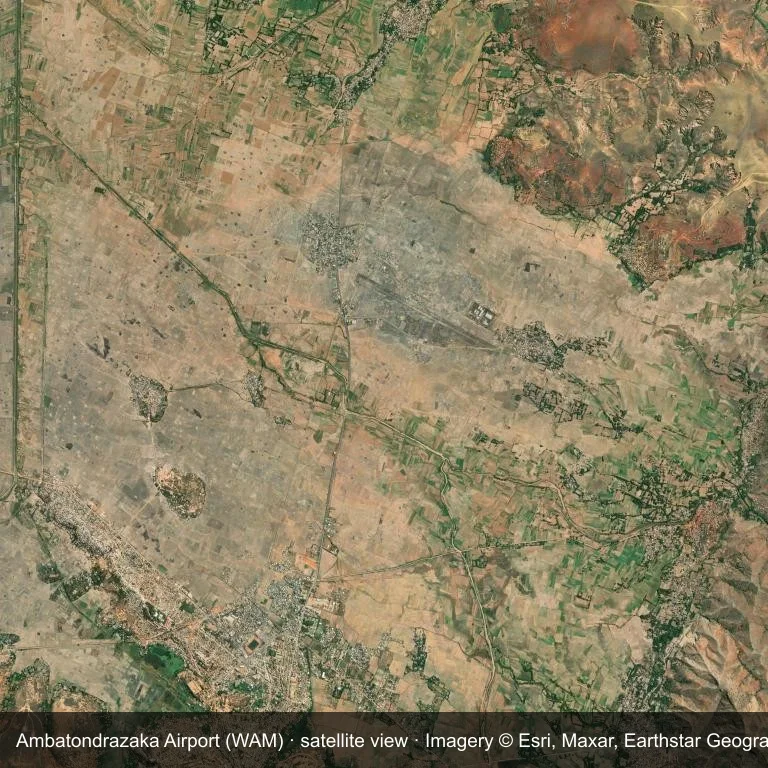
Satellite view of Ambatondrazaka Airport (WAM), with the airfield visible among a patchwork of vegetation and open ground.
Imagery: Esri World Imagery (© Esri, Maxar, Earthstar Geographics), with attribution in the image. It shows the field from orbit, not from the ground.
Airport at a glance
| Item | Detail |
|---|---|
| IATA / ICAO | WAM / FMMZ |
| Role | small airport |
| Elevation | about 766 m |
| Coordinates | -17.7954, 48.4426 |
| Runways | 1, longest 1,200 m |
| Non-stop destinations | 0 in the 2014 snapshot |
Runways
| Runway | Length | Surface |
|---|---|---|
| 12/30 | 1,200 m | grass |
Why there is no route table
This airport's route list is blank in the 2014 snapshot. That may reflect a small or seasonal operation, or simply missing data; confirm before planning a flight.
Nearby airports
| Airport | Distance | Non-stop destinations |
|---|---|---|
| Toamasina Ambalamanasy Airport (TMM) | ~107 km | 4 |
| Ivato International Airport (TNR) | ~151 km | 20 |
| Sainte Marie Airport (SMS) | ~165 km | 3 |
Getting there and navigating
- Coordinates: -17.7954, 48.4426
- Open in a map: Google Maps | Amap | Baidu Maps
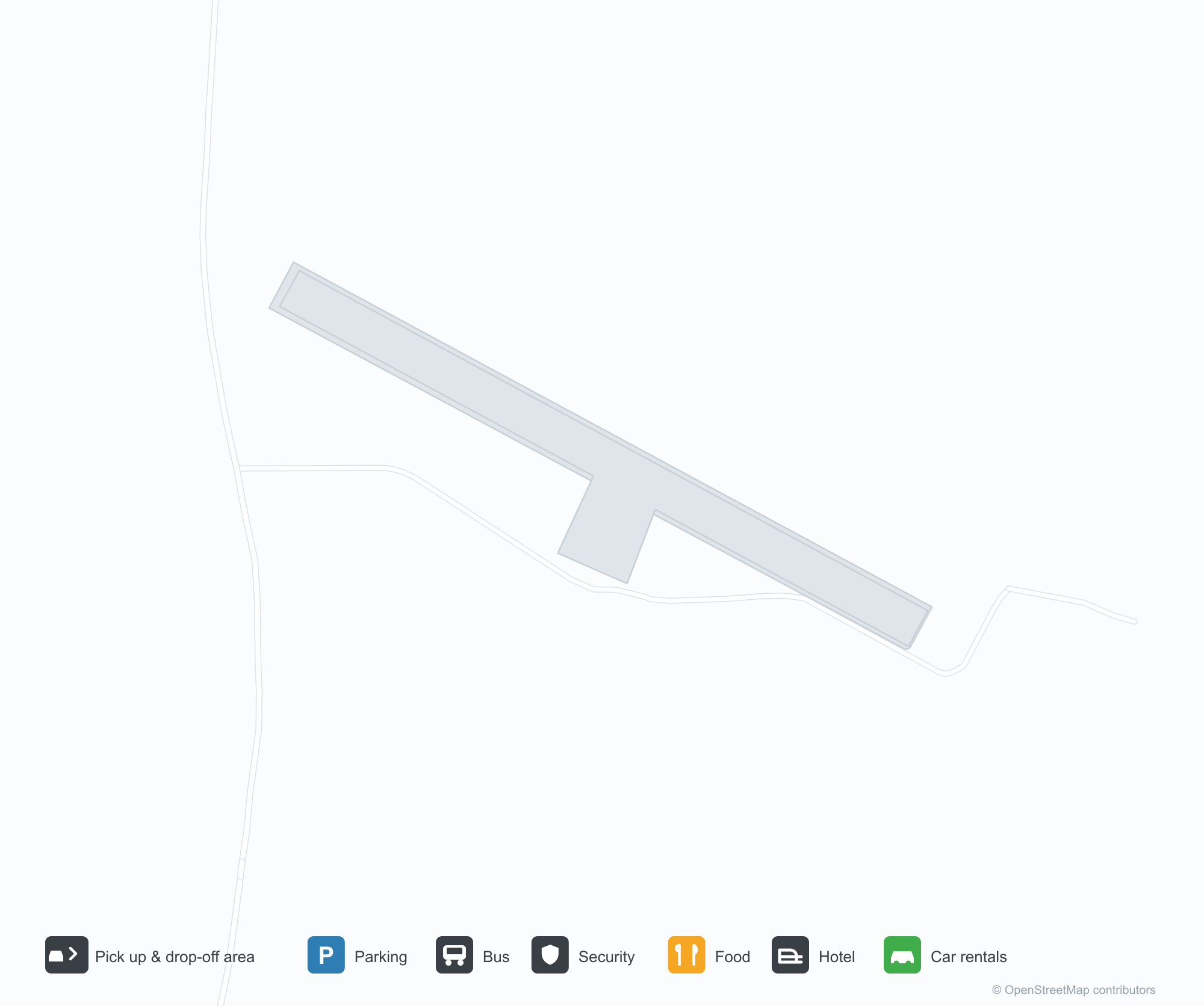
The map shows the field in its local road context. This page does not cover terminal links or local transport; confirm those with the operator.
Airport sketch
Ambatondrazaka Airport occupies ground in Madagascar surrounded by a patchwork of vegetation and open ground. The 12/30 runway runs northwest–southeast and offers 1,200 m of grass; elevation is about 766 m.
The runway gives 1,200 m of grass, a turboprop and light-jet profile. The grass surface makes operations weather-dependent. Toamasina Ambalamanasy Airport is 107 km away, with 4 destinations in the same snapshot.
With no routes in the 2014 data, this is not a reliable scheduled destination. Use Toamasina Ambalamanasy Airport as the nearest back-up and verify access with the airport operator.
Before you fly
- At 1,200 m, the runway suits turboprops and smaller jets rather than widebodies; confirm the aircraft type with the operator.
- The runway surface is grass, so rain and soft ground can affect operations; confirm conditions with the operator.
- Toamasina Ambalamanasy Airport is 107 km away with 4 destinations in the 2014 snapshot, making it the nearest alternative for a scheduled flight.
- The site has no terminal guide on this page, so allow extra time for local arrangements and onward transport.
- Treat this as a general-aviation or charter field rather than a large terminal; confirm handling and opening hours in advance.
About the data
Runways, elevation and coordinates come from OurAirports open data; routes come from the June 2014 OpenFlights snapshot. That snapshot describes network shape and scale, not current schedules.
Comentários dos leitoresDiscussão
Perguntas, relatos de viagem e correções são bem-vindos. Os comentários são públicos.
Carregando…
Carregando comentários…