
Annette Island Airport
 Annette Island · アメリカ合衆国· Annette Island Airport
Annette Island Airport(IATA: ANN、ICAO: PANT)はAnnette Island、アメリカ合衆国にある中型空港です。
Annette Island Airport is a medium-sized airport, at an elevation of about 119 ft. This page gathers its location map, airport codes and travel information.
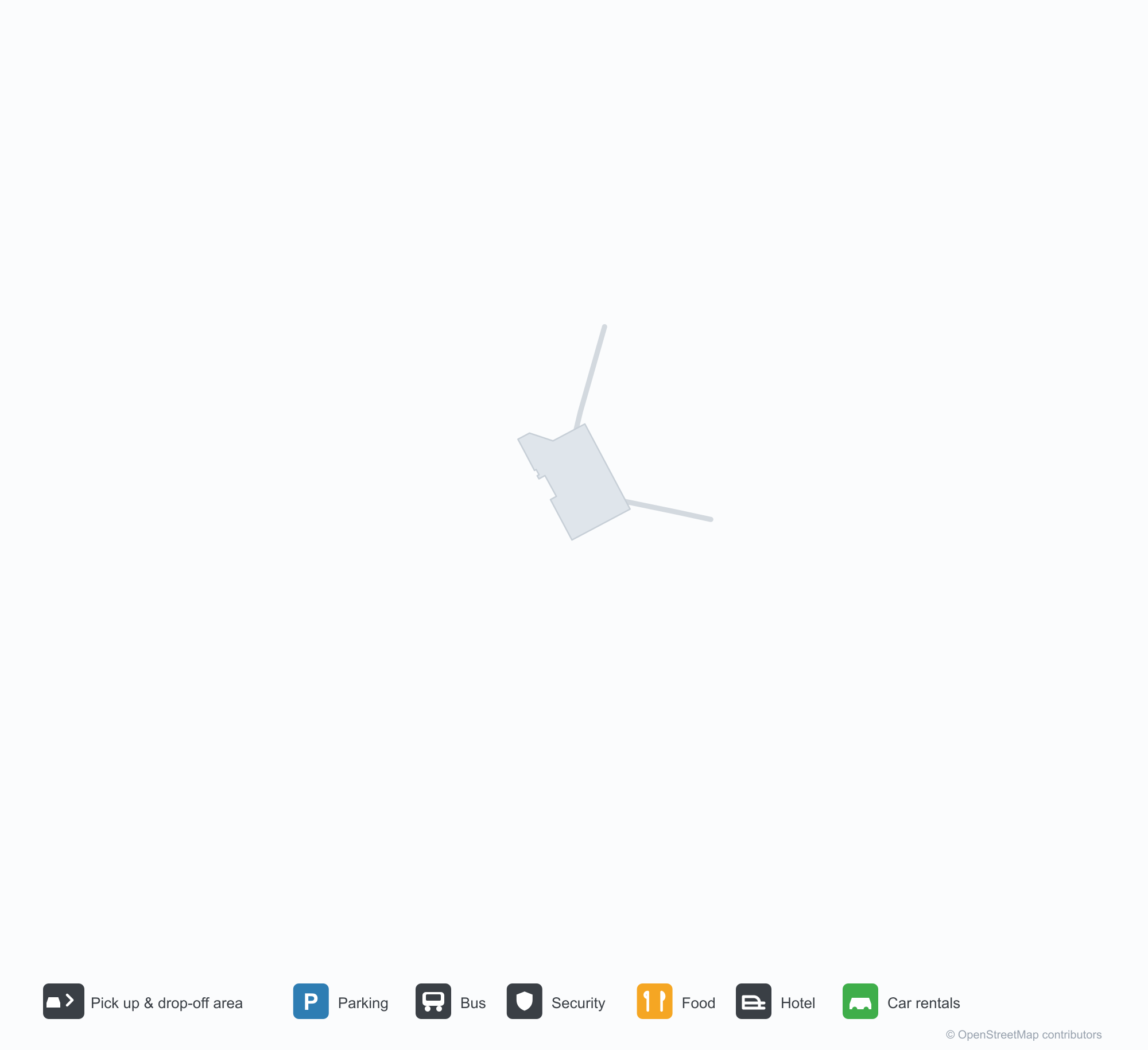
空港マップをダウンロードダウンロード
空港写真空港写真
この空港の実際の写真です。いずれも公開ウェブページを出典として明記しており、著作権は撮影者に帰属します。写真をクリックすると拡大表示され、クレジットをクリックすると元のページが開きます。
衛星画像では、アネット島空港(ANN)の滑走路が緑の植生と農地の間に位置する。
白黒の空撮:まだらな草地の間でエプロンと誘導路が出会い、縁沿いに長い格納庫と低い建物が数棟並ぶ。
空港図には07/25と02/20と記された交差する2本の滑走路が示され、長さと飛行場標高が添えられている。
コックピットからのフライトシミュレーター視点:プロペラのブレード越しに、平坦な雪国の滑走路、その先に山と海が広がる。
古い白黒写真:金網フェンス脇の看板にケチカンとその周辺にサービスすると記され、左にはパンアメリカン航空の尾翼が見える。
飛行機のマーカーが付いた位置図で、飛行場がケチカン南の島にあることを示し、ハイダバーグとプリンスルパートの名も記されている。
空港情報と詳細空港の詳細
インタラクティブマップ — Annette Island Airportの位置インタラクティブマップ
他の地図サービスでこの空港を見る:
Annette Island Airport (ANN) Guide: A regional runway in context空港ガイド
Satellite imagery of Annette Island Airport (ANN) in the United States shows a field surrounded by green vegetation and farmland. At about 36 m above sea level, it has 2 runways, the longest 2,284 m. The 2014 snapshot lists no scheduled destinations; Ketchikan International Airport is 36.5 km away.
Satellite view
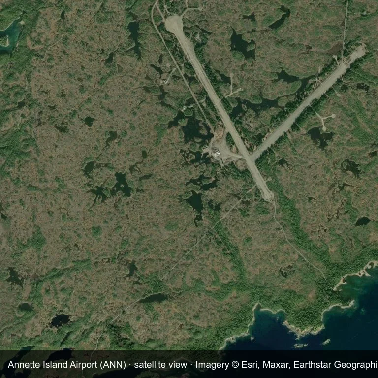
Satellite view of Annette Island Airport (ANN), with the airfield visible among green vegetation and farmland.
Imagery: Esri World Imagery (© Esri, Maxar, Earthstar Geographics), with attribution in the image. It shows the field from orbit, not from the ground.
Airport at a glance
| Item | Detail |
|---|---|
| IATA / ICAO | ANN / PANT |
| Role | medium-sized airport |
| Elevation | about 36 m |
| Coordinates | 55.0377, -131.5726 |
| Runways | 2, longest 2,284 m |
| Non-stop destinations | 0 in the 2014 snapshot |
Runways
| Runway | Length | Surface |
|---|---|---|
| 12/30 | 2,284 m | ASP |
| 02/20 | 1,740 m | GVL |
Why there is no route table
The 2014 OpenFlights snapshot contains no scheduled services for ANN. Absence from that dataset is not proof that the field is unused today; check current airport and airline information before travelling.
Nearby airports
| Airport | Distance | Non-stop destinations |
|---|---|---|
| Ketchikan International Airport (KTN) | ~36.5 km | 5 |
| Prince Rupert Airport (YPR) | ~111 km | 1 |
| Klawock Airport (KLW) | ~113 km | 1 |
Getting there and navigating
- Coordinates: 55.0377, -131.5726
- Open in a map: Google Maps | Amap | Baidu Maps
The location map on this page places the field in relation to nearby towns and roads. Terminal connections and local transport fall outside this dataset; the airport or airline can confirm them.
Airport sketch
Annette Island Airport occupies ground in the United States surrounded by green vegetation and farmland. The 12/30 runway runs northwest–southeast and offers 2,284 m of asphalt; elevation is about 36 m.
The runway gives 2,284 m of asphalt, a regional-jet profile. The paved surface supports regular operations, though it does not imply scheduled service. Ketchikan International Airport is 36.5 km away, with 5 destinations in the same snapshot.
With no routes in the 2014 data, this is not a reliable scheduled destination. Use Ketchikan International Airport as the nearest back-up and verify access with the airport operator.
Before you fly
- The 2,284 m runway can take larger regional aircraft, but that does not guarantee scheduled service.
- The runway is paved, which supports year-round operations, but scheduled service is still not guaranteed.
- Ketchikan International Airport is 36.5 km away with 5 destinations in the 2014 snapshot, making it the nearest alternative for a scheduled flight.
- The site has no terminal guide on this page, so allow extra time for local arrangements and onward transport.
- Treat this as a general-aviation or charter field rather than a large terminal; confirm handling and opening hours in advance.
About the data
Runways, elevation and coordinates come from OurAirports open data; routes come from the June 2014 OpenFlights snapshot. That snapshot describes network shape and scale, not current schedules.
読者コメントディスカッション
質問、旅行記、訂正など、お気軽にお寄せください。コメントは公開されます。
読み込み中…
コメントを読み込み中…