
Arba Minch Airport
 Arba Minch · Ethiopia· Arba Minch Airport
Arba Minch Airport (IATA: AMH, ICAO HAAM) là một sân bay trung bình phục vụ Arba Minch, Ethiopia.
Arba Minch Airport is a medium-sized airport, at an elevation of about 3,901 ft, with scheduled passenger service. This page gathers its location map, airport codes and travel information.
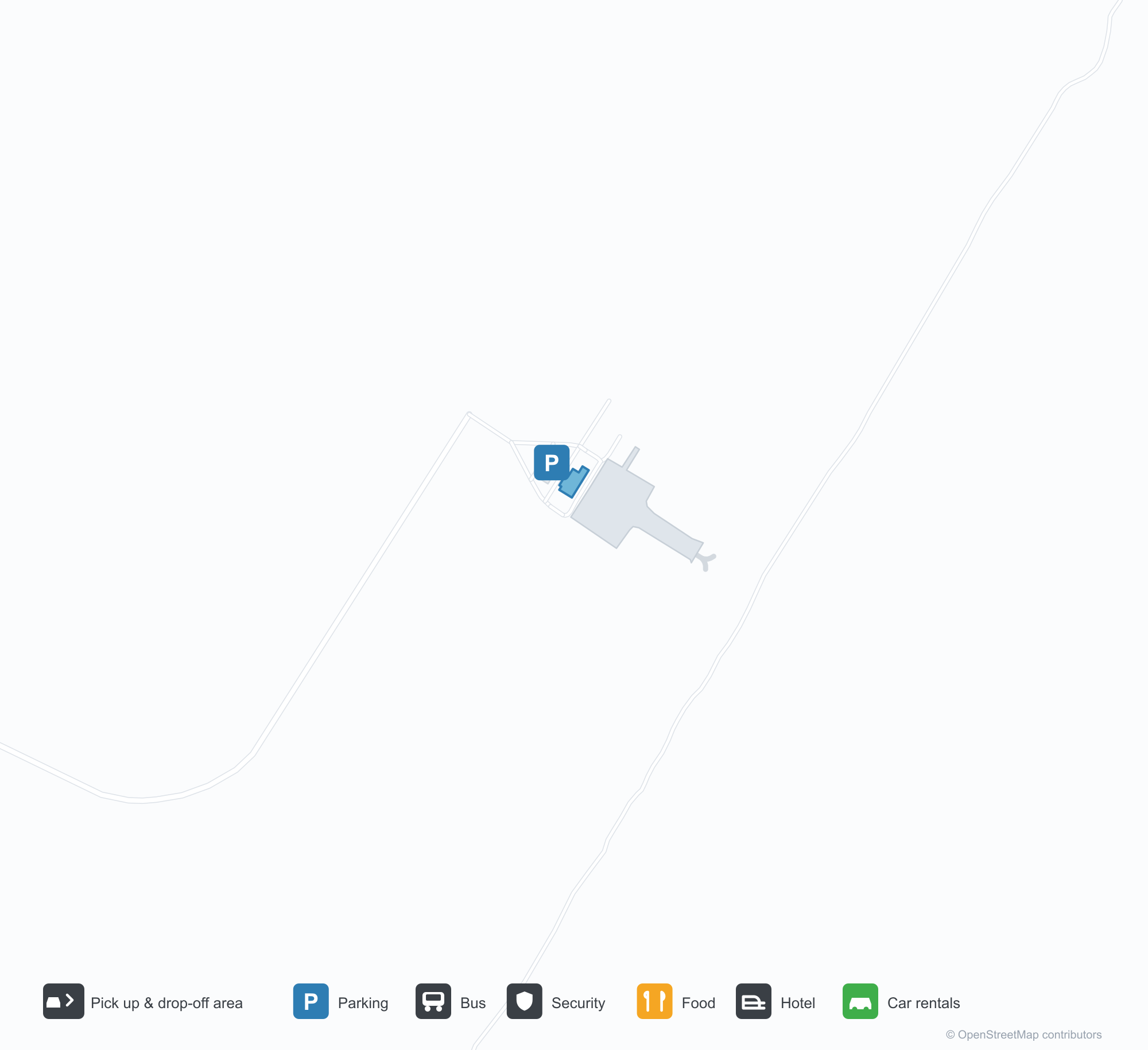
Tải bản đồ sân bayTải xuống
Ảnh sân bayẢnh sân bay
Ảnh thực tế của sân bay này, mỗi ảnh đều ghi nguồn từ trang web công khai nơi tìm thấy ảnh; bản quyền thuộc về nhiếp ảnh gia gốc. Nhấp vào ảnh để phóng to, hoặc nhấp vào dòng ghi nguồn để mở trang nguồn.
Ảnh vệ tinh: đường băng của Arba Minch nằm giữa đồng ruộng và đồi núi trong Thung lũng Tách giãn Ethiopia, nhà ga và sân đỗ ở bên cạnh.
Bản đồ tuyến bay Arba Minch Airport — điểm đến thẳngBản đồ tuyến bay
1 điểm đến thẳng: bản đồ, hãng hàng không khai thác và khoảng cách.
Chuyến bay tại Arba Minch Airport — khởi hành & đếnBảng chuyến bay
6 số hiệu chuyến bay của 1 hãng hàng không, kết nối 1 điểm đến, phân theo chiều bay. Bao gồm số hiệu liên danh.
| Chuyến bay | Hãng hàng không | Điểm đến | Quốc gia/khu vực |
|---|---|---|---|
| ET134 | Ethiopian Airlines | Addis Ababa Bole International Airport | Ethiopia |
| ET170 | Ethiopian Airlines | Addis Ababa Bole International Airport | Ethiopia |
| ET272 | Ethiopian Airlines | Addis Ababa Bole International Airport | Ethiopia |
Số hiệu chuyến bay và tuyến bay từ chỉ mục chuyến bay aviability.com (ảnh chụp 26 tháng 10, 2026); bao gồm số hiệu liên danh và không hiển thị giờ khởi hành. Nguồn: aviability.com ↗
Thông tin & chi tiết sân bayChi tiết sân bay
Bản đồ tương tác — vị trí Arba Minch AirportBản đồ tương tác
Xem sân bay này trên các dịch vụ bản đồ khác:
Arba Minch Airport (AMH): One Domestic Route in the Ethiopian Rift ValleyHướng dẫn sân bay
From above, Arba Minch's runway lies among farmland and hills in the Ethiopian Rift Valley, with the terminal and apron alongside it. The airport serves Arba Minch, Ethiopia, at an elevation of about 1,189 m, with a 2,795 m runway; it is the air gateway to the Lakes Abaya and Chamo area, and the 2014 snapshot lists only Addis Ababa (353 km).
Satellite view
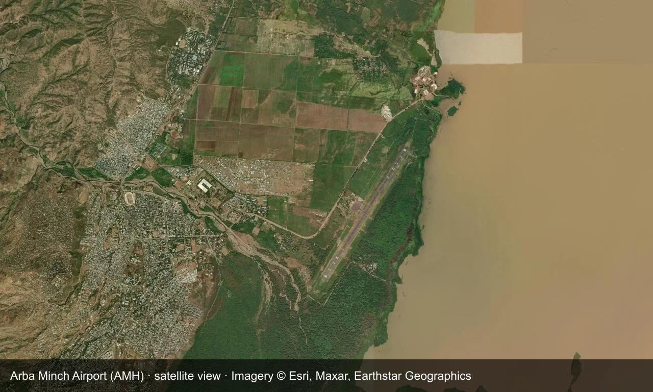
Satellite view: Arba Minch's runway lies among farmland and hills in the Ethiopian Rift Valley, with the terminal and apron alongside it.
The satellite image comes from Esri World Imagery (© Esri, Maxar, Earthstar Geographics); the field and attribution are labelled in the image. This is a satellite view, not a ground-level photograph.
Airport at a glance
| Item | Detail |
|---|---|
| IATA / ICAO | AMH / HAAM |
| Role | Medium-sized airport |
| Elevation | about 1,189 m |
| Coordinates | 6.0394, 37.5905 |
| Runways | 1, 2,795 m |
| Non-stop destinations | 1 (Addis Ababa; 2014 snapshot) |
Runways
| Runway | Length | Width | Surface |
|---|---|---|---|
| 03/21 | 2,795 m | 47 m | asphalt |
1 runway, the longest 2,795 m.
Non-stop routes
1 non-stop destinations, nearest first (OpenFlights route snapshot compiled in 2014 — confirm with the airline or airport):
| Destination | Distance | Carriers |
|---|---|---|
| Addis Ababa Bole International Airport (ADD) | ~353 km | Ethiopian Airlines |
The carrier column comes from the same snapshot and includes codeshare and interline services; treat it as an indication of how busy the route is and check the airline for who actually flies it.
Nearby airports to compare
If the fares are close, these are the nearest airports of the same class (medium-sized airport) — straight-line distance, with their own non-stop counts from the same dataset:
| Airport | Distance | Non-stop destinations |
|---|---|---|
| Asosa Airport (ASO) | ~552 km | 1 |
| Arua Airport (RUA) | ~811 km | 1 |
Before you fly
- With only Addis Ababa, international trips connect there.
- The Rift Valley has a concentrated rainy season, which can affect flights.
About the data
Runways, elevation and coordinates come from OurAirports open data. Routes and carriers come from the June 2014 OpenFlights snapshot and include codeshares and interline services; they indicate network shape and scale, not current schedules.
Bình luận của độc giảThảo luận
Hoan nghênh mọi câu hỏi, báo cáo chuyến đi và góp ý chỉnh sửa. Bình luận được công khai.
Đang tải…
Đang tải bình luận…