
Arba Minch Airport
 Arba Minch · Эфиопия· Arba Minch Airport
Arba Minch Airport (IATA: AMH, ICAO HAAM) — аэропорт среднего размера в городе Arba Minch, Эфиопия.
Arba Minch Airport is a medium-sized airport, at an elevation of about 3,901 ft, with scheduled passenger service. This page gathers its location map, airport codes and travel information.
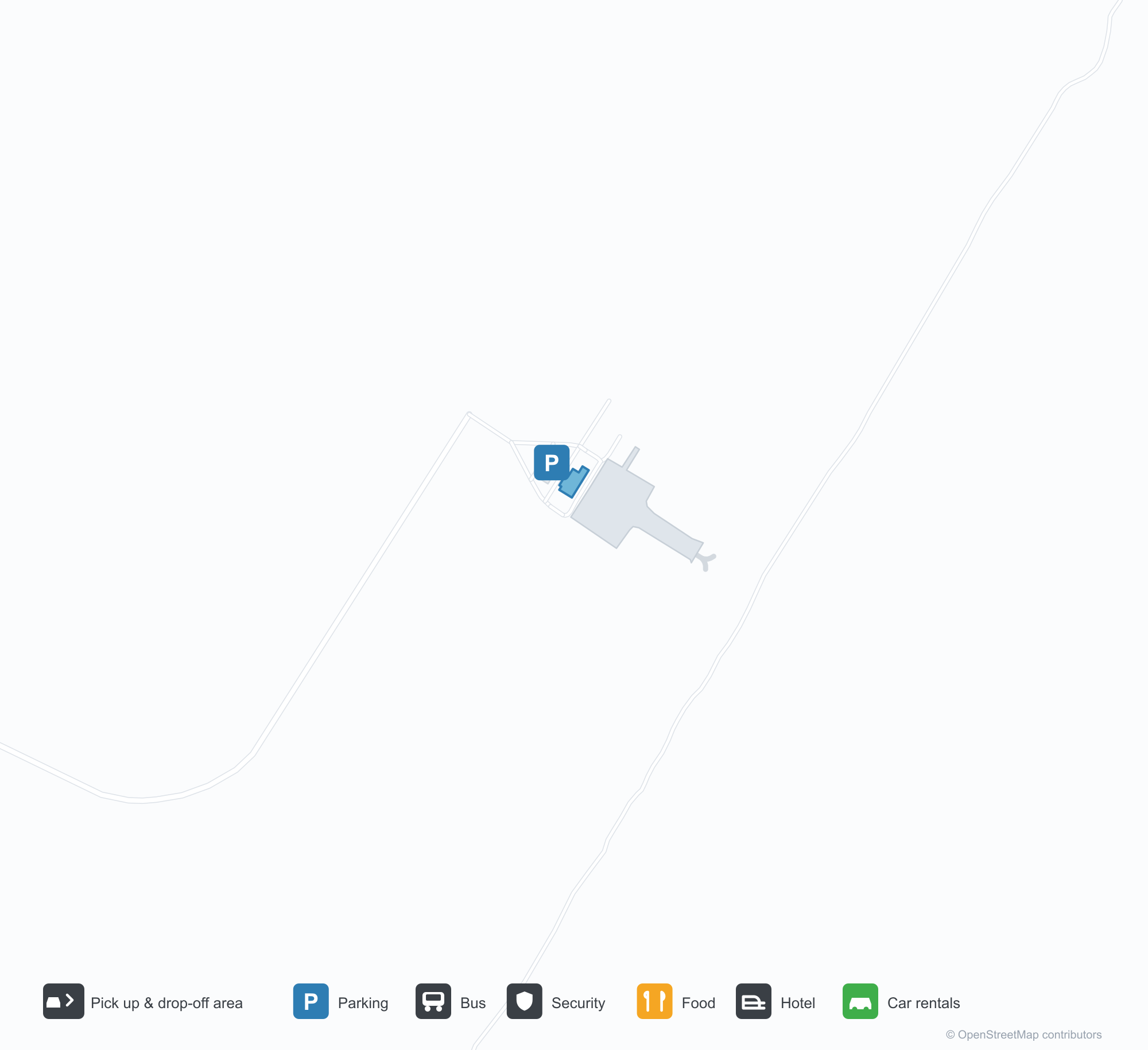
Скачать карты аэропортаЗагрузки
Фотографии аэропортаФото аэропорта
Реальные фотографии этого аэропорта; у каждой указан источник — общедоступная веб-страница. Авторские права принадлежат фотографам. Нажмите на фото, чтобы увеличить, или на подпись, чтобы открыть источник.
Вид со спутника: полоса Арба-Минча лежит среди сельхозугодий и холмов Эфиопской рифтовой долины, рядом — терминал и перрон.
Arba Minch Airport: карта маршрутов — прямые направленияКарта маршрутов
1 прямых направлений: карта, авиакомпании и расстояния.
Arba Minch Airport: рейсы — вылеты и прилётыТабло рейсов
6 номеров рейсов у 1 авиакомпании по 1 направлению, с разбивкой по направлению. Номера код-шеринга также включены.
| Рейс | Авиакомпания | Направление | Страна/регион |
|---|---|---|---|
| ET134 | Ethiopian Airlines | Addis Ababa Bole International Airport | Эфиопия |
| ET170 | Ethiopian Airlines | Addis Ababa Bole International Airport | Эфиопия |
| ET272 | Ethiopian Airlines | Addis Ababa Bole International Airport | Эфиопия |
Номера рейсов и маршруты из индекса рейсов aviability.com (снимок 26 октября 2026 г.); номера код-шеринга включены, время вылета не указано. Источник: aviability.com ↗
Информация об аэропортеСведения об аэропорте
Интерактивная карта: Arba Minch AirportИнтерактивная карта
Посмотреть этот аэропорт на других картографических сервисах:
Arba Minch Airport (AMH): One Domestic Route in the Ethiopian Rift ValleyПутеводитель по аэропорту
From above, Arba Minch's runway lies among farmland and hills in the Ethiopian Rift Valley, with the terminal and apron alongside it. The airport serves Arba Minch, Ethiopia, at an elevation of about 1,189 m, with a 2,795 m runway; it is the air gateway to the Lakes Abaya and Chamo area, and the 2014 snapshot lists only Addis Ababa (353 km).
Satellite view
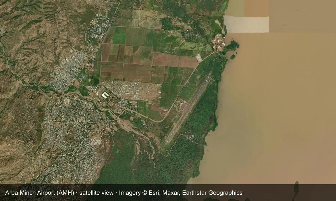
Satellite view: Arba Minch's runway lies among farmland and hills in the Ethiopian Rift Valley, with the terminal and apron alongside it.
The satellite image comes from Esri World Imagery (© Esri, Maxar, Earthstar Geographics); the field and attribution are labelled in the image. This is a satellite view, not a ground-level photograph.
Airport at a glance
| Item | Detail |
|---|---|
| IATA / ICAO | AMH / HAAM |
| Role | Medium-sized airport |
| Elevation | about 1,189 m |
| Coordinates | 6.0394, 37.5905 |
| Runways | 1, 2,795 m |
| Non-stop destinations | 1 (Addis Ababa; 2014 snapshot) |
Runways
| Runway | Length | Width | Surface |
|---|---|---|---|
| 03/21 | 2,795 m | 47 m | asphalt |
1 runway, the longest 2,795 m.
Non-stop routes
1 non-stop destinations, nearest first (OpenFlights route snapshot compiled in 2014 — confirm with the airline or airport):
| Destination | Distance | Carriers |
|---|---|---|
| Addis Ababa Bole International Airport (ADD) | ~353 km | Ethiopian Airlines |
The carrier column comes from the same snapshot and includes codeshare and interline services; treat it as an indication of how busy the route is and check the airline for who actually flies it.
Nearby airports to compare
If the fares are close, these are the nearest airports of the same class (medium-sized airport) — straight-line distance, with their own non-stop counts from the same dataset:
| Airport | Distance | Non-stop destinations |
|---|---|---|
| Asosa Airport (ASO) | ~552 km | 1 |
| Arua Airport (RUA) | ~811 km | 1 |
Before you fly
- With only Addis Ababa, international trips connect there.
- The Rift Valley has a concentrated rainy season, which can affect flights.
About the data
Runways, elevation and coordinates come from OurAirports open data. Routes and carriers come from the June 2014 OpenFlights snapshot and include codeshares and interline services; they indicate network shape and scale, not current schedules.
Комментарии читателейОбсуждение
Вопросы, отчёты о поездках и исправления приветствуются. Комментарии видны всем.
Загрузка…
Загрузка комментариев…