
Rafaela Airport
 Rafaela · อาร์เจนตินา· Rafaela Airport
Rafaela Airport (IATA: RAF, ICAO SAFR) เป็นสนามบินขนาดเล็กที่ให้บริการRafaela, อาร์เจนตินา
Rafaela Airport is a small airport, at an elevation of about 325 ft. This page gathers its location map, airport codes and travel information.
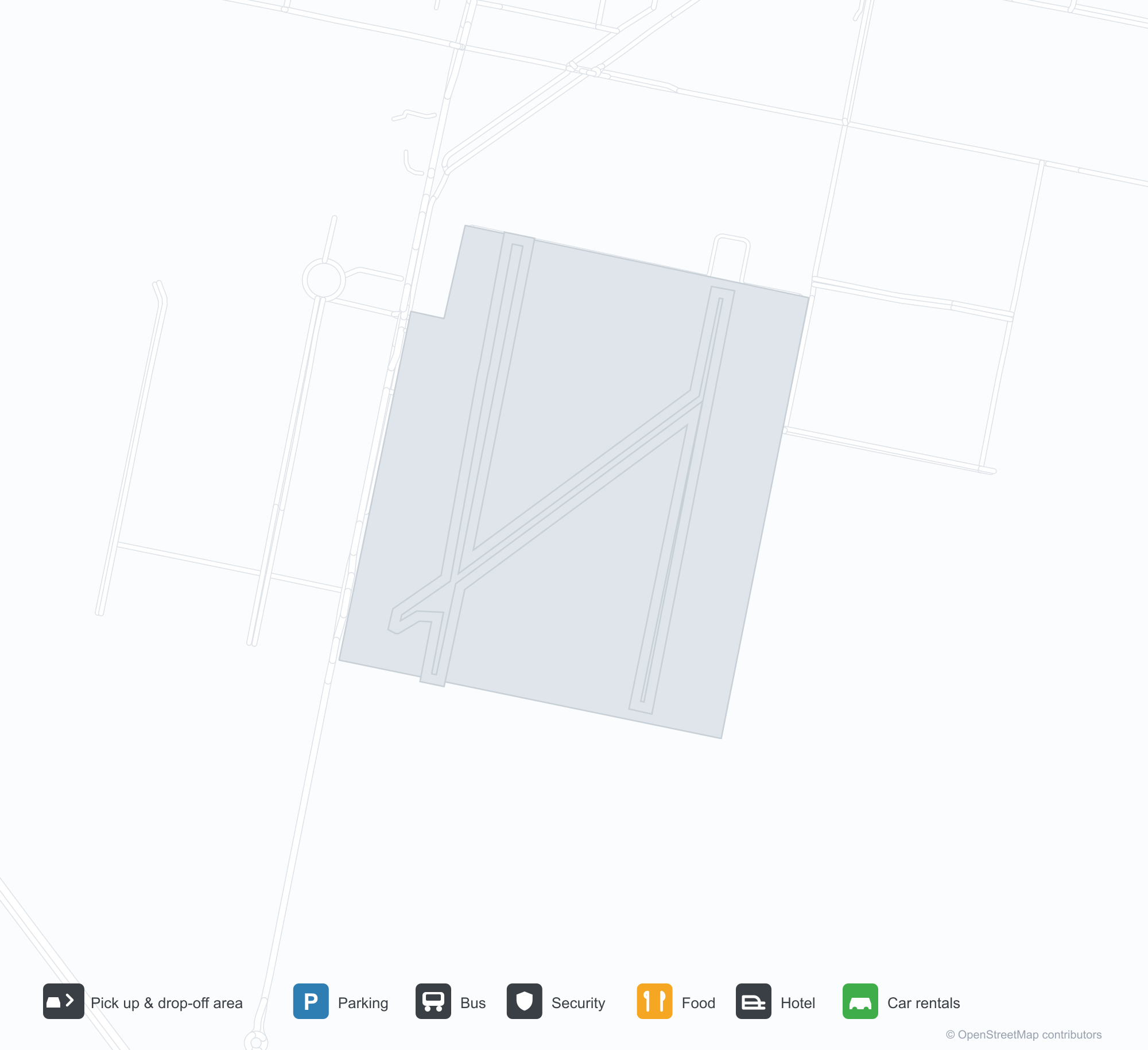
ดาวน์โหลดแผนที่สนามบินดาวน์โหลด
ภาพสนามบินภาพสนามบิน
ภาพจริงของสนามบินแห่งนี้ พร้อมเครดิตของหน้าเว็บสาธารณะที่พบภาพ; ลิขสิทธิ์ยังเป็นของผู้ถ่ายภาพต้นฉบับ คลิกที่ภาพเพื่อขยาย หรือคลิกบรรทัดเครดิตเพื่อเปิดหน้าแหล่งที่มา
ในภาพถ่ายดาวเทียม ทางวิ่งของท่าอากาศยานราฟาเอลา (RAF) อยู่ระหว่างพื้นดินแห้งและที่ดินว่างเปล่า
ข้อมูลและรายละเอียดสนามบินรายละเอียดสนามบิน
แผนที่อินเทอร์แอกทีฟ — ตำแหน่ง Rafaela Airportแผนที่อินเทอร์แอกทีฟ
ดูสนามบินนี้บนบริการแผนที่อื่น:
Rafaela Airport (RAF) Guide: No scheduled services on recordคู่มือสนามบิน
The satellite view of Rafaela Airport (RAF) in Argentina shows dry ground broken by vegetation and fields around the field. At about 99 m above sea level, the airport has 3 runways, the longest 1,125 m. No scheduled routes appear in 2014; the closest airport is Sauce Viejo Airport, 81 km away.
Satellite view
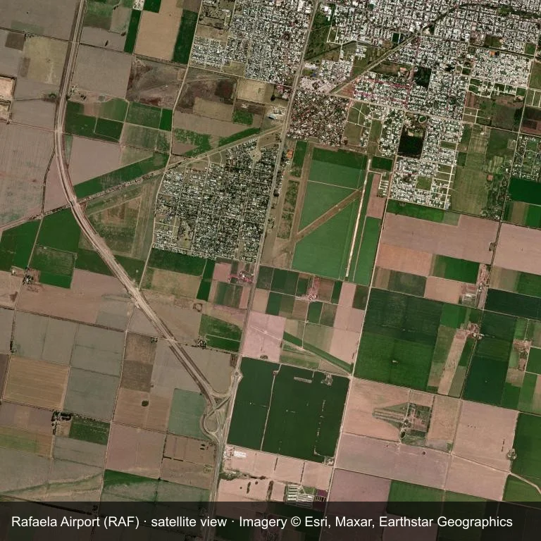
Satellite image: Rafaela Airport (RAF) lies among dry ground broken by vegetation and fields.
Imagery: Esri World Imagery (© Esri, Maxar, Earthstar Geographics), with attribution in the image. It shows the field from orbit, not from the ground.
Airport at a glance
| Item | Detail |
|---|---|
| IATA / ICAO | RAF / SAFR |
| Role | small airport |
| Elevation | about 99 m |
| Coordinates | -31.2825, -61.5017 |
| Runways | 3, longest 1,125 m |
| Non-stop destinations | 0 in the 2014 snapshot |
Runways
| Runway | Length | Surface |
|---|---|---|
| 01R/19L | 1,125 m | CON |
| 01L/19R | 1,107 m | GRE |
| 6/24 | 1,099 m | GRE |
Why there is no route table
RAF has an empty route table in the 2014 snapshot. The dataset only covers services it recorded, so treat the blank as a gap rather than a closure notice.
Nearby airports
| Airport | Distance | Non-stop destinations |
|---|---|---|
| Sauce Viejo Airport (SFN) | ~81 km | 1 |
| General Urquiza Airport (PRA) | ~112 km | 1 |
| Rosario Islas Malvinas International Airport (ROS) | ~192 km | 5 |
Getting there and navigating
- Coordinates: -31.2825, -61.5017
- Open in a map: Google Maps | Amap | Baidu Maps
The map shows the field in its local road context. This page does not cover terminal links or local transport; confirm those with the operator.
Airport sketch
Rafaela Airport occupies ground in Argentina surrounded by dry ground broken by vegetation and fields. The 01R/19L runway runs north–south and offers 1,125 m of runway; elevation is about 99 m.
The runway gives 1,125 m of runway, a turboprop and light-jet profile. The surface type is not listed in the open data. Sauce Viejo Airport is 81 km away, with 1 destination in the same snapshot.
With no routes in the 2014 data, this is not a reliable scheduled destination. Use Sauce Viejo Airport as the nearest back-up and verify access with the airport operator.
Before you fly
- The 1,125 m runway limits operations to small aircraft; baggage and payload limits are usually strict.
- The runway is paved, which supports year-round operations, but scheduled service is still not guaranteed.
- Sauce Viejo Airport is 81 km away with 1 destination in the 2014 snapshot, making it the nearest alternative for a scheduled flight.
- The site has no terminal guide on this page, so allow extra time for local arrangements and onward transport.
- Treat this as a general-aviation or charter field rather than a large terminal; confirm handling and opening hours in advance.
About the data
Runways, elevation and coordinates come from OurAirports open data; routes come from the June 2014 OpenFlights snapshot. That snapshot describes network shape and scale, not current schedules.
ความคิดเห็นจากผู้อ่านการสนทนา
ยินดีรับคำถาม รายงานการเดินทาง และการแก้ไข ความคิดเห็นเป็นสาธารณะ
กำลังโหลด…
กำลังโหลดความคิดเห็น…