
La Fortuna Arenal Airport
 La Fortuna · คอสตาริกา· La Fortuna Arenal Airport
La Fortuna Arenal Airport (IATA: FON, ICAO MRAN) เป็นสนามบินขนาดกลางที่ให้บริการLa Fortuna, คอสตาริกา
La Fortuna Arenal Airport is a medium-sized airport, at an elevation of about 342 ft, with scheduled passenger service. This page gathers its location map, airport codes and travel information.
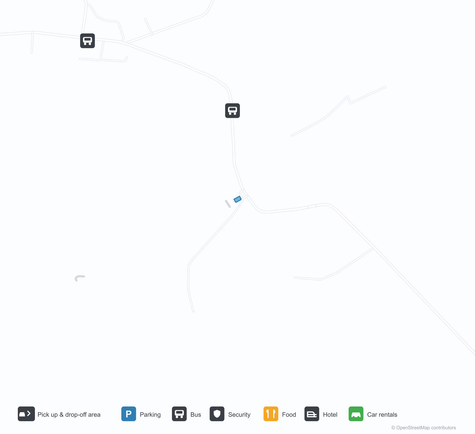
ดาวน์โหลดแผนที่สนามบินดาวน์โหลด
ภาพสนามบินภาพสนามบิน
ภาพจริงของสนามบินแห่งนี้ พร้อมเครดิตของหน้าเว็บสาธารณะที่พบภาพ; ลิขสิทธิ์ยังเป็นของผู้ถ่ายภาพต้นฉบับ คลิกที่ภาพเพื่อขยาย หรือคลิกบรรทัดเครดิตเพื่อเปิดหน้าแหล่งที่มา
ภาพถ่ายดาวเทียม: สนามบินลาฟอร์ตูนาถูกล้อมด้วยวงกลมสีแดง โดยมีป่าฝนและพื้นที่เกษตรกรรมรอบ ๆ ในคอสตาริกา
ในภาพถ่ายทางอากาศ ทางวิ่งที่มีเครื่องหมาย 24 ตัดผ่านทุ่งสีเขียว โดยมีอาคารหลังคาแดงและโรงเก็บอากาศยานสีเขียวรวมกลุ่มที่ปลายด้านหนึ่ง พร้อมป่าฝนและภูเขาอยู่ไกลออกไป
ยามพระอาทิตย์ตก เครื่องบินเครื่องยนต์เดียวสีแดงขาวรออยู่บนทางวิ่งที่มีเครื่องหมาย FON ขณะที่ภูเขาไฟลูกใหญ่ตั้งตระหง่านเป็นกรวยสีเข้มใต้ท้องฟ้าเรืองแสง
เครื่องบินใบพัดเครื่องยนต์เดียวสีขาวที่ทำเครื่องหมาย SANSA แล่นไปตามทางวิ่ง โดยมีภูเขาไฟทรงกรวยชันตั้งอยู่ด้านหลังสู่ท้องฟ้าสีอ่อน
สปินเนอร์ใบพัดและฝาครอบเครื่องยนต์เต็มฉากหน้าทางซ้าย เลยออกไปลานจอดว่างเปล่าทอดไปยังภูเขาไฟที่อยู่ใต้กองเมฆคิวมูลัส
เครื่องบินใบพัดสองเครื่องยนต์สีขาวที่มีชื่อ NatureAir จอดอยู่ที่ขอบหญ้าโดยมีกรวยสีส้มอยู่ข้าง ๆ ภูเขาไฟไกล ๆ จางหายไปในหมอก
เครื่องบินใบพัดเครื่องยนต์เดียวสีขาวบินเข้าใกล้โดยลดล้อลง เฉียดยอดไม้เตี้ย ๆ ขณะเข้ามาลงจอดบนทางวิ่งที่ขนาบด้วยป่า
ผู้โดยสารพร้อมเป้เดินแยกออกไปทั่วลานจอด ขณะที่เจ้าหน้าที่ภาคพื้นถือคลิปบอร์ดยืนอยู่ข้างเครื่องบินที่ทำเครื่องหมาย SANSA โดยมีภูเขาไฟที่ถูกเมฆปกคลุมอยู่ด้านหลัง
แผนที่เส้นทาง La Fortuna Arenal Airport — จุดหมายบินตรงแผนที่เส้นทาง
2 จุดหมายบินตรง: แผนที่ สายการบินที่ให้บริการ และระยะทาง
เที่ยวบินของLa Fortuna Arenal Airport — ขาออกและขาเข้าป้ายเที่ยวบิน
24 หมายเลขเที่ยวบิน ครอบคลุม 2 สายการบิน และ 5 จุดหมายปลายทาง แยกตามทิศทาง หมายเลขเที่ยวบินร่วม (codeshare) รวมอยู่ด้วย
| เที่ยวบิน | สายการบิน | จุดหมายปลายทาง | ประเทศ/ภูมิภาค |
|---|---|---|---|
| RZ1114 | Sansa Airlines | ACO | |
| RZ1122 | Sansa Airlines | Juan Santamaría International Airport | คอสตาริกา |
| RZ1124 | Sansa Airlines | Quepos (XQP) Quepos Managua Airport | คอสตาริกา |
| RZ6879 | Sansa Airlines | Juan Santamaría International Airport | คอสตาริกา |
| RZ6881 | Sansa Airlines | Juan Santamaría International Airport | คอสตาริกา |
| RZ6883 | Sansa Airlines | Juan Santamaría International Airport | คอสตาริกา |
| W13284 | World Ticket | Juan Santamaría International Airport | คอสตาริกา |
| W13286 | World Ticket | Juan Santamaría International Airport | คอสตาริกา |
| W13288 | World Ticket | Juan Santamaría International Airport | คอสตาริกา |
หมายเลขเที่ยวบินและเส้นทางจากดัชนีเที่ยวบิน aviability.com (ข้อมูล ณ วันที่ 26 ตุลาคม 2569); รวมหมายเลขเที่ยวบินร่วมและไม่แสดงเวลาเดินทาง ที่มา: aviability.com ↗
ข้อมูลและรายละเอียดสนามบินรายละเอียดสนามบิน
แผนที่อินเทอร์แอกทีฟ — ตำแหน่ง La Fortuna Arenal Airportแผนที่อินเทอร์แอกทีฟ
ดูสนามบินนี้บนบริการแผนที่อื่น:
La Fortuna Airport (FON): Two Domestic Routes Beside Arenal Volcanoคู่มือสนามบิน
Seen from above, La Fortuna's short runway lies among rainforest and volcanic hills in Costa Rica, with the terminal and apron alongside it. The airport serves La Fortuna, Costa Rica, at an elevation of about 104 m, with an 800 m runway; the 2014 snapshot records two domestic destinations, San José at 67 km and Quepos at 124 km.
Satellite view
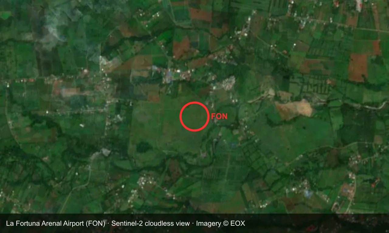
Satellite view: La Fortuna airport is circled in red, surrounded by rainforest and farmland in Costa Rica.
The satellite image comes from Sentinel-2 cloudless (© EOX); the field and attribution are labelled in the image. This is a satellite view, not a ground-level photograph.
Airport at a glance
| Item | Detail |
|---|---|
| IATA / ICAO | FON / MRAN |
| Role | Medium-sized airport |
| Elevation | about 104 m |
| Coordinates | 10.4693, -84.5791 |
| Runways | 1, 800 m |
| Non-stop destinations | 2 (2014 snapshot, all domestic) |
Runways
| Runway | Length | Width | Surface |
|---|---|---|---|
| 06/24 | 800 m | — | asphalt |
1 runway, the longest 800 m.
Non-stop routes
2 non-stop destinations, nearest first (OpenFlights route snapshot compiled in 2014 — confirm with the airline or airport):
| Destination | Distance | Carriers |
|---|---|---|
| Juan Santamaría International Airport (SJO) | ~67 km | LACSA |
| Quepos Managua Airport (XQP) | ~124 km | CAL Cargo Air Lines, LACSA |
The carrier column comes from the same snapshot and includes codeshare and interline services; treat it as an indication of how busy the route is and check the airline for who actually flies it.
Nearby airports to compare
If the fares are close, these are the nearest airports of the same class (medium-sized airport) — straight-line distance, with their own non-stop counts from the same dataset:
| Airport | Distance | Non-stop destinations |
|---|---|---|
| Tortuguero Airport (TTQ) | ~117 km | — |
| Alonso Valderrama Airport (CTD) | ~534 km | — |
Before you fly
- The 800 m runway takes only small aircraft, with strict baggage limits.
- La Fortuna is the gateway to Arenal Volcano, and wet-season weather more often disrupts flights.
About the data
Runways, elevation and coordinates come from OurAirports open data. Routes and carriers come from the June 2014 OpenFlights snapshot and include codeshares and interline services; they indicate network shape and scale, not current schedules.
ความคิดเห็นจากผู้อ่านการสนทนา
ยินดีรับคำถาม รายงานการเดินทาง และการแก้ไข ความคิดเห็นเป็นสาธารณะ
กำลังโหลด…
กำลังโหลดความคิดเห็น…