
Austin Executive Airport
 Austin · สหรัฐอเมริกา· Austin Executive Airport
Austin Executive Airport (IATA: EDC, ICAO KEDC) เป็นสนามบินขนาดกลางที่ให้บริการAustin, สหรัฐอเมริกา
Austin Executive Airport is a medium-sized airport, at an elevation of about 620 ft. This page gathers its location map, airport codes and travel information.
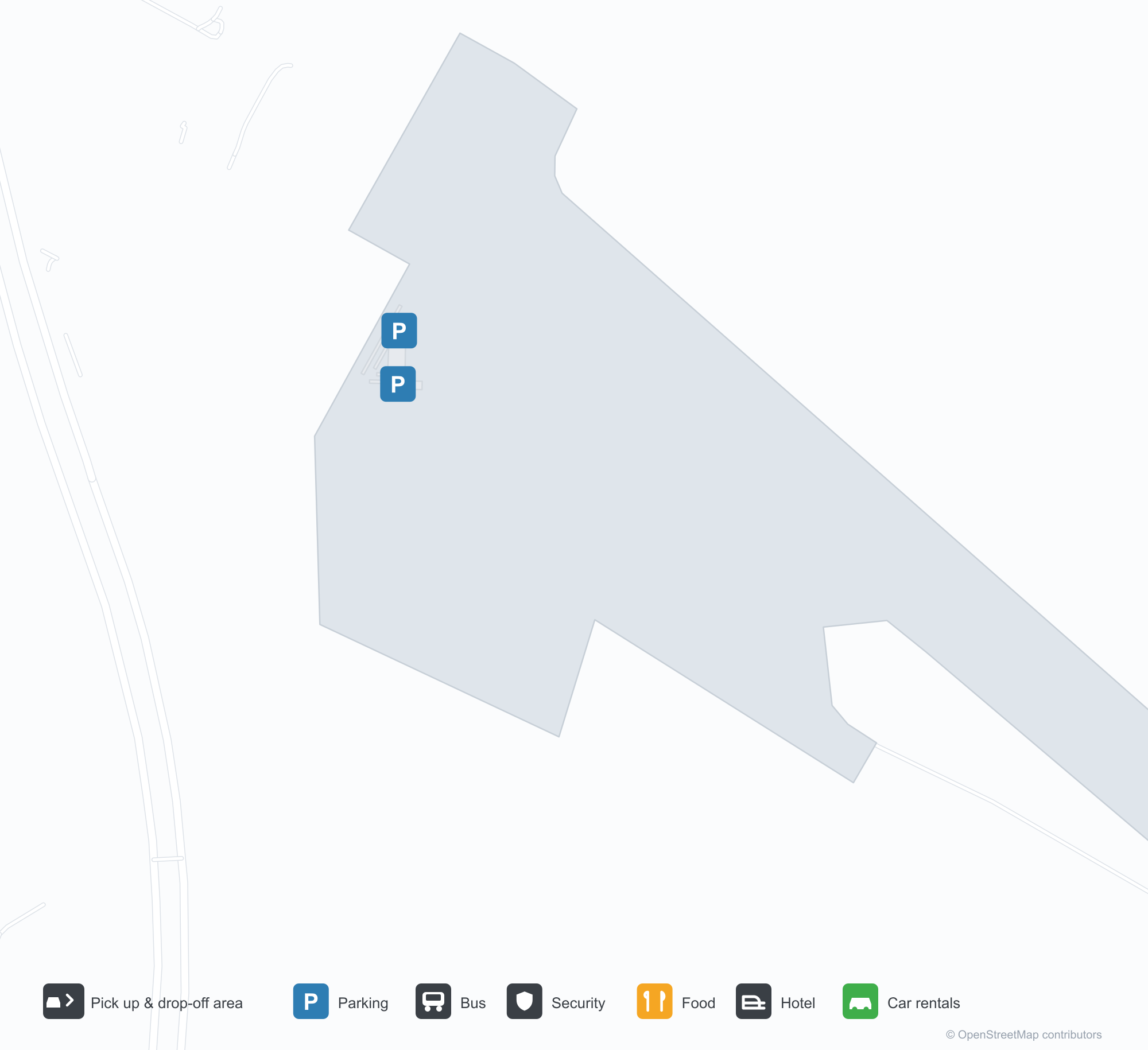
ดาวน์โหลดแผนที่สนามบินดาวน์โหลด
ภาพสนามบินภาพสนามบิน
ภาพจริงของสนามบินแห่งนี้ พร้อมเครดิตของหน้าเว็บสาธารณะที่พบภาพ; ลิขสิทธิ์ยังเป็นของผู้ถ่ายภาพต้นฉบับ คลิกที่ภาพเพื่อขยาย หรือคลิกบรรทัดเครดิตเพื่อเปิดหน้าแหล่งที่มา
หอบังคับการบินสีขาวของสนามบิน — ห้องควบคุมกระจกบนเพลาสี่เหลี่ยม มีรถยนต์และเฮลิคอปเตอร์ที่ฐาน
ในพลบค่ำสีน้ำเงินเข้ม โรงเก็บอากาศยานสีขาวหลังคาโค้งกว้างเรืองแสงไฟ ด้านหน้ากระจกมีตัวอักษร Henriksen เหนือลานจอด
ยามพลบค่ำ เครื่องบินเจ็ตธุรกิจสีขาวรออยู่ใต้หลังคากันแดดโค้ง ขณะที่รถบรรทุกน้ำมันทำงานอยู่ข้าง ๆ โดยมีกรวยสีส้มทำเครื่องหมายลานคอนกรีต
เลานจ์กว้างขวางพื้นไม้สีอ่อนและเสาหินมองออกผ่านหน้าต่างสูงสู่ลานจอด โดยมีเครื่องยนต์เจ็ตขนาดใหญ่จัดแสดงบนแท่นตรงกลาง
หลังเคาน์เตอร์ต้อนรับ เจ้าหน้าที่สองคนส่งชุดกุญแจข้ามเคาน์เตอร์ โดยมีโลโก้ Austin Executive แสดงบนจอข้าง ๆ
ภายใต้ท้องฟ้าสีฟ้าใส โรงเก็บอากาศยานสีขาวหลังใหญ่มีข้อความ Austin Executive Airport โดยมีเสากันชนสีเหลืองเรียงตามถนนคอนกรีตที่ว่างเปล่าด้านหน้า
โรงเก็บอากาศยานสว่างไสวหลังมืด โดยมีเครื่องบินเครื่องยนต์เดียวขนาดเล็กหลายลำและเครื่องบินสองเครื่องยนต์หนึ่งลำจอดเคียงกันบนพื้นขัดเงา
ยามค่ำคืน หลังคากันแดดโค้งด้านนอกโรงเก็บอากาศยานเรืองแสงด้วยโคมไฟเป็นแถว ส่องผนังสีขาวและลานคอนกรีตกว้าง
ข้อมูลและรายละเอียดสนามบินรายละเอียดสนามบิน
แผนที่อินเทอร์แอกทีฟ — ตำแหน่ง Austin Executive Airportแผนที่อินเทอร์แอกทีฟ
ดูสนามบินนี้บนบริการแผนที่อื่น:
Austin Executive Airport (EDC): A Control Tower for Business Aviationคู่มือสนามบิน
The photo shows Austin Executive's white control tower: a square shaft topped by a glazed cab, with vehicles and a helicopter below. The field serves Austin, Texas, at an elevation of about 189 m; OurAirports does not list its runway dimensions, and the 2014 snapshot records no scheduled routes, as it mainly serves business aviation.
Airport photos
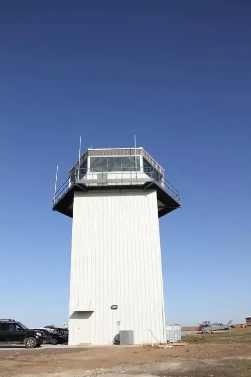
The airport's white control tower — a glazed cab on a square shaft, vehicles and a helicopter at its base.
The photos come from public web sources and remain the copyright of their photographers; full credits and source links sit in the photo gallery on this page.
Airport at a glance
| Item | Detail |
|---|---|
| IATA / ICAO | EDC / KEDC |
| Role | Medium-sized airport |
| Elevation | about 189 m |
| Coordinates | 30.3980, -97.5669 |
| Runways | Not listed in OurAirports |
| Non-stop destinations | 0 in the 2014 snapshot |
Runways
OurAirports does not list runway dimensions for this airport.
Non-stop routes
The route dataset carries no scheduled non-stop services for this airport. Regional schedules change often — confirm with the airline or airport before booking.
Before you fly
- This is a business-aviation field with no scheduled passenger service; private flights need prior contact with the FBO.
- For commercial flights, Austin-Bergstrom (AUS) is the city's main airport.
About the data
Runways, elevation and coordinates come from OurAirports open data. Routes and carriers come from the June 2014 OpenFlights snapshot and include codeshares and interline services; they indicate network shape and scale, not current schedules.
ความคิดเห็นจากผู้อ่านการสนทนา
ยินดีรับคำถาม รายงานการเดินทาง และการแก้ไข ความคิดเห็นเป็นสาธารณะ
กำลังโหลด…
กำลังโหลดความคิดเห็น…