
Arctic Village Airport
 Arctic Village · США· Arctic Village Airport
Arctic Village Airport (IATA: ARC, ICAO PARC) — аэропорт среднего размера в городе Arctic Village, США.
Arctic Village Airport is a medium-sized airport, at an elevation of about 2,092 ft, with scheduled passenger service. This page gathers its location map, airport codes and travel information.
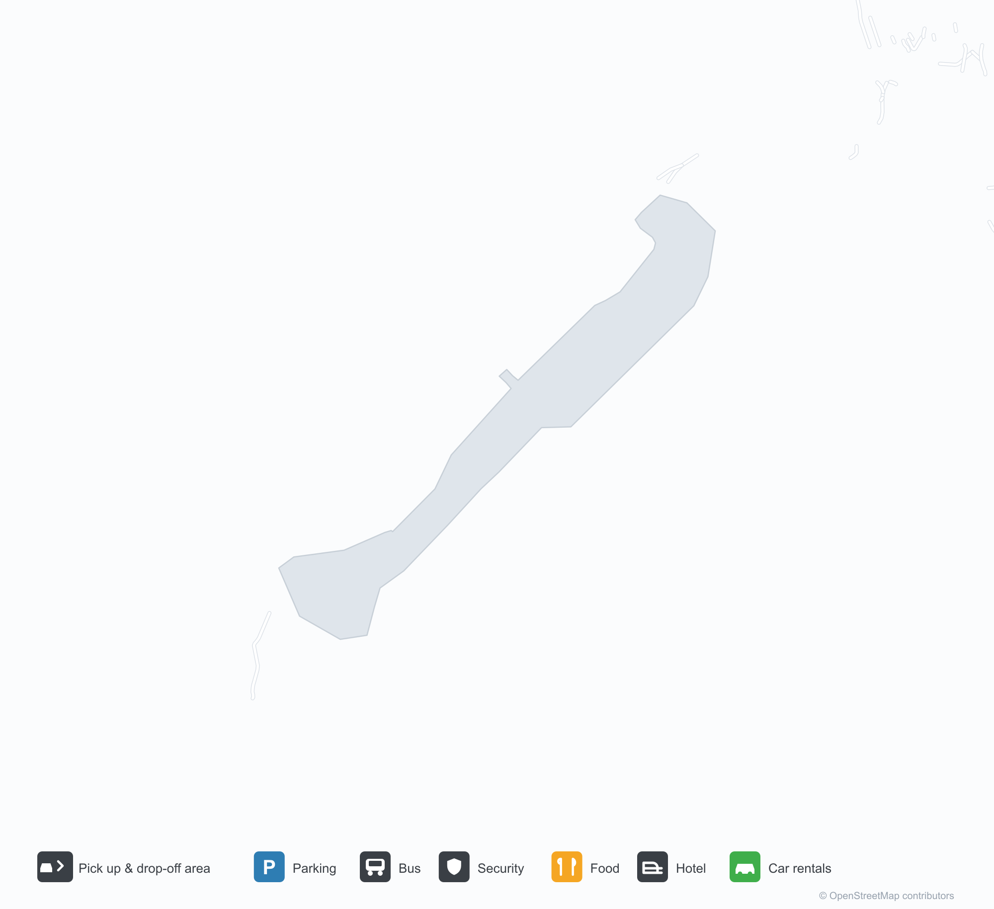
Скачать карты аэропортаЗагрузки
Фотографии аэропортаФото аэропорта
Реальные фотографии этого аэропорта; у каждой указан источник — общедоступная веб-страница. Авторские права принадлежат фотографам. Нажмите на фото, чтобы увеличить, или на подпись, чтобы открыть источник.
Вид со спутника: гравийная полоса прорезает леса и озёра у Арктик-Виллидж, деревня расположена у её северного конца.
Arctic Village Airport: рейсы — вылеты и прилётыТабло рейсов
6 номеров рейсов у 2 авиакомпаний по 2 направлениям, с разбивкой по направлению. Номера код-шеринга также включены.
| Рейс | Авиакомпания | Направление | Страна/регион |
|---|---|---|---|
| 5V5041 | Everts Air | Fairbanks (FAI) Fairbanks International Airport | США |
| 5V5043 | Everts Air | Fairbanks (FAI) Fairbanks International Airport | США |
| 8V331 | Wright Air Service | VEE |
Номера рейсов и маршруты из индекса рейсов aviability.com (снимок 26 октября 2026 г.); номера код-шеринга включены, время вылета не указано. Источник: aviability.com ↗
Информация об аэропортеСведения об аэропорте
Интерактивная карта: Arctic Village AirportИнтерактивная карта
Посмотреть этот аэропорт на других картографических сервисах:
Arctic Village Airport (ARC): A Gravel Runway Through Woods and LakesПутеводитель по аэропорту
From above, a gravel runway cuts through woods and lakes, with the village at its northern end and the rivers and wetlands of interior Alaska around it. The field serves Arctic Village, Alaska, at an elevation of about 638 m, with a 1,372 m gravel runway; the 2014 snapshot records no scheduled routes.
Satellite view
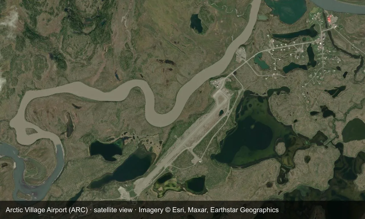
Satellite view: a gravel runway cuts through woods and lakes near Arctic Village, with the village at its northern end.
The satellite image comes from Esri World Imagery (© Esri, Maxar, Earthstar Geographics); the field and attribution are labelled in the image. This is a satellite view, not a ground-level photograph.
Airport at a glance
| Item | Detail |
|---|---|
| IATA / ICAO | ARC / PARC |
| Role | Medium-sized airport |
| Elevation | about 638 m |
| Coordinates | 68.1147, -145.5790 |
| Runways | 1, 1,372 m |
| Non-stop destinations | 0 in the 2014 snapshot |
Runways
| Runway | Length | Width | Surface |
|---|---|---|---|
| 02/20 | 1,372 m | 23 m | GVL |
1 runway, the longest 1,372 m.
Non-stop routes
The route dataset carries no scheduled non-stop services for this airport. Regional schedules change often — confirm with the airline or airport before booking.
Nearby airports to compare
If the fares are close, these are the nearest airports of the same class (medium-sized airport) — straight-line distance, with their own non-stop counts from the same dataset:
| Airport | Distance | Non-stop destinations |
|---|---|---|
| Anaktuvuk Pass Airport (AKP) | ~255 km | 1 |
| Allen Army Airfield (BIG) | ~458 km | — |
Before you fly
- There is no road link; access is mainly by small aircraft, and weather can disrupt flights, so build in a buffer.
- No scheduled routes are recorded; arrange charters or general-aviation flights directly with the operator.
About the data
Runways, elevation and coordinates come from OurAirports open data. Routes and carriers come from the June 2014 OpenFlights snapshot and include codeshares and interline services; they indicate network shape and scale, not current schedules.
History
Owned by the Venetie Tribal Government, the field has a single 1,372 m gravel runway. Nearly 90% of its 1,627 operations in 2005 were air taxis — the village's main link to the outside world.
Source: Arctic Village Airport.
Комментарии читателейОбсуждение
Вопросы, отчёты о поездках и исправления приветствуются. Комментарии видны всем.
Загрузка…
Загрузка комментариев…