
Adirondack Regional Airport
 Saranac Lake · 미국· Adirondack Regional Airport
Adirondack Regional Airport(IATA: SLK, ICAO: KSLK)은 미국 Saranac Lake에 위치한 중형 공항입니다.
Adirondack Regional Airport is a medium-sized airport, at an elevation of about 1,663 ft, with scheduled passenger service. This page gathers its location map, airport codes and travel information.
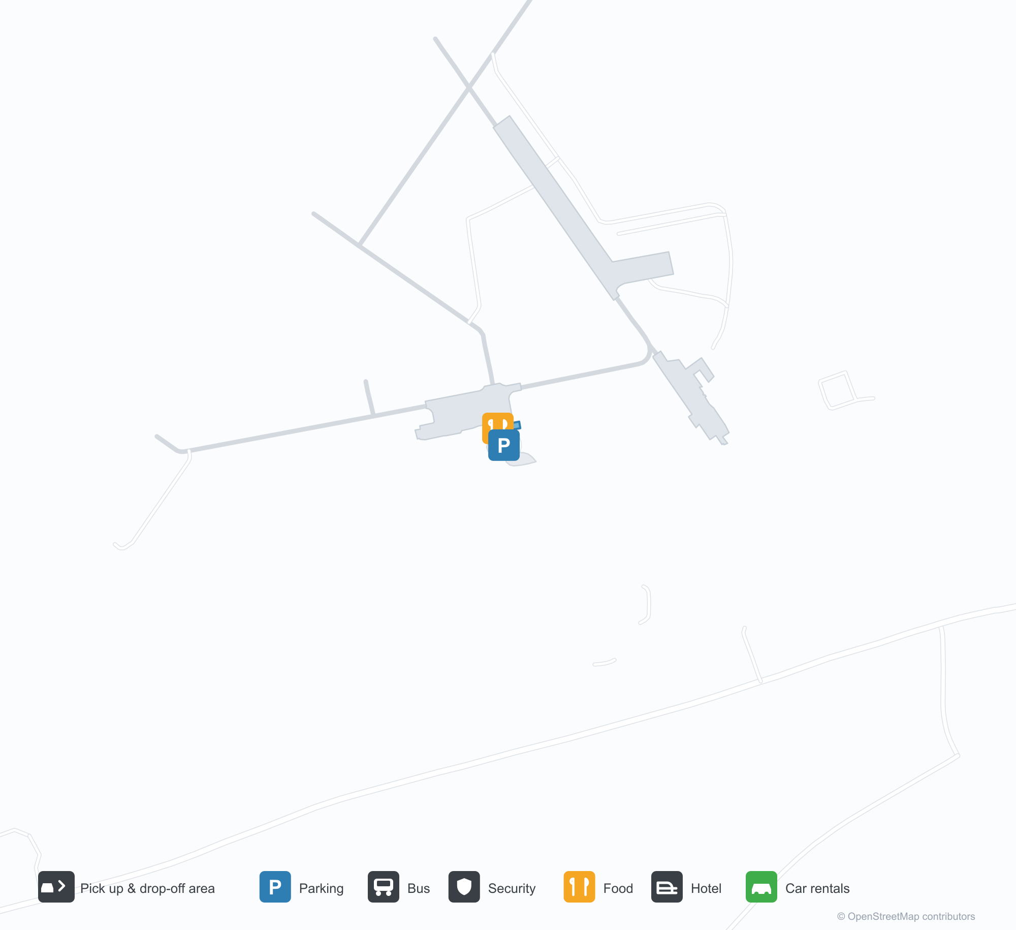
공항 지도 다운로드다운로드
공항 실제 사진공항 사진
다음은 이 공항의 실제 사진으로, 모두 공개된 인터넷 출처에서 가져왔으며 사진마다 출처를 표시했습니다. 저작권은 원저작자에게 있습니다. 사진을 클릭하면 크게 볼 수 있고, 출처를 클릭하면 원본 페이지가 열립니다.
위성 사진: 녹색 식생과 농지에 둘러싸인 애디론댁 지역 공항(SLK).
Adirondack Regional Airport 노선도 · 직항 목적지노선도
직항 목적지 1개: 노선도, 운항 항공사, 비행 거리.
공항 정보 및 상세공항 상세
Adirondack Regional Airport 인터랙티브 지도 — 공항 위치인터랙티브 지도
다른 지도 서비스에서 이 공항 보기:
Adirondack Regional Airport (SLK) Guide: One route to Boston Logan International Airport공항 안내
From above, Adirondack Regional Airport (SLK) lies in the United States, surrounded by green vegetation and farmland. It is a medium-sized airport at an elevation of about 507 m, with 2 runways, the longest 2,003 m; the 2014 snapshot records one destination, Boston Logan International Airport (343 km).
Satellite view
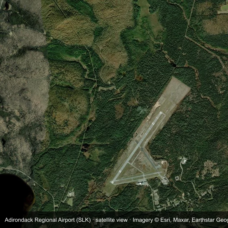
Satellite view: Adirondack Regional Airport (SLK) is surrounded by green vegetation and farmland.
The satellite image comes from Esri World Imagery (© Esri, Maxar, Earthstar Geographics); the field and attribution are labelled in the image. This is a satellite view, not a ground-level photograph.
Airport at a glance
| Item | Detail |
|---|---|
| IATA / ICAO | SLK / KSLK |
| Role | medium-sized airport |
| Elevation | about 507 m |
| Coordinates | 44.3869, -74.2046 |
| Runways | 2, longest 2,003 m |
| Non-stop destinations | 1 (2014 snapshot) |
Runways
| Runway | Length | Surface |
|---|---|---|
| 05/23 | 2,003 m | ASP |
| 09/27 | 1,218 m | ASP |
Routes and connections
| Destination | Distance | Carriers |
|---|---|---|
| Boston Logan International Airport (BOS) | ~343 km | Cape Air |
The full list is on the Adirondack Regional Airport route map.
Nearby airports
| Airport | Distance | Non-stop destinations |
|---|---|---|
| Plattsburgh International Airport (PBG) | ~65.4 km | 5 |
| Massena International Airport Richards Field (MSS) | ~79.3 km | 1 |
| Patrick Leahy Burlington International Airport (BTV) | ~84 km | 10 |
Getting there and navigating
- Coordinates: 44.3869, -74.2046
- Open in a map: Google Maps | Amap | Baidu Maps
The location map on this page shows the field against nearby towns and roads. This page does not cover terminal connections or local transport; confirm them with the airport or airline.
Runway and surroundings
From the air, Adirondack Regional Airport appears within dense green vegetation and small fields in the United States. The primary strip, 05/23, is oriented northeast–southwest and extends 2,003 m at about 507 m.
That 2,003 m length is typical of regional-jet operations. The paved surface supports regular operations, though it does not imply scheduled service. The nearest airport is Plattsburgh International Airport, 65.4 km away, with 5 destinations in the same snapshot.
The 2014 snapshot records a single route to Boston Logan International Airport, 343 km away. Treat it as historical network evidence and confirm the carrier before planning around it.
Before you fly
- With one scheduled route, confirm the flight is operating after booking; long trips usually connect at the other end.
- The 2014 snapshot is not today's schedule; check the airline's current information.
About the data
Runways, elevation and coordinates come from OurAirports open data. Routes come from the June 2014 OpenFlights snapshot and indicate network shape and scale, not current schedules.
References
- OurAirports airport record — KSLK
- Wikipedia article
- OpenFlights route data
- Country page: United States
- Route map: SLK routes