
Aktau International Airport
 Aktau · 카자흐스탄· Aktau International Airport
Aktau International Airport(IATA: SCO, ICAO: UATE)은 카자흐스탄 Aktau에 위치한 대형 공항입니다.
Aktau International Airport is a large airport, at an elevation of about 73 ft, with scheduled passenger service. This page gathers its location map, airport codes and travel information.
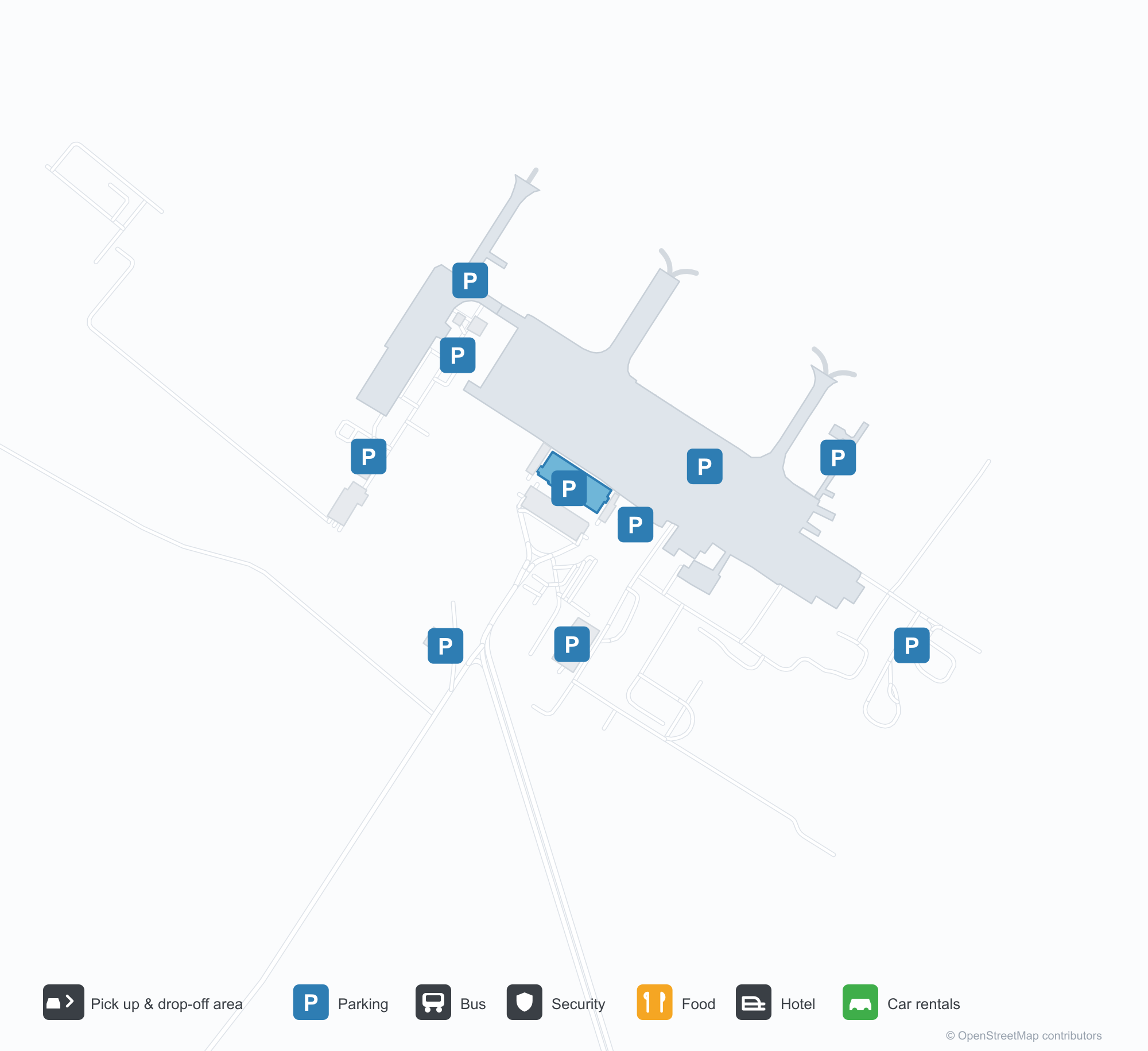
공항 지도 다운로드다운로드
공항 실제 사진공항 사진
다음은 이 공항의 실제 사진으로, 모두 공개된 인터넷 출처에서 가져왔으며 사진마다 출처를 표시했습니다. 저작권은 원저작자에게 있습니다. 사진을 클릭하면 크게 볼 수 있고, 출처를 클릭하면 원본 페이지가 열립니다.
야간 탑승 — FlyArystan 항공기로 계단을 오르는 승객들, 계류장 조명 아래 선명한 붉은 도색.
Aktau International Airport 노선도 · 직항 목적지노선도
직항 목적지 16개: 노선도, 운항 항공사, 비행 거리.
공항 정보 및 상세공항 상세
Aktau International Airport 인터랙티브 지도 — 공항 위치인터랙티브 지도
다른 지도 서비스에서 이 공항 보기:
Aktau Airport (SCO): Sixteen Routes by the Caspian공항 안내
The night boarding scene shows passengers climbing the stairs to a FlyArystan aircraft, its red livery picked out by the lights. The airport serves Aktau, Kazakhstan, at an elevation of about 22 m, with a 3,052 m runway; the 2014 snapshot records 16 destinations, 6 domestic and 10 international, from Makhachkala at 301 km to Almaty at 2,082 km.
Airport photos

Boarding at night — passengers climbing the stairs to a FlyArystan aircraft, its red livery sharp under the apron lights.
The photos come from public web sources and remain the copyright of their photographers; full credits and source links sit in the photo gallery on this page.
Airport at a glance
| Item | Detail |
|---|---|
| IATA / ICAO | SCO / UATE |
| Role | Large airport |
| Elevation | about 22 m |
| Coordinates | 43.8601, 51.0909 |
| Runways | 1, 3,052 m |
| Non-stop destinations | 16 (6 domestic, 10 international; 2014 snapshot) |
| Official site | aktau-airport.kz |
Runways
| Runway | Length | Width | Surface |
|---|---|---|---|
| 12/30 | 3,052 m | 45 m | asphalt |
1 runway, the longest 3,052 m.
Non-stop routes
16 non-stop destinations, nearest first (OpenFlights route snapshot compiled in 2014 — confirm with the airline or airport):
| Destination | Distance | Carriers |
|---|---|---|
| Makhachkala Uytash International Airport (MCX) | ~301 km | Scat Air |
| Astrakhan Narimanovo Boris M. Kustodiev International Airport (ASF) | ~362 km | Scat Air |
| Atyrau International Airport (GUW) | ~367 km | Scat Air, Air Astana |
| Heydar Aliyev International Airport (GYD) | ~386 km | Scat Air, Azerbaijan Airlines |
| Tbilisi International Airport (TBS) | ~557 km | Scat Air |
| Mineralnye Vody Airport (MRV) | ~641 km | Scat Air |
| Zvartnots International Airport (EVN) | ~690 km | Scat Air |
| Manshuk Mametova International Airport (URA) | ~812 km | Scat Air |
| Aktobe International Airport (AKX) | ~847 km | Scat Air |
| Krasnodar Pashkovsky International Airport (KRR) | ~954 km | Scat Air |
| Korkyt Ata International Airport (KZO) | ~1157 km | Scat Air |
| Shymkent International Airport (CIT) | ~1498 km | Scat Air |
| Domodedovo International Airport (DME) | ~1591 km | Scat Air |
| Vnukovo International Airport (VKO) | ~1634 km | Transaero Airlines |
| İstanbul Airport (IST) | ~1848 km | Air Astana |
| Almaty International Airport (ALA) | ~2082 km | Scat Air, Air Astana |
The carrier column comes from the same snapshot and includes codeshare and interline services; treat it as an indication of how busy the route is and check the airline for who actually flies it.
Nearby airports to compare
If the fares are close, these are the nearest airports of the same class (large airport) — straight-line distance, with their own non-stop counts from the same dataset:
| Airport | Distance | Non-stop destinations |
|---|---|---|
| Astrakhan Narimanovo Boris M. Kustodiev International Airport (ASF) | ~362 km | 7 |
| Atyrau International Airport (GUW) | ~367 km | 6 |
Before you fly
- Allow 2–3 hours for an international departure; winter crosswinds on the Caspian can affect flights.
- The 16 destinations are a 2014 snapshot, and Scat and Air Astana have expanded since; check current schedules.
About the data
Runways, elevation and coordinates come from OurAirports open data. Routes and carriers come from the June 2014 OpenFlights snapshot and include codeshares and interline services; they indicate network shape and scale, not current schedules.