
Angelina County Airport
 Lufkin · 미국· Angelina County Airport
Angelina County Airport(IATA: LFK, ICAO: KLFK)은 미국 Lufkin에 위치한 중형 공항입니다.
Angelina County Airport is a medium-sized airport, at an elevation of about 296 ft. This page gathers its location map, airport codes and travel information.
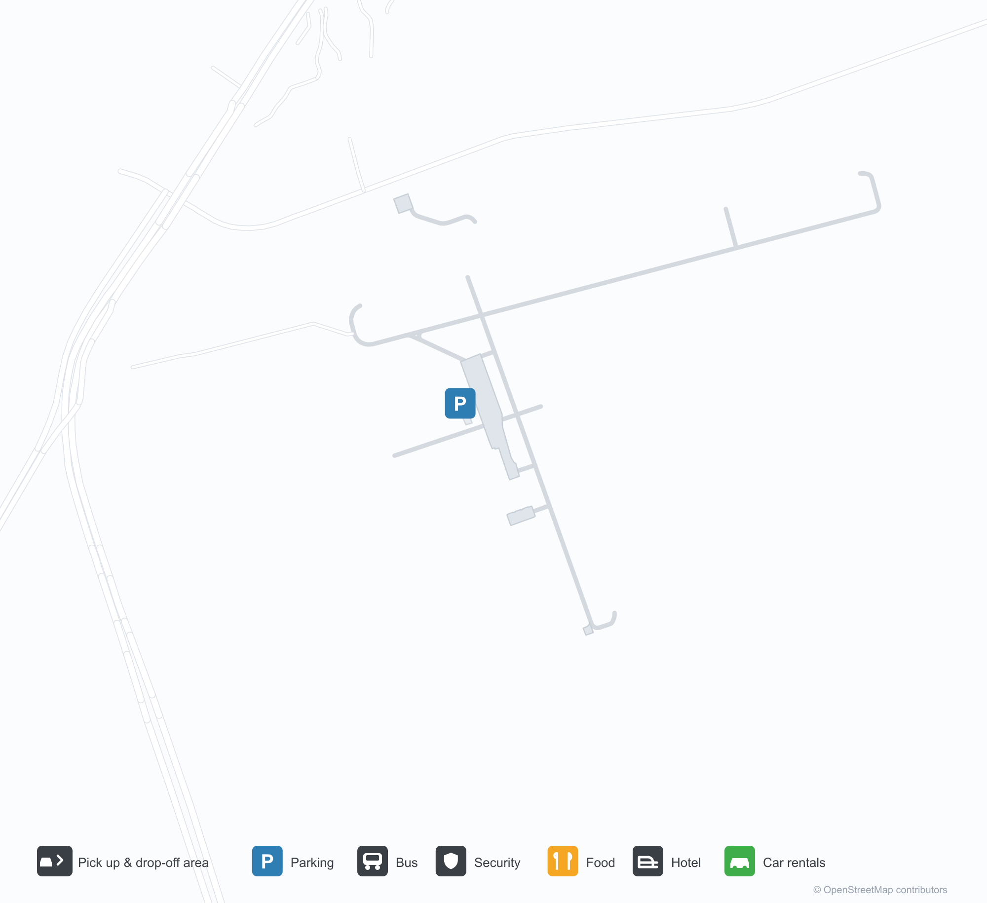
공항 지도 다운로드다운로드
공항 실제 사진공항 사진
다음은 이 공항의 실제 사진으로, 모두 공개된 인터넷 출처에서 가져왔으며 사진마다 출처를 표시했습니다. 저작권은 원저작자에게 있습니다. 사진을 클릭하면 크게 볼 수 있고, 출처를 클릭하면 원본 페이지가 열립니다.
최종 접근 중인 Cessna — 날개 아래로 잔디 활주로와 녹슨 붉은 급수탑, 비행장의 시골 풍경을 한 화면에 담은 모습.
공항 정보 및 상세공항 상세
Angelina County Airport 인터랙티브 지도 — 공항 위치인터랙티브 지도
다른 지도 서비스에서 이 공항 보기:
Angelina County Airport (LFK): A Grass Runway and a Rust-Red Water Tower공항 안내
A Cessna is on approach, a grass runway and a rust-red water tower beneath its wing — the airfield feels unmistakably rural. The field serves Lufkin, Texas, at an elevation of about 90 m, with two runways up to 1,646 m; the 2014 snapshot records no scheduled routes, and OurAirports lists it for general aviation and charters.
Airport photos

A Cessna on final approach — the grass strip and a rust-red water tower under its wing, the field's rural character in one frame.
The photos come from public web sources and remain the copyright of their photographers; full credits and source links sit in the photo gallery on this page.
Airport at a glance
| Item | Detail |
|---|---|
| IATA / ICAO | LFK / KLFK |
| Role | Medium-sized airport |
| Elevation | about 90 m |
| Coordinates | 31.2340, -94.7500 |
| Runways | 2, longest 1,646 m |
| Non-stop destinations | 0 in the 2014 snapshot |
| Official site | www.angelinacounty.net/departments/airport |
Runways
| Runway | Length | Width | Surface |
|---|---|---|---|
| 07/25 | 1,646 m | 30 m | asphalt |
| 16/34 | 1,314 m | 30 m | asphalt |
2 runways, the longest 1,646 m.
Non-stop routes
The route dataset carries no scheduled non-stop services for this airport. Regional schedules change often — confirm with the airline or airport before booking.
Nearby airports to compare
If the fares are close, these are the nearest airports of the same class (medium-sized airport) — straight-line distance, with their own non-stop counts from the same dataset:
| Airport | Distance | Non-stop destinations |
|---|---|---|
| Alexandria International Airport (AEX) | ~210 km | 3 |
| Austin Executive Airport (EDC) | ~285 km | — |
Before you fly
- General aviation and charters dominate; confirm runway condition, fuel and parking before departure.
- East Texas sees thunderstorms and low cloud, so check the visual-flight weather window in advance.
About the data
Runways, elevation and coordinates come from OurAirports open data. Routes and carriers come from the June 2014 OpenFlights snapshot and include codeshares and interline services; they indicate network shape and scale, not current schedules.
History
Thirteen kilometres south-west of downtown Lufkin, the field covers 385 acres with two asphalt runways; 97% of its 18,500 operations in 2008 were general aviation.
Source: Angelina County Airport.