
Djibouti-Ambouli Airport
 Djibouti · 지부티· Djibouti-Ambouli Airport
Djibouti-Ambouli Airport(IATA: JIB, ICAO: HDAM)은 지부티 Djibouti에 위치한 대형 공항입니다.
Djibouti-Ambouli Airport is a large airport, at an elevation of about 49 ft, with scheduled passenger service. This page gathers its location map, airport codes and travel information.
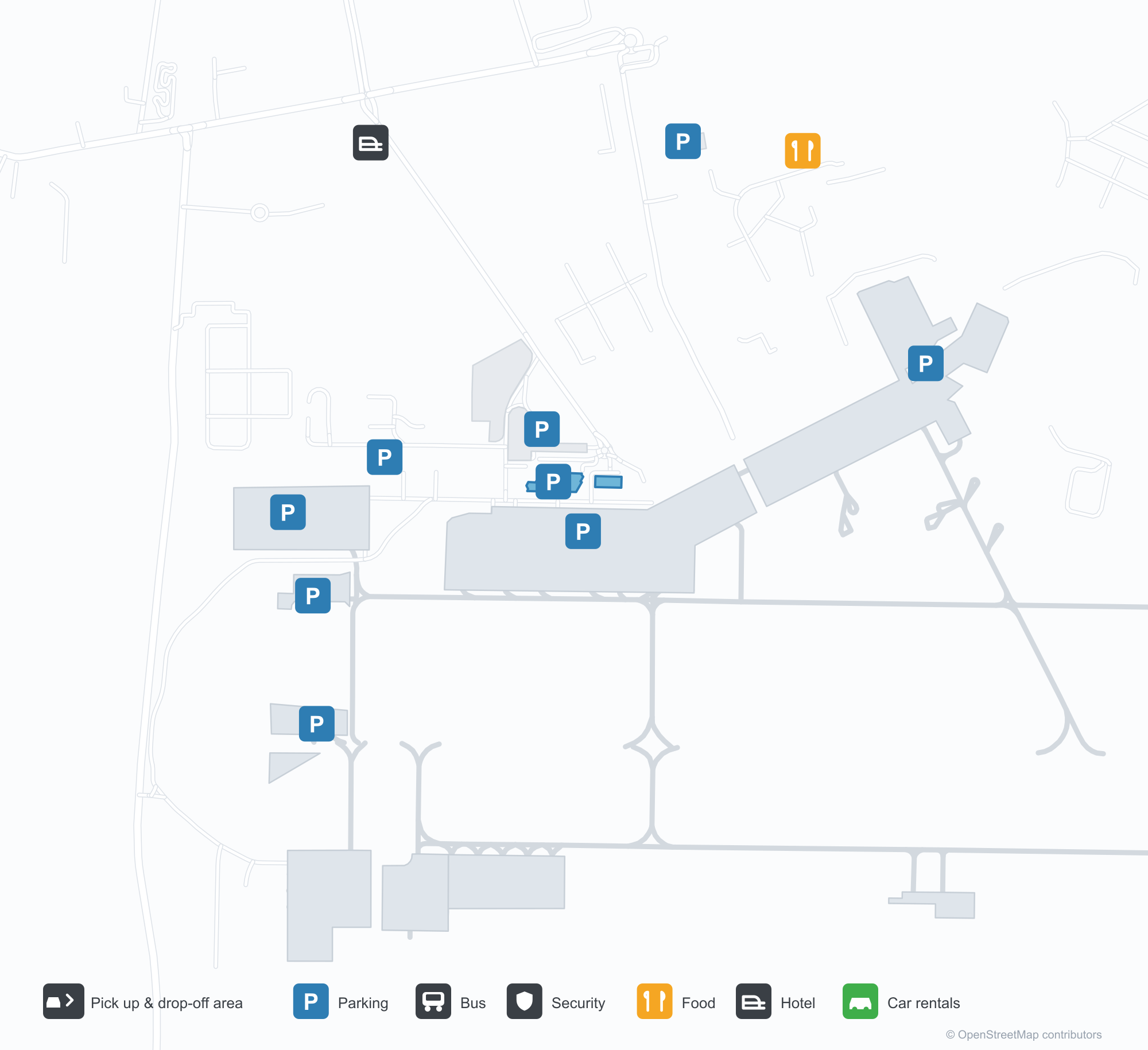
공항 지도 다운로드다운로드
공항 실제 사진공항 사진
다음은 이 공항의 실제 사진으로, 모두 공개된 인터넷 출처에서 가져왔으며 사진마다 출처를 표시했습니다. 저작권은 원저작자에게 있습니다. 사진을 클릭하면 크게 볼 수 있고, 출처를 클릭하면 원본 페이지가 열립니다.
위성 사진: 타주라만 남안에 자리한 지부티 공항 활주로 — 비행장 북쪽에 터미널과 계류장, 주변에 항구와 도시.
Djibouti-Ambouli Airport 노선도 · 직항 목적지노선도
직항 목적지 12개: 노선도, 운항 항공사, 비행 거리.
공항 정보 및 상세공항 상세
Djibouti-Ambouli Airport 인터랙티브 지도 — 공항 위치인터랙티브 지도
다른 지도 서비스에서 이 공항 보기:
Djibouti Airport (JIB): Twelve International Routes on the Gulf of Tadjoura공항 안내
On satellite imagery, Djibouti's runway lies on the south shore of the Gulf of Tadjoura, with the terminal and apron north of the field and the port and city around. The airport serves Djibouti City at an elevation of about 15 m, with a 3,150 m runway; the 2014 snapshot records 12 destinations, all international, from Hargeisa at 248 km to Paris at 5,591 km.
Satellite view
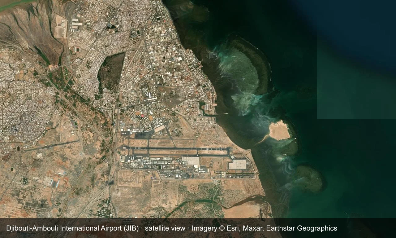
Satellite view: Djibouti's runway lies on the south shore of the Gulf of Tadjoura, with the terminal and apron north of the field and the port and city around.
The satellite image comes from Esri World Imagery (© Esri, Maxar, Earthstar Geographics); the field and attribution are labelled in the image. This is a satellite view, not a ground-level photograph.
Airport at a glance
| Item | Detail |
|---|---|
| IATA / ICAO | JIB / HDAM |
| Role | Large airport |
| Elevation | about 15 m |
| Coordinates | 11.5473, 43.1595 |
| Runways | 1, 3,150 m |
| Non-stop destinations | 12 (2014 snapshot, all international) |
Nearby airports
If nothing fits, these nearby fields are worth comparing:
| Airport | Distance |
|---|---|
| Assab International Airport (ASA) | 178 km |
| Aden International Airport (ADE) | 248 km |
| Ataq Airport (AXK) | 519 km |
Before you fly
- Allow 2–3 hours for an international departure; the 12 destinations span the Horn of Africa, the Gulf and Europe.
- The 2014 carrier list is old; check current airline schedules before booking.
About the data
Runways, elevation and coordinates come from OurAirports open data. Routes and carriers come from the June 2014 OpenFlights snapshot and include codeshares and interline services; they indicate network shape and scale, not current schedules.