
César Manrique-Lanzarote Airport
 Arrecife · 스페인· César Manrique-Lanzarote Airport
César Manrique-Lanzarote Airport(IATA: ACE, ICAO: GCRR)은 스페인 Arrecife에 위치한 대형 공항입니다.
César Manrique-Lanzarote Airport is a large airport, at an elevation of about 46 ft, with scheduled passenger service. This page gathers its location map, airport codes and travel information.
공항 지도 다운로드다운로드
공항 실제 사진공항 사진
다음은 이 공항의 실제 사진으로, 모두 공개된 인터넷 출처에서 가져왔으며 사진마다 출처를 표시했습니다. 저작권은 원저작자에게 있습니다. 사진을 클릭하면 크게 볼 수 있고, 출처를 클릭하면 원본 페이지가 열립니다.
해질녘의 세사르 마리케-란사로테 공항 — 움푹 파인 선인장 정원 위의 공항 표지, 뒤로 섬의 구릉.
César Manrique-Lanzarote Airport 노선도 · 직항 목적지노선도
직항 목적지 51개: 노선도, 운항 항공사, 비행 거리.
공항 정보 및 상세공항 상세
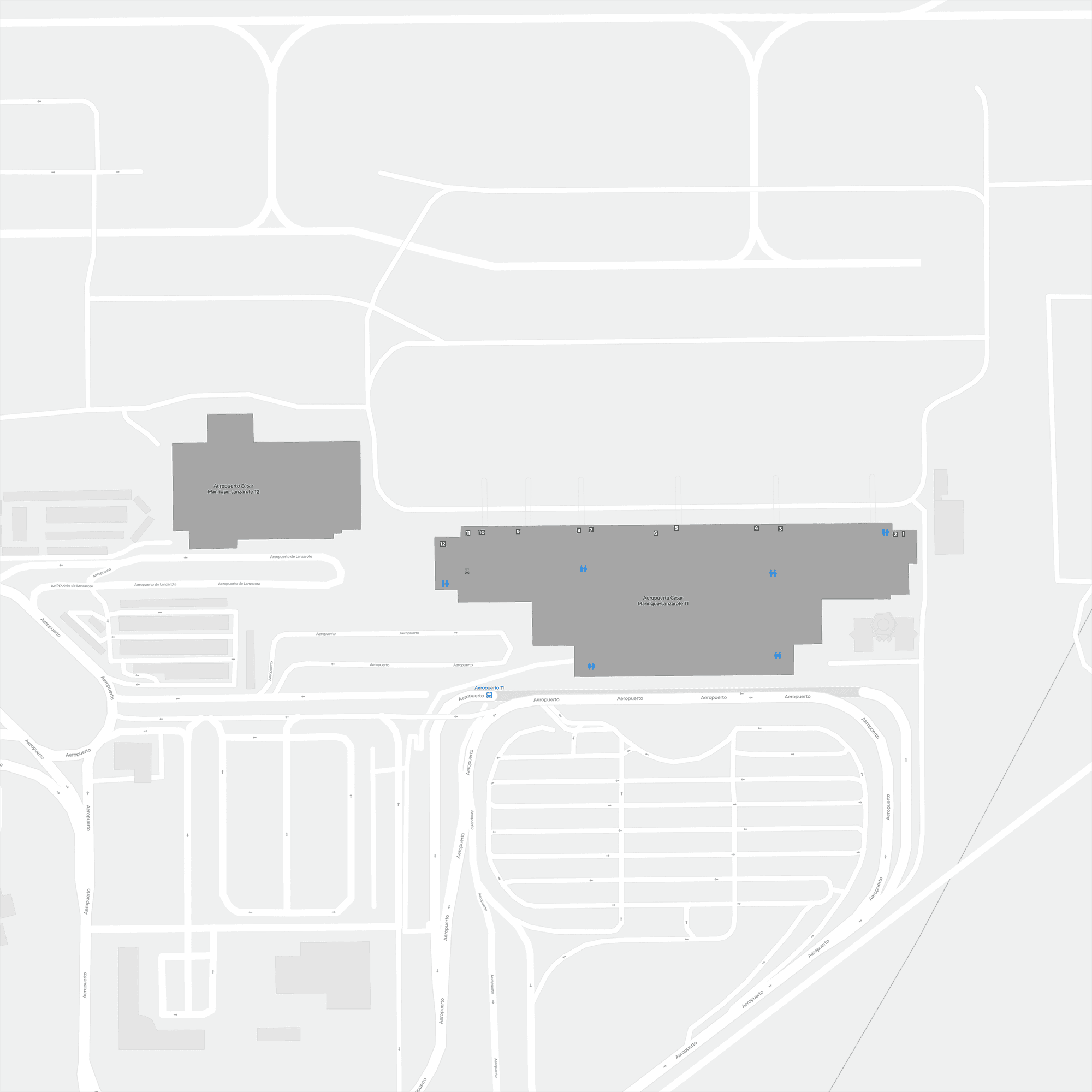
César Manrique-Lanzarote Airport 인터랙티브 지도 — 공항 위치인터랙티브 지도
다른 지도 서비스에서 이 공항 보기:
Lanzarote Airport (ACE): A Cactus Garden and Forty International Routes공항 안내
Lanzarote has only one photo here, but it carries a lot: at dusk, the airport's sign stands above a sunken cactus garden, with the island's hills behind. This is not an airport remembered for the size of its terminal but for the way it is tied to the volcanic landscape — and, underneath that, for being a serious holiday gateway in the Canary Islands.
César Manrique-Lanzarote Airport (IATA ACE, ICAO GCRR) serves the island near Arrecife, Spain, at an elevation of only about 14 m, with a single 2,400 m runway. The 2014 route snapshot records 51 non-stop destinations: 11 in Spain and 40 abroad.
Airport photos

César Manrique-Lanzarote Airport at dusk — the airport's sign above a sunken cactus garden, with the island's hills behind.
The photos come from public web sources and remain the copyright of their photographers; full credits and source links sit in the photo gallery on this page.
Airport at a glance
| Item | Detail |
|---|---|
| IATA / ICAO | ACE / GCRR |
| Role | Large airport and holiday gateway for the Canary Islands |
| Elevation | about 14 m |
| Coordinates | 28.9455, -13.6052 |
| Runway | 1: 03/21, 2,400 m |
| Non-stop destinations | 51 (11 domestic, 40 international; 2014 snapshot) |
| Official site | lanzaroteairport.info |
Network shape: forty international routes carry an island
By distance: 3 destinations within 1,000 km, 35 between 1,000 and 3,000 km, 13 between 3,000 and 6,000 km, and none beyond 6,000 km. The short layer is inter-island: Fuerteventura (60 km), Gran Canaria (207 km) and Tenerife North (272 km). The far layer reaches Hamburg (3,346 km), Leipzig (3,291 km) and Bremen (3,244 km). With 35 destinations in the 1,000–3,000 km band, the map is essentially the western European source market.
| Distance band | Destinations |
|---|---|
| Under 1,000 km | 3 |
| 1,000–3,000 km | 35 |
| 3,000–6,000 km | 13 |
| Over 6,000 km | 0 |
Ryanair appears on 29 routes, Condor on 13, Thomas Cook on 8 and Transavia France on 8. The carrier column includes codeshares, so the figures describe concentration. The full list is on the Lanzarote route map.
Getting there and navigating
- Coordinates: 28.9455, -13.6052
- Official site: lanzaroteairport.info
- Open in a map: Google Maps | Amap | Baidu Maps
If fares are close, compare Lisbon (LIS): about 1,169 km away with 99 destinations, or Oujda (OUD) about 1,279 km away with 9. Neither substitutes for the island airport itself, but both can work as alternative European gateways.
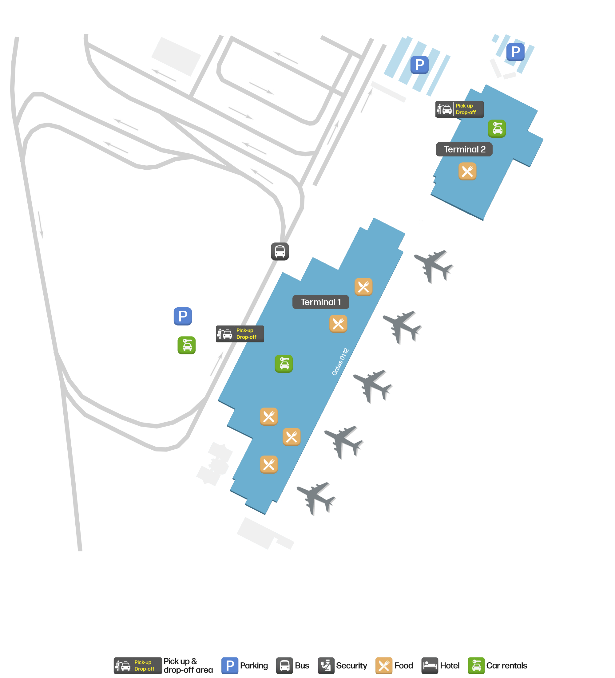
The location map on this page shows the field against Lanzarote's towns and the island road network. Terminal connections and local transport are not covered here; check the airport's or airline's own information.
Before you fly
- This is a strongly seasonal holiday airport: schedules and fares differ sharply between peak and low seasons. Include bags and transfers when comparing total cost.
- One 2,400 m runway means arrivals and departures bunch up at peak times, so allow extra time for security and baggage.
- The 51 destinations are a 2014 snapshot; low-cost island networks change often. Check the airline's current schedule.
About the data
Runways, elevation and coordinates come from OurAirports open data. Routes and carriers come from the June 2014 OpenFlights snapshot and include codeshares and interline services; they indicate network shape and scale, not current schedules. Photos are from public web sources and remain the copyright of their photographers.