
Aji Pangeran Tumenggung Pranoto International Airport
 Samarinda · 인도네시아· Aji Pangeran Tumenggung Pranoto International Airport
Aji Pangeran Tumenggung Pranoto International Airport(IATA: AAP, ICAO: WALS)은 인도네시아 Samarinda에 위치한 중형 공항입니다.
Aji Pangeran Tumenggung Pranoto International Airport is a medium-sized airport, at an elevation of about 82 ft, with scheduled passenger service. This page gathers its location map, airport codes and travel information.
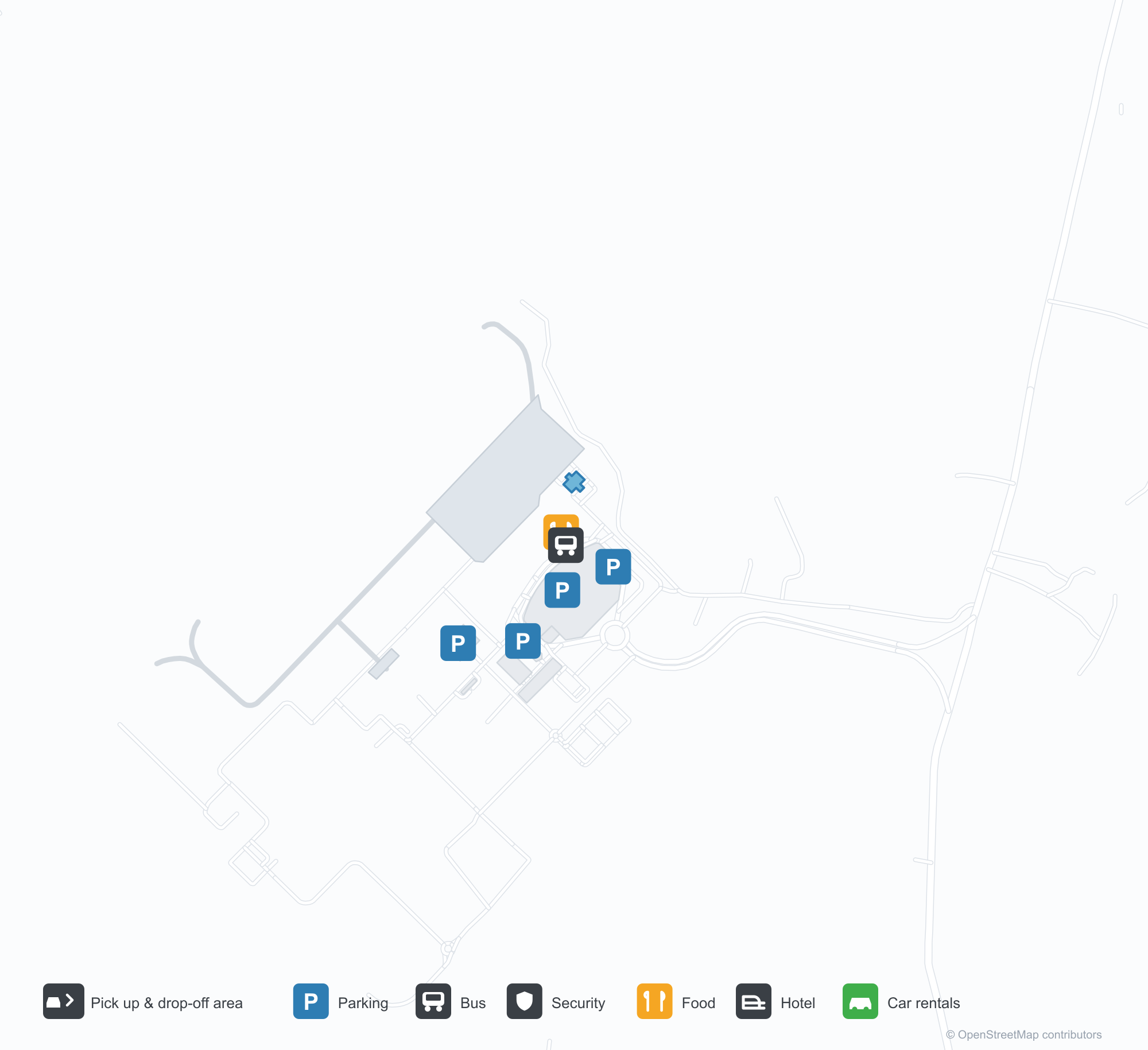
공항 지도 다운로드다운로드
공항 실제 사진공항 사진
다음은 이 공항의 실제 사진으로, 모두 공개된 인터넷 출처에서 가져왔으며 사진마다 출처를 표시했습니다. 저작권은 원저작자에게 있습니다. 사진을 클릭하면 크게 볼 수 있고, 출처를 클릭하면 원본 페이지가 열립니다.
사마린다 APT 프라노토 국제공항 터미널: 비스듬한 흰 철골이 받치는 넓은 유리 외벽, 하차 구역 위로 뻗은 캐노피.
공항 정보 및 상세공항 상세
Aji Pangeran Tumenggung Pranoto International Airport 인터랙티브 지도 — 공항 위치인터랙티브 지도
다른 지도 서비스에서 이 공항 보기:
Samarinda Airport (AAP): A New Terminal Under Steel and Glass공항 안내
Samarinda's new terminal uses diagonal white steel to carry a wide glass frontage, with the canopy running out over the drop-off lane. The airport serves Samarinda in East Kalimantan, Indonesia, at an elevation of about 25 m, with a 2,250 m runway; the 2014 snapshot records no scheduled routes.
Airport photos
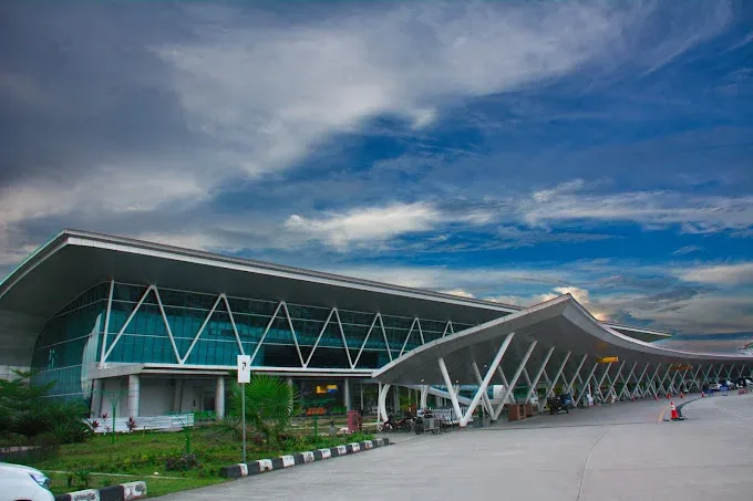
The terminal of Samarinda's APT Pranoto International Airport: a wide glass façade braced by angled white steelwork, with the canopy reaching out over the drop-off area.
The photos come from public web sources and remain the copyright of their photographers; full credits and source links sit in the photo gallery on this page.
Airport at a glance
| Item | Detail |
|---|---|
| IATA / ICAO | AAP / WALS |
| Role | Medium-sized airport |
| Elevation | about 25 m |
| Coordinates | -0.3745, 117.2501 |
| Runways | 1, 2,250 m |
| Non-stop destinations | 0 in the 2014 snapshot |
Runways
| Runway | Length | Width | Surface |
|---|---|---|---|
| 04/22 | 2,250 m | 45 m | asphalt |
1 runway, the longest 2,250 m.
Non-stop routes
The route dataset carries no scheduled non-stop services for this airport. Regional schedules change often — confirm with the airline or airport before booking.
Nearby airports to compare
If the fares are close, these are the nearest airports of the same class (medium-sized airport) — straight-line distance, with their own non-stop counts from the same dataset:
| Airport | Distance | Non-stop destinations |
|---|---|---|
| Abdul Rachman Saleh Airport (MLG) | ~979 km | 2 |
| Adisutjipto International Airport (JOG) | ~1,118 km | 13 |
Before you fly
- The 2014 snapshot has no scheduled routes; check the airport and airlines for current services.
- Onward travel in East Kalimantan often involves road or small-aircraft legs, so allow time for bags and transfers.
About the data
Runways, elevation and coordinates come from OurAirports open data. Routes and carriers come from the June 2014 OpenFlights snapshot and include codeshares and interline services; they indicate network shape and scale, not current schedules.