
Adıyaman Airport
 Adıyaman · トルコ· Adıyaman Airport
Adıyaman Airport(IATA: ADF、ICAO: LTCP)はAdıyaman、トルコにある中型空港です。
Adıyaman Airport is a medium-sized airport, at an elevation of about 2,216 ft, with scheduled passenger service. This page gathers its location map, airport codes and travel information.
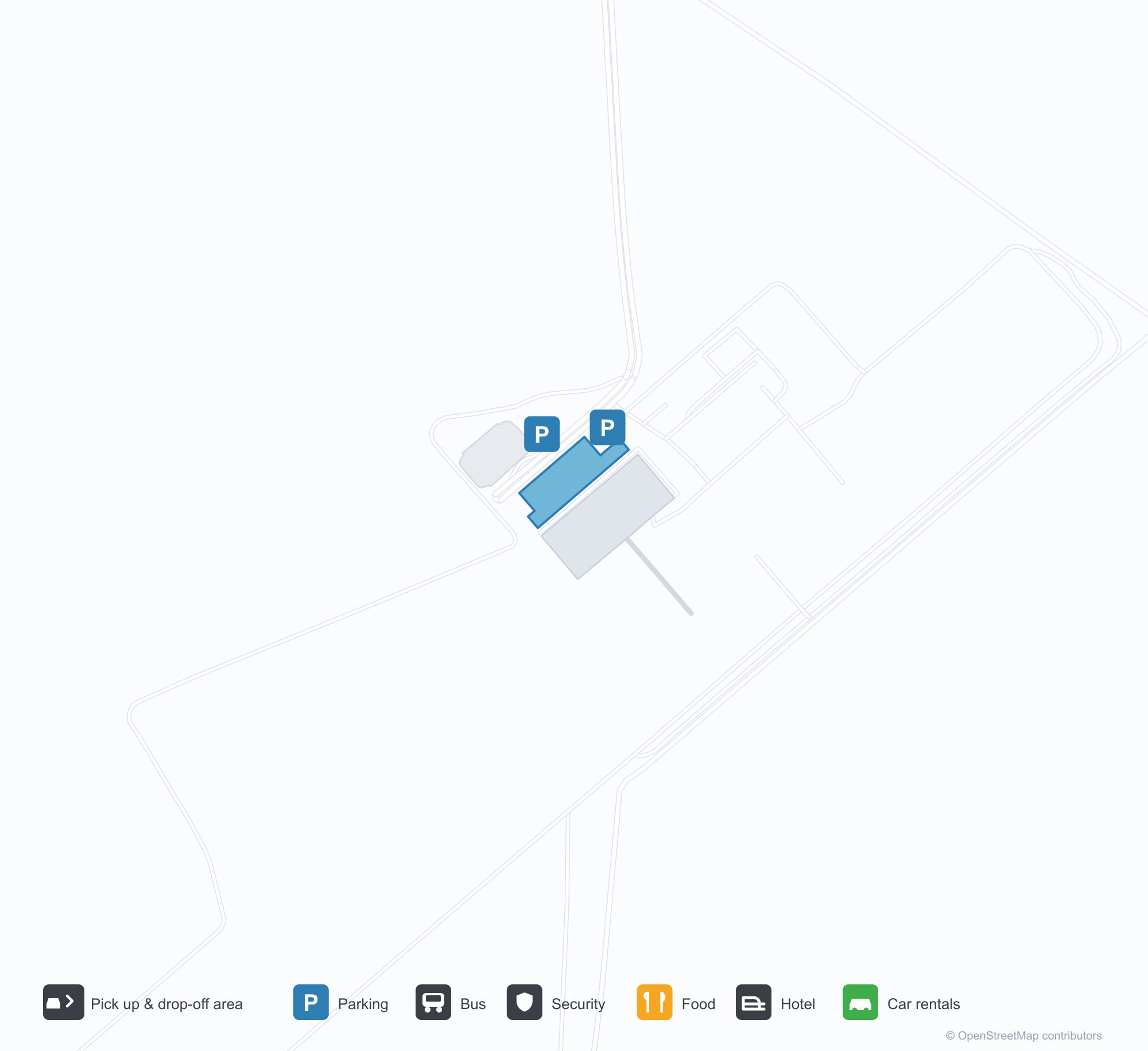
空港マップをダウンロードダウンロード
空港写真空港写真
この空港の実際の写真です。いずれも公開ウェブページを出典として明記しており、著作権は撮影者に帰属します。写真をクリックすると拡大表示され、クレジットをクリックすると元のページが開きます。
衛星画像:アドゥヤマンの滑走路はトルコ南東部の台地にあり、ターミナルとエプロンが並び、周囲に丘陵と農地が広がる。
Adıyaman Airportの路線マップ — 直行便の目的地路線マップ
直行目的地2か所。地図、就航航空会社、距離を掲載しています。
Adıyaman Airport発着便 — 出発と到着フライトボード
便名10件、3社の航空会社、3か所の目的地を出発・到着別に掲載しています。コードシェア便も含みます。
| 便 | 航空会社 | 目的地 | 国・地域 |
|---|---|---|---|
| PC2151 | Pegasus Airlines | Istanbul Sabiha Gökçen International Airport | トルコ |
| TK2215 | Turkish Airlines | イスタンブール空港 | トルコ |
| TK2217 | Turkish Airlines | イスタンブール空港 | トルコ |
| VF3163 | Ajet | Istanbul Sabiha Gökçen International Airport | トルコ |
| VF4103 | Ajet | Ankara (ESB) Esenboğa International Airport | トルコ |
便名と路線はaviability.comのフライトインデックス(スナップショット:2026年10月26日)に基づきます。コードシェア便を含み、出発時刻は掲載していません。出典:aviability.com ↗
空港情報と詳細空港の詳細
インタラクティブマップ — Adıyaman Airportの位置インタラクティブマップ
他の地図サービスでこの空港を見る:
Adıyaman Airport (ADF): Two Domestic Routes in South-Eastern Turkey空港ガイド
Seen from above, Adıyaman's runway lies on the south-eastern Turkish plateau, with the terminal and apron alongside it and hills and farmland around. The airport serves Adıyaman, Turkey, at an elevation of about 675 m, with a 2,485 m runway; both routes head west, to Ankara (543 km) and Istanbul (923 km), and the city is a base for the Nemrut Dağı area.
Satellite view
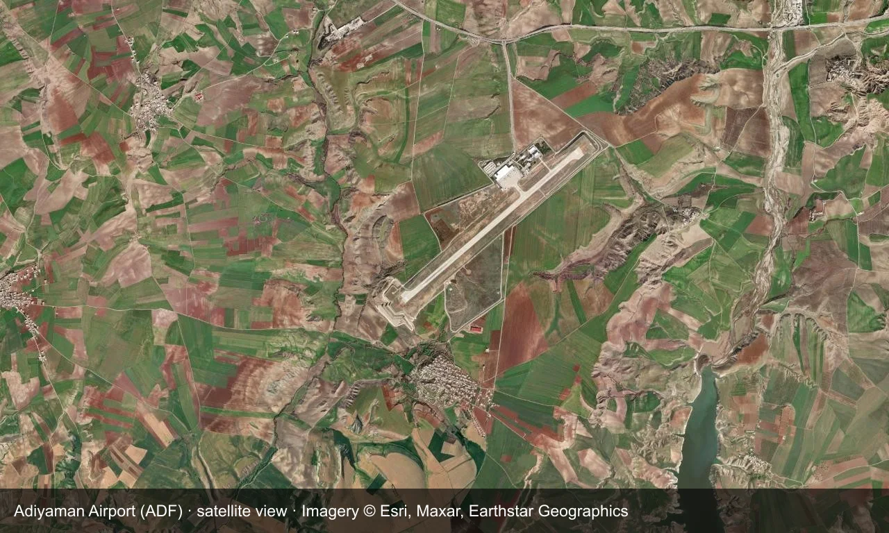
Satellite view: Adıyaman's runway lies on the south-eastern Turkish plateau, with the terminal and apron alongside it and hills and farmland around.
The satellite image comes from Esri World Imagery (© Esri, Maxar, Earthstar Geographics); the field and attribution are labelled in the image. This is a satellite view, not a ground-level photograph.
Airport at a glance
| Item | Detail |
|---|---|
| IATA / ICAO | ADF / LTCP |
| Role | Medium-sized airport |
| Elevation | about 675 m |
| Coordinates | 37.7314, 38.4689 |
| Runways | 1, 2,485 m |
| Non-stop destinations | 2 (2014 snapshot, all domestic) |
Nearby airports
If nothing fits, these nearby fields are worth comparing:
| Airport | Distance |
|---|---|
| Aleppo International Airport (ALP) | 205 km |
| Ağrı Airport (AJI) | 450 km |
| Al Asad Air Base (IQA) | 566 km |
Before you fly
- With only Ankara and Istanbul, confirm the flight is operating after booking.
- South-eastern Turkey can see winter snow, so check airline notices before departure.
About the data
Runways, elevation and coordinates come from OurAirports open data. Routes and carriers come from the June 2014 OpenFlights snapshot and include codeshares and interline services; they indicate network shape and scale, not current schedules.
読者コメントディスカッション
質問、旅行記、訂正など、お気軽にお寄せください。コメントは公開されます。
読み込み中…
コメントを読み込み中…