
Assab International Airport
 Assab · Eritrea· Assab International Airport
Assab International Airport (IATA: ASA, OACI HHSB) es un aeropuerto mediano que da servicio a Assab, Eritrea.
Assab International Airport is a medium-sized airport, at an elevation of about 46 ft. This page gathers its location map, airport codes and travel information.
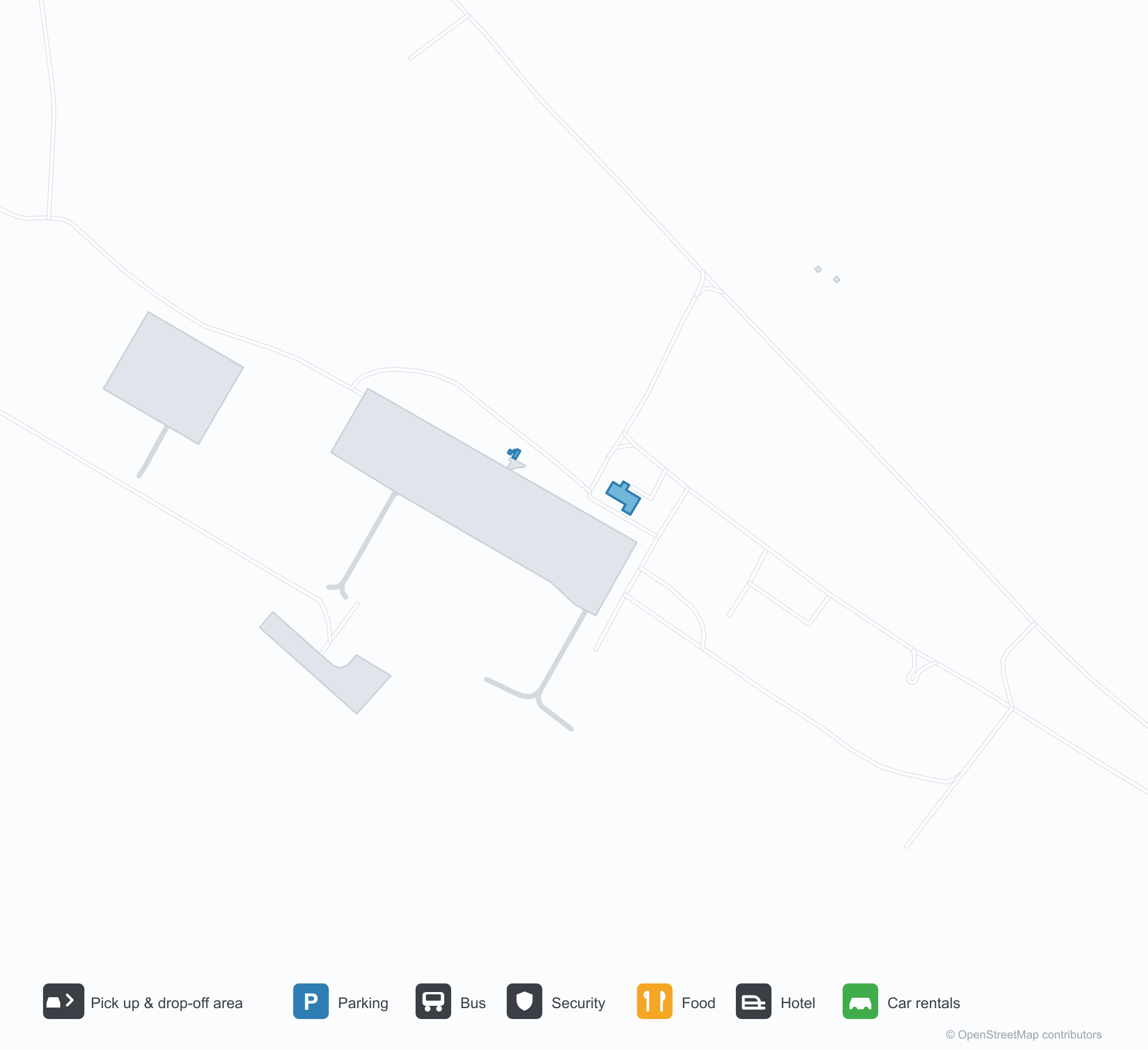
Descargar mapas de aeropuertosDescargas
Fotos del aeropuertoFotos del aeropuerto
Fotos reales de este aeropuerto, cada una con la referencia de la página web pública donde se encontró; los derechos de autor siguen siendo de los fotógrafos originales. Haz clic en una foto para ampliarla o en la línea de crédito para abrir su página de origen.
En la imagen satelital, la pista del Aeropuerto Internacional de Assab (ASA) se encuentra entre terreno seco y tierra desnuda.
Información y datos del aeropuertoDatos del aeropuerto
Mapa interactivo — ubicación de Assab International AirportMapa interactivo
Consulta este aeropuerto en otros servicios de mapas:
Assab International Airport (ASA) Guide: An airport mapped, partly unmeasuredGuía del aeropuerto
Satellite imagery of Assab International Airport (ASA) in Eritrea shows a field surrounded by a patchwork of vegetation and open ground. At about 14 m above sea level, it has a single 3,515 m runway. The 2014 snapshot lists no scheduled destinations; Taiz International Airport is 175 km away.
Satellite view
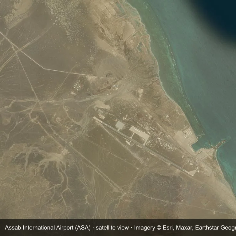
Satellite view of Assab International Airport (ASA), with the airfield visible among a patchwork of vegetation and open ground.
Imagery: Esri World Imagery (© Esri, Maxar, Earthstar Geographics), with attribution in the image. It shows the field from orbit, not from the ground.
Airport at a glance
| Item | Detail |
|---|---|
| IATA / ICAO | ASA / HHSB |
| Role | medium-sized airport |
| Elevation | about 14 m |
| Coordinates | 13.0718, 42.6450 |
| Runways | 1, longest 3,515 m |
| Non-stop destinations | 0 in the 2014 snapshot |
Runways
| Runway | Length | Surface |
|---|---|---|
| 12/30 | 3,515 m | PEM |
Why there is no route table
No non-stop schedule was captured for ASA in 2014. For current movements, consult the airport operator or a recent flight-planning source.
Nearby airports
| Airport | Distance | Non-stop destinations |
|---|---|---|
| Taiz International Airport (TAI) | ~175 km | 6 |
| Djibouti-Ambouli Airport (JIB) | ~178 km | 12 |
| Aden International Airport (ADE) | ~260 km | 18 |
Getting there and navigating
- Coordinates: 13.0718, 42.6450
- Open in a map: Google Maps | Amap | Baidu Maps
You can use the map to place the airport against the surrounding road network. For terminal connections and local transport, consult the airport or airline.
Airport sketch
Assab International Airport occupies ground in Eritrea surrounded by a patchwork of vegetation and open ground. The 12/30 runway runs northwest–southeast and offers 3,515 m of runway; elevation is about 14 m.
The runway gives 3,515 m of runway, a narrowbody profile. The surface type is not listed in the open data. Taiz International Airport is 175 km away, with 6 destinations in the same snapshot.
With no routes in the 2014 data, this is not a reliable scheduled destination. Use Taiz International Airport as the nearest back-up and verify access with the airport operator.
Before you fly
- The 3,515 m runway can take larger regional aircraft, but that does not guarantee scheduled service.
- The runway is paved, which supports year-round operations, but scheduled service is still not guaranteed.
- Taiz International Airport is 175 km away with 6 destinations in the 2014 snapshot, making it the nearest alternative for a scheduled flight.
- The site has no terminal guide on this page, so allow extra time for local arrangements and onward transport.
- Treat this as a general-aviation or charter field rather than a large terminal; confirm handling and opening hours in advance.
About the data
Runways, elevation and coordinates come from OurAirports open data; routes come from the June 2014 OpenFlights snapshot. That snapshot describes network shape and scale, not current schedules.
Comentarios de los lectoresDebate
Las preguntas, los relatos de viaje y las correcciones son bienvenidos. Los comentarios son públicos.
Cargando…
Cargando comentarios…